2000s (21st Century) Maps of Barber County, Kansas
Explore 175 historic maps of Barber County from the 2000s (21st Century). These maps offer a rare glimpse into what life looked like during the 2000s — showing old roads, neighborhoods, homes, and landmarks that have changed or disappeared over time.
Whether you're researching your family's past, planning a metal detecting trip, or studying how Barber County's landscape evolved across the 2000s, these high-resolution maps are a powerful tool for exploring the history of this region.
- Focus on a specific era: All maps on this page are from the 2000s, giving you a focused view of this time period.
- See what’s changed: Compare century-old streets, trails, and buildings to today's modern landscape using overlays and satellite layers.
- Research with precision: Use these maps for genealogy, historical research, land use analysis, or educational projects.
- View, download, or print: Maps are fully viewable online in high resolution, and can be downloaded or printed for your own records.
Start exploring Barber County's history through authentic maps from the 2000s. This is your window into the past.
Barber County, KS maps
(175)- 2009 Map of Deerhead, 2009 Print
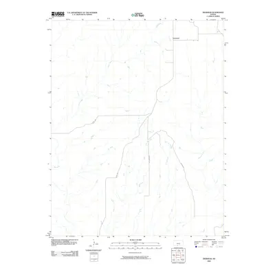 2009 Deerhead2009 Print · USGSDeerhead and the surrounding Barber County prairie are documented here at the end of the first decade of the new millennium. Researchers can trace the path of Inman Creek, the settlement at Deerhead, and rural routes like Estill Rd or Aetna Rd.
 - 2009 Map of Hackberry Creek, 2009 Print
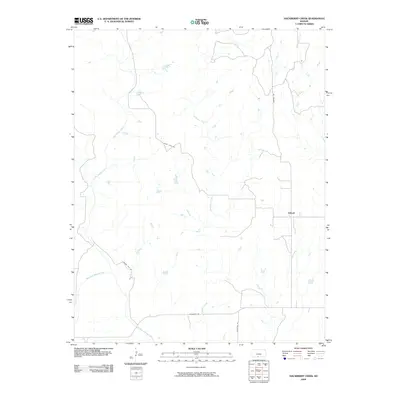 2009 Hackberry Creek2009 Print · USGSThe rural expanse of Barber County in the early twenty-first century is defined by its winding waterways and section roads. Genealogists and local historians can trace the geography around Eldred and the banks of the Salt Fork Arkansas River and Big Sandy Creek.
 - 2009 Map of Aetna, 2009 Print
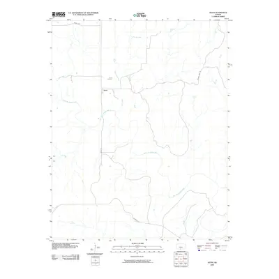 2009 Aetna2009 Print · USGSBarber County ranching country is mapped here in the early 2000s, centered on the rural settlement of Aetna. Genealogists and local historians can trace family ties at the Aetna Cemetery or follow the paths of Aetna Rd and Painted Post.
 - 2009 Map of Sun City, 2009 Print
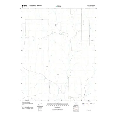 2009 Sun City2009 Print · USGSThe Barber County plains near Sun City and Elm Mills are shown here as they appeared in 2009. Genealogists and historians can trace local family landmarks like Sunnyside Cemetery and Chinn Cemetery or map the extent of the Sun City Oil Field.
 - 2009 Map of Pump Creek, 2009 Print
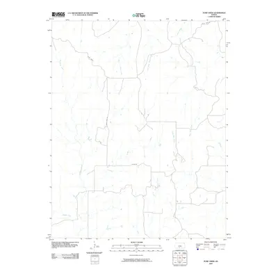 2009 Pump Creek2009 Print · USGSBarber County at the start of the twenty-first century reveals a landscape defined by its prairie hydrology and sectional roads. Researchers can trace the winding paths of Big Sandy Creek and Pump Creek or follow rural routes like Julian Rd and Crazy Horse.
 - 2009 Map of Indian Creek, 2009 Print
 2009 Indian Creek2009 Print · USGSComanche County at the turn of the twenty-first century reveals a landscape defined by its vital watercourses and rural road networks. Genealogists and historians can trace the paths of Indian Creek, Mule Creek, and Owl Creek as they wind through this prairie terrain.
 - 2009 Map of Belvidere, 2009 Print
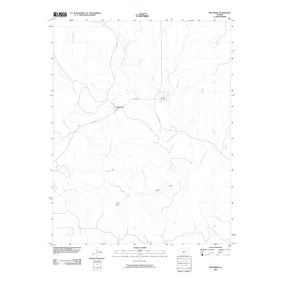 2009 Belvidere2009 Print · USGSSouthern Kiowa County is documented here during the early twenty-first century, centered on the settlement of Belvidere. Researchers can trace the meandering Medicine Lodge River or locate the Belvidere Cemetery and the extensive Glick Oil and Gas Field.
 - 2009 Map of Wilmore SE, 2009 Print
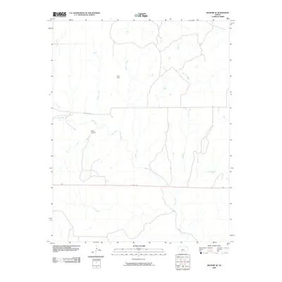 2009 Wilmore SE2009 Print · USGSComanche County during the early twenty-first century reveals a rugged landscape defined by the Red Hills and complex drainage systems. Researchers can trace the winding paths of Mule Creek and Widow Creek or explore the terrain of Baker Canyon.
 - 2009 Map of Zenda, 2009 Print
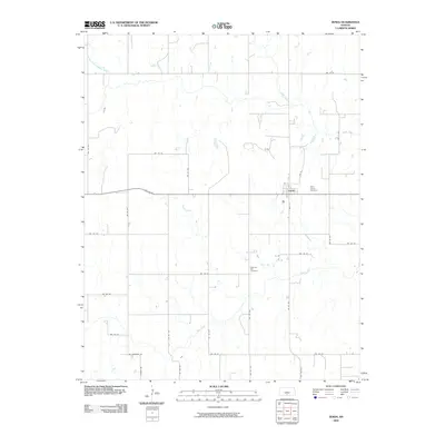 2009 Zenda2009 Print · USGSKingman County's agricultural heritage is etched into the prairie landscape in this late-2000s survey of the Zenda area. Researchers can trace rural lineages at Saint Johns Cemetery or follow the natural drainage of Goose Creek and the North Fork Chikaskia River.
 - 2009 Map of Sharon North, 2009 Print
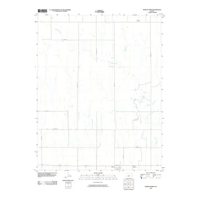 2009 Sharon North2009 Print · USGSBarber County agricultural lands and the settlement of Sharon are captured here in the early 2000s. Family historians can locate specific burial sites at Saint Boniface Cemetery and Burgess Cemetery or trace rural property access along Plum Thicket Rd.
 - 2009 Map of Gerlane, 2009 Print
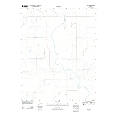 2009 Gerlane2009 Print · USGSBarber County at the end of the first decade of the 2000s shows a landscape defined by the winding Medicine Lodge River and rural homesteads. Genealogists and local historians can locate Liberty Cemetery and the small settlement of Gerlane.
 - 2009 Map of Medicine Lodge, 2009 Print
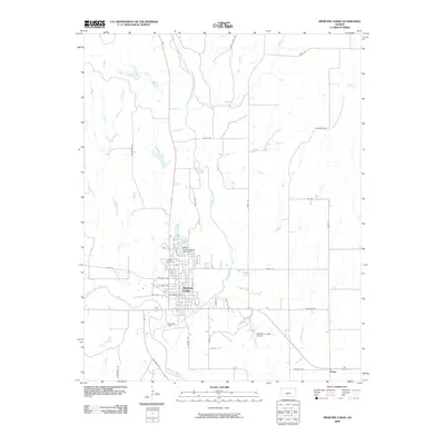 2009 Medicine Lodge2009 Print · USGSMedicine Lodge and the surrounding plains of Barber County are captured here in the early twenty-first century. Researchers can trace the development of the Bloom Oil Field and locate rural landmarks like Highland Cemetery and the settlement of Pixley.
 - 2009 Map of Stubbs, 2009 Print
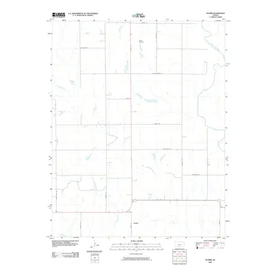 2009 Stubbs2009 Print · USGSStubbs and the surrounding Barber County ranch lands are captured here during the first decade of the 2000s. Researchers can trace the drainages of Little Mule Creek and find rural landmarks like Rattlesnake Trl and the Medicine Lodge River.
 - 2009 Map of Sharon South, 2009 Print
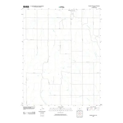 2009 Sharon South2009 Print · USGSBarber County ranching and farming country comes into focus in the early 2000s, centered on the settlement of Sharon. Researchers can trace old family properties and local landmarks via the grid of named routes like Cedar Hills Rd and Bluestem Rd.
 - 2009 Map of Sawyer, 2009 Print
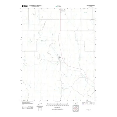 2009 Sawyer2009 Print · USGSSawyer and the surrounding Pratt County ranch lands are captured here in the early twenty-first century. Genealogists and local historians can trace the creek-side settlement at Elm Mills and follow the paths of North Elm Creek and South Elm Creek.
 - 2009 Map of Crisfield, 2009 Print
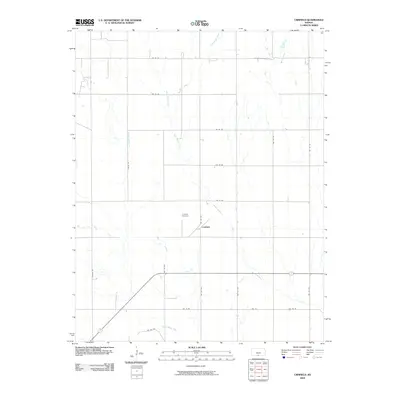 2009 Crisfield2009 Print · USGSHarper County agricultural life is captured here in the early twenty-first century, showing the enduring grid of the Kansas plains. Genealogists can locate Crisfield Cemetery and trace the paths of Little Sandy Creek and Bachelor Creek through this rural landscape.
 - 2009 Map of Zenda SE, 2009 Print
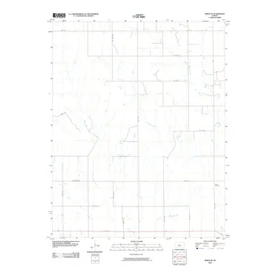 2009 Zenda SE2009 Print · USGSBarber County at the close of the first decade of the 2000s remains a landscape of wide-open ranch land and section-line roads. Researchers can locate family landmarks such as Baird Cemetery or trace the winding course of Cottonwood Creek and Gene Creek.
 - 2009 Map of Hardtner, 2009 Print
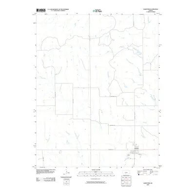 2009 Hardtner2009 Print · USGSHardtner and the surrounding prairie of Barber County are captured here in the late 2000s, documenting the rural road network and local waterways. Researchers can trace the path of Driftwood Creek and locate family land near named routes like Rattlesnake Trl and Gyp Hill Rd.
 - 2009 Map of Medicine Lodge SW, 2009 Print
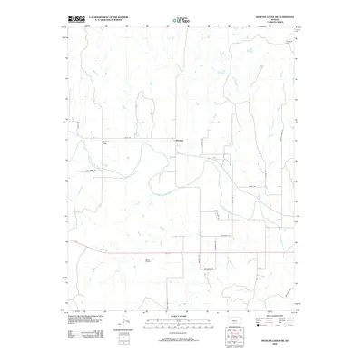 2009 Medicine Lodge SW2009 Print · USGSBarber County in the late 2000s is defined by its winding waterways and the unique landforms of the Gypsum Hills. Researchers can trace the layout of small communities like Mingona and Forest City or locate landmarks such as the Twin Peaks.
 - 2009 Map of Sun City SW, 2009 Print
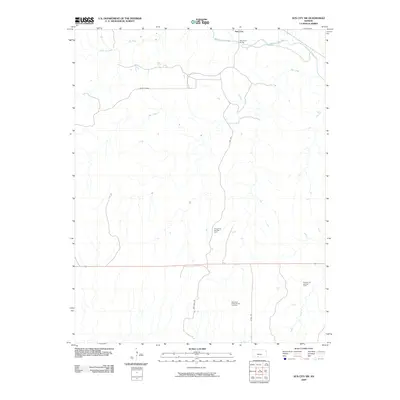 2009 Sun City SW2009 Print · USGSBarber County ranching and energy lands are captured here in the early 2000s, centered on the Medicine Lodge River drainage. Researchers can trace local infrastructure through Sun City Rd and identify specific energy sites like the Donald Oil and Gas Field.
 - 2009 Map of Lake City, 2009 Print
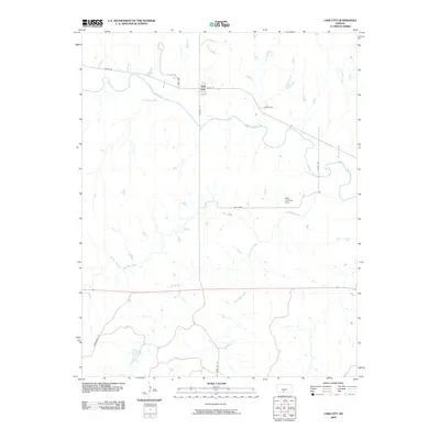 2009 Lake City2009 Print · USGSLake City and the surrounding Barber County prairie are documented here in the early twenty-first century. Researchers can trace the local drainage networks of the Medicine Lodge River and find landmarks like the Mills Landing Strip and Dog Creek.
 - 2009 Map of Sun City NE, 2009 Print
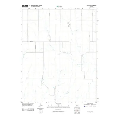 2009 Sun City NE2009 Print · USGSPratt County in the late 2000s remains a landscape defined by its vital watercourses and the rural road grid that connects them. Researchers can trace land ownership patterns along South Elm Creek or locate the MacAdoo Dam and Nw Elm Mills.
 - 2009 Map of Fancy Canyon, 2009 Print
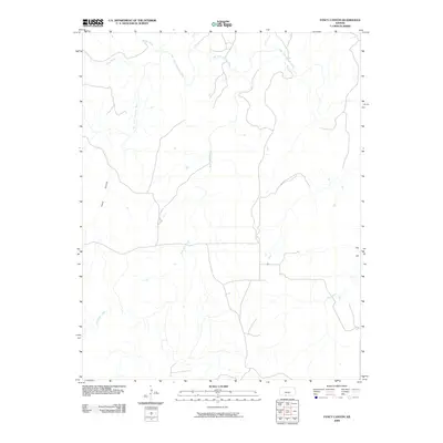 2009 Fancy Canyon2009 Print · USGSComanche County, Kansas, is seen here at the dawn of the new millennium as a landscape defined by its river basins and cattle country. Trace the winding course of the Salt Fork Arkansas River and its tributaries like Red Fork Creek and Fancy Canyon.
 - 2010 Map of Hardtner NW, 2010 Print
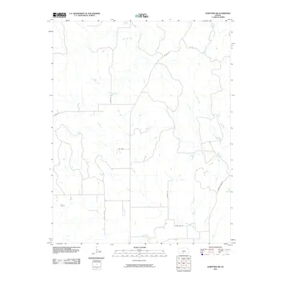 2010 Hardtner NW2010 Print · USGSBarber County in the early twenty-first century remains a landscape of sprawling ranch land and creek drainages. Genealogists and local historians can locate the Lodi Cemetery and trace rural routes like Gyp Hill Rd and the Hardtner Shortcut.
 - 2010 Map of Corwin, 2010 Print
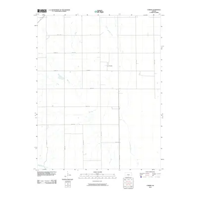 2010 Corwin2010 Print · USGSThe rural landscape of Harper County is captured in this 2010 survey, showcasing the settlement of Corwin and its agricultural surroundings. Researchers can trace the section lines and waterways such as Salty Creek and the Medicine Lodge River.
Showing maps 1-25 of 175
Top cities of Barber County
- Medicine Lodge historical maps
- Kiowa historical maps
- Sharon historical maps
- Hardtner historical maps
- Hazelton historical maps
- Isabel historical maps
See more
Frequently asked questions
- What are the different types of historical maps available for Barber County?
- What is the oldest map of Barber County?
- Where can I purchase historical maps of Barber County for my home or office?
- Where can I download high-res historical maps of Barber County?
- Are there historical topographic maps available for Barber County?
- Is there historical aerial imagery available for Barber County?
- Where are historical maps of Barber County sourced from?