Old Maps of Ottawa, Kansas for Academic Research
Study the evolution of Ottawa with 31 high-resolution historic maps. Whether you're teaching, researching, or modeling changes in land use, these maps provide essential visual documentation of urban, environmental, and geographic change.
- Analyze long-term change: Track patterns in development, transportation, and natural features.
- Ideal for environmental or urban studies: Support academic projects with primary historical map data.
- Use in the classroom or lab: Educators and researchers rely on these maps to bring historical context to life.
These maps are a powerful tool for teaching, research, and visualizing how Ottawa has changed over the decades.
Ottawa, KS maps
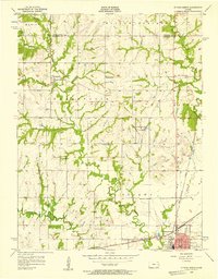
(31)- 1885 Map of Lawrence, 1957 Print
 1885 Lawrence1957 Print · USGSEastern Kansas thrived during the mid-1880s as a vital corridor of rail-driven commerce and river valley agriculture. Genealogists and historians can trace old homesteads near the Kansas River and identify early township centers like Ottawa, Eudora, and Vinland.
 - 1889 Map of Lawrence
 1889 Lawrence1889 Print · USGSEastern Kansas thrived as a rail-and-river hub in the late nineteenth century, as documented in this detailed survey. Genealogists can trace family roots through early settlements like Clinton, Vinland, and Eudora or locate land near the Marais Des Cygnes River.6 unique versions available
 - 1947 Map of Lawrence, 1954 Print
 1947 Lawrence1954 Print · USGSEastern Kansas and western Missouri thrive in the late 1940s, showing a landscape defined by major river valleys and a dense railway network. Genealogists can trace family settlements from Lawrence to Greenwood and locate landmarks like Olathe Navy and Lake Lotawana.
 - 1950 Map of Lawrence
 1950 Lawrence1950 Print · USGSMid-century Kansas and Missouri come alive in this map of the river-valley corridors just as the interstate era was beginning. Researchers can trace the legacy of major rail lines like the Union Pacific RR and locate ancestral roots in towns from Lawrence to Harrisonville.
 - 1956 Map of Ottawa North, 1957 Print
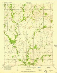
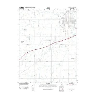
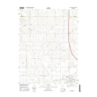
 1956 Ottawa North1957 Print · USGSFranklin County in the mid-fifties shows a landscape of small rural schoolhouses and historic rail junctions. Genealogists can trace family roots through sites like Mt Evergreen Cem, Centropolis, and the Old Indian Boundary line.3 unique versions available
 - 1956 Map of Le Loup, 1957 Print
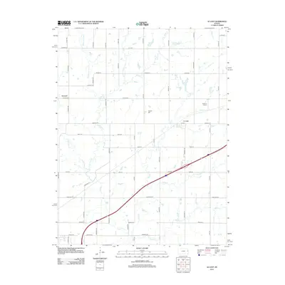
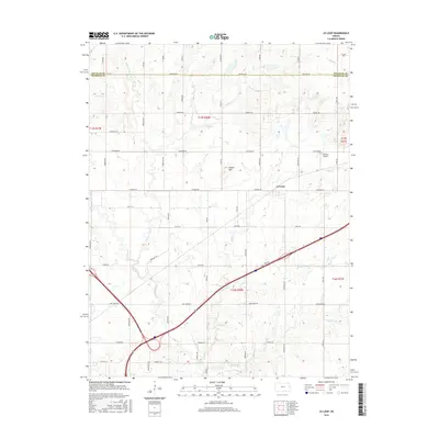
 1956 Le Loup1957 Print · USGSThe rural landscape of Franklin County is captured here in the mid-1950s, where the railroad ties together farming communities and small country schools. Researchers can trace the Old Indian Boundary or locate historic sites like Indian Cem, Tauy Ch, and Le Loup.2 unique versions available
 - 1956 Map of Ottawa South, 1958 Print
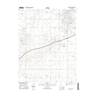
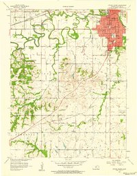 1956 Ottawa South1958 Print · USGSOttawa and the surrounding Franklin County townships are captured here during a period of steady mid-century growth. Genealogists and local historians can trace rural schoolhouses like Valley View Sch, family landmarks such as Wycoff Community Hall, and several burial grounds including Highland Cemetery and Antioch Cem.4 unique versions available
 - 1956 Map of Lawrence, 1967 Print
 1956 Lawrence1967 Print · USGSEastern Kansas and the Missouri border country are captured here during the mid-century transition to the interstate era. Genealogists and local historians can trace family-named terrain like Summers Mound and the footprint of Sunflower Ordnance Works near Baldwin City.4 unique versions available
 - 1961 Map of Lawrence
 1961 Lawrence1961 Print · USGSThe Kansas-Missouri borderland shows its mid-century transition from a rail-dependent agricultural region to a suburbanizing landscape. Genealogists can trace family footprints through numerous Cem sites and distinctive terrain landmarks like Graves Mound and Summers Mound.
 - 1962 Map of Peoria, 1964 Print
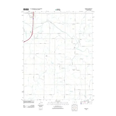
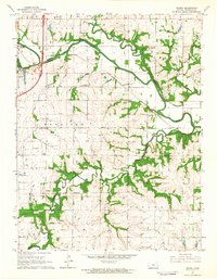 1962 Peoria1964 Print · USGSFranklin County in the early sixties reveals a landscape shaped by the Marais Des Cygnes River and old frontier borders. Genealogists can trace family names through the Peoria Cem, Fouts Cem, and Highland Cem, or locate rural landmarks like the Hawkins Sch.2 unique versions available
 - 1983 Map of Lawrence, 1984 Print
 1983 Lawrence1984 Print · USGSEastern Kansas in the early eighties shows a landscape of growing reservoirs and historic rail towns. Genealogists and historians can trace routes through Topeka and Ottawa, or locate smaller sites like Highland Cem and the settlement of Vassar.
 - 2009 Map of Peoria, 2009 Print
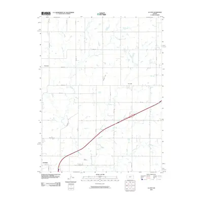
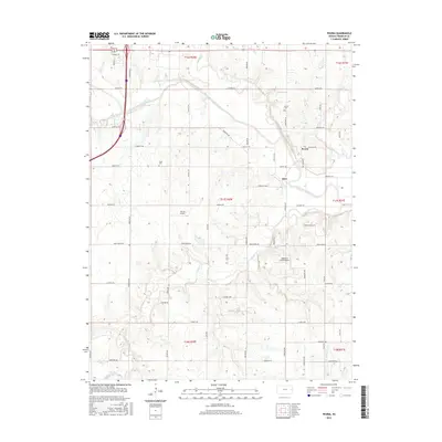
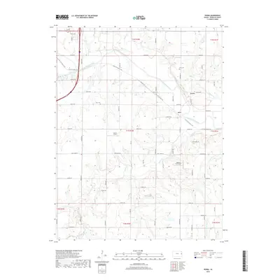
 2009 Peoria2009 Print · USGSCovers Ottawa, including Peoria, Imes, and other nearby areas
 - 2009 Map of Le Loup, 2009 Print
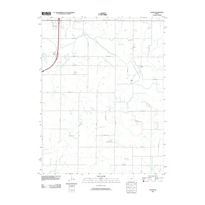
 2009 Le Loup2009 Print · USGSCovers Ottawa, including Le Loup, Nowhere, and other nearby areas
 - 2009 Map of Ottawa North, 2009 Print
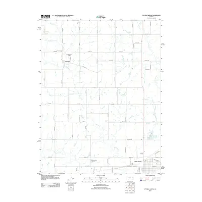
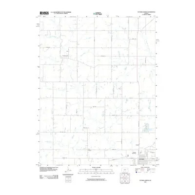 2009 Ottawa North2009 Print · USGSCovers Ottawa, including Centropolis, Douglas County, and other nearby areas
 - 2009 Map of Ottawa South, 2009 Print
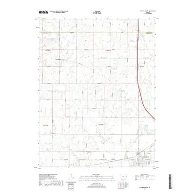
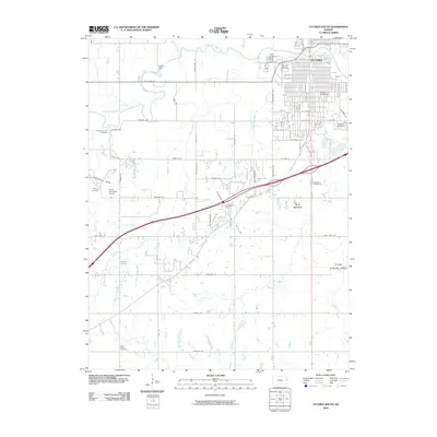 2009 Ottawa South2009 Print · USGSCovers Ottawa, including Franklin County, United States, and other nearby areas
 - 2012 Map of Ottawa North, 2012 Print
 2012 Ottawa North2012 Print · USGSCovers Ottawa, including Centropolis, Douglas County, and other nearby areas
 - 2012 Map of Le Loup, 2012 Print
 2012 Le Loup2012 Print · USGSCovers Ottawa, including Le Loup, Nowhere, and other nearby areas
 - 2012 Map of Ottawa South, 2012 Print
 2012 Ottawa South2012 Print · USGSCovers Ottawa, including Franklin County, United States, and other nearby areas
 - 2012 Map of Peoria, 2012 Print
 2012 Peoria2012 Print · USGSCovers Ottawa, including Peoria, Imes, and other nearby areas
 - 2015 Map of Peoria, 2015 Print
 2015 Peoria2015 Print · USGSCovers Ottawa, including Peoria, Imes, and other nearby areas
 - 2015 Map of Le Loup, 2015 Print
 2015 Le Loup2015 Print · USGSCovers Ottawa, including Le Loup, Nowhere, and other nearby areas
 - 2015 Map of Ottawa South, 2015 Print
 2015 Ottawa South2015 Print · USGSCovers Ottawa, including Franklin County, United States, and other nearby areas
 - 2015 Map of Ottawa North, 2015 Print
 2015 Ottawa North2015 Print · USGSCovers Ottawa, including Centropolis, Douglas County, and other nearby areas
 - 2018 Map of Peoria, 2018 Print
 2018 Peoria2018 Print · USGSCovers Ottawa, including Peoria, Imes, and other nearby areas
 - 2018 Map of Ottawa North, 2018 Print
 2018 Ottawa North2018 Print · USGSCovers Ottawa, including Centropolis, Douglas County, and other nearby areas
Showing maps 1-25 of 31
Top cities near Ottawa
- Baldwin City historical maps
- Edgerton historical maps
- Wellsville historical maps
- Centropolis historical maps
- Stanton historical maps
- Pomona historical maps
See more
Frequently asked questions
- What are the different types of historical maps available for Ottawa?
- What is the oldest map of Ottawa?
- Where can I purchase historical maps of Ottawa for my home or office?
- Where can I download high-res historical maps of Ottawa?
- Are there historical topographic maps available for Ottawa?
- Is there historical aerial imagery available for Ottawa?
- Where are historical maps of Ottawa sourced from?