2000s (21st Century) Maps of Lincoln County, Kansas
Explore 100 historic maps of Lincoln County from the 2000s (21st Century). These maps offer a rare glimpse into what life looked like during the 2000s — showing old roads, neighborhoods, homes, and landmarks that have changed or disappeared over time.
Whether you're researching your family's past, planning a metal detecting trip, or studying how Lincoln County's landscape evolved across the 2000s, these high-resolution maps are a powerful tool for exploring the history of this region.
- Focus on a specific era: All maps on this page are from the 2000s, giving you a focused view of this time period.
- See what’s changed: Compare century-old streets, trails, and buildings to today's modern landscape using overlays and satellite layers.
- Research with precision: Use these maps for genealogy, historical research, land use analysis, or educational projects.
- View, download, or print: Maps are fully viewable online in high resolution, and can be downloaded or printed for your own records.
Start exploring Lincoln County's history through authentic maps from the 2000s. This is your window into the past.
Lincoln County, KS maps
(100)- 2009 Map of Westfall, 2009 Print
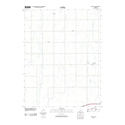 2009 Westfall2009 Print · USGSLincoln County cattle and farm country is captured here during the early twenty-first century as rural life centered on small hubs and creek-side acreage. Genealogists can locate family landmarks such as Hammer Cemetery, Washam Cemetery, and the settlement of Westfall.
 - 2009 Map of Juniata, 2009 Print
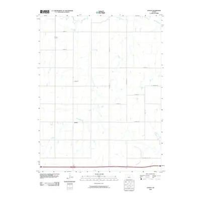 2009 Juniata2009 Print · USGSThis Saline County landscape was recorded just before the 2010s, showing a traditional Kansas farming community centered on Juniata. Researchers can trace old family sites near Monroe Cemetery or follow the winding courses of the Saline River and Table Rock Creek.
 - 2009 Map of Wilson, 2009 Print
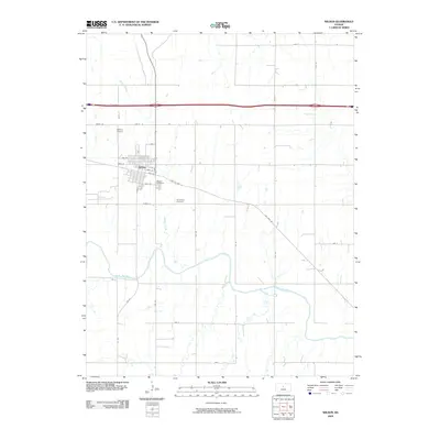 2009 Wilson2009 Print · USGSThe town of Wilson is captured here just as the new millennium's first decade drew to a close, showing the intersection of local life and the prairie. Researchers can trace family sites at the Old Wilson Cemetery or follow the winding course of the Smoky Hill River.
 - 2009 Map of Lincoln NW, 2009 Print
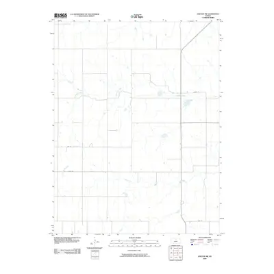 2009 Lincoln NW2009 Print · USGSLincoln County at the end of the first decade of the 21st century remains a landscape of traditional section-line farming and prairie drainage. Genealogists and local historians can trace the exact rural corridors of Yarrow Ln and Sage Dr as they interact with Rattlesnake Creek.
 - 2009 Map of Vesper, 2009 Print
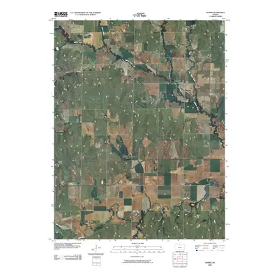 2009 Vesper2009 Print · USGSLincoln County, Kansas, is documented here in the early 2000s, showing a landscape defined by the Saline River and quiet rural settlements. Genealogists can trace family footprints across several sites, including Pottersburg Cemetery, Mission Cemetery, and the town of Vesper.
 - 2009 Map of Tescott, 2009 Print
 2009 Tescott2009 Print · USGSOttawa County communities along the Saline River are documented here during the first decade of the 2000s. Researchers can locate family roots at Twin Hills Cemetery and Price Cemetery or trace the early-century layout of Tescott.
 - 2009 Map of Westfall SE, 2009 Print
 2009 Westfall SE2009 Print · USGSLincoln County prairie land is mapped here during the early 2000s, showing a traditional Kansas grid of rural section roads and creek-cut valleys. Genealogists can locate the Clear Creek Cemetery and trace the drainage of East Elkhorn Creek and Mulberry Creek.
 - 2009 Map of Brookville SW, 2009 Print
 2009 Brookville SW2009 Print · USGSArcola and the surrounding Smoky Hills prairie are captured here in the early twenty-first century. Researchers can locate the Mulberry Cemetery, follow the winding path of Mulberry Creek, and trace the rural grid from Ave C to the Belcher Airport.
 - 2009 Map of Lincoln, 2009 Print
 2009 Lincoln2009 Print · USGSThe Saline River valley in the early 2000s remains a landscape defined by its winding waterways and the established town of Lincoln. Researchers can trace the layout of family sites near Lincoln Cemetery or follow the paths of Spillman Creek and Battle Creek.
 - 2009 Map of Westfall NW, 2009 Print
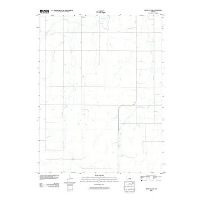 2009 Westfall NW2009 Print · USGSLincoln County at the end of the first decade of the millennium shows a rural landscape shaped by the grid of the High Plains. Genealogists and local historians can locate Heiser Cemetery or trace the winding courses of Bullfoot Creek and West Elkhorn Creek.
 - 2009 Map of Wilson NE, 2009 Print
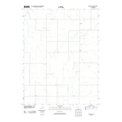 2009 Wilson NE2009 Print · USGSLincoln County, Kansas, is documented here in the early 2000s, showcasing a rural landscape defined by prairie creeks and a vast grid of section roads. Researchers can locate family landmarks such as Emanuels Cemetery, Voss Cemetery, and the settlement of Margaret.
 - 2009 Map of Sylvan Grove, 2009 Print
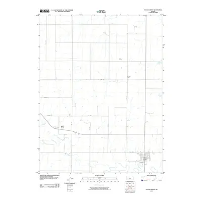 2009 Sylvan Grove2009 Print · USGSSylvan Grove sits at the confluence of prairie and stream in this 2009 study of Lincoln County. Genealogists and local historians can trace family ties at the Rosette Cemetery, locate the rural Rosette Hall, or follow the winding path of Wolf Creek.
 - 2009 Map of Hunter, 2009 Print
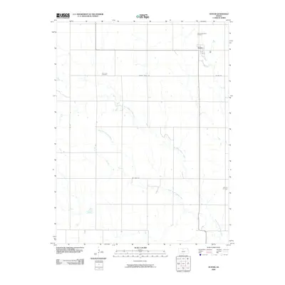 2009 Hunter2009 Print · USGSThe community of Hunter and the surrounding Mitchell County farmstead grid are documented here in the first decade of the 2000s. Genealogists can trace local roots through the Greenwood Union Cemetery, Elm Creek Cemetery, and the paths of North Branch Spillman Creek.
 - 2009 Map of Black Wolf, 2009 Print
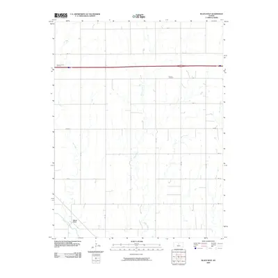 2009 Black Wolf2009 Print · USGSThe rural landscape near the Smoky Hill River is captured here during the first decade of the millennium. Researchers can trace family history at the Fairview Cemetery and Pleasant Valley Cemetery or explore the drainage basins of Buffalo Creek and Cow Creek.
 - 2009 Map of Ash Grove, 2009 Print
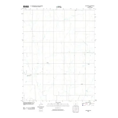 2009 Ash Grove2009 Print · USGSMitchell County farmland is mapped here in the early twenty-first century, showing the enduring rural layout of the Kansas plains. Researchers can locate family sites near Patterson Cemetery or trace the winding course of Trail Creek and Bacon Creek.
 - 2009 Map of Shady Bend, 2009 Print
 2009 Shady Bend2009 Print · USGSThe rural agricultural landscape of Lincoln County in the early 2000s is centered here around the meandering Saline River. Genealogists and local historians can trace family locations near Sunnyside Cemetery or follow the paths of Twelvemile Creek and Beaver Creek through the prairie.
 - 2009 Map of Ada, 2009 Print
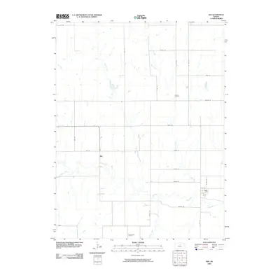 2009 Ada2009 Print · USGSThe rural Ottawa County landscape near the turn of the millennium shows the quiet agricultural settlements of Ada and Milo. Researchers can trace local heritage at the Baldwin Cemetery and follow the paths of Salt Creek and Spring Creek through the prairie.
 - 2010 Map of Barnard, 2010 Print
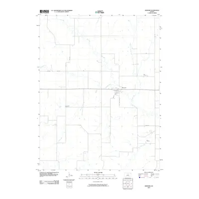 2010 Barnard2010 Print · USGSBarnard and its rural surroundings are captured here at the start of the 2010s, showing a landscape shaped by creek systems and early settlement patterns. Genealogists can locate family sites at Milo Cemetery, Union Valley Cemetery, and Elkhorn Cemetery scattered across the township.
 - 2010 Map of Westfall SW, 2010 Print
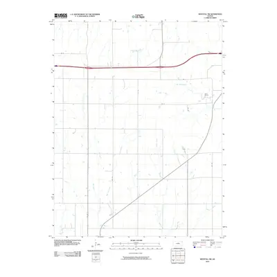 2010 Westfall SW2010 Print · USGSEllsworth County at the start of the twenty-first century reveals a landscape defined by its prairie hydrology and strict section-line grid. Researchers can trace the winding paths of Oak Creek, Spring Creek, and Bens Branch across the rural plains.
 - 2010 Map of Wilson NW, 2010 Print
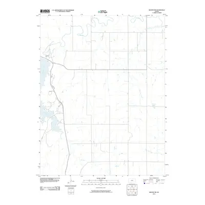 2010 Wilson NW2010 Print · USGSLincoln County at the start of the 2010s shows a landscape shaped by the waters of Wilson Lake and the Saline River. Researchers can trace the development of lakeside communities along Lakeshore Dr and the engineering of the Wilson Dam.
 - 2012 Map of Westfall SE, 2012 Print
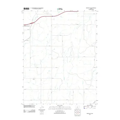 2012 Westfall SE2012 Print · USGSLincoln County farmland and prairie drainages are captured here in the early twenty-first century. Genealogists and historians can locate the Clear Creek Cem and trace the paths of Alum Cr and Table Rock Cr through the section grid.
 - 2012 Map of Westfall NW, 2012 Print
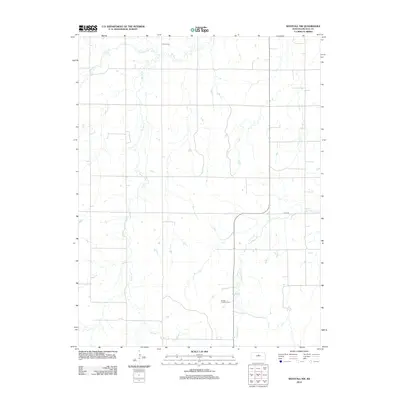 2012 Westfall NW2012 Print · USGSLincoln County agriculture meets modern renewable energy in this rural Kansas landscape during the early 2010s. Genealogists and local historians can locate Heiser Cem or trace the winding waters of Bullfoot Cr and the Smoky Hills Wind Farm.
 - 2012 Map of Wilson, 2012 Print
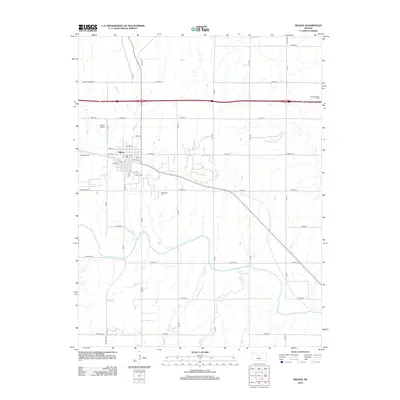 2012 Wilson2012 Print · USGSThe city of Wilson is captured here as a settled Kansas community at the turn of the decade. Researchers can trace local genealogy and land use across sites like Old Wilson Cem, Wilson Airport, and the banks of the Smoky Hill River.
 - 2012 Map of Black Wolf, 2012 Print
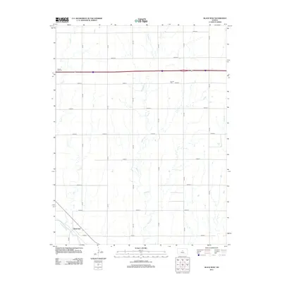 2012 Black Wolf2012 Print · USGSEllsworth County farmland and the banks of the Smoky Hill River are meticulously documented here in the early twenty-first century. Researchers can locate the community of Black Wolf and trace local family history at Pleasant Valley Cem or Fairview Cem.
 - 2012 Map of Wilson NW, 2012 Print
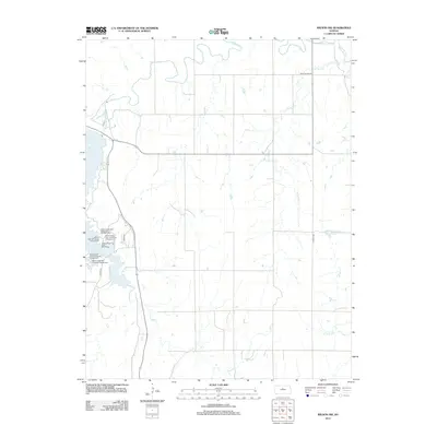 2012 Wilson NW2012 Print · USGSLincoln County’s landscape is defined by the intersection of the prairie and the waters of the Saline River in the early twenty-first century. Researchers can trace the extensive development of Wilson Lake and locate specific sites like the Wilson State Park Boat Ramp and Highland Lake.
Showing maps 1-25 of 100
Top cities of Lincoln County
- Sylvan Grove historical maps
- Beverly historical maps
- Barnard historical maps
- Vesper historical maps
- Grant historical maps
Frequently asked questions
- What are the different types of historical maps available for Lincoln County?
- What is the oldest map of Lincoln County?
- Where can I purchase historical maps of Lincoln County for my home or office?
- Where can I download high-res historical maps of Lincoln County?
- Are there historical topographic maps available for Lincoln County?
- Is there historical aerial imagery available for Lincoln County?
- Where are historical maps of Lincoln County sourced from?