2000s (21st Century) Maps of Evangeline Parish, Louisiana
Explore 101 historic maps of Evangeline Parish from the 2000s (21st Century). These maps offer a rare glimpse into what life looked like during the 2000s — showing old roads, neighborhoods, homes, and landmarks that have changed or disappeared over time.
Whether you're researching your family's past, planning a metal detecting trip, or studying how Evangeline Parish's landscape evolved across the 2000s, these high-resolution maps are a powerful tool for exploring the history of this region.
- Focus on a specific era: All maps on this page are from the 2000s, giving you a focused view of this time period.
- See what’s changed: Compare century-old streets, trails, and buildings to today's modern landscape using overlays and satellite layers.
- Research with precision: Use these maps for genealogy, historical research, land use analysis, or educational projects.
- View, download, or print: Maps are fully viewable online in high resolution, and can be downloaded or printed for your own records.
Start exploring Evangeline Parish's history through authentic maps from the 2000s. This is your window into the past.
Evangeline Parish, LA maps
(101)- 2003 Map of Glenmora, 2005 Print
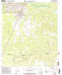 2003 Glenmora2005 Print · USGSThe crossroads of Rapides and Evangeline parishes come into focus at the turn of the twenty-first century. Genealogists can locate family landmarks like Rose Lawn Cem and Science Hill Cem, or trace rural aviation at Angrus Landing Field.
 - 2012 Map of Saint Landry, 2012 Print
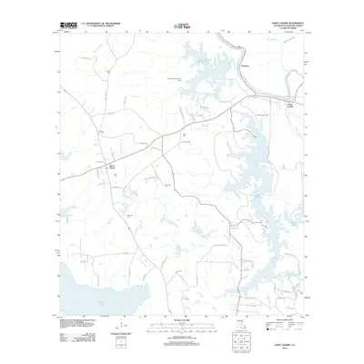 2012 Saint Landry2012 Print · USGSEvangeline Parish is documented here in the early 2010s, showcasing a landscape defined by the expansive waters of Lake Chicot and Millers Lake. Genealogists and local historians can locate several rural burial grounds, such as Clark Cem and Murdock Cem, along with the settlements of Bayou Chicot and Saint Landry.
 - 2012 Map of Elton, 2012 Print
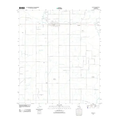 2012 Elton2012 Print · USGSJefferson Davis Parish was a landscape of energy and agriculture during the early twenty-first century. Researchers can trace the layout of Elton and China or locate burial sites like Liberty Cem and Chretien Cem amidst the sprawling West Tepetate Oil and Gas Field.
 - 2012 Map of Glenmora, 2012 Print
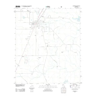 2012 Glenmora2012 Print · USGSLouisiana's timber and oil country comes into focus in this early twenty-first-century survey of Glenmora. Trace family roots at Rose Lawn Cem and Johnson Cem, or explore local landmarks like Andrus Landing Field and the Glenmora Oil and Gas Field.
 - 2012 Map of Bond, 2012 Print
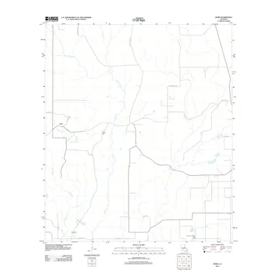 2012 Bond2012 Print · USGSBond and the wetlands of Allen Parish are captured here during the early twenty-first century as a landscape of rural roads and resource extraction. Researchers can locate family burial sites at Caney Creek Cem or trace the Grand Louis Bayou Oil Field.
 - 2012 Map of Beaver, 2012 Print
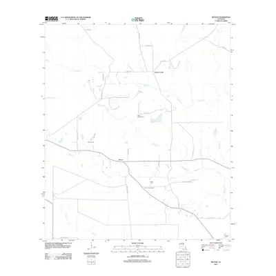 2012 Beaver2012 Print · USGSAllen Parish at the start of the decade reveals a landscape where aviation and wetlands meet. Trace rural lineage and local landmarks through the Beaver Cem, the Beaver Lookout Tower, and the uniquely named Burned Down Rd.
 - 2012 Map of Tate Cove, 2012 Print
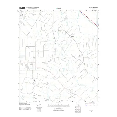 2012 Tate Cove2012 Print · USGSEvangeline Parish at the start of the 2010s reveals a landscape shaped by rural coves and intricate bayou systems. Local historians can trace family roots through numerous burial sites like Old Grand Prairie Cem and Young Cem, alongside the area's Gas Field and small aviation strips.
 - 2012 Map of Ville Platte, 2012 Print
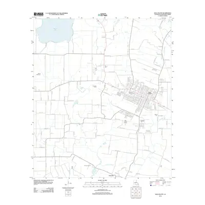 2012 Ville Platte2012 Print · USGSEvangeline Parish at the start of the 2010s shows a landscape where the civic center of Ville Platte meets the energy and agricultural lands of the bayou country. Researchers can trace family sites at Te Mamou Cem, find the local Point Blue Gas Field, or locate Ville Platte High School.
 - 2012 Map of Duralde, 2012 Print
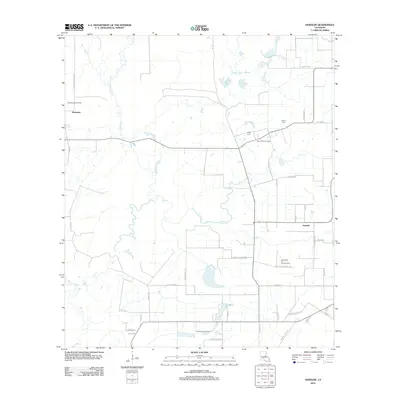 2012 Duralde2012 Print · USGSThe rural prairies of Allen Parish are seen here during the early twenty-first century, characterized by a mix of agricultural life and energy production. Genealogists and local historians can locate family burial sites at Cezar Cem and Veillon Cem or trace the development of the North Basile Oil Field.
 - 2012 Map of Pine Prairie, 2012 Print
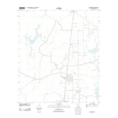 2012 Pine Prairie2012 Print · USGSEvangeline Parish at the start of the 2010s reveals a landscape of quiet settlements and winding waterways. Genealogists can locate several family-named landmarks including Dehany Cem, Johnson Cem, and the community of Easton.
 - 2012 Map of Whiteville, 2012 Print
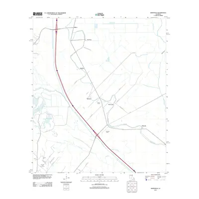 2012 Whiteville2012 Print · USGSThe St. Landry Parish landscape is defined by the massive Bayou Boeuf-Cocodrie Diversion Channel as it appeared in the early 2010s. Researchers can trace the legacy of rural settlements at Whiteville and Gold Dust or locate family sites near Fontenot Cemetery.
 - 2012 Map of Basile, 2012 Print
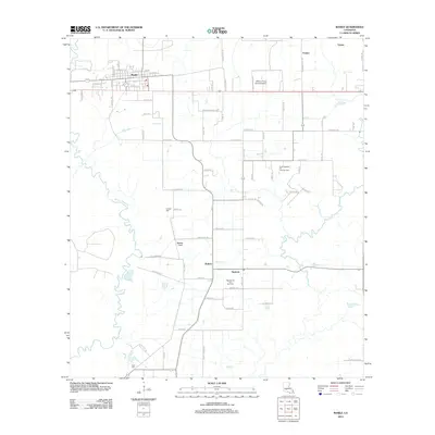 2012 Basile2012 Print · USGSEvangeline Parish at the start of the 2010s shows a landscape of prairie towns and energy production. Researchers can trace family history at Langley Cem and Reed Cem or explore the footprints of the Tepetate Oil and Gas Field and North Tepetate Oil and Gas Field.
 - 2012 Map of Cocodrie Lake, 2012 Print
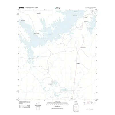 2012 Cocodrie Lake2012 Print · USGSEvangeline Parish at the start of the 2010s shows a landscape defined by the intricate waterways of Cocodrie Lake. Genealogists and local historians can trace family locations near Clearwater, Meridian, and Oak Grove Cemetery.
 - 2012 Map of Lawtell, 2012 Print
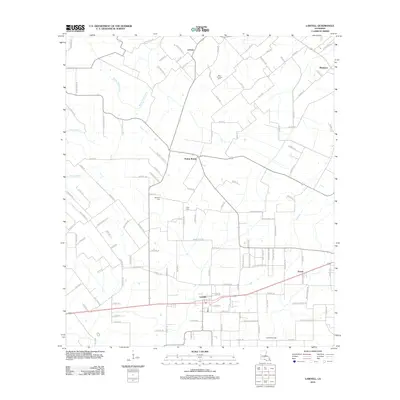 2012 Lawtell2012 Print · USGSSt. Landry Parish is captured in the early 21st century, showcasing a landscape of rural settlements and winding bayous. Genealogists and historians can trace local landmarks like Saint Andrews Cem, Lawtell Gas Field, and the community of Prairie Ronde.
 - 2012 Map of Eunice South, 2012 Print
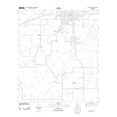 2012 Eunice South2012 Print · USGSSt. Landry Parish transitions from the residential streets of Eunice to the surrounding oil fields and prairies in the early 2000s. Genealogists and historians can trace family-named sites like Frey, Mowata Cem, and the Riche Oil and Gas Field.
 - 2012 Map of Bunkie, 2012 Print
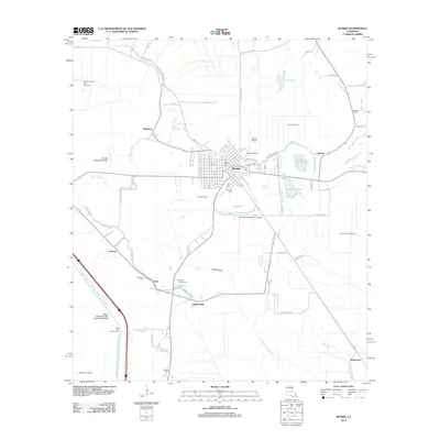 2012 Bunkie2012 Print · USGSBunkie and its surrounding bayous are captured here during a period of active oil and gas extraction in central Louisiana. Genealogists can locate several family and community burial sites like Hatfield Cem and Fogleman Cem alongside landmarks like Mixon Airport.
 - 2012 Map of Chataignier, 2012 Print
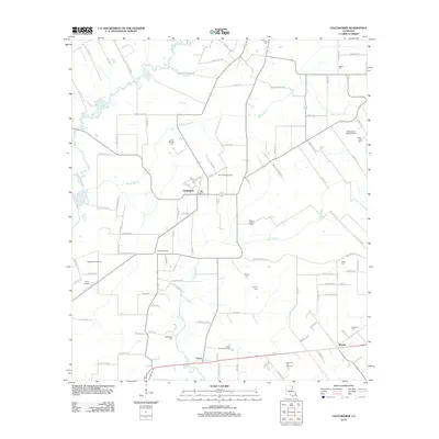 2012 Chataignier2012 Print · USGSCentral Evangeline Parish comes into focus during the early twenty-first century, showing a landscape of bayous and oil fields. Genealogists can locate family-named sites like Leon Manuel Cem and Fontenot Cem near the town of Chataignier.
 - 2012 Map of Lone Pine, 2012 Print
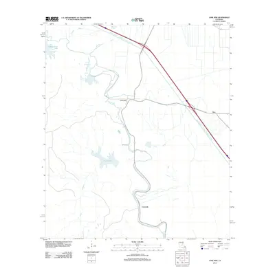 2012 Lone Pine2012 Print · USGSLouisiana's Avoyelles Parish lowlands come into sharp focus in the early twenty-first century, showing a landscape defined by water management. You can trace the engineering of the Bayou Boeuf - Cocodrie Diversion Channel and find local landmarks like Lone Pine and Johnson Cem.
 - 2012 Map of Eunice North, 2012 Print
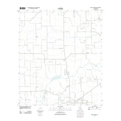 2012 Eunice North2012 Print · USGSSt. Landry Parish in the early twenty-first century reveals a landscape shaped by petroleum and deep-rooted family ties. Researchers can trace land tracts near Bayou Des Cannes and locate ancestral burial sites at Miller and Guillory.
 - 2012 Map of Lecompte, 2012 Print
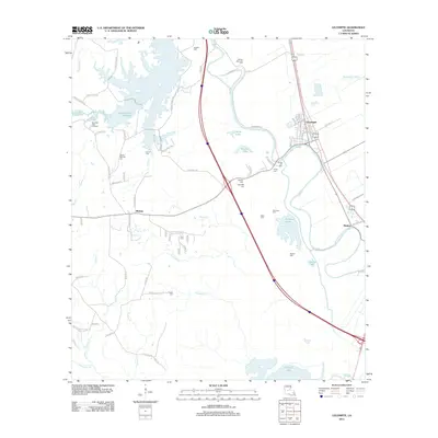 2012 Lecompte2012 Print · USGSRapides Parish in the early 2010s shows a landscape of bayous and reservoirs surrounding the town of Lecompte. Genealogists can locate numerous local burial sites like Spring Hill Cem and Paul Cem, while mapping the banks of Bayou Boeuf.
 - 2012 Map of Mamou, 2012 Print
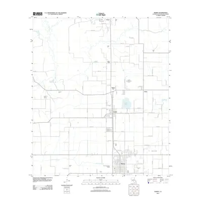 2012 Mamou2012 Print · USGSEvangeline Parish is captured here during a time of modern industrial and agricultural stability. Genealogists can locate numerous burial sites like Saint Anns Cem and Platin Cem, while tracing the footprints of Reddell and Gray Point.
 - 2015 Map of Lecompte, 2015 Print
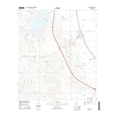 2015 Lecompte2015 Print · USGSIn this modern look at central Louisiana, the agricultural corridor of Lecompte and Meeker is mapped in detail. Genealogists and historians can trace numerous family burial grounds including Ballard Cem, Pisgah Cem, and Wilmer Memorial Cem.
 - 2015 Map of Bond, 2015 Print
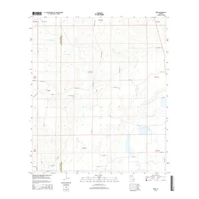 2015 Bond2015 Print · USGSThe borderlands of Allen and Evangeline Parishes are captured here in the mid-2010s, showcasing the rural crossroads of Bond and its surrounding creek systems. Genealogists can trace family landmarks like Caney Creek Cem, Duplechien Cem, and roads such as Savoie Rd.
 - 2015 Map of Beaver, 2015 Print
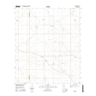 2015 Beaver2015 Print · USGSThe rural border of Allen and Evangeline Parishes is captured here in the mid-2010s, centered on the settlement of Beaver. Genealogists and historians can trace local family landmarks such as Pecan Grove Cem, Beaver Cem, and the uniquely named Burned Down Rd.
 - 2015 Map of Mamou, 2015 Print
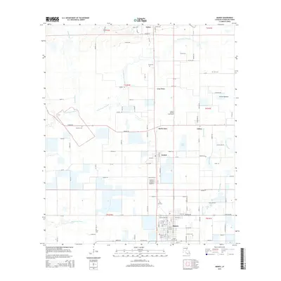 2015 Mamou2015 Print · USGSLouisiana's Evangeline Parish comes into focus in the mid-2010s, centered on the agricultural town of Mamou. Genealogists and historians can trace numerous burial grounds and rural settlements, including Saint Anns Cem, Reddell, and Barber Spur.
Showing maps 1-25 of 101
Top cities of Evangeline Parish
- Ville Platte historical maps
- Mamou historical maps
- Basile historical maps
- Pine Prairie historical maps
- Chataignier historical maps
- Turkey Creek historical maps
Frequently asked questions
- What are the different types of historical maps available for Evangeline Parish?
- What is the oldest map of Evangeline Parish?
- Where can I purchase historical maps of Evangeline Parish for my home or office?
- Where can I download high-res historical maps of Evangeline Parish?
- Are there historical topographic maps available for Evangeline Parish?
- Is there historical aerial imagery available for Evangeline Parish?
- Where are historical maps of Evangeline Parish sourced from?