2020s Maps of Iberia Parish, Louisiana
Explore 55 historic maps of Iberia Parish from the 2020s. These maps offer a rare glimpse into what life looked like during the 2020s — showing old roads, neighborhoods, homes, and landmarks that have changed or disappeared over time.
Whether you're researching your family's past, planning a metal detecting trip, or studying how Iberia Parish's landscape evolved across the 2020s, these high-resolution maps are a powerful tool for exploring the history of this region.
- Focus on a specific era: All maps on this page are from the 2020s, giving you a focused view of this time period.
- See what’s changed: Compare century-old streets, trails, and buildings to today's modern landscape using overlays and satellite layers.
- Research with precision: Use these maps for genealogy, historical research, land use analysis, or educational projects.
- View, download, or print: Maps are fully viewable online in high resolution, and can be downloaded or printed for your own records.
Start exploring Iberia Parish's history through authentic maps from the 2020s. This is your window into the past.
Iberia Parish, LA maps
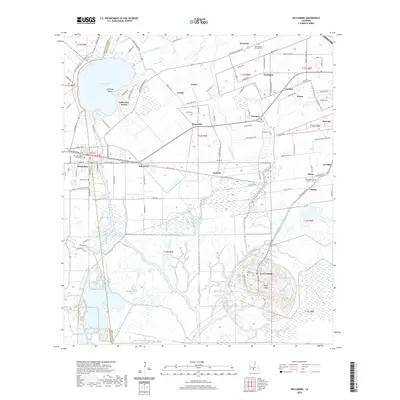
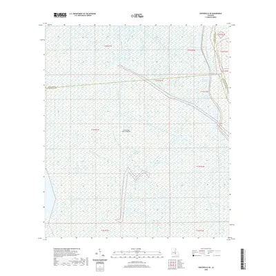
(55)- 2020 Map of Hell Hole Bayou, 2020 Print
 2020 Hell Hole Bayou2020 Print · USGSCovers Iberia Parish, including Vermilion Parish, United States, and other nearby areas
 - 2020 Map of Youngsville, 2020 Print
 2020 Youngsville2020 Print · USGSCovers Iberia Parish, including Youngsville, Duchamp, and other nearby areas
 - 2020 Map of Weeks, 2020 Print
 2020 Weeks2020 Print · USGSCovers Iberia Parish, including Alice B, Cypremort, and other nearby areas
 - 2020 Map of Jeanerette, 2020 Print
 2020 Jeanerette2020 Print · USGSCovers Iberia Parish, including Jeanerette, Marguerite, and other nearby areas
 - 2020 Map of Bayou Lucien, 2020 Print
 2020 Bayou Lucien2020 Print · USGSCovers Iberia Parish, including Vermilion Parish, United States, and other nearby areas
 - 2020 Map of Delcambre, 2020 Print
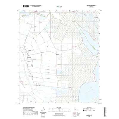
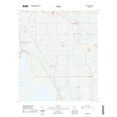
 2020 Delcambre2020 Print · USGSCovers Iberia Parish, including Derouen, Emma, and other nearby areas
 - 2020 Map of Hammock Lake, 2020 Print
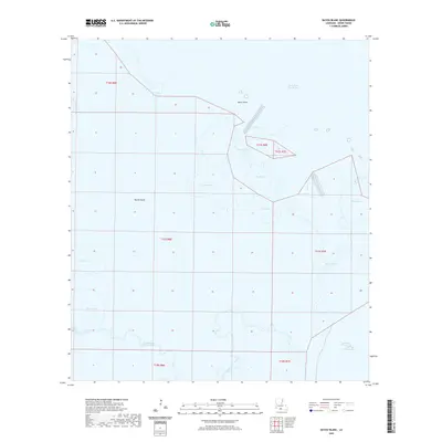
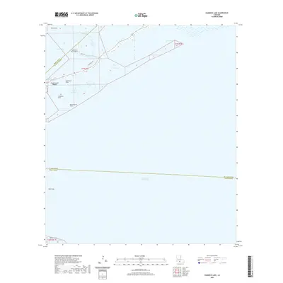 2020 Hammock Lake2020 Print · USGSCovers Iberia Parish, including Cypremort Point, St. Mary Parish, and other nearby areas
 - 2020 Map of Tigre Lagoon, 2020 Print
 2020 Tigre Lagoon2020 Print · USGSCovers Iberia Parish, including Vermilion Parish, United States, and other nearby areas
 - 2020 Map of Marone Point, 2020 Print
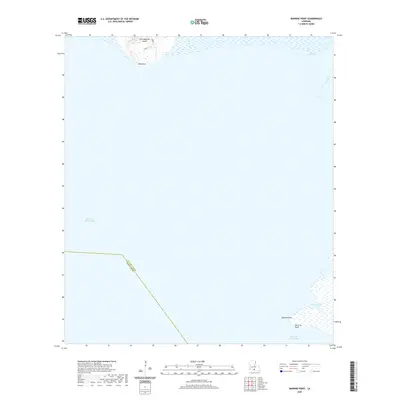 2020 Marone Point2020 Print · USGSCovers Iberia Parish, including Cote Blanche Landing, St. Mary Parish, and other nearby areas
 - 2020 Map of Mound Point, 2020 Print
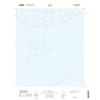 2020 Mound Point2020 Print · USGSCovers Iberia Parish, including United States, Louisiana, and other nearby areas
 - 2020 Map of Charenton, 2020 Print
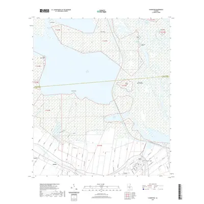 2020 Charenton2020 Print · USGSCovers Iberia Parish, including Charenton, Sorrel, and other nearby areas
 - 2020 Map of Lake Point, 2020 Print
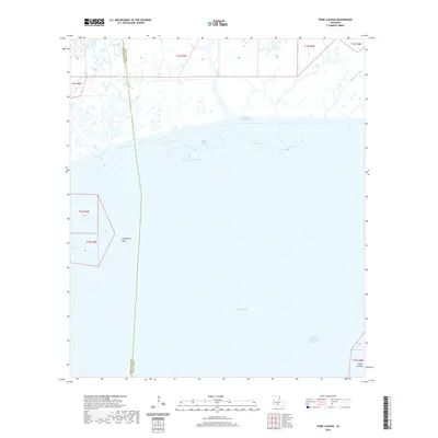
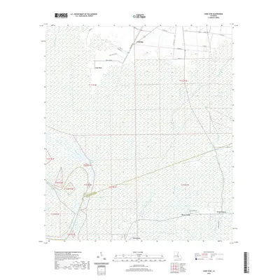
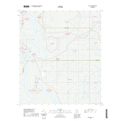
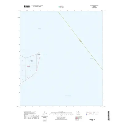 2020 Lake Point2020 Print · USGSCovers Iberia Parish, including St. Mary Parish, United States, and other nearby areas
 - 2020 Map of Point Chevreuil, 2020 Print
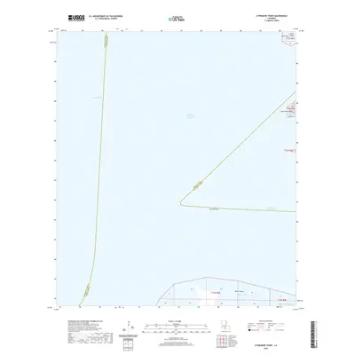
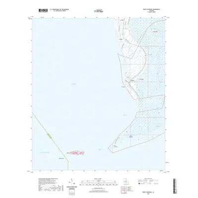 2020 Point Chevreuil2020 Print · USGSCovers Iberia Parish, including Burns, Gordy, and other nearby areas
 - 2020 Map of Centerville NE, 2020 Print
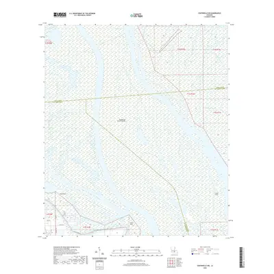
 2020 Centerville NE2020 Print · USGSCovers Iberia Parish, including Saint Martin Parish, Assumption Parish, and other nearby areas
 - 2020 Map of Bayou Blanc, 2020 Print
 2020 Bayou Blanc2020 Print · USGSCovers Iberia Parish, including United States, Louisiana, and other nearby areas
 - 2020 Map of Lone Star, 2020 Print
 2020 Lone Star2020 Print · USGSCovers Iberia Parish, including Lone Star, Grand Bayou, and other nearby areas
 - 2020 Map of Cypremort Point, 2020 Print
 2020 Cypremort Point2020 Print · USGSCovers Iberia Parish, including Vermilion Parish, St. Mary Parish, and other nearby areas
 - 2020 Map of New Iberia North, 2020 Print
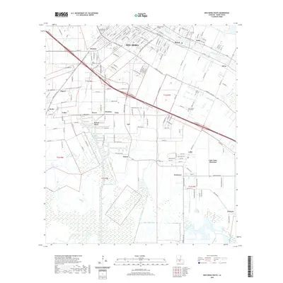
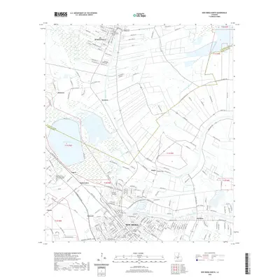 2020 New Iberia North2020 Print · USGSCovers Iberia Parish, including New Iberia, Independent, and other nearby areas
 - 2020 Map of Loreauville, 2020 Print
 2020 Loreauville2020 Print · USGSCovers Iberia Parish, including Loreauville, Dauterive Landing, and other nearby areas
 - 2020 Map of Kemper, 2020 Print
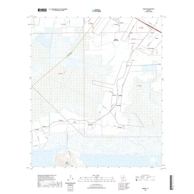 2020 Kemper2020 Print · USGSCovers Iberia Parish, including Bonvillain, Julien, and other nearby areas
 - 2020 Map of Centerville NW, 2020 Print
 2020 Centerville NW2020 Print · USGSCovers Iberia Parish, including Saint Martin Parish, St. Mary Parish, and other nearby areas
 - 2020 Map of New Iberia South, 2020 Print
 2020 New Iberia South2020 Print · USGSCovers Iberia Parish, including New Iberia, Olivier, and other nearby areas
 - 2020 Map of Jackass Bay, 2020 Print
 2020 Jackass Bay2020 Print · USGSCovers Iberia Parish, including Saint Martin Parish, United States, and other nearby areas
 - 2020 Map of Lake Chicot, 2020 Print
 2020 Lake Chicot2020 Print · USGSCovers Iberia Parish, including Saint Martin Parish, Iberville Parish, and other nearby areas
 - 2020 Map of Pigeon, 2020 Print
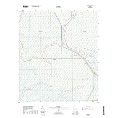 2020 Pigeon2020 Print · USGSCovers Iberia Parish, including Pigeon, Saint Martin Parish, and other nearby areas
Showing maps 1-25 of 55
Top cities of Iberia Parish
Frequently asked questions
- What are the different types of historical maps available for Iberia Parish?
- What is the oldest map of Iberia Parish?
- Where can I purchase historical maps of Iberia Parish for my home or office?
- Where can I download high-res historical maps of Iberia Parish?
- Are there historical topographic maps available for Iberia Parish?
- Is there historical aerial imagery available for Iberia Parish?
- Where are historical maps of Iberia Parish sourced from?