2010s Maps of Iberia Parish, Louisiana
Explore 75 historic maps of Iberia Parish from the 2010s. These maps offer a rare glimpse into what life looked like during the 2010s — showing old roads, neighborhoods, homes, and landmarks that have changed or disappeared over time.
Whether you're researching your family's past, planning a metal detecting trip, or studying how Iberia Parish's landscape evolved across the 2010s, these high-resolution maps are a powerful tool for exploring the history of this region.
- Focus on a specific era: All maps on this page are from the 2010s, giving you a focused view of this time period.
- See what’s changed: Compare century-old streets, trails, and buildings to today's modern landscape using overlays and satellite layers.
- Research with precision: Use these maps for genealogy, historical research, land use analysis, or educational projects.
- View, download, or print: Maps are fully viewable online in high resolution, and can be downloaded or printed for your own records.
Start exploring Iberia Parish's history through authentic maps from the 2010s. This is your window into the past.
Iberia Parish, LA maps
(75)- 2012 Map of Hell Hole Bayou, 2012 Print
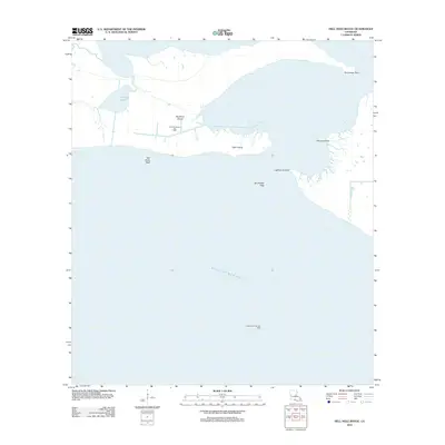 2012 Hell Hole Bayou2012 Print · USGSCoastal Iberia Parish in the early 2010s reveals a shifting landscape of marshland and industrial energy sites. Researchers can locate named landmarks like Deadman Island and Lighthouse Point, or trace the infrastructure of the Hell Hole Bayou Gas Field.
 - 2012 Map of Weeks, 2012 Print
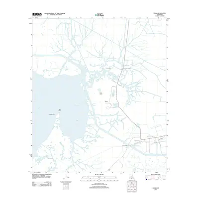 2012 Weeks2012 Print · USGSCoastal Louisiana at the start of the 2010s reveals a landscape of industrial extraction and marshland navigation. Genealogists and researchers can locate family sites like Ewing Cem and trace the infrastructure of the Weeks Island Oil and Gas Field or the Port of West Saint Mary.
 - 2012 Map of Centerville NE, 2012 Print
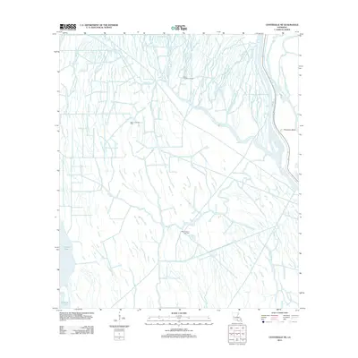 2012 Centerville NE2012 Print · USGSCoastal Louisiana at the start of the 2010s reveals a landscape where deep-water bayous meet industrial energy production. Researchers can trace the water-bound geography of Population Bend and explore the locations of the Bayou Postillion Oil Field and Keelboat Pass.
 - 2012 Map of New Iberia South, 2012 Print
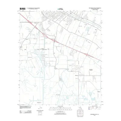 2012 New Iberia South2012 Print · USGSIberia Parish at the start of the 2010s shows a landscape defined by Bayou Teche and the enduring legacy of sugar country. Trace local history through the Little Valley Plantation, the Port of Iberia, and settlements like Lydia or Duboin.
 - 2012 Map of Mound Point, 2012 Print
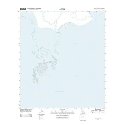 2012 Mound Point2012 Print · USGSCoastal Iberia Parish is captured in the early twenty-first century, showing the fragile marshlands where Louisiana meets the sea. Researchers can trace the shifting outlines of Shell Keys and the tidal points of Mound Point and South Point.
 - 2012 Map of Tigre Lagoon, 2012 Print
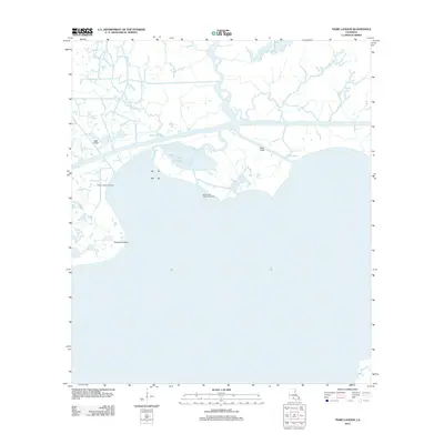 2012 Tigre Lagoon2012 Print · USGSThe Iberia Parish coast in the early 2010s reveals a workspace of marshland and maritime industry where the bayous meet the sea. You can trace the development of energy sites like the Bayou Hebert Gas Field and the flow of Oaks Canal into Vermilion Bay.
 - 2012 Map of Hammock Lake, 2012 Print
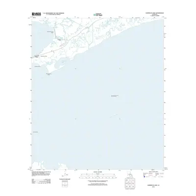 2012 Hammock Lake2012 Print · USGSThe Louisiana coast at Cypremort Point comes into focus in the early 2010s, showing a landscape defined by marsh, bayou, and offshore industry. Trace the local geography from Cypremort Point Beach to the West Cote Blanche Bay Oil and Gas Field.
 - 2012 Map of Jeanerette, 2012 Print
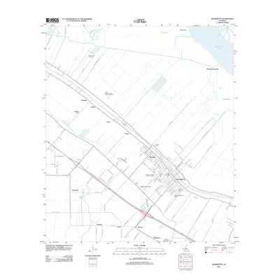 2012 Jeanerette2012 Print · USGSLouisiana's Iberia Parish is shown here during a period of industrial and agricultural coordination along the historic Bayou Teche. Researchers can locate several burial sites including Boynton Cem and Mount Calvary Cem, alongside regional markers like Bourgeois Landing.
 - 2012 Map of Cypremort Point, 2012 Print
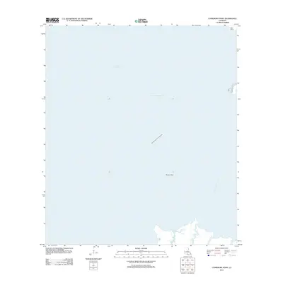 2012 Cypremort Point2012 Print · USGSThe Iberia Parish coastline comes into focus during the early 2010s, showing a landscape defined by both maritime transit and energy extraction. Researchers can trace the path of the Acadiana Navigation Channel and locate the Vermilion Bay Oil and Gas Field and Terrapin Reef.
 - 2012 Map of Kemper, 2012 Print
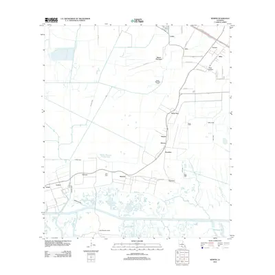 2012 Kemper2012 Print · USGSCoastal Louisiana at the start of the twenty-first century reveals a landscape shaped by water and tradition. You can trace the historic layout of Kilgore Plantation, locate Saint Helens Cem, and follow the canals connecting Home Place to Glencoe.
 - 2012 Map of Lake Point, 2012 Print
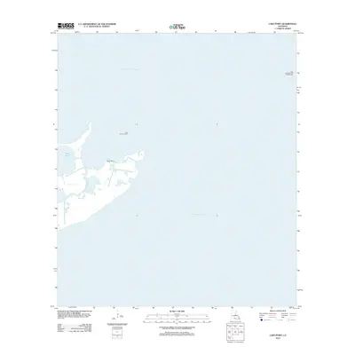 2012 Lake Point2012 Print · USGSCoastal Iberia Parish is shown at a time of significant industrial activity within its marshy inlets and expansive bays. Researchers can trace the footprint of the energy sector through the Lake Sand Gas Field and landmarks like Lake Point and E Pass.
 - 2012 Map of Bayou Lucien, 2012 Print
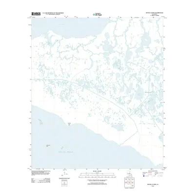 2012 Bayou Lucien2012 Print · USGSThe Iberia Parish coastline at the start of the twenty-first century reveals a delicate landscape of tidal marsh and industry. Researchers can trace the layout of the Lake Ferme Gas Field or locate landmarks like Grosse Isle Point and Lucien Lake.
 - 2012 Map of Delcambre, 2012 Print
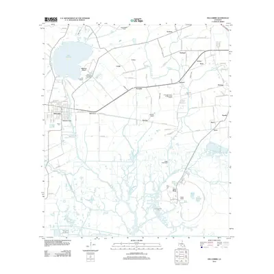 2012 Delcambre2012 Print · USGSCoastal Iberia Parish and its famous salt domes are mapped here in the early twenty-first century. Genealogists and historians can locate family burial sites at Broussard Cem and Avery Island Cem, or trace industrial roots at the Jefferson Island Oil and Gas Field.
 - 2012 Map of Centerville NW, 2012 Print
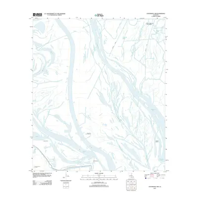 2012 Centerville NW2012 Print · USGSIberia Parish enters the second decade of the millennium as a landscape of energy extraction and winding waterways. Researchers can trace the industrial footprint of the Myette Point Oil and Gas Field and the flow of the Keelboat Pass.
 - 2012 Map of Charenton, 2012 Print
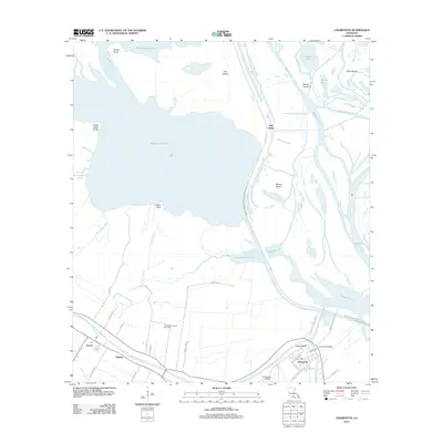 2012 Charenton2012 Print · USGSSt. Mary Parish at the edge of the Atchafalaya Basin shows a landscape shaped by water and sugarcane history in the early 21st century. Trace local family roots along Bayou Teche near Charenton or explore the waterways of Bird Island Chute.
 - 2012 Map of Bayou Blanc, 2012 Print
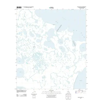 2012 Bayou Blanc2012 Print · USGSIberia Parish's coastal wetlands are captured here in the early twenty-first century as a labyrinth of bayous and marshes. Local researchers can trace the intricate waterways and named features like Marsh Island, Worm Point, and Lake Tom.
 - 2012 Map of Point Chevreuil, 2012 Print
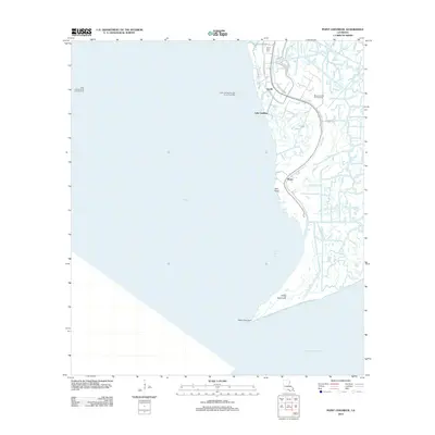 2012 Point Chevreuil2012 Print · USGSCoastal St. Mary Parish is shown here in the early 2010s, defined by its intricate network of bayous and petroleum infrastructure. Genealogists and local historians can trace the roads around Burns and Gordy or locate the South Bend Cem near Oyster Bayou.
 - 2012 Map of Loreauville, 2012 Print
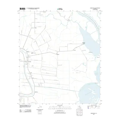 2012 Loreauville2012 Print · USGSCoastal Louisiana at the start of the twenty-first century reveals a landscape defined by the winding Bayou Teche and its surrounding communities. Researchers can trace family-named roads and established settlements such as Loreauville, Belle Place, and Dauterive Landing.
 - 2012 Map of Pigeon, 2012 Print
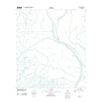 2012 Pigeon2012 Print · USGSIberville Parish waterways and energy fields are shown in great detail during the early 2010s. Genealogists and researchers can trace the settlement of Pigeon and locate industrial landmarks like the North Bayou Pigeon Oil Field and Pumpkin Point.
 - 2012 Map of Lake Chicot, 2012 Print
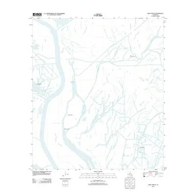 2012 Lake Chicot2012 Print · USGSIberia Parish's deep wetlands and industrial waterways are captured here during the early twenty-first century. Researchers can trace the intersection of the energy economy and natural hydrology through sites like the Lake Chicot Oil and Gas Field and navigation routes along Chicot Pass and Indigo Bayou.
 - 2012 Map of Lone Star, 2012 Print
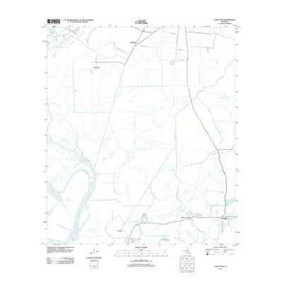 2012 Lone Star2012 Print · USGSCoastal Iberville Parish in the early 2010s is a landscape of energy production and deep-rooted bayou settlements. Genealogists and researchers can trace local family lands along Trabeaux Ln or explore the marshy reaches of Lake Natchez and the Natchez Bay Gas Field.
 - 2012 Map of New Iberia North, 2012 Print
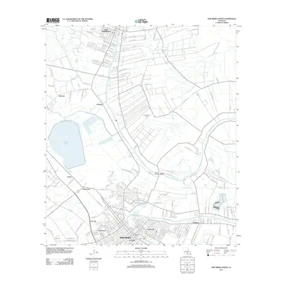 2012 New Iberia North2012 Print · USGSCajun country along the Bayou Teche is captured here during the early twenty-first century, spanning from Saint Martinville to New Iberia. Researchers can trace local neighborhoods and landmarks like the Gerbent Oak, the community of Morbihan, and the historic Duperier Bridge.
 - 2012 Map of Jackass Bay, 2012 Print
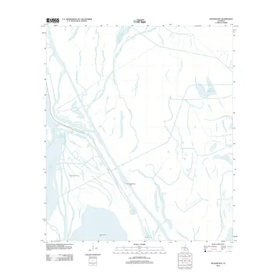 2012 Jackass Bay2012 Print · USGSIberia Parish's deep-swamp landscape is captured here in the early twenty-first century, showing a transition between wild bayous and industrial energy fields. Researchers can trace the water-bound geography of the Fausse Pointe Oil Field or the unique name of Four Hundred Dollar Bayou.
 - 2012 Map of Youngsville, 2012 Print
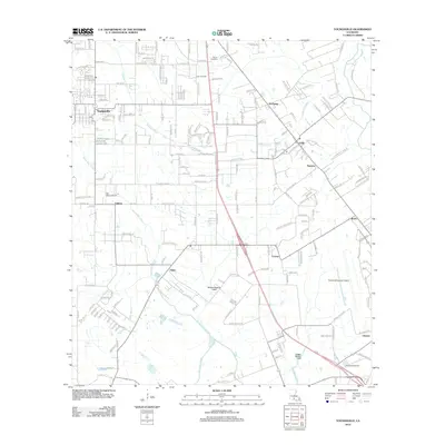 2012 Youngsville2012 Print · USGSThe growing Cajun Heartland of Lafayette Parish is shown here in the early 2010s as traditional agriculture meets modern expansion. Researchers can trace the legacy of family-named settlements like Lozes, Romero, and Duchamp alongside landmarks like the Zoo of Acadiana.
 - 2012 Map of Marone Point, 2012 Print
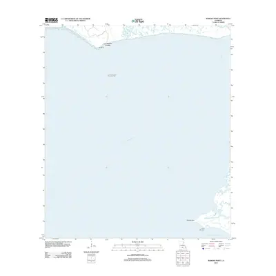 2012 Marone Point2012 Print · USGSThe Louisiana coast in the early twenty-first century is defined here by its intersection of marshland and maritime industry. Researchers can trace the shoreline from Cote Blanche Landing to the energy infrastructure of the Cote Blanche Island Oil and Gas Field.
Showing maps 1-25 of 75
Top cities of Iberia Parish
Frequently asked questions
- What are the different types of historical maps available for Iberia Parish?
- What is the oldest map of Iberia Parish?
- Where can I purchase historical maps of Iberia Parish for my home or office?
- Where can I download high-res historical maps of Iberia Parish?
- Are there historical topographic maps available for Iberia Parish?
- Is there historical aerial imagery available for Iberia Parish?
- Where are historical maps of Iberia Parish sourced from?