2000s (21st Century) Maps of St. Tammany Parish, Louisiana
Explore 146 historic maps of St. Tammany Parish from the 2000s (21st Century). These maps offer a rare glimpse into what life looked like during the 2000s — showing old roads, neighborhoods, homes, and landmarks that have changed or disappeared over time.
Whether you're researching your family's past, planning a metal detecting trip, or studying how St. Tammany Parish's landscape evolved across the 2000s, these high-resolution maps are a powerful tool for exploring the history of this region.
- Focus on a specific era: All maps on this page are from the 2000s, giving you a focused view of this time period.
- See what’s changed: Compare century-old streets, trails, and buildings to today's modern landscape using overlays and satellite layers.
- Research with precision: Use these maps for genealogy, historical research, land use analysis, or educational projects.
- View, download, or print: Maps are fully viewable online in high resolution, and can be downloaded or printed for your own records.
Start exploring St. Tammany Parish's history through authentic maps from the 2000s. This is your window into the past.
St. Tammany Parish, LA maps
(146)- 2012 Map of South Point, 2012 Print
 2012 South Point2012 Print · USGSCoastal Orleans Parish is captured here in the early twenty-first century, showing the critical water and energy infrastructure of the Gulf Coast. Researchers can trace the shoreline between South Point and Point du Chien or locate the offshore Big Point Gas Field.
 - 2012 Map of Hickory, 2012 Print
 2012 Hickory2012 Print · USGSSt. Tammany Parish at the turn of the decade is shown here as a landscape defined by the W Pearl River and its intricate bayous. Researchers can trace family roots at Hickory Cem or Charter Oak Cem, and locate landmarks like the Hickory Lookout Tower.
 - 2012 Map of Sun, 2012 Print
 2012 Sun2012 Print · USGSNortheastern St. Tammany Parish is defined by the shifting channels of the Bogue Chitto in the early 2010s. Researchers can locate numerous family cemeteries like Mizell Cem and Magee Cem or trace the river islands of Coopers Island and Holdens Island.
 - 2012 Map of English Lookout, 2012 Print
 2012 English Lookout2012 Print · USGSThe Mississippi-Louisiana borderlands come alive in this map of the Pearl River delta just after the first decade of the millennium. Genealogists and researchers can trace the coastal landscape from the streets of Pearlington to Ansley, locating landmarks like English Lookout and the Pearl River Light.
 - 2012 Map of Haaswood, 2012 Print
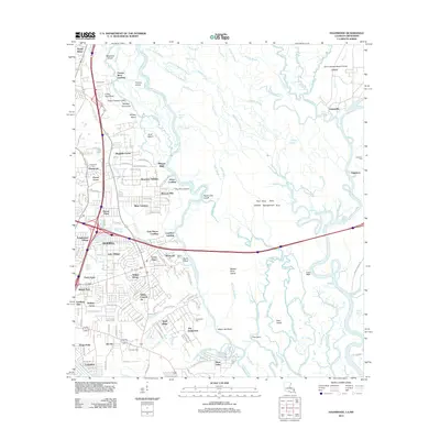 2012 Haaswood2012 Print · USGSSlidell and the Pearl River delta are shown here in the early twenty-first century, just as suburban growth met the wild bayou landscape. Local researchers can locate family burial sites at Porter Cem and trace old river landings such as Morgan Bluff and Gainesville.
 - 2012 Map of Bush, 2012 Print
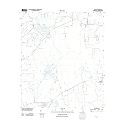 2012 Bush2012 Print · USGSSt. Tammany Parish at the turn of the decade shows a landscape of rural villages and quiet creek drainages. Researchers can locate numerous family burial sites like Cowart Cem and Quave Cem or trace the winding course of Talisheek Cr.
 - 2012 Map of Lacombe, 2012 Print
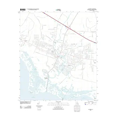 2012 Lacombe2012 Print · USGSThe north shore of Lake Pontchartrain is detailed here during a period of modern residential expansion and coastal preservation. Genealogists and historians can locate numerous family-named landmarks including Cousin Cem, Toomer Memorial Cem, and the Hygeia Health Camp.
 - 2012 Map of Slidell, 2012 Print
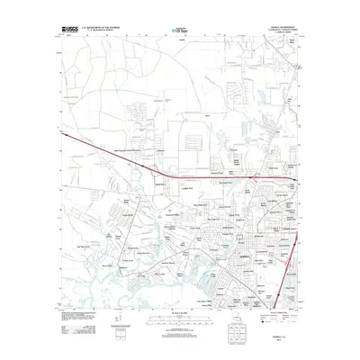 2012 Slidell2012 Print · USGSSt. Tammany Parish at the start of the 2010s reveals a suburban landscape intricately woven through the wetlands of the Lake Pontchartrain basin. Researchers can pinpoint specific family history sites like Kenjockety Farm, Dubuisson Cem, and the Dixie Ranch Lookout Tower.
 - 2012 Map of Rigolets, 2012 Print
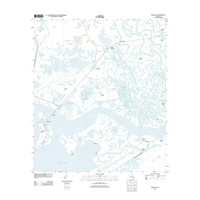 2012 Rigolets2012 Print · USGSCoastal marshes and historic fortifications dominate this New Orleans passage at the start of the 2010s. Modern researchers can locate the McKean Cem on Apple Pie Ridge or trace the strategic position of Pike Fort guarding the deep-water channels.
 - 2012 Map of Saint Tammany, 2012 Print
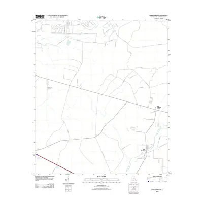 2012 Saint Tammany2012 Print · USGSSt. Tammany Parish enters the modern era with a mix of aviation infrastructure and rural family roots. You can trace the geography of Saint Tammany and find local landmarks like Crow Cem or the Greater Saint Tammany Airport.
 - 2012 Map of North Shore, 2012 Print
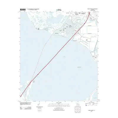 2012 North Shore2012 Print · USGSThe northern shores of Lake Pontchartrain are captured here in the early twenty-first century as suburban growth reached the marshes of St. Tammany Parish. Genealogists and local historians can trace the development of Eden Isle, locate Fields Cem, and map the coastal reaches of Irish Bayou.
 - 2012 Map of Robert, 2012 Print
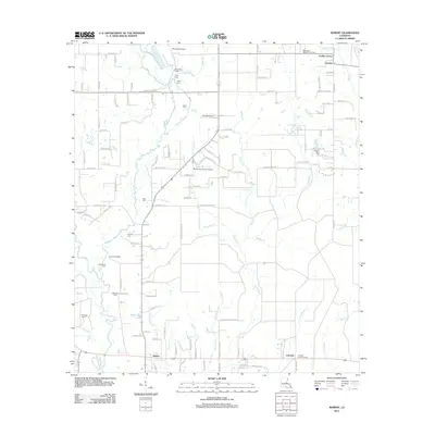 2012 Robert2012 Print · USGSTangipahoa Parish in the early 2010s reveals a landscape defined by small family settlements and numerous private airfields. Genealogists can trace family names through landmarks like Joiner Cem and Reid Cem or explore communities like Uneedus and Lorraine.
 - 2012 Map of Waldheim, 2012 Print
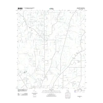 2012 Waldheim2012 Print · USGSSt. Tammany Parish north of Covington comes into focus during this early 21st-century survey of the piney woods and bayous. Genealogists and local historians can trace family burial sites like Fivemile Still Cem and the grounds of Saint Joseph Abbey.
 - 2012 Map of Covington, 2012 Print
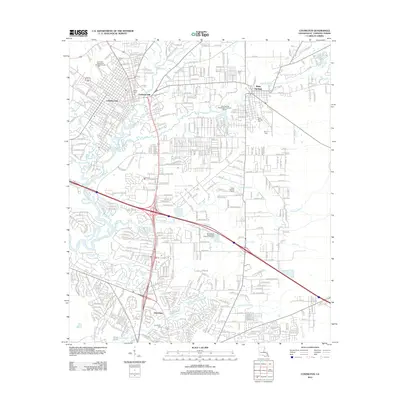 2012 Covington2012 Print · USGSSt. Tammany Parish at the start of the 2010s shows a landscape of suburban growth woven into its historic river settlements. Genealogists can locate several local burial sites like Byers Cem and Davis Cem, or trace the winding course of Bayou Chinchuba.
 - 2012 Map of Folsom, 2012 Print
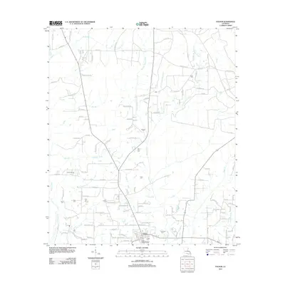 2012 Folsom2012 Print · USGSNorthern St. Tammany Parish comes into focus during the early twenty-first century, centered on the village of Folsom. Local historians can trace numerous family burial grounds and landmarks like Unicorn Airport, Hay Hollow Cem, and the headwaters of the Tchefuncte River.
 - 2012 Map of Enon, 2012 Print
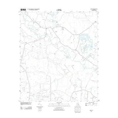 2012 Enon2012 Print · USGSWashington Parish in the early 2010s remains a landscape of river bends and family homesteads centered on the Bogue Chitto. Genealogists can trace decades of local history through sites like Magee Cem, Corkern Cem, and the Enon Lookout Tower.
 - 2012 Map of Covington SW, 2012 Print
 2012 Covington SW2012 Print · USGSCoastal Louisiana waters define this area in the early 2010s, focused on the northern reaches of the basin. Researchers can study the open-water geography and shoreline of Lake Pontchartrain as documented by the U.S. Geological Survey.
 - 2012 Map of Husser, 2012 Print
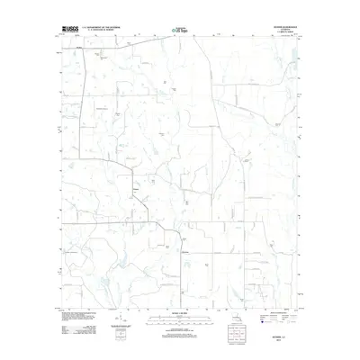 2012 Husser2012 Print · USGSTangipahoa Parish settlements and family cemeteries are documented here in the early twenty-first century. Genealogists can trace family names through sites like Saint Rock Cem and Olliphant Cem, while mapping the drainages of Chappepeela Cr and the Tchefuncte River.
 - 2012 Map of Spanish Fort NE, 2012 Print
 2012 Spanish Fort NE2012 Print · USGSLake Pontchartrain and its massive highway infrastructure are the focus of this maritime-heavy survey from the early 2010s. Researchers can trace the engineering footprint of the Lake Pontchartrain Causeway as it spans the open waters of Lake Pontchartrain.
 - 2012 Map of Spanish Fort NE OE W, 2012 Print
 2012 Spanish Fort NE OE W2012 Print · USGSThe open waters of Jefferson Parish are documented here in the years following the turn of the century. Genealogists and historians can trace the path of the Lake Pontchartrain Causeway as it crosses the expanse of Lake Pontchartrain.
 - 2012 Map of Martinville, 2012 Print
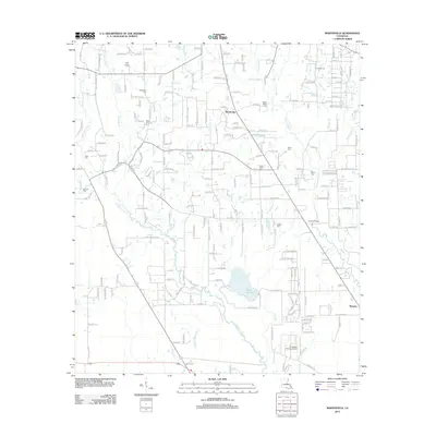 2012 Martinville2012 Print · USGSSt. Tammany Parish comes into focus during this early 21st-century survey of the north Covington area. Genealogists and local historians can trace family-named sites like Willie Cem, Bruhl Cem, and the historic banks of the Tchefuncte River.
 - 2012 Map of Madisonville, 2012 Print
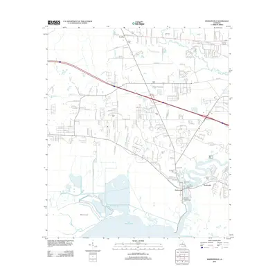 2012 Madisonville2012 Print · USGSMadisonville and the northern shores of Lake Pontchartrain are captured here in the early twenty-first century. Genealogists can locate several historic burial grounds including Wager Cem and Galatas Cem along the winding Black River.
 - 2012 Map of Mandeville, 2012 Print
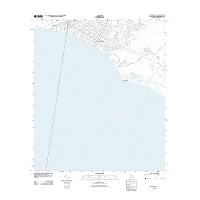 2012 Mandeville2012 Print · USGSThe Northshore of St. Tammany Parish comes into focus in the early twenty-first century as suburban expansion meets the water. Trace family plots at Mandeville Cem or follow the shoreline from Lewisburg past Green Point to the marshy Cane Bayou.
 - 2012 Map of Saint Joe Pass, 2012 Print
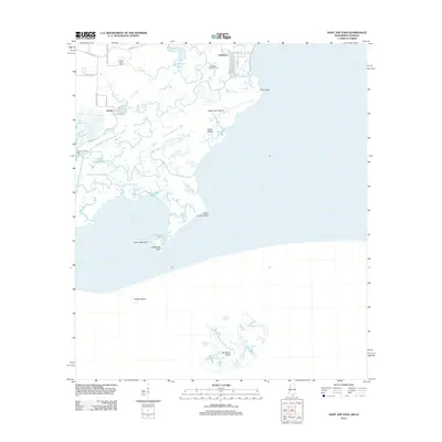 2012 Saint Joe Pass2012 Print · USGSThe Hancock County coastline and its intricate marshes are captured here in the early twenty-first century. Researchers can trace the layout of Lakeshore and Ansley, locate the Bayou Caddy Cem, and explore remote landmarks like Half Moon Island.
 - 2012 Map of Industrial, 2012 Print
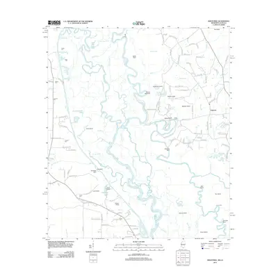 2012 Industrial2012 Print · USGSThe Pearl River and Bogue Chitto bottomlands at the Mississippi-Louisiana border are shown in high detail at the start of the 2010s. Researchers can locate family heritage sites like Hebron Cem and Thomas Cem or trace river landings such as Old Tar Landing.
Showing maps 1-25 of 146
Top cities of St. Tammany Parish
- Slidell historical maps
- Mandeville historical maps
- Covington historical maps
- Abita Springs historical maps
- Madisonville historical maps
- Folsom historical maps
See more
Frequently asked questions
- What are the different types of historical maps available for St. Tammany Parish?
- What is the oldest map of St. Tammany Parish?
- Where can I purchase historical maps of St. Tammany Parish for my home or office?
- Where can I download high-res historical maps of St. Tammany Parish?
- Are there historical topographic maps available for St. Tammany Parish?
- Is there historical aerial imagery available for St. Tammany Parish?
- Where are historical maps of St. Tammany Parish sourced from?