2000s (21st Century) Maps of Fryeburg, Maine
Explore 25 historic maps of Fryeburg from the 2000s (21st Century). These maps offer a rare glimpse into what life looked like during the 2000s — showing old roads, neighborhoods, homes, and landmarks that have changed or disappeared over time.
Whether you're researching your family's past, planning a metal detecting trip, or studying how Fryeburg's landscape evolved across the 2000s, these high-resolution maps are a powerful tool for exploring the history of this region.
- Focus on a specific era: All maps on this page are from the 2000s, giving you a focused view of this time period.
- See what’s changed: Compare century-old streets, trails, and buildings to today's modern landscape using overlays and satellite layers.
- Research with precision: Use these maps for genealogy, historical research, land use analysis, or educational projects.
- View, download, or print: Maps are fully viewable online in high resolution, and can be downloaded or printed for your own records.
Start exploring Fryeburg's history through authentic maps from the 2000s. This is your window into the past.
Fryeburg, ME maps
(25)- 2011 Map of Fryeburg, 2011 Print
 2011 Fryeburg2011 Print · USGSCovers Fryeburg, including Conway, Brownfield, and other nearby areas
 - 2011 Map of Pleasant Mountain, 2011 Print
 2011 Pleasant Mountain2011 Print · USGSCovers Fryeburg, including Bridgton, Denmark, and other nearby areas
 - 2011 Map of Brownfield, 2011 Print
 2011 Brownfield2011 Print · USGSCovers Fryeburg, including Conway, Freedom, and other nearby areas
 - 2012 Map of Center Lovell, 2012 Print
 2012 Center Lovell2012 Print · USGSCovers Fryeburg, including Lovell, Sweden, and other nearby areas
 - 2012 Map of North Conway East, 2012 Print
 2012 North Conway East2012 Print · USGSCovers Fryeburg, including Conway, Bartlett, and other nearby areas
 - 2014 Map of Brownfield, 2014 Print
 2014 Brownfield2014 Print · USGSCovers Fryeburg, including Conway, Freedom, and other nearby areas
 - 2014 Map of Pleasant Mountain, 2014 Print
 2014 Pleasant Mountain2014 Print · USGSCovers Fryeburg, including Bridgton, Denmark, and other nearby areas
 - 2014 Map of Fryeburg, 2014 Print
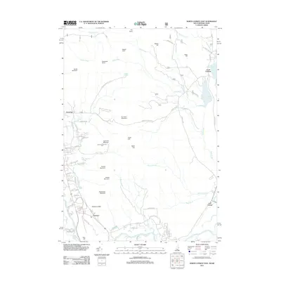
 2014 Fryeburg2014 Print · USGSCovers Fryeburg, including Conway, Brownfield, and other nearby areas
 - 2014 Map of Center Lovell, 2014 Print
 2014 Center Lovell2014 Print · USGSCovers Fryeburg, including Lovell, Sweden, and other nearby areas
 - 2015 Map of North Conway East, 2015 Print
 2015 North Conway East2015 Print · USGSCovers Fryeburg, including Conway, Bartlett, and other nearby areas
 - 2018 Map of North Conway East, 2018 Print
 2018 North Conway East2018 Print · USGSCovers Fryeburg, including Conway, Bartlett, and other nearby areas
 - 2018 Map of Brownfield, 2018 Print
 2018 Brownfield2018 Print · USGSCovers Fryeburg, including Conway, Freedom, and other nearby areas
 - 2018 Map of Center Lovell, 2018 Print
 2018 Center Lovell2018 Print · USGSCovers Fryeburg, including Lovell, Sweden, and other nearby areas
 - 2018 Map of Fryeburg, 2018 Print
 2018 Fryeburg2018 Print · USGSCovers Fryeburg, including Conway, Brownfield, and other nearby areas
 - 2018 Map of Pleasant Mountain, 2018 Print
 2018 Pleasant Mountain2018 Print · USGSCovers Fryeburg, including Bridgton, Denmark, and other nearby areas
 - 2021 Map of Brownfield, 2021 Print
 2021 Brownfield2021 Print · USGSCovers Fryeburg, including Conway, Freedom, and other nearby areas
 - 2021 Map of Fryeburg, 2021 Print
 2021 Fryeburg2021 Print · USGSCovers Fryeburg, including Conway, Brownfield, and other nearby areas
 - 2021 Map of Pleasant Mountain, 2021 Print
 2021 Pleasant Mountain2021 Print · USGSCovers Fryeburg, including Bridgton, Denmark, and other nearby areas
 - 2021 Map of Center Lovell, 2021 Print
 2021 Center Lovell2021 Print · USGSCovers Fryeburg, including Lovell, Sweden, and other nearby areas
 - 2021 Map of North Conway East, 2021 Print
 2021 North Conway East2021 Print · USGSCovers Fryeburg, including Conway, Bartlett, and other nearby areas
 - 2024 Map of Brownfield, 2024 Print
 2024 Brownfield2024 Print · USGSOxford County and the Maine-New Hampshire borderlands are captured here in 2024, showing the rural communities of the Saco River valley. Researchers can trace dozens of family-named landmarks and burial sites, from Marston Cem to the Burnt Meadow Mountains.
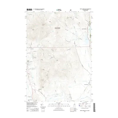
 - 2024 Map of North Conway East, 2024 Print
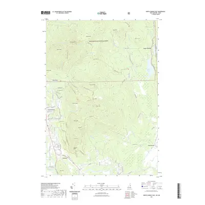
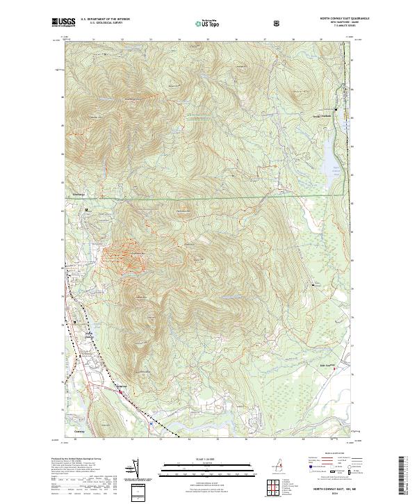 2024 North Conway East2024 Print · USGSThe eastern White Mountains and the Saco River valley appear in detail here during the modern era. Researchers can trace the legacy of early tourism and mountain settlement through family-named landmarks like Rickers Knoll and historic burial grounds such as Kearsarge Cem and Green Hill Cem.
 - 2024 Map of Fryeburg, 2024 Print
 2024 Fryeburg2024 Print · USGSThe Maine-New Hampshire borderlands near Fryeburg appear here in a recent survey that captures the area's intricate river-valley geography. Genealogists can trace family roots through numerous burial sites like Pine Grove Cem and Riverside Cem, or locate landmarks such as Jockey Cap and Swans Falls.
 - 2024 Map of Pleasant Mountain, 2024 Print
 2024 Pleasant Mountain2024 Print · USGSThe foothills of the White Mountains come into focus in this recent survey of the Cumberland and Oxford county line. Genealogists can trace family footprints across dozens of small burial grounds including Mount Pleasant Cem, Lowell Cem, and Douglass Cem.
 - 2024 Map of Center Lovell, 2024 Print
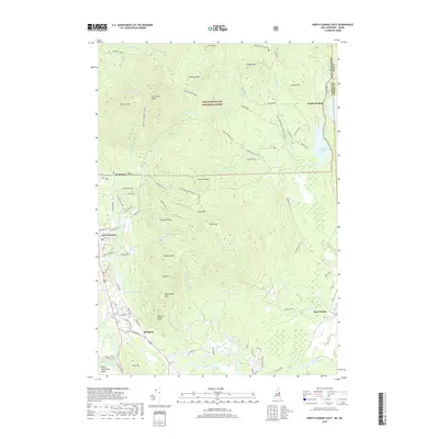
 2024 Center Lovell2024 Print · USGSOxford County's lake country is captured here in the 2020s, showing the established communities and shoreline developments around Kezar Lake. Researchers can locate numerous family burial grounds like Fox Cem and Bemis Cem, or trace the historical path of the Old Course Saco River.
End of results
Showing maps 1-25 of 25
Top cities near Fryeburg
- Bridgton historical maps
- Norway historical maps
- Ossipee historical maps
- Conway historical maps
- Bartlett historical maps
- Madison historical maps
See more
Top neighborhoods of Fryeburg
- Fryeburg Center historical maps
- Highland Park historical maps
- West Fryeburg historical maps
- East Fryeburg historical maps
- North Fryeburg historical maps
Frequently asked questions
- What are the different types of historical maps available for Fryeburg?
- What is the oldest map of Fryeburg?
- Where can I purchase historical maps of Fryeburg for my home or office?
- Where can I download high-res historical maps of Fryeburg?
- Are there historical topographic maps available for Fryeburg?
- Is there historical aerial imagery available for Fryeburg?
- Where are historical maps of Fryeburg sourced from?