2000s (21st Century) Maps of Garrett County, Maryland
Explore 90 historic maps of Garrett County from the 2000s (21st Century). These maps offer a rare glimpse into what life looked like during the 2000s — showing old roads, neighborhoods, homes, and landmarks that have changed or disappeared over time.
Whether you're researching your family's past, planning a metal detecting trip, or studying how Garrett County's landscape evolved across the 2000s, these high-resolution maps are a powerful tool for exploring the history of this region.
- Focus on a specific era: All maps on this page are from the 2000s, giving you a focused view of this time period.
- See what’s changed: Compare century-old streets, trails, and buildings to today's modern landscape using overlays and satellite layers.
- Research with precision: Use these maps for genealogy, historical research, land use analysis, or educational projects.
- View, download, or print: Maps are fully viewable online in high resolution, and can be downloaded or printed for your own records.
Start exploring Garrett County's history through authentic maps from the 2000s. This is your window into the past.
Garrett County, MD maps
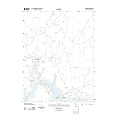
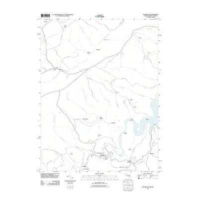
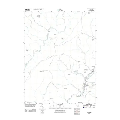
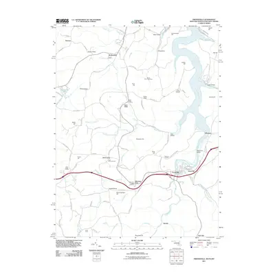
(90)- 2011 Map of Davis, 2011 Print
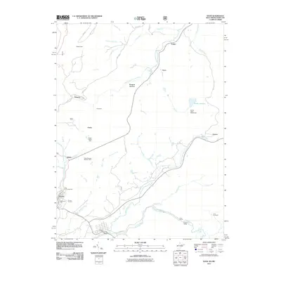 2011 Davis2011 Print · USGSCovers Garrett County, including Davis, Thomas, and other nearby areas
 - 2011 Map of Table Rock, 2011 Print
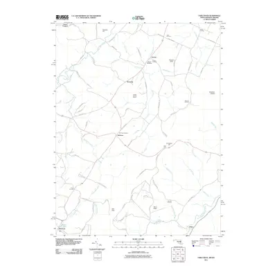 2011 Table Rock2011 Print · USGSCovers Garrett County, including Wilson, Silver Lake, and other nearby areas
 - 2011 Map of Lonaconing, 2011 Print
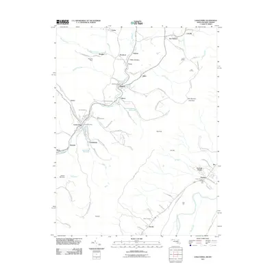 2011 Lonaconing2011 Print · USGSCovers Garrett County, including Lonaconing, Rawlings, and other nearby areas
 - 2011 Map of Frostburg, 2011 Print
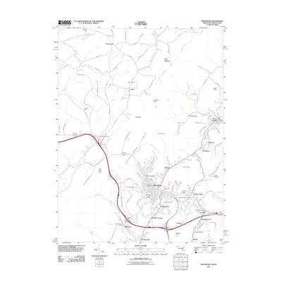 2011 Frostburg2011 Print · USGSCovers Garrett County, including Frostburg, Eckhart Mines, and other nearby areas
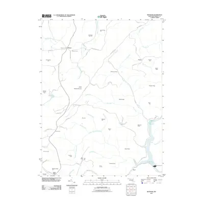
 - 2011 Map of McHenry, 2011 Print
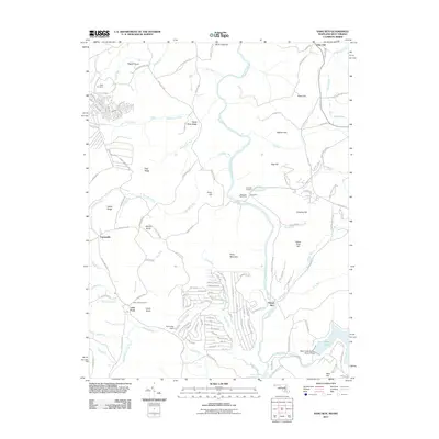
 2011 McHenry2011 Print · USGSCovers Garrett County, including Accident, Thayerville, and other nearby areas
 - 2011 Map of Avilton, 2011 Print
 2011 Avilton2011 Print · USGSCovers Garrett County, including New Germany, Sylvan Lane, and other nearby areas
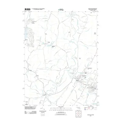
 - 2011 Map of Grantsville, 2011 Print
 2011 Grantsville2011 Print · USGSCovers Garrett County, including Grantsville, Jennings, and other nearby areas
 - 2011 Map of Deer Park, 2011 Print
 2011 Deer Park2011 Print · USGSCovers Garrett County, including Mountain Lake Park, Loch Lynn Heights, and other nearby areas
 - 2011 Map of Kitzmiller, 2011 Print
 2011 Kitzmiller2011 Print · USGSCovers Garrett County, including Kitzmiller, Elk Garden, and other nearby areas
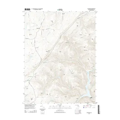
 - 2011 Map of Bittinger, 2011 Print
 2011 Bittinger2011 Print · USGSCovers Garrett County, including North Glade, Grage, and other nearby areas
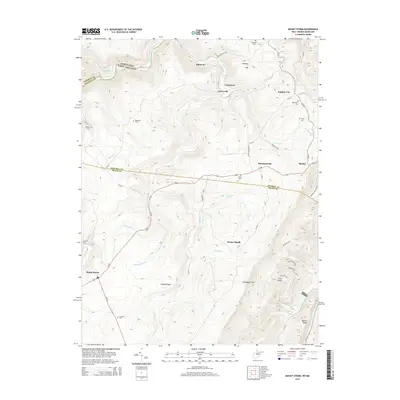
 - 2011 Map of Mount Storm, 2011 Print
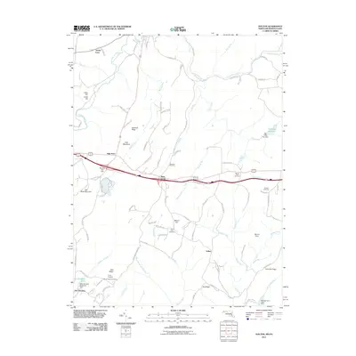
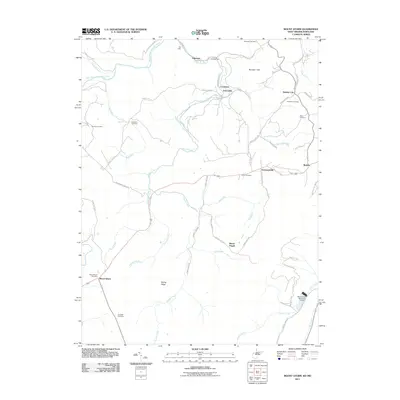 2011 Mount Storm2011 Print · USGSCovers Garrett County, including Sulphur City, Mount Pisgah, and other nearby areas
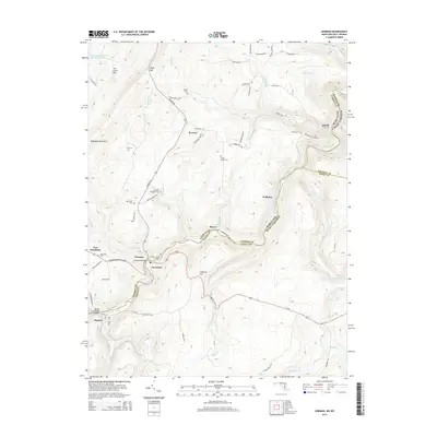
 - 2011 Map of Gorman, 2011 Print
 2011 Gorman2011 Print · USGSCovers Garrett County, including Bayard, Gorman, and other nearby areas
 - 2011 Map of Barton, 2011 Print
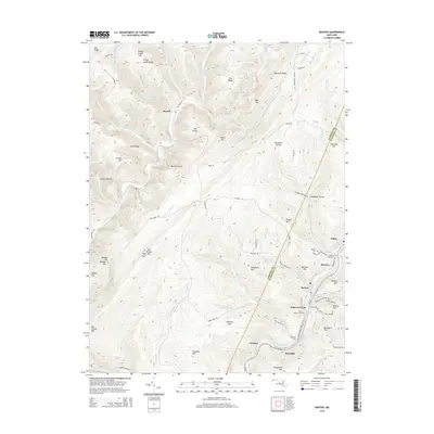
 2011 Barton2011 Print · USGSCovers Garrett County, including Barton, Moscow, and other nearby areas
 - 2011 Map of Sang Run, 2011 Print
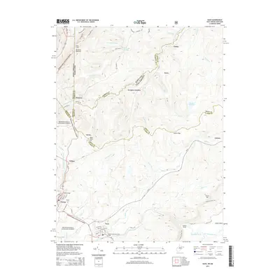
 2011 Sang Run2011 Print · USGSCovers Garrett County, including Elder Hill, Lake Ford, and other nearby areas
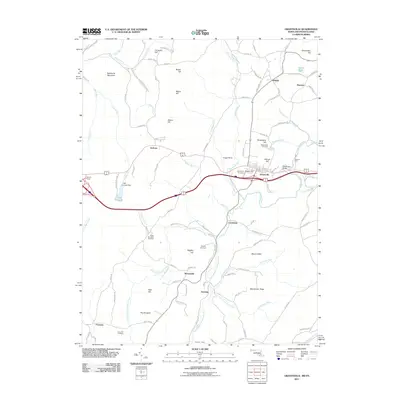
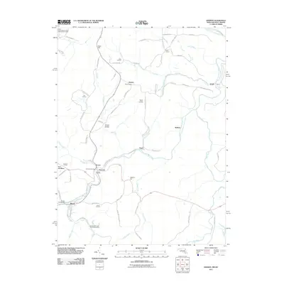
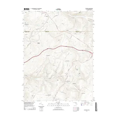
 - 2011 Map of Accident, 2011 Print
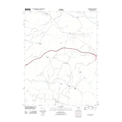 2011 Accident2011 Print · USGSCovers Garrett County, including Accident, Addison, and other nearby areas
 - 2011 Map of Oakland, 2011 Print
 2011 Oakland2011 Print · USGSCovers Garrett County, including Mountain Lake Park, Oakland, and other nearby areas
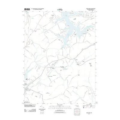
 - 2011 Map of Friendsville, 2011 Print
 2011 Friendsville2011 Print · USGSCovers Garrett County, including Friendsville, Markleysburg, and other nearby areas
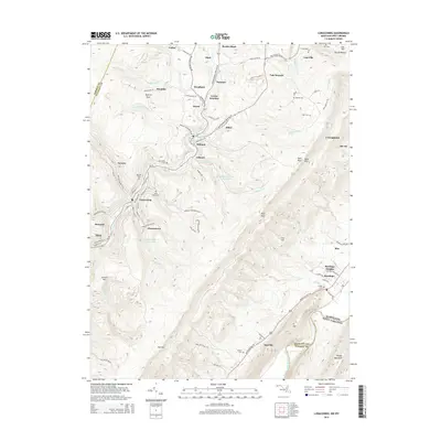
 - 2011 Map of Westernport, 2011 Print
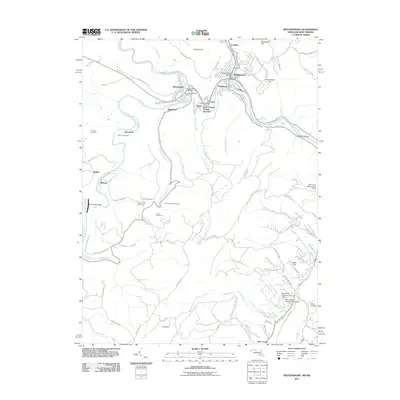 2011 Westernport2011 Print · USGSCovers Garrett County, including Westernport, Piedmont, and other nearby areas
 - 2014 Map of Davis, 2014 Print
 2014 Davis2014 Print · USGSCovers Garrett County, including Davis, Thomas, and other nearby areas
 - 2014 Map of Mount Storm, 2014 Print
 2014 Mount Storm2014 Print · USGSCovers Garrett County, including Sulphur City, Mount Pisgah, and other nearby areas
 - 2014 Map of Barton, 2014 Print
 2014 Barton2014 Print · USGSCovers Garrett County, including Barton, Moscow, and other nearby areas
 - 2014 Map of Gorman, 2014 Print
 2014 Gorman2014 Print · USGSCovers Garrett County, including Bayard, Gorman, and other nearby areas
 - 2014 Map of Lonaconing, 2014 Print
 2014 Lonaconing2014 Print · USGSCovers Garrett County, including Lonaconing, Rawlings, and other nearby areas
 - 2014 Map of Bittinger, 2014 Print
 2014 Bittinger2014 Print · USGSCovers Garrett County, including North Glade, Grage, and other nearby areas
 - 2014 Map of Accident, 2014 Print
 2014 Accident2014 Print · USGSCovers Garrett County, including Accident, Addison, and other nearby areas
Showing maps 1-25 of 90
Top cities of Garrett County
- Mountain Lake Park historical maps
- Oakland historical maps
- Grantsville historical maps
- Loch Lynn Heights historical maps
- Finzel historical maps
- Friendsville historical maps
See more
Frequently asked questions
- What are the different types of historical maps available for Garrett County?
- What is the oldest map of Garrett County?
- Where can I purchase historical maps of Garrett County for my home or office?
- Where can I download high-res historical maps of Garrett County?
- Are there historical topographic maps available for Garrett County?
- Is there historical aerial imagery available for Garrett County?
- Where are historical maps of Garrett County sourced from?