Old Maps of Litchfield, Minnesota for Metal Detecting
Plan your next treasure hunt with 29 historic maps of Litchfield. Find old homesites, ghost towns, trails, and gathering spots that may be lost to time — perfect for identifying promising metal detecting locations.
- Locate forgotten sites: Uncover places like long-lost settlements, abandoned rail lines, or gathering spots.
- Plan better hunts: Use map overlays combined with LiDAR or satellite views to narrow in on historically rich areas.
- Made for detectorists: Thousands of hobbyists use these maps to discover relics, coins, and hidden history.
Use these historic maps to boost your research and find new opportunities beneath the surface of Litchfield.
Litchfield, MN maps
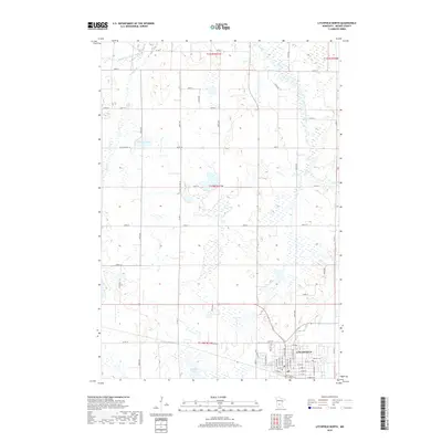
(29)- 1953 Map of Saint Cloud, 1968 Print
 1953 Saint Cloud1968 Print · USGSCentral Minnesota's lake country and the Mississippi River valley are caught in a period of steady mid-century growth. Researchers can trace historic rail lines, old granite works, and local landmarks like St. Johns University, Camp Ripley, and the shores of Lake Minnewaska.3 unique versions available
 - 1957 Map of Saint Cloud
 1957 Saint Cloud1957 Print · USGSCentral Minnesota's lake country and rail corridors are meticulously detailed in the mid-1950s. Genealogists and researchers can trace the growth of towns like Alexandria, Willmar, and Saint Cloud along the Great Northern railroad line.
 - 1958 Map of Saint Cloud
 1958 Saint Cloud1958 Print · USGSCentral Minnesota in the mid-1950s shows a landscape of growing regional hubs and hundreds of glacial lakes connected by an extensive rail network. Genealogists and historians can trace the early footprints of Saint Cloud, Alexandria, and Willmar along the Great Northern Railway.
 - 1958 Map of Dassel, 1959 Print
 1958 Dassel1959 Print · USGSMeeker and Wright counties are shown here in the late 1950s, a period when rural schoolhouses and family churches still dotted the prairie. You can trace the Great Northern rail line through Dassel or find old family sites at Ostmark Ch and Maynard Lake Sch.2 unique versions available
 - 1967 Map of Litchfield South, 1968 Print
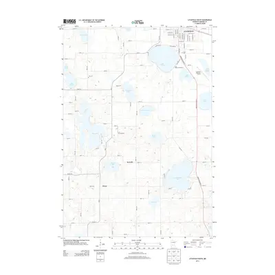
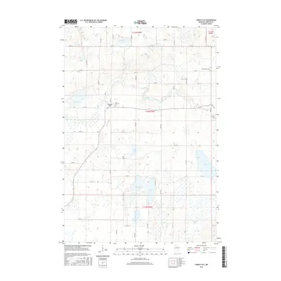
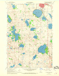 1967 Litchfield South1968 Print · USGSMeeker County is shown in the late sixties as a thriving network of lakefront settlements and rural school districts. Genealogists and local historians can trace family locations near landmarks like Ness Ch, Beckville, and the Minnie-Belle Sch.3 unique versions available
 - 1967 Map of Litchfield North, 1968 Print
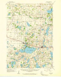
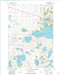
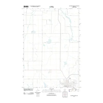
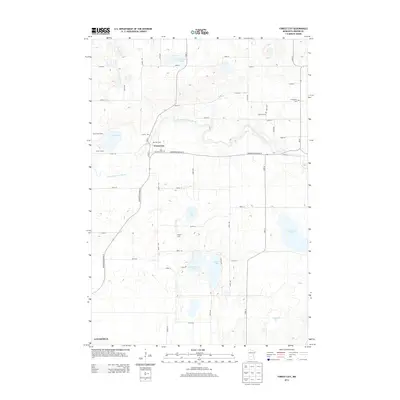
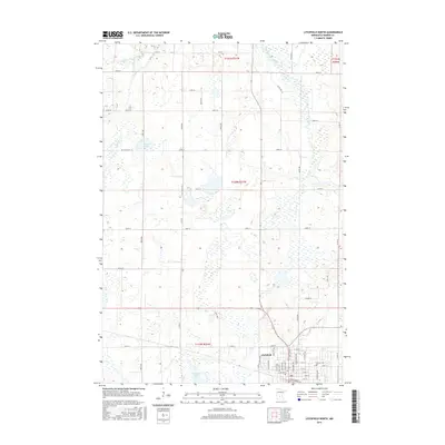
 1967 Litchfield North1968 Print · USGSMeeker County in the late sixties centers on the growing city of Litchfield and its surrounding wetlands. Genealogists and local historians can trace the town's footprint through the Great Northern rail line, Calvary Cem, and St Phillips Sch.3 unique versions available
 - 1982 Map of Forest City
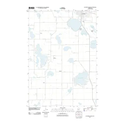
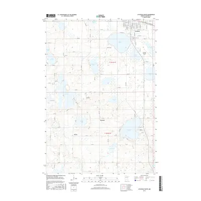
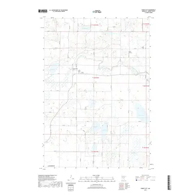
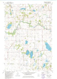 1982 Forest City1982 Print · USGSMeeker County's river valleys and prairie lakes are captured here in the early eighties as the rural landscape of Forest City remained deeply rooted in its local parishes. Genealogists and local historians can locate St Gertrude Ch, the West Kingston Mission, and family landmarks near Richardson Lake.
 - 1982 Map of Darwin
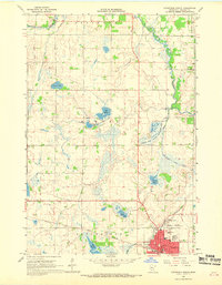
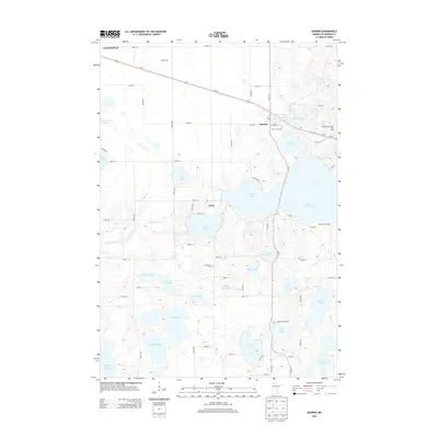
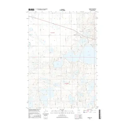
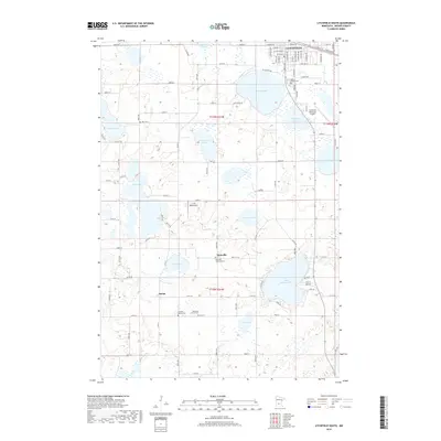
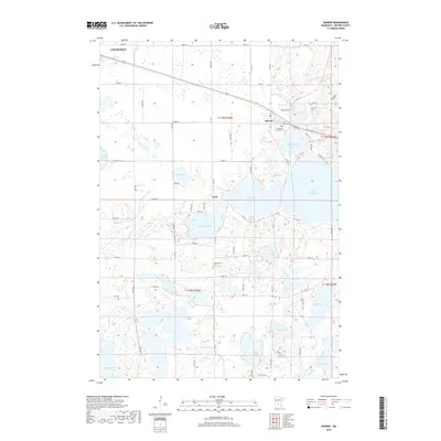
 1982 Darwin1982 Print · USGSMeeker County is captured in the early eighties as a hub of lakeside living and rail transit near the village of Darwin. Genealogists and local historians can trace family sites at St Johns Cem, St Peters Ch, and the rural Townhall near Mud Lake.
 - 1986 Map of Litchfield
 1986 Litchfield1986 Print · USGSCentral Minnesota in the mid-eighties was a landscape of conservation and transport, where the Burlington Northern rail line connected thriving lake towns. Genealogists and historians can trace old townships and landmarks like St Nicholas, Forest City, and School House Lake.2 unique versions available
 - 2010 Map of Forest City, 2010 Print
 2010 Forest City2010 Print · USGSCovers Litchfield, including Forest City, Meeker County, and other nearby areas
 - 2010 Map of Darwin, 2010 Print
 2010 Darwin2010 Print · USGSCovers Litchfield, including Darwin, Casey, and other nearby areas
 - 2010 Map of Litchfield South, 2010 Print
 2010 Litchfield South2010 Print · USGSCovers Litchfield, including Evergreen Mobile Home Park, Evergreen Mobile Home Park, and other nearby areas
 - 2010 Map of Litchfield North, 2010 Print
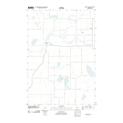
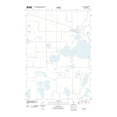
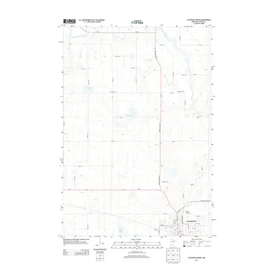
 2010 Litchfield North2010 Print · USGSCovers Litchfield, including Meeker County, United States, and other nearby areas
 - 2013 Map of Litchfield North, 2013 Print
 2013 Litchfield North2013 Print · USGSCovers Litchfield, including Meeker County, United States, and other nearby areas
 - 2013 Map of Litchfield South, 2013 Print
 2013 Litchfield South2013 Print · USGSCovers Litchfield, including Evergreen Mobile Home Park, Evergreen Mobile Home Park, and other nearby areas
 - 2013 Map of Darwin, 2013 Print
 2013 Darwin2013 Print · USGSCovers Litchfield, including Darwin, Casey, and other nearby areas
 - 2013 Map of Forest City, 2013 Print
 2013 Forest City2013 Print · USGSCovers Litchfield, including Forest City, Meeker County, and other nearby areas
 - 2016 Map of Darwin, 2016 Print
 2016 Darwin2016 Print · USGSCovers Litchfield, including Darwin, Casey, and other nearby areas
 - 2016 Map of Litchfield South, 2016 Print
 2016 Litchfield South2016 Print · USGSCovers Litchfield, including Evergreen Mobile Home Park, Evergreen Mobile Home Park, and other nearby areas
 - 2016 Map of Forest City, 2016 Print
 2016 Forest City2016 Print · USGSCovers Litchfield, including Forest City, Meeker County, and other nearby areas
 - 2016 Map of Litchfield North, 2016 Print
 2016 Litchfield North2016 Print · USGSCovers Litchfield, including Meeker County, United States, and other nearby areas
 - 2019 Map of Litchfield South, 2019 Print
 2019 Litchfield South2019 Print · USGSCovers Litchfield, including Evergreen Mobile Home Park, Evergreen Mobile Home Park, and other nearby areas
 - 2019 Map of Forest City, 2019 Print
 2019 Forest City2019 Print · USGSCovers Litchfield, including Forest City, Meeker County, and other nearby areas
 - 2019 Map of Darwin, 2019 Print
 2019 Darwin2019 Print · USGSCovers Litchfield, including Darwin, Casey, and other nearby areas
 - 2019 Map of Litchfield North, 2019 Print
 2019 Litchfield North2019 Print · USGSCovers Litchfield, including Meeker County, United States, and other nearby areas
Showing maps 1-25 of 29
Top cities near Litchfield
- Hutchinson historical maps
- Dassel historical maps
- Watkins historical maps
- Greenleaf historical maps
- Forest City historical maps
- Kimball historical maps
See more
Frequently asked questions
- What are the different types of historical maps available for Litchfield?
- What is the oldest map of Litchfield?
- Where can I purchase historical maps of Litchfield for my home or office?
- Where can I download high-res historical maps of Litchfield?
- Are there historical topographic maps available for Litchfield?
- Is there historical aerial imagery available for Litchfield?
- Where are historical maps of Litchfield sourced from?