2000s (21st Century) Maps of Carter County, Missouri
Explore 60 historic maps of Carter County from the 2000s (21st Century). These maps offer a rare glimpse into what life looked like during the 2000s — showing old roads, neighborhoods, homes, and landmarks that have changed or disappeared over time.
Whether you're researching your family's past, planning a metal detecting trip, or studying how Carter County's landscape evolved across the 2000s, these high-resolution maps are a powerful tool for exploring the history of this region.
- Focus on a specific era: All maps on this page are from the 2000s, giving you a focused view of this time period.
- See what’s changed: Compare century-old streets, trails, and buildings to today's modern landscape using overlays and satellite layers.
- Research with precision: Use these maps for genealogy, historical research, land use analysis, or educational projects.
- View, download, or print: Maps are fully viewable online in high resolution, and can be downloaded or printed for your own records.
Start exploring Carter County's history through authentic maps from the 2000s. This is your window into the past.
Carter County, MO maps
(60)- 2011 Map of Grandin SW, 2011 Print
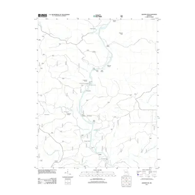 2011 Grandin SW2011 Print · USGSRipley County's river-carved terrain is documented here in the early twenty-first century as the Current River flows past timbered ridges and old mill sites. Researchers can trace family history through Ponder Cemetery and Hufstedler Cemetery or locate landmarks like Tuckers Mill and the Panther Lookout Tower.
 - 2011 Map of Fremont, 2011 Print
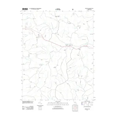 2011 Fremont2011 Print · USGSThe Missouri Ozarks near Fremont are shown here as a landscape of deep hollows and family cemeteries in the early twenty-first century. Genealogists and local historians can locate several burial grounds like Evaline Cemetery and New Hope Cemetery or trace the path of the Old Tram Rd.
 - 2011 Map of Grandin, 2011 Print
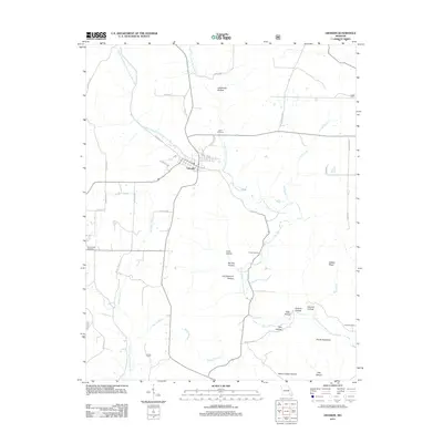 2011 Grandin2011 Print · USGSGrandin and the surrounding hollows of Carter County are documented here in the early twenty-first century. Genealogists can locate family landmarks like Roan Cemetery and Shiloh Cemetery while outdoorsmen trace the rugged Devils Backbone and Camp Semoca.
 - 2011 Map of Big Spring, 2011 Print
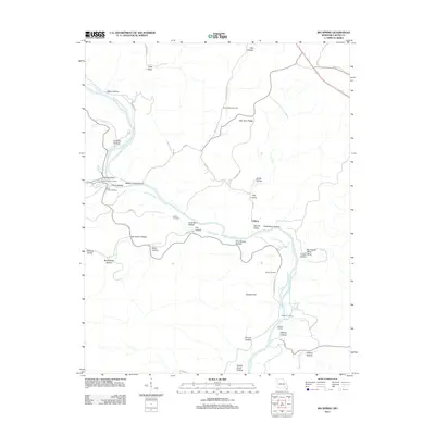 2011 Big Spring2011 Print · USGSThe Current River corridor in the early twenty-first century remains defined by its deep hollows and historic springs. Genealogists and historians can trace the legacy of the CCC Historic District near Big Spring or locate family sites like Aldrich Valley Cemetery and Chilton.
 - 2011 Map of Ellsinore, 2011 Print
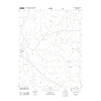 2011 Ellsinore2011 Print · USGSCarter County at the start of the 2010s reveals a landscape of hollows and small settlements. Genealogists and local historians can trace family roots at Robertson Cemetery and Kearney Cemetery or explore the area around Orchard Switch.
 - 2011 Map of Hunter, 2011 Print
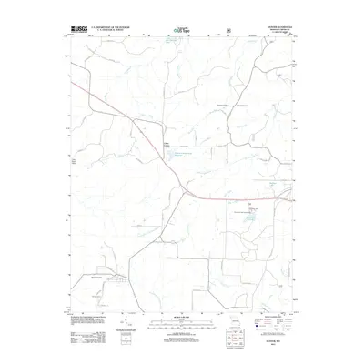 2011 Hunter2011 Print · USGSHunter and the surrounding Carter County timberlands are documented here in the early twenty-first century as the landscape transitioned between historic industry and modern recreation. Researchers can locate the Old Tram Rd, Highland Cemetery, and the Hunter Lookout Tower.
 - 2011 Map of Hogan Hollow, 2011 Print
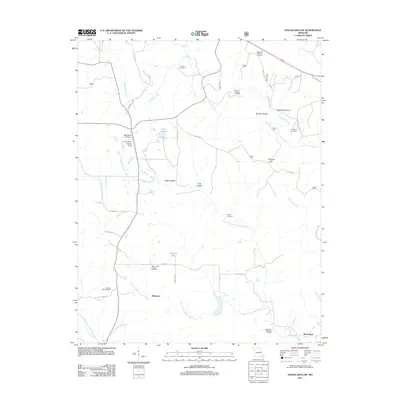 2011 Hogan Hollow2011 Print · USGSRipley County is captured in the early twenty-first century, showing a landscape defined by deep hollows and creek prongs. Genealogists can locate several family burial sites like Margaret Trainor Cemetery and landmarks such as Grandin Lookout Tower and Budapest.
 - 2011 Map of Garwood, 2011 Print
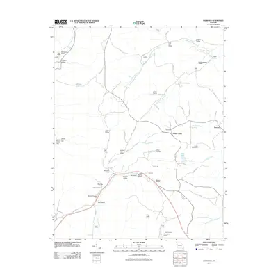 2011 Garwood2011 Print · USGSReynolds County settlements and family lands are preserved here during the early twenty-first century. Genealogists can trace local history through numerous burial sites like Smith Cemetery and Tedder Cemetery or landmarks like the Garwood Lookout Tower.
 - 2011 Map of Van Buren North, 2011 Print
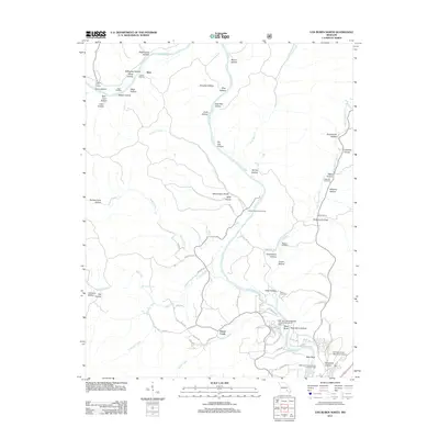 2011 Van Buren North2011 Print · USGSThe Current River valley north of Van Buren is shown here in the early twenty-first century, featuring a landscape of deep hollows and active river access points. Genealogists and local historians can locate family landmarks like Maberry Cemetery, Beal Landing, and the Collins Cemetery.
 - 2011 Map of Stegall Mountain, 2011 Print
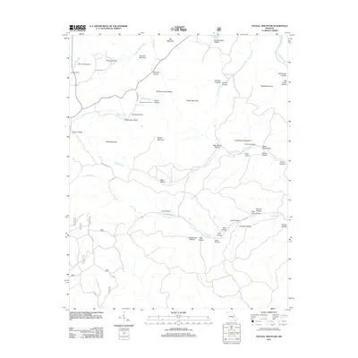 2011 Stegall Mountain2011 Print · USGSCarter County's rugged Ozark interior is captured here in the early twenty-first century, showing a landscape defined by isolated peaks and creek drainages. Researchers can locate Reed Cemetery or trace the geography of landmarks like Rocky Falls and Stegall Mountain.
 - 2012 Map of Handy, 2012 Print
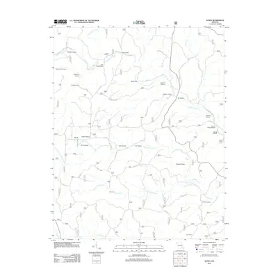 2012 Handy2012 Print · USGSThe rural landscape of Ripley County comes to life in this recent survey of the Missouri Ozarks. Genealogists and hikers can trace the winding hollows to find Bristol Cemetery, Hodo Camp, and the secluded waters of Big Barren Creek and Spout Spring.
 - 2012 Map of Wilderness, 2012 Print
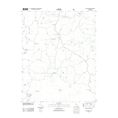 2012 Wilderness2012 Print · USGSOregon County is shown here in the early twenty-first century, centered on the community of Wilderness and its surrounding hollows. You can trace the path of the Old Tram Rd and locate landmarks like the Freeman Cemetery and Sinking Creek Lookout Tower.
 - 2012 Map of Van Buren South, 2012 Print
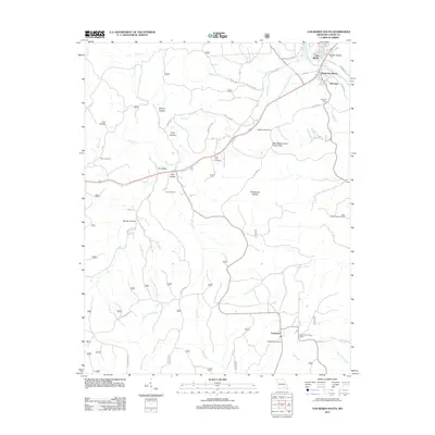 2012 Van Buren South2012 Print · USGSThe northern Ozarks south of Van Buren are captured here in the early twenty-first century, centered on the winding Current River. Genealogists and researchers can trace family names at Turley Cemetery and Poca Cemetery, or locate the small communities of Chicopee and Eastwood.
 - 2012 Map of Ellington SE, 2012 Print
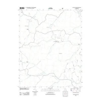 2012 Ellington SE2012 Print · USGSHadley and its surrounding hollows are captured in 2012, showing the rural character of this Ozark landscape near the headwaters of the Black River. Genealogists can locate several family landmarks like Potter Cemetery and Webb Cemetery or trace the early settlement of Hadley.
 - 2012 Map of Mill Spring, 2012 Print
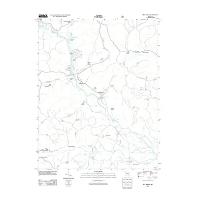 2012 Mill Spring2012 Print · USGSThe Black River valley in Wayne County remains the lifeblood of these river towns during the early 21st century. Genealogists can trace family heritage through local landmarks like Bowles Cemetery, Leeper Cemetery, and the historic settlement at Mill Spring.
 - 2015 Map of Stegall Mountain, 2015 Print
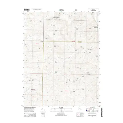 2015 Stegall Mountain2015 Print · USGSIn the heart of the Missouri Ozarks during the 2010s, this area showcases the intersection of federal forest and river conservation. Researchers can trace remote family landmarks like Reed Cemetery or the summit of Stegall Mountain and follow the paths of Rocky Cr and Mill Cr.
 - 2015 Map of Van Buren South, 2015 Print
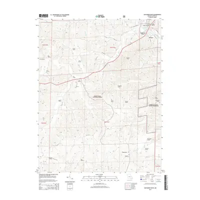 2015 Van Buren South2015 Print · USGSThe Current River corridor in Carter County is documented here during the mid-2010s, showing the intersection of river life and forest management. Genealogists and hikers can trace old family burial grounds at Turley Cemetery and Eastwood Cemetery, or explore the deep hollows around Chicopee and Eastwood.
 - 2015 Map of Mill Spring, 2015 Print
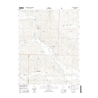 2015 Mill Spring2015 Print · USGSThe Black River valley in the eastern Ozarks comes alive in this study of the communities of Leeper and Mill Spring. Genealogists can trace family names through numerous burial sites like Leeper Cemetery and Bowles Cemetery, or locate ancestral homesteads near Mining Town Hollow.
 - 2015 Map of Ellington SE, 2015 Print
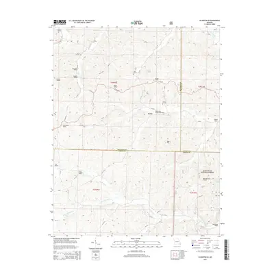 2015 Ellington SE2015 Print · USGSThe Missouri Ozarks around Hadley and Webb Valley are documented here in the early twenty-first century, showing a landscape of deep hollows and family-named ridges. Researchers can locate ancestral sites like Potter Cemetery and Webb Cemetery or trace the drainage of Big Brushy Cr and the Black River.
 - 2015 Map of Hunter, 2015 Print
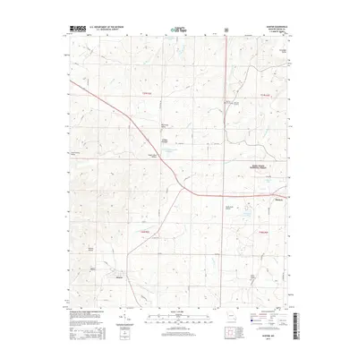 2015 Hunter2015 Print · USGSThe Missouri Ozarks are showcased in the mid-2010s, centering on the rural communities of Carter County. Genealogists and local historians can locate numerous burial sites and landmarks like Highland Cemetery, Crites Corner, and Copper Mine Hollow.
 - 2015 Map of Big Spring, 2015 Print
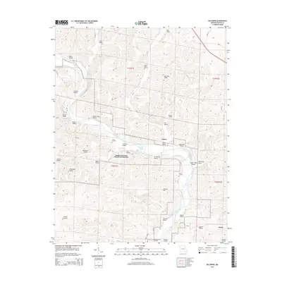 2015 Big Spring2015 Print · USGSMissouri's Ozark interior comes into focus during the mid-2010s, centered on the river-fed valleys of Carter County. Researchers can trace family history at Chilton Cemetery or explore landmarks like Big Spring and the curiously named Colemans Failure Chute.
 - 2015 Map of Hogan Hollow, 2015 Print
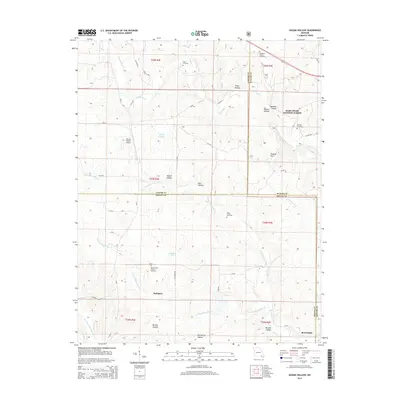 2015 Hogan Hollow2015 Print · USGSThe hill country of Ripley, Carter, and Butler Counties comes alive here during the mid-2010s. Genealogists and local historians can trace the locations of family landmarks like Scott Cemetery, Collins Cemetery, and the community surrounding Budapest.
 - 2015 Map of Grandin SW, 2015 Print
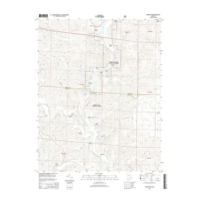 2015 Grandin SW2015 Print · USGSThe Current River valley at the Carter and Ripley County line reveals a landscape of protected forests and family legacies in the mid-2010s. Genealogists and hikers can locate several quiet burial grounds like Hannars Graveyard and Hufstedler Cemetery among the hollows and river bluffs.
 - 2015 Map of Wilderness, 2015 Print
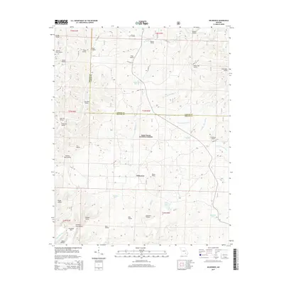 2015 Wilderness2015 Print · USGSIn the Ozarks during the early twenty-first century, the settlement of Wilderness remained a quiet hub within the Mark Twain National Forest. Genealogists and historians can trace the legacy of local families through Freeman Cemetery and explore old transport routes like the Old Tram Rd.
 - 2015 Map of Fremont, 2015 Print
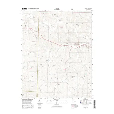 2015 Fremont2015 Print · USGSFremont and the surrounding Ozark woodlands are shown here in the mid-2010s, nestled within the Mark Twain National Forest. Genealogists can locate several family burial sites like Midco Cemetery and New Hope Cemetery among the many hollows and hills.
Showing maps 1-25 of 60
Top cities of Carter County
Frequently asked questions
- What are the different types of historical maps available for Carter County?
- What is the oldest map of Carter County?
- Where can I purchase historical maps of Carter County for my home or office?
- Where can I download high-res historical maps of Carter County?
- Are there historical topographic maps available for Carter County?
- Is there historical aerial imagery available for Carter County?
- Where are historical maps of Carter County sourced from?