2000s (21st Century) Maps of Cass County, Missouri
Explore 84 historic maps of Cass County from the 2000s (21st Century). These maps offer a rare glimpse into what life looked like during the 2000s — showing old roads, neighborhoods, homes, and landmarks that have changed or disappeared over time.
Whether you're researching your family's past, planning a metal detecting trip, or studying how Cass County's landscape evolved across the 2000s, these high-resolution maps are a powerful tool for exploring the history of this region.
- Focus on a specific era: All maps on this page are from the 2000s, giving you a focused view of this time period.
- See what’s changed: Compare century-old streets, trails, and buildings to today's modern landscape using overlays and satellite layers.
- Research with precision: Use these maps for genealogy, historical research, land use analysis, or educational projects.
- View, download, or print: Maps are fully viewable online in high resolution, and can be downloaded or printed for your own records.
Start exploring Cass County's history through authentic maps from the 2000s. This is your window into the past.
Cass County, MO maps
(84)- 2009 Map of Belton, 2009 Print
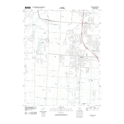 2009 Belton2009 Print · USGSThe Missouri-Kansas borderlands come into focus at a time of suburban growth and industrial activity. Trace local history through the Knoche Oil Field, established family grounds like Bryant Cemetery, and the rail corridors of the BNSF Railway.
 - 2009 Map of Drexel, 2009 Print
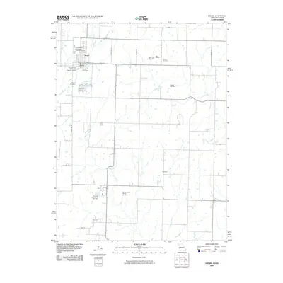 2009 Drexel2009 Print · USGSThe Missouri-Kansas borderlands at the end of the 2000s are captured here as a patchwork of small-town grids and private ranch lands. Family historians can locate West Point Cemetery and Edgewood Cemetery or trace landmarks like the Rocking Chair Ranch Lake Dam.
 - 2009 Map of West Line, 2009 Print
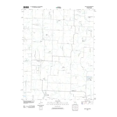 2009 West Line2009 Print · USGSCass County’s rural transitions are documented here at the turn of the decade, showing the residential growth surrounding Cleveland and West Line. Genealogists can trace family sites at Glenwild Cemetery or Frazee Cemetery while mapping landmarks like Lake Annette.
 - 2009 Map of Freeman, 2009 Print
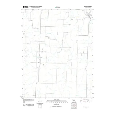 2009 Freeman2009 Print · USGSIn the early twenty-first century, this area near the Missouri-Kansas border shows a landscape of small towns and private aviation. Researchers can trace family history at Freeman Cemetery or locate old homesteads near the settlements of Freeman and Lisle.
 - 2011 Map of Raymore, 2011 Print
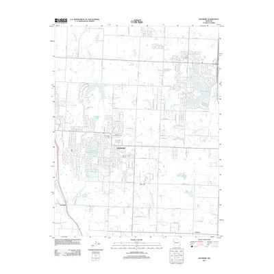 2011 Raymore2011 Print · USGSRaymore and its surrounding developments are captured in the early 2010s during a period of significant suburban expansion and water management. Genealogists and local historians can trace the community's footprint through the Raymore Cemetery, the Raymore International Airport, and the outlying settlement of Harrelson.
 - 2011 Map of Harrisonville, 2011 Print
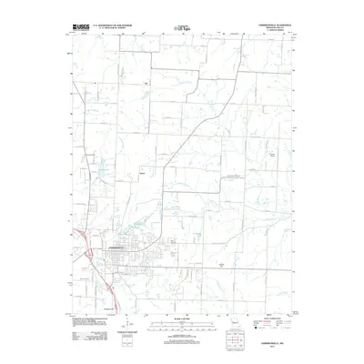 2011 Harrisonville2011 Print · USGSHarrisonville and its rural Cass County surroundings are captured here in the early twenty-first century as the city expanded into the rolling farmland. Researchers can locate family heritage sites like Harris Cemetery and Pitts Chapel Cemetery or trace the many branches of Polecat Creek.
 - 2011 Map of Creighton, 2011 Print
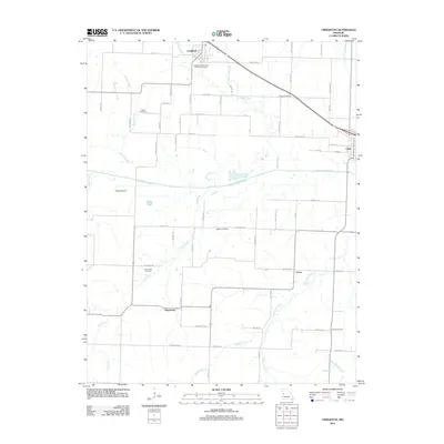 2011 Creighton2011 Print · USGSHenry County farmland and river bottoms are documented here in the early 21st century. Genealogists and local historians can trace family ties through Parker Cemetery, Fewel Cemetery, and the small communities of Creighton and Lucas.
 - 2011 Map of Strasburg, 2011 Print
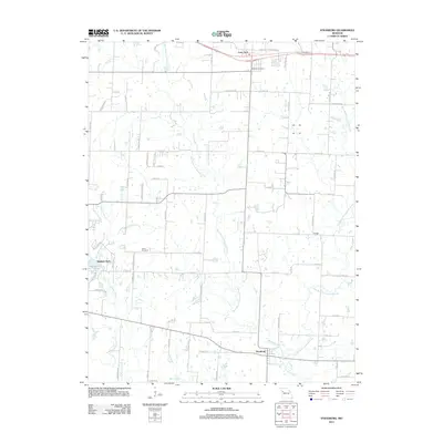 2011 Strasburg2011 Print · USGSMissouri's rural heartland is documented here in the early twenty-first century, showing the small-town footprints of Strasburg and Lone Jack. Genealogists and local historians can locate Soldiers Cemetery, Sloan Cemetery, and family-named landmarks like Skaggs.
 - 2011 Map of Freeman, 2011 Print
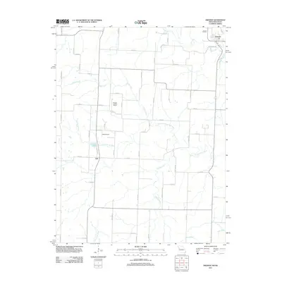 2011 Freeman2011 Print · USGSThe Missouri-Kansas borderlands are captured here in the early twenty-first century, showing a landscape defined by prairie creeks and rural hamlets. Researchers can trace local family lineages at Freeman Cemetery or explore the drainage of the South Fork South Grand River.
 - 2011 Map of Quick City, 2011 Print
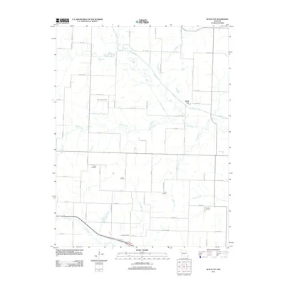 2011 Quick City2011 Print · USGSQuick City and the surrounding Missouri countryside are captured here in the early twenty-first century as a landscape of rural roads and winding creeks. Genealogists can locate several local burial grounds, such as Pemberton and Grant Cemetery, alongside the distinctive Old Channel Big Creek.
 - 2011 Map of Main City, 2011 Print
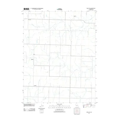 2011 Main City2011 Print · USGSBates County, Missouri, remains a landscape of quiet prairie settlements and meandering creeks in the early twenty-first century. Researchers can trace family history at Burdett Cemetery or locate old community centers like Burdett and Lacyville.
 - 2011 Map of Drexel, 2011 Print
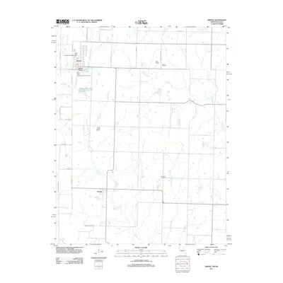 2011 Drexel2011 Print · USGSThe Missouri-Kansas borderlands come into focus in 2011 as the town of Drexel serves as a hub for the surrounding ranch and farmland. Genealogists and historians can trace family roots at West Point Cemetery and Sharon Cemetery or follow the waters of Miami Creek.
 - 2011 Map of Belton, 2011 Print
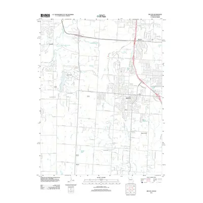 2011 Belton2011 Print · USGSThe Missouri-Kansas borderlands at the start of the 2010s show the growth of Belton and its surrounding residential communities. Researchers can locate family roots at Belton Cemetery or Woodland Cemetery and trace the legacy of local industry at the Knoche Oil Field.
 - 2011 Map of Kingsville, 2011 Print
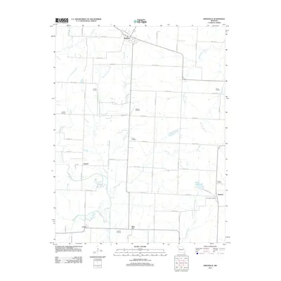 2011 Kingsville2011 Print · USGSIn the western Missouri countryside of the early 21st century, these agrarian lands remain defined by established family settlements and small hubs. Genealogists can trace local roots at Rose Hill Cemetery, Medford, and the Olive Hill Post Office along the creeks.
 - 2011 Map of East Lynne, 2011 Print
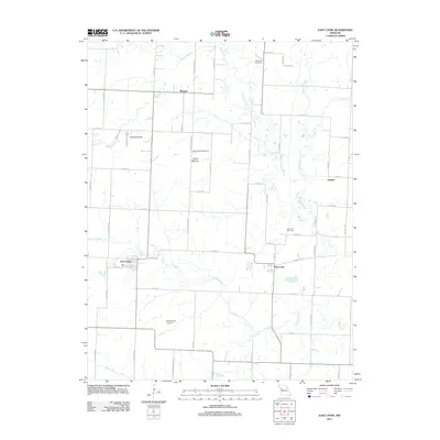 2011 East Lynne2011 Print · USGSThis rural Cass County landscape near the turn of the decade showcases the agricultural heart of Missouri. Genealogists and local historians can trace family connections through landmarks like Staley Mound Cemetery, the settlement of Gunn City, and Strasburg Cemetery.
 - 2011 Map of Everett, 2011 Print
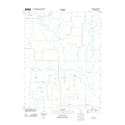 2011 Everett2011 Print · USGSMissouri's Cass County rural landscape is documented here in the early twenty-first century, centered on the South Grand River. Researchers can locate historic local landmarks like Moudy Cemetery, Zion School, and the distinctive Bieger Mound.
 - 2011 Map of Dayton, 2011 Print
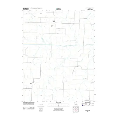 2011 Dayton2011 Print · USGSMissouri's rural river valleys and small farming communities are documented here in the early twenty-first century. Researchers can locate numerous family burial grounds and historical landmarks, such as Blackburn Cemetery, Leos Angus Ranch Airport, and the village of Dayton.
 - 2011 Map of Garden City, 2011 Print
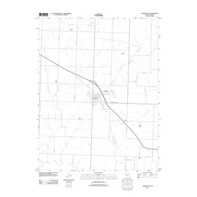 2011 Garden City2011 Print · USGSGarden City and its surrounding Cass County townships are shown here in the early twenty-first century as a landscape of rural schools and family cemeteries. Researchers can locate legacy sites like Number Eight School and Sugar Creek School or trace lineage at Martin Cemetery and Buckley Cemetery.
 - 2011 Map of Adrian, 2011 Print
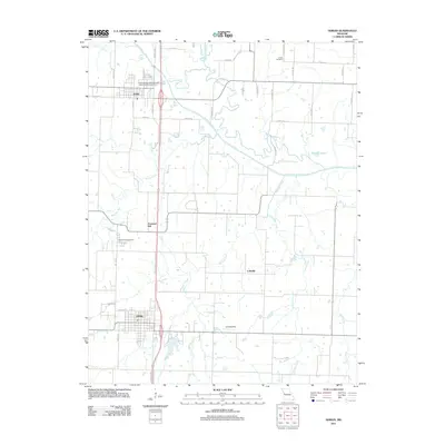 2011 Adrian2011 Print · USGSBates County agriculture and rural life are documented here in the early twenty-first century. Researchers can locate family landmarks such as Austin Cemetery, trace the winding South Grand River, or study the footprints of Adrian and Coleville.
 - 2011 Map of West Line, 2011 Print
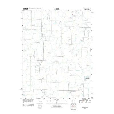 2011 West Line2011 Print · USGSMissouri's Cass County borderlands appear in detail during this era of rural development and small-town growth. Genealogists can locate family landmarks like Glenwild Cemetery and Frazee Cemetery while tracing the waters of the South Grand River and Lake Annette.
 - 2011 Map of Elm, 2011 Print
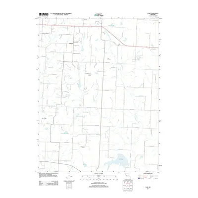 2011 Elm2011 Print · USGSThe rural uplands of Johnson County are shown here in the early 21st century, where the South Fork Blackwater River cuts through a landscape of family farms. Researchers can locate several historical burial sites including Basin Knob Cemetery, Underwood Cemetery, and Bluff Springs Cemetery.
 - 2012 Map of Austin, 2012 Print
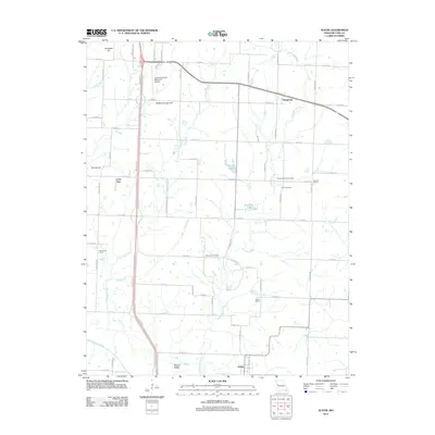 2012 Austin2012 Print · USGSCass County, Missouri, remains a landscape of quiet rural crossroads and family homesteads as seen in the early twenty-first century. Genealogists and local historians can trace old community anchors like Elm Branch School, Reed Cemetery, and the settlement of Daugherty.
 - 2012 Map of Pleasant Hill, 2012 Print
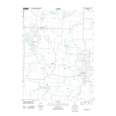 2012 Pleasant Hill2012 Print · USGSWestern Missouri residential growth and agricultural traditions meet in this 2012 survey of the area surrounding Pleasant Hill. Researchers can trace local heritage at Greenwood Cemetery or locate old school sites like Crossroads School and Lone Star School.
 - 2012 Map of Peculiar, 2012 Print
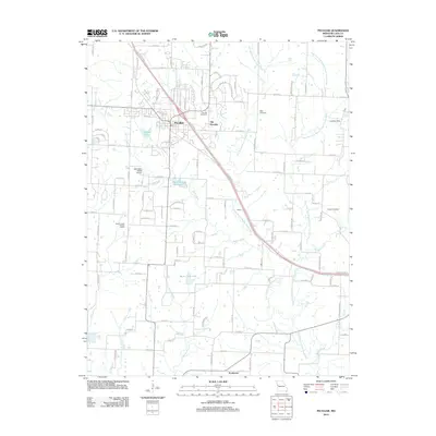 2012 Peculiar2012 Print · USGSIn the early twenty-first century, the Cass County landscape around Peculiar shows a blend of residential expansion and rural roots. Genealogists and historians can trace local family lineages at Wills Cemetery or locate the historic sites of Old Peculiar and Prettyman.
 - 2014 Map of Creighton, 2014 Print
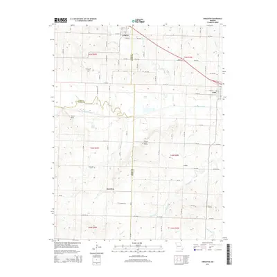 2014 Creighton2014 Print · USGSHenry and Cass counties are documented here in 2014, showing the rural Missouri landscape surrounding the South Grand River. Family historians can locate several rural burial grounds including Parker-Gregg Cemetery, Mullins Cemetery, and the community at Mayesburg.
Showing maps 1-25 of 84
Top cities of Cass County
- Belton historical maps
- Raymore historical maps
- Harrisonville historical maps
- Pleasant Hill historical maps
- Peculiar historical maps
- Garden City historical maps
See more
Frequently asked questions
- What are the different types of historical maps available for Cass County?
- What is the oldest map of Cass County?
- Where can I purchase historical maps of Cass County for my home or office?
- Where can I download high-res historical maps of Cass County?
- Are there historical topographic maps available for Cass County?
- Is there historical aerial imagery available for Cass County?
- Where are historical maps of Cass County sourced from?