2000s (21st Century) Maps of Dent County, Missouri
Explore 93 historic maps of Dent County from the 2000s (21st Century). These maps offer a rare glimpse into what life looked like during the 2000s — showing old roads, neighborhoods, homes, and landmarks that have changed or disappeared over time.
Whether you're researching your family's past, planning a metal detecting trip, or studying how Dent County's landscape evolved across the 2000s, these high-resolution maps are a powerful tool for exploring the history of this region.
- Focus on a specific era: All maps on this page are from the 2000s, giving you a focused view of this time period.
- See what’s changed: Compare century-old streets, trails, and buildings to today's modern landscape using overlays and satellite layers.
- Research with precision: Use these maps for genealogy, historical research, land use analysis, or educational projects.
- View, download, or print: Maps are fully viewable online in high resolution, and can be downloaded or printed for your own records.
Start exploring Dent County's history through authentic maps from the 2000s. This is your window into the past.
Dent County, MO maps
(93)- 2004 Map of Yancy Mills, 2006 Print
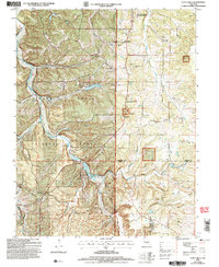 2004 Yancy Mills2006 Print · USGSThe Ozark highlands near the Phelps and Dent County line are captured here as they appeared in the early 2000s. Researchers can locate family landmarks such as the Brookshire Cem, Grayson Sch, and the site of the Moselle Mine.
 - 2011 Map of Short Bend, 2011 Print
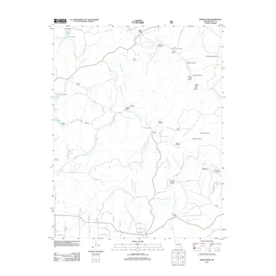 2011 Short Bend2011 Print · USGSDent County's river valleys are shown in detail during the early 21st century, centered on the Meramec River. Genealogists can trace family footprints across several rural burial grounds like Pryor Cemetery and historic river crossings such as Dent Ford.
 - 2011 Map of Montauk, 2011 Print
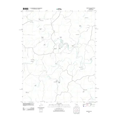 2011 Montauk2011 Print · USGSThe Ozark headwaters near the Current River are captured here in the early twenty-first century, centered on the natural springs and deep hollows of Texas County. Researchers can trace family names and local geography through Paterson Cemetery, Montauk State Park, and Ashley Creek.
 - 2011 Map of Licking, 2011 Print
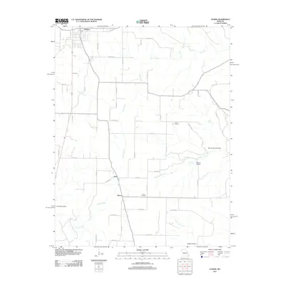 2011 Licking2011 Print · USGSTexas County rural life is captured in the early twenty-first century, showing the northern Missouri hills where the town of Licking meets the Ozark landscape. Researchers can locate family sites near Presser Cemetery and trace the paths of Bender Creek and Boone Creek.
 - 2011 Map of Seaton, 2011 Print
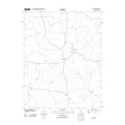 2011 Seaton2011 Print · USGSThe rural landscapes of Phelps County are detailed here in the early twenty-first century, showing the enduring structure of its hill country settlements. Genealogists and local historians can trace family roots at Asher Cemetery or Bell Cemetery and locate vanished footprints in Seaton and Winkler.
 - 2011 Map of Rhyse, 2011 Print
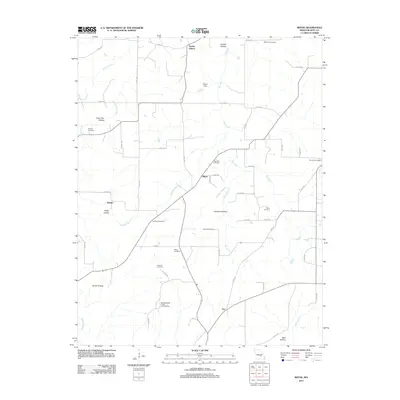 2011 Rhyse2011 Print · USGSDent County's rural heartland is preserved here in the early 2000s, showing a landscape of small settlements and family histories. Genealogists can trace ancestral sites at Campbell Cemetery, White Cemetery, and the community of Rhyse.
 - 2011 Map of Maples, 2011 Print
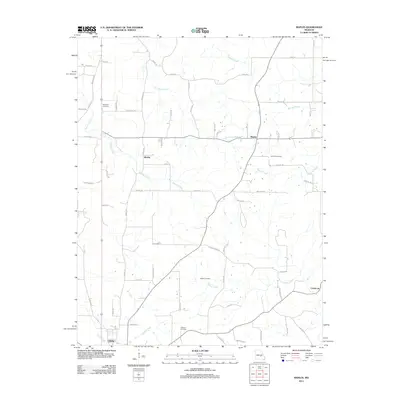 2011 Maples2011 Print · USGSThe rural landscapes of Texas County come into focus during the early twenty-first century, centered on the community of Licking. Genealogists can trace family landmarks and burial sites at Hutchison Cemetery, Concord Cemetery, and the small settlement of Maples.
 - 2011 Map of Yancy Mills, 2011 Print
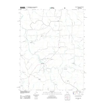 2011 Yancy Mills2011 Print · USGSPhelps County in the early twenty-first century remains defined by its deep hollows and the winding course of Little Piney Creek. Genealogists can trace family names through the Huskey Cemetery, Brookshire Cemetery, and the Yancy Mills Post Office.
 - 2011 Map of Darien, 2011 Print
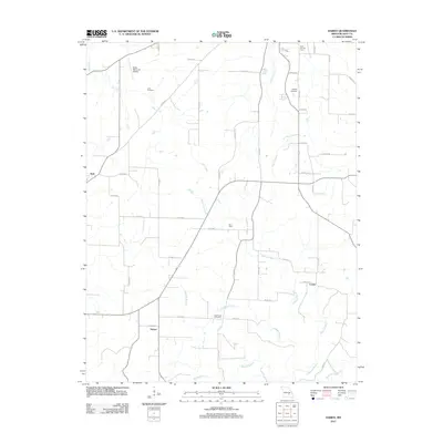 2011 Darien2011 Print · USGSIn the early twenty-first century, this Dent County landscape reveals a network of rural settlements and family landmarks. Genealogists and researchers can trace local connections through Love Cemetery, the Salem Memorial Airport, and the crossroads at Darien.
 - 2011 Map of Anutt, 2011 Print
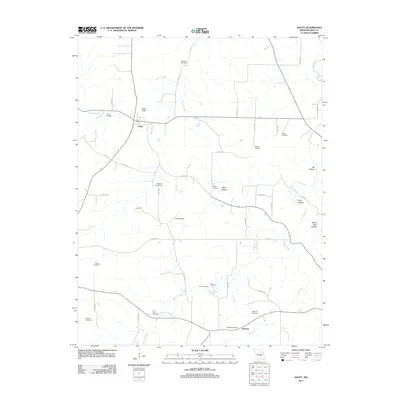 2011 Anutt2011 Print · USGSThe rural landscapes of Dent County are documented here in the early twenty-first century, showing the small settlements of Anutt and Hedrick. Family history researchers can locate numerous burial sites such as Bingham Cemetery, Edgar Cemetery, and Headrick Cemetery scattered among the hollows.
 - 2011 Map of Gladden, 2011 Print
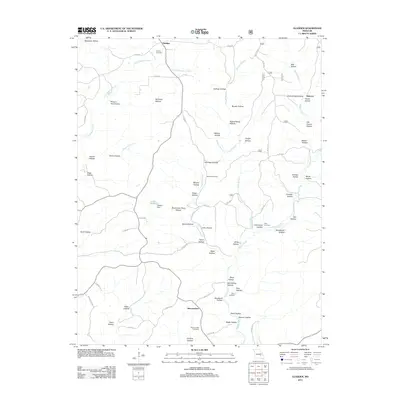 2011 Gladden2011 Print · USGSDent County’s rural Ozark landscape is preserved in the early twenty-first century, showing the enduring pattern of isolated settlements and family hollows. Researchers can trace ancestral lands through Empire Cemetery, the Deeken Dam area, and Shannondale.
 - 2011 Map of Cedargrove, 2011 Print
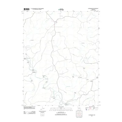 2011 Cedargrove2011 Print · USGSShannon County at the start of the decade reveals a landscape shaped by the Current River and the rural communities of the Ozarks. Genealogists can locate Halbrook Cemetery and Rector Cemetery, or trace family landmarks like Nichols Cabin and Maggard Cabin.
 - 2011 Map of Viburnum West, 2011 Print
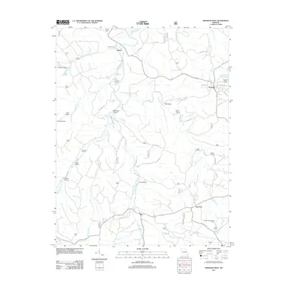 2011 Viburnum West2011 Print · USGSThe northern edge of the Missouri lead belt is captured here in the early twenty-first century, centered on the mining town of Viburnum. Researchers can trace local lineage through several rural burial grounds like Richards Cemetery and explore industrial sites such as the Moloc Smelter.
 - 2011 Map of Doss, 2011 Print
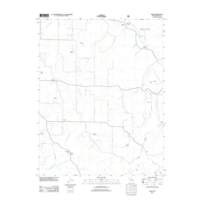 2011 Doss2011 Print · USGSDent County's rural crossroads and river valleys are captured here in the early twenty-first century. Genealogists can locate several family burial sites like McCarter Cemetery and Halbrook Cemetery or trace the winding course of the Meramec River.
 - 2011 Map of Salem, 2011 Print
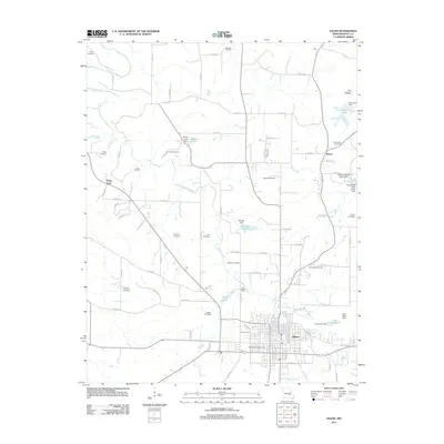 2011 Salem2011 Print · USGSSalem and its surrounding Dent County countryside are captured here in the early twenty-first century as the regional center for the Missouri Ozarks. Genealogists can locate specific family burial sites like Togleson Cemetery or Blackwell Cemetery and trace the waters of Spring Creek past Deep Ford.
 - 2012 Map of Lecoma, 2012 Print
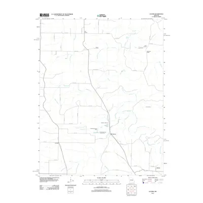 2012 Lecoma2012 Print · USGSSmall Ozark communities and family burial grounds are preserved in this 2012 Missouri survey. Genealogists and local historians can trace the rural landscape surrounding Lecoma, locating Matlock Cemetery, Lake Spring, and the waters of Hyer Branch.
 - 2012 Map of Cherryville, 2012 Print
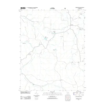 2012 Cherryville2012 Print · USGSCrawford County at the start of the 2010s shows a landscape of deep hollows and family-named landmarks. Genealogists and local historians can locate several rural burial grounds like Wilkinson Cemetery and the site of the Earney Mill.
 - 2012 Map of Stone Hill, 2012 Print
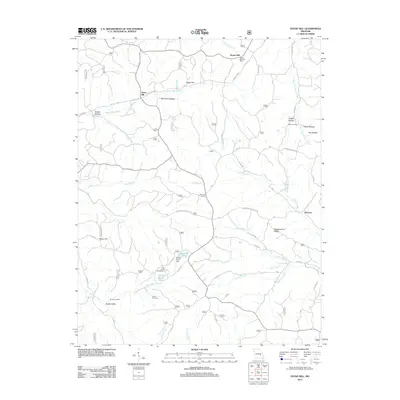 2012 Stone Hill2012 Print · USGSThe Dent County hills are mapped in the early twenty-first century, showing a landscape of deep hollows and creek-side settlements. Genealogists and historians can locate Howes Mill, Stone Hill, and family sites like Scotia Cemetery or Parker Cemetery.
 - 2012 Map of Loggers Lake, 2012 Print
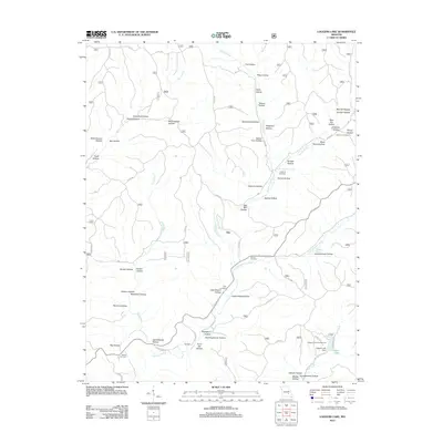 2012 Loggers Lake2012 Print · USGSThe rural landscape near Gila is captured here in the early twenty-first century, showing a region defined by family cemeteries and intricate Ozark hollows. Genealogists and hikers can trace the paths to Hanning Cemetery, Highley Spring, and the waters of Loggers Lake.
 - 2012 Map of Edgar Springs, 2012 Print
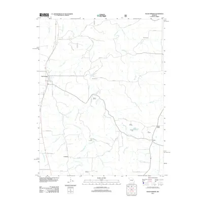 2012 Edgar Springs2012 Print · USGSEdgar Springs and the surrounding Phelps County highlands are documented here during the early twenty-first century. Genealogists can trace family heritage through numerous sites like Kitchen Cemetery, Enke Cemetery, and the settlement at Craddock.
 - 2012 Map of Cook Station, 2012 Print
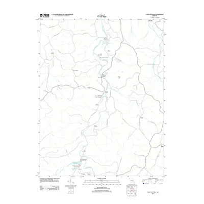 2012 Cook Station2012 Print · USGSThe Meramec River valley comes to life in this recent study of Crawford County, showing a network of small settlements and family cemeteries. Researchers can locate Goltra Ford, trace ancestral roots at Wesco Cemetery, or explore the terrain around Lost Mountain.
 - 2012 Map of Bunker, 2012 Print
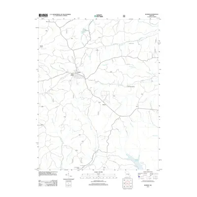 2012 Bunker2012 Print · USGSBunker and its neighboring hollows are shown in this modern survey of the Missouri Ozarks. Genealogists and researchers can locate Estep Cemetery, trace the waters of Bee Fork, or find the Bunker Lookout Tower overlooking the hills.
 - 2012 Map of Howes Mill Spring, 2012 Print
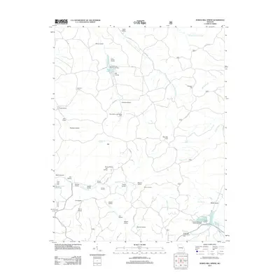 2012 Howes Mill Spring2012 Print · USGSThe wooded hollows and headwaters of Dent County come into focus in the early 21st century near the settlement of Ark. Genealogists can locate family landmarks like Mounce Cemetery, while conservationists can trace the waters of Howes Mill Spring and Indian Trail State Forest Lake.
 - 2012 Map of Greeley, 2012 Print
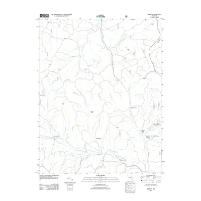 2012 Greeley2012 Print · USGSReynolds County in the early 2010s shows a landscape where industrial mining infrastructure meets quiet Ozark settlements. Genealogists and hikers can trace old family sites like Camden Cemetery or follow the paths of Henpeck Creek and Bills Creek.
 - 2015 Map of Yancy Mills, 2015 Print
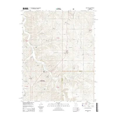 2015 Yancy Mills2015 Print · USGSThe Phelps and Dent County line in the mid-2010s reveals a landscape deeply connected to its early families and forest springs. Genealogists can locate over a dozen burial grounds including the Wright Slave Cemetery and Old Philadelphia Baptist Church/Fore Cemetery.
Showing maps 1-25 of 93
Top cities of Dent County
Frequently asked questions
- What are the different types of historical maps available for Dent County?
- What is the oldest map of Dent County?
- Where can I purchase historical maps of Dent County for my home or office?
- Where can I download high-res historical maps of Dent County?
- Are there historical topographic maps available for Dent County?
- Is there historical aerial imagery available for Dent County?
- Where are historical maps of Dent County sourced from?