2020s Maps of Madison County, Missouri
Explore 17 historic maps of Madison County from the 2020s. These maps offer a rare glimpse into what life looked like during the 2020s — showing old roads, neighborhoods, homes, and landmarks that have changed or disappeared over time.
Whether you're researching your family's past, planning a metal detecting trip, or studying how Madison County's landscape evolved across the 2020s, these high-resolution maps are a powerful tool for exploring the history of this region.
- Focus on a specific era: All maps on this page are from the 2020s, giving you a focused view of this time period.
- See what’s changed: Compare century-old streets, trails, and buildings to today's modern landscape using overlays and satellite layers.
- Research with precision: Use these maps for genealogy, historical research, land use analysis, or educational projects.
- View, download, or print: Maps are fully viewable online in high resolution, and can be downloaded or printed for your own records.
Start exploring Madison County's history through authentic maps from the 2020s. This is your window into the past.
Madison County, MO maps
(17)- 2021 Map of Lake Killarney, 2021 Print
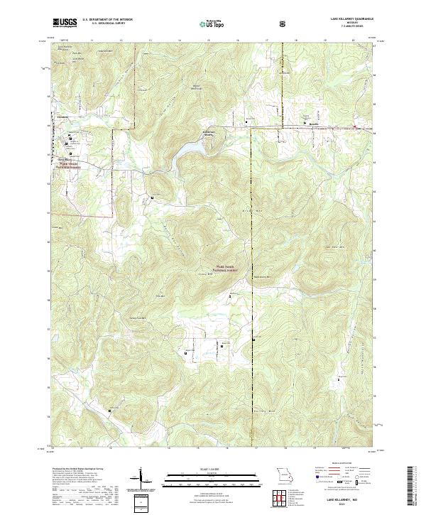 2021 Lake Killarney2021 Print · USGSThe Saint Francois Mountains of the Missouri Ozarks come alive on this recent survey of the Ironton and Arcadia area. Genealogists can trace family names across a dozen burial sites like Roselle Graniteview Cem and Sutton Cem, or locate landmarks such as Sunny Slope Spring and Wagon Wheel Gap.
 - 2021 Map of Cherokee Pass, 2021 Print
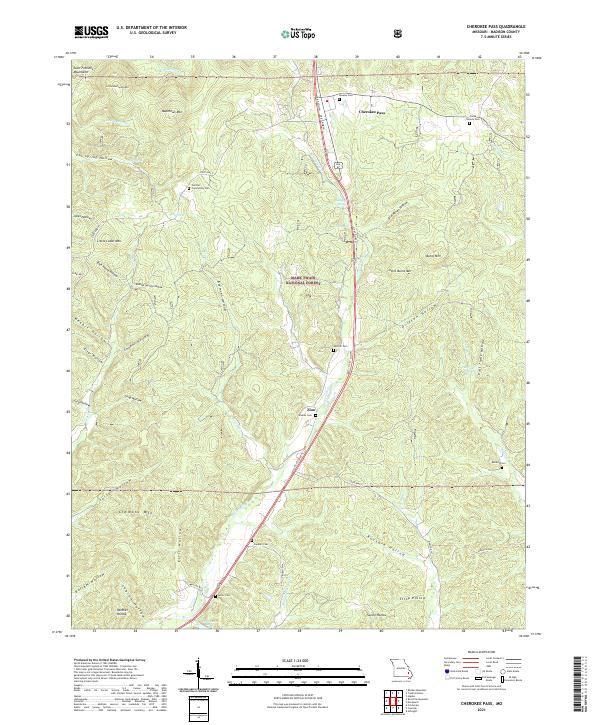 2021 Cherokee Pass2021 Print · USGSMadison County's southeastern uplands are documented here in the modern era, showing the intersection of mountain terrain and rural tradition. Genealogists can trace family sites at Barber Cem, Sanders Cem, and the settlement of Zion.
 - 2021 Map of Des Arc NE, 2021 Print
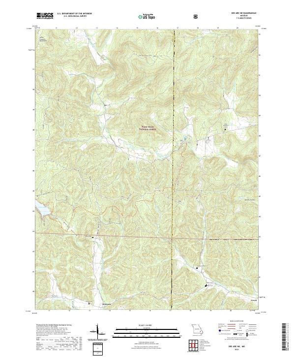 2021 Des Arc NE2021 Print · USGSIron and Madison Counties are captured here in the early 2020s, showcasing a landscape of high ridges and secluded hollows. Genealogists can locate several remote burying grounds like Kelley Cem and Davis Cem, while following the waters of Marble Creek.
 - 2021 Map of Marquand, 2021 Print
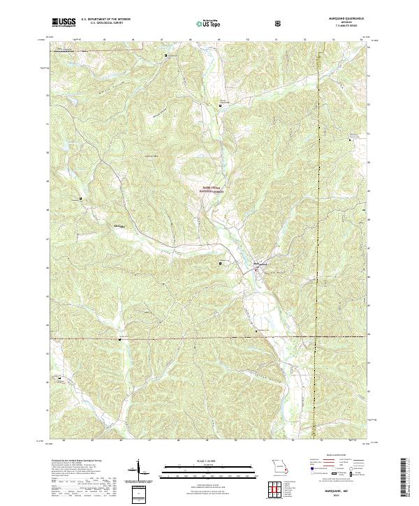 2021 Marquand2021 Print · USGSThe Marquand area and its surrounding forest lands appear here in the early 2020s, showing a landscape defined by the Upper Castor River. Genealogists can trace family burial sites like Pine Union Church Cem and Mouser Cem near the town of Marquand.
 - 2021 Map of Wachita Mountain, 2021 Print
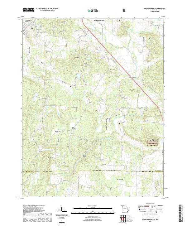 2021 Wachita Mountain2021 Print · USGSThe foothills of the Saint Francois Mountains in the early twenty-first century reveal a landscape of family-named peaks and hidden cemeteries. Genealogists can trace sites like Doe Run Memorial Cem and Herbst Cem near the old settlement at Doe Run.
 - 2021 Map of Fredericktown, 2021 Print
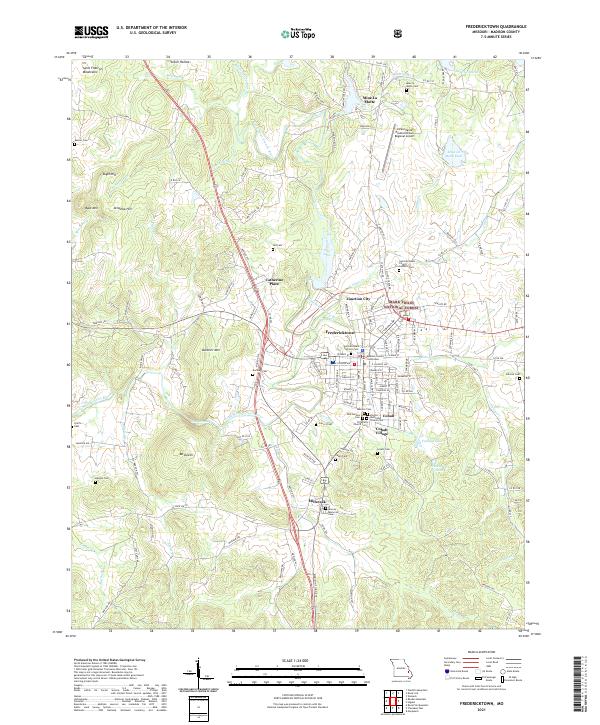 2021 Fredericktown2021 Print · USGSFredericktown and the surrounding Missouri Ozark foothills are captured here in the early twenty-first century. Researchers can locate numerous family burial grounds like Kessler Cem and Masonic Cem, or trace the historic mining landscape around Mine La Motte.
 - 2021 Map of Cascade, 2021 Print
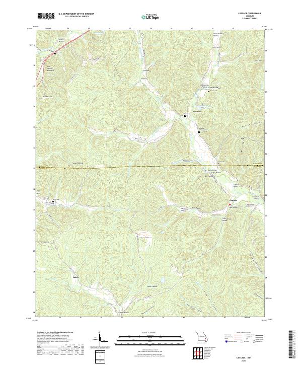 2021 Cascade2021 Print · USGSMadison and Wayne Counties are shown in the early twenty-first century, revealing a landscape of high Ozark ridges and deeply incised hollows. Genealogists can locate several family burial grounds like Graham Cem and Berry Cem near the communities of Gravelton and Buckhorn.
 - 2021 Map of Higdon, 2021 Print
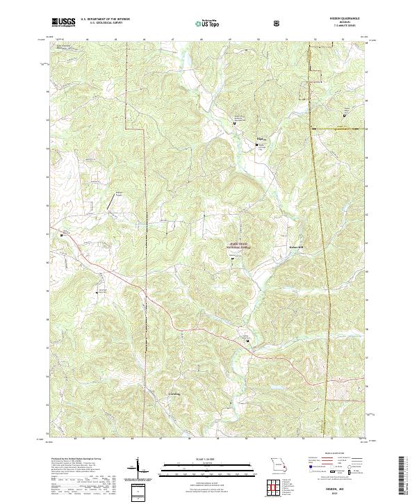 2021 Higdon2021 Print · USGSMadison County's eastern uplands are shown in detail here during the early twenty-first century, revealing a landscape of forested ridges and river valleys. Genealogists can trace family names at the Underwood Cem, Timber Ridge Cem, and the old settlement of Higdon.
 - 2021 Map of Rock Pile Mountain, 2021 Print
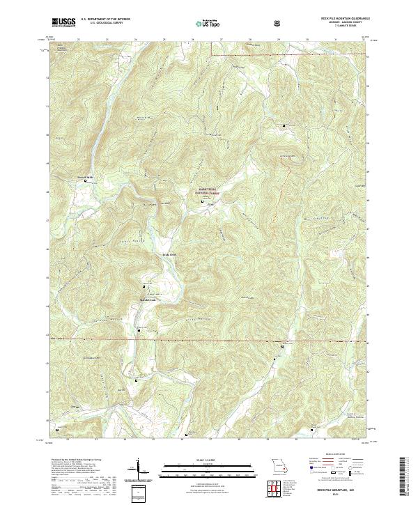 2021 Rock Pile Mountain2021 Print · USGSMadison County, Missouri, is shown here as it appears in the modern era, preserving the traditional names of its mountain hollows and river crossings. Genealogists can locate several remote burial sites like Captains Creek Cem and old settlements such as French Mills.
 - 2021 Map of Allbright, 2021 Print
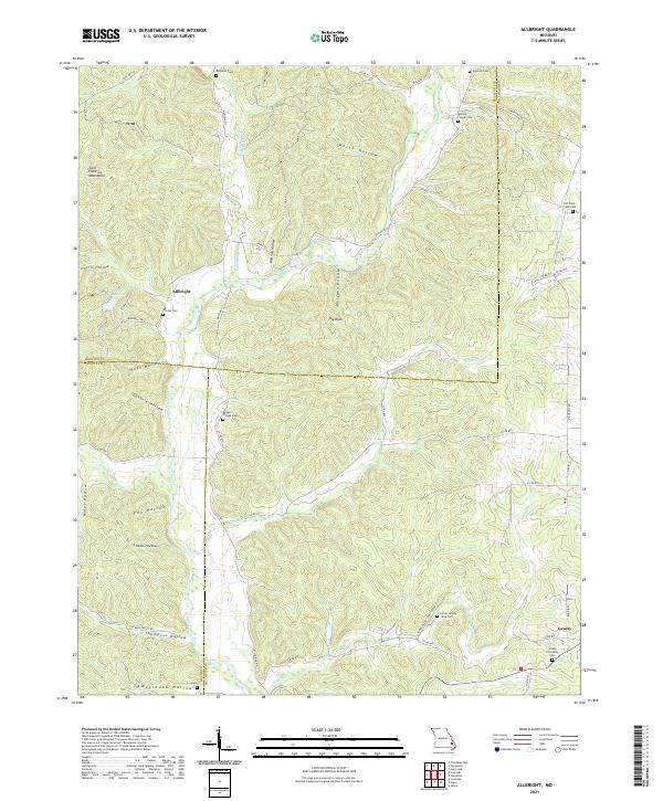 2021 Allbright2021 Print · USGSThe foothills of the Missouri Ozarks are captured here in the early twenty-first century, showcasing the rural landscapes of Madison and Bollinger Counties. Researchers can find numerous ancestral burial sites like Moores Chapel Cem and Old Trace Creek Cem tucked away near the Upper Castor River.
 - 2021 Map of Womack, 2021 Print
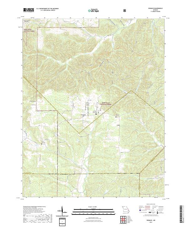 2021 Womack2021 Print · USGSSoutheast Missouri's mountain landscape is captured here in the early twenty-first century as it spans the borders of Ste. Genevieve, St. Francois, and Madison counties. Genealogists can locate family sites at the Silver Point Union Church Cem or trace the early paths of Old Jackson Rd and the Upper Castor River.
 - 2021 Map of Rhodes Mountain, 2021 Print
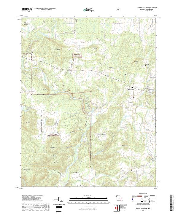 2021 Rhodes Mountain2021 Print · USGSThe Saint Francois Mountains of Madison County are shown here in the 2020s, dominated by the winding river forks and the dense forest of the Ozarks. Researchers can trace family history through sites like Creek Nation, Oak Grove Cem, and the Silver Mines Dam.
 - 2021 Map of Iron Mountain Lake, 2021 Print
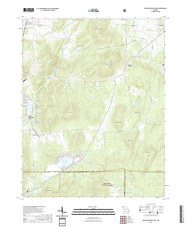 2021 Iron Mountain Lake2021 Print · USGSThe eastern Saint Francois Mountains come into focus in this recent survey of the Missouri Ozarks. Genealogists and historians can locate German Cem, Mineral City, and the residential layout of Iron Mountain Lake alongside peaks like Bread Tray Mtn.
 - 2021 Map of Brunot, 2021 Print
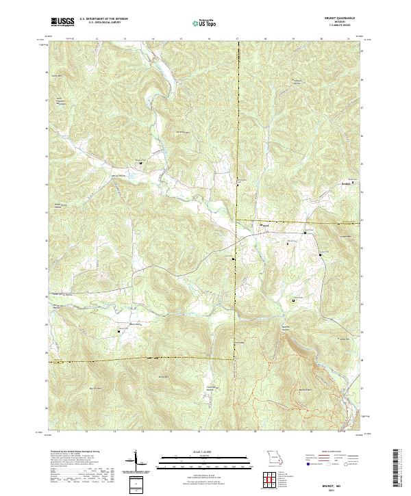 2021 Brunot2021 Print · USGSThe Missouri Ozarks are showcased at the meeting point of Iron, Madison, and Wayne counties in the early 2020s. Genealogists can locate several small family burial sites like Lucy Cem and Nichols Cem tucked between Des Arc Mtn and Big Creek.
 - 2021 Map of Knob Lick, 2021 Print
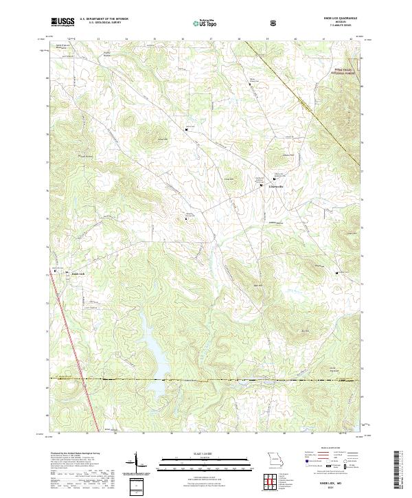 2021 Knob Lick2021 Print · USGSThe hills of St. Francois County come alive in this contemporary survey of the area around Libertyville and Knob Lick. Researchers can pinpoint family history at the Sebastian Family Cem or trace the winding course of the Little Saint Francis River.
 - 2021 Map of Coldwater, 2021 Print
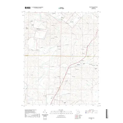 2021 Coldwater2021 Print · USGSThe Madison and Wayne county line intersects this Missouri landscape as it appeared in the early 21st century, centered on the Saint Francis River. Researchers can trace family ties and old homesteads through numerous landmarks like Saco, Whitener Cem, and Sutton Cem.
 - 2023 Map of Coldwater, 2023 Print
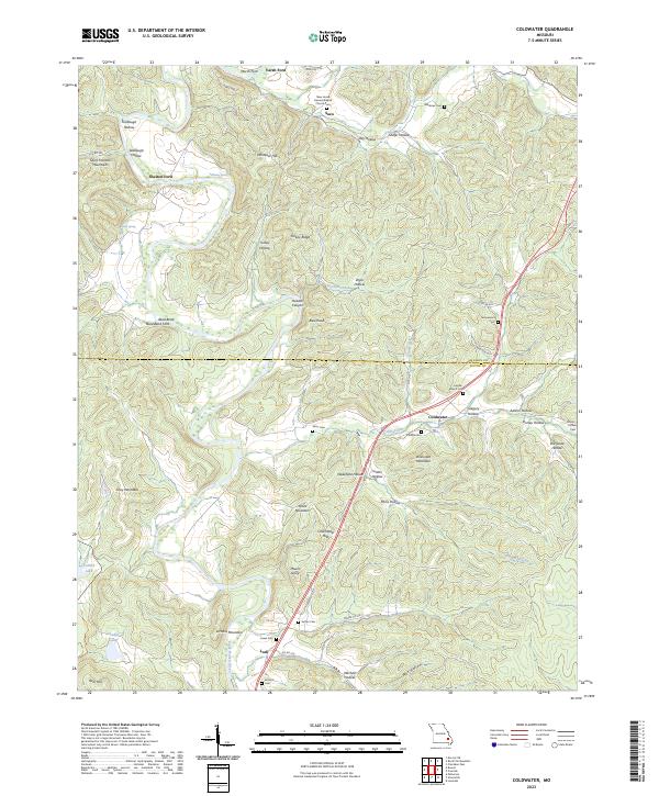 2023 Coldwater2023 Print · USGSThe foothills of the Saint Francois Mountains come alive in this survey of the Madison and Wayne County border. Genealogists can trace family footprints at New Home General Baptist Church-Cem, Saco, and Reed Bend Ford.
End of results
Showing maps 1-17 of 17
Top cities of Madison County
Frequently asked questions
- What are the different types of historical maps available for Madison County?
- What is the oldest map of Madison County?
- Where can I purchase historical maps of Madison County for my home or office?
- Where can I download high-res historical maps of Madison County?
- Are there historical topographic maps available for Madison County?
- Is there historical aerial imagery available for Madison County?
- Where are historical maps of Madison County sourced from?