2010s Maps of Madison County, Missouri
Explore 48 historic maps of Madison County from the 2010s. These maps offer a rare glimpse into what life looked like during the 2010s — showing old roads, neighborhoods, homes, and landmarks that have changed or disappeared over time.
Whether you're researching your family's past, planning a metal detecting trip, or studying how Madison County's landscape evolved across the 2010s, these high-resolution maps are a powerful tool for exploring the history of this region.
- Focus on a specific era: All maps on this page are from the 2010s, giving you a focused view of this time period.
- See what’s changed: Compare century-old streets, trails, and buildings to today's modern landscape using overlays and satellite layers.
- Research with precision: Use these maps for genealogy, historical research, land use analysis, or educational projects.
- View, download, or print: Maps are fully viewable online in high resolution, and can be downloaded or printed for your own records.
Start exploring Madison County's history through authentic maps from the 2010s. This is your window into the past.
Madison County, MO maps
(48)- 2011 Map of Rock Pile Mountain, 2011 Print
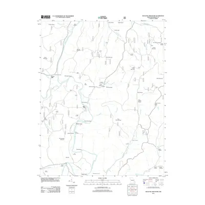 2011 Rock Pile Mountain2011 Print · USGSMadison County at the start of the 2010s reveals a landscape defined by the Saint Francis River and its many namesake hollows. Genealogists and hikers can locate old burial sites like Brewington Cemetery or trace river crossings at Wide Ford and Varsh Ford.
 - 2011 Map of Lake Killarney, 2011 Print
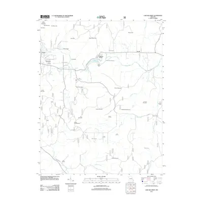 2011 Lake Killarney2011 Print · USGSThe Missouri Ozarks are captured here during a time of rural stability and local growth. Researchers can find numerous family burial grounds including Rebel Cemetery and Blanton Cemetery, or trace the waters of Stouts Creek past the community of Roselle.
 - 2011 Map of Womack, 2011 Print
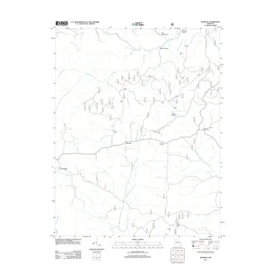 2011 Womack2011 Print · USGSThe rural landscape of Ste. Genevieve County is documented here in the early twenty-first century, centered on the community of Womack. Genealogists and local historians can locate the McDowell Cemetery and trace the paths of Upper Castor River or the Whitewater Lookout Tower.
 - 2011 Map of Fredericktown, 2011 Print
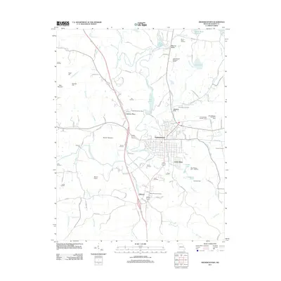 2011 Fredericktown2011 Print · USGSMadison County at the start of the 2010s reveals a landscape where historical mining and rural life intersect. Genealogists and local historians can trace family ties at Mine La Motte Cemetery and Marcus Memorial Cemetery or explore settlements like Cobalt Village and Catherine Place.
 - 2011 Map of Iron Mountain Lake, 2011 Print
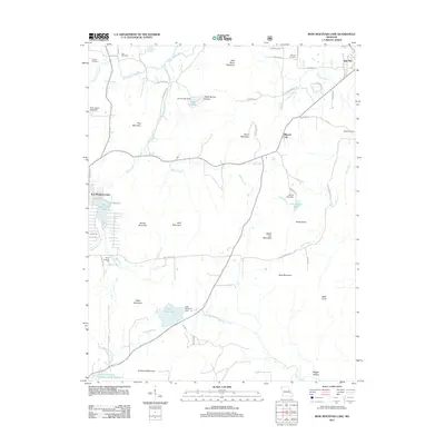 2011 Iron Mountain Lake2011 Print · USGSSaint Francois County enters the new millennium with its industrial roots and upland topography clearly mapped. Genealogists and local historians can trace family ties through German Cemetery, the streets of Mineral City, and the Pilot Knob Pellet Company Lake Number 2.
 - 2011 Map of Wachita Mountain, 2011 Print
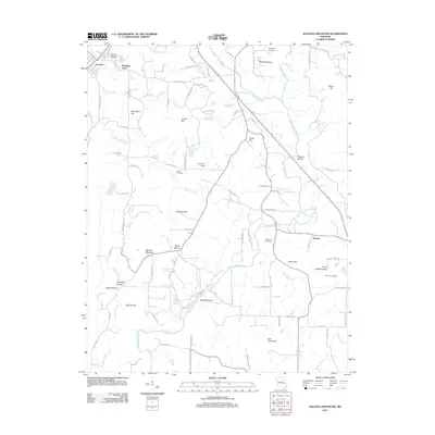 2011 Wachita Mountain2011 Print · USGSSaint Francois County hills and hollows are documented in the early twenty-first century, showing a landscape defined by granite peaks and river valleys. Genealogists can locate Doe Run Memorial Cemetery and Syenite, while hikers and historians can trace routes to the Knob Lick Lookout.
 - 2011 Map of Rhodes Mountain, 2011 Print
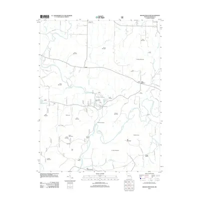 2011 Rhodes Mountain2011 Print · USGSMadison County at the turn of the decade reveals a landscape where Ozark mining history and family settlements converge. Genealogists and researchers can trace local landmarks like Creek Nation, Silver Mine, and family burial sites such as Royer Cemetery.
 - 2011 Map of Cascade, 2011 Print
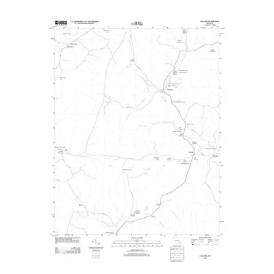 2011 Cascade2011 Print · USGSMadison County's rugged creek forks and timbered ridges are recorded here in the early twenty-first century. Genealogists and local historians can trace family land near Gravelton, Twelvemile, and numerous burial sites like the Old Mount Pisgah Cemetery.
 - 2011 Map of Knob Lick, 2011 Print
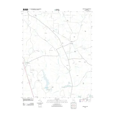 2011 Knob Lick2011 Print · USGSSaint Francois County remains a landscape of hill-country settlements and family homesteads as seen in the early twenty-first century. Genealogists can trace local roots through the Wesley Chapel Cemetery and Simpson Cemetery, or locate old landmarks like Libertyville and Knob Lick.
 - 2011 Map of Allbright, 2011 Print
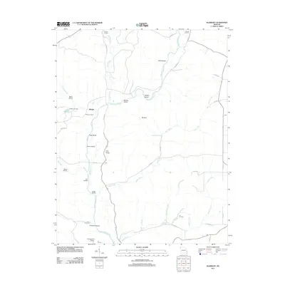 2011 Allbright2011 Print · USGSMadison County, Missouri, at the start of the 2010s shows a landscape of river-carved hollows and small rural settlements. Family historians can trace local roots through numerous burial sites and landmarks like Kinder Chapel Cemetery, Allbright, and Lake Wopalänne.
 - 2011 Map of Brunot, 2011 Print
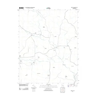 2011 Brunot2011 Print · USGSThe rural Ozark settlements of Brunot and Beulah are shown here as they appeared in the early 21st century. Genealogists can trace family footprints through numerous burial sites like Lucy Cemetery and roads such as Dave Deboard Rd.
 - 2011 Map of Coldwater, 2011 Print
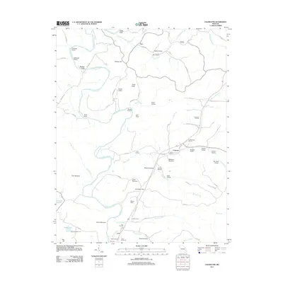 2011 Coldwater2011 Print · USGSMadison County's river valleys and ridge systems are documented here during the early twenty-first century. Genealogists and local researchers can locate numerous family burial sites like Whitner Cemetery and Sutton Cemetery, or trace the winding path of the Saint Francis River.
 - 2011 Map of Des Arc NE, 2011 Print
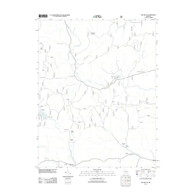 2011 Des Arc NE2011 Print · USGSMadison County at the turn of the decade is a landscape of high ridges and deep family history. Genealogists can trace local roots through several burial sites like Davis Cemetery and Kelley Cemetery near the settlement of Jewett.
 - 2011 Map of Higdon, 2011 Print
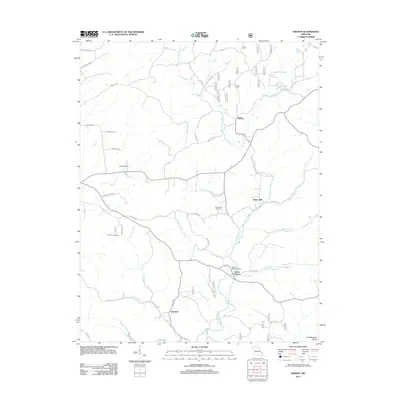 2011 Higdon2011 Print · USGSMadison County and the foothills of the Southeastern Ozarks are captured here just after the turn of the millennium. Researchers can locate the small settlements of Higdon and Cornwall, alongside family cemeteries like Underwood Cemetery and Peterman Cemetery.
 - 2011 Map of Marquand, 2011 Print
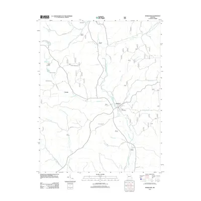 2011 Marquand2011 Print · USGSMadison County at the start of the 2010s shows a landscape of river valleys and mountain ridges shaped by the Upper Castor River. Genealogists can locate family burial sites at Stephens Cemetery and Whitener Cemetery or trace old routes through Dog Trot Hollow.
 - 2011 Map of Cherokee Pass, 2011 Print
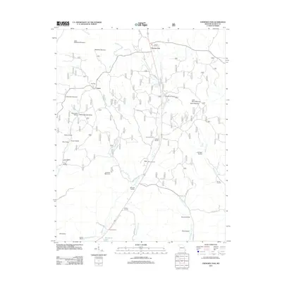 2011 Cherokee Pass2011 Print · USGSMadison County in the early twenty-first century remains a landscape of high ridges and quiet creek valleys. Genealogists and local historians can trace family roots through several burial grounds such as Revelle Cemetery and Sanders Cemetery or locate old community hubs at Cherokee Pass and Zion.
 - 2015 Map of Rock Pile Mountain, 2015 Print
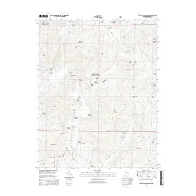 2015 Rock Pile Mountain2015 Print · USGSThe Saint Francois Mountains in Madison County were a landscape of isolated hollows and family cemeteries in the early twenty-first century. Genealogists can trace local heritage through sites like French Mills, Captain Creek Cemetery, and Jewett Cemetery.
 - 2015 Map of Cascade, 2015 Print
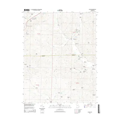 2015 Cascade2015 Print · USGSThe eastern Ozarks at the Madison and Wayne County border are shown in detail here during the mid-2010s. Genealogists can trace family heritage through numerous remote burial grounds like Old Mount Pisgah Cemetery, Dixon-Sutton Cemetery, and Huffman-McKelvey Cemetery.
 - 2015 Map of Coldwater, 2015 Print
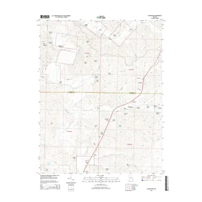 2015 Coldwater2015 Print · USGSMadison and Wayne Counties are captured in this mid-2010s survey, showing the deep hollows and river bends of the Missouri Ozarks. Researchers can locate family burial sites like Antioch Cemetery and trace old routes through Saco and Lodi.
 - 2015 Map of Iron Mountain Lake, 2015 Print
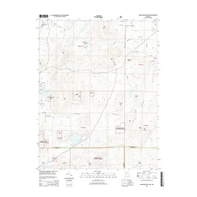 2015 Iron Mountain Lake2015 Print · USGSIn the Missouri Ozarks during the mid-2010s, this area maintains its rural character along the winding Saint Francis River. Genealogists and local historians can locate the community of Mineral City and trace the modern road network across the county landscape.
 - 2015 Map of Knob Lick, 2015 Print
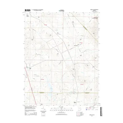 2015 Knob Lick2015 Print · USGSSoutheast Missouri's mining and forest lands are detailed here during the mid-2010s, centered on the historic Knob Lick area. Researchers can locate numerous family cemeteries such as Harris Cemetery and trace the paths of the Little Saint Francis River and Little Rock Cr.
 - 2015 Map of Brunot, 2015 Print
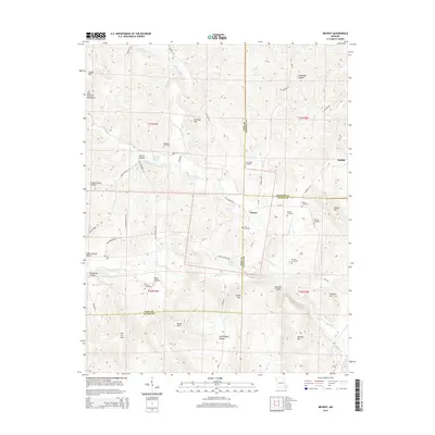 2015 Brunot2015 Print · USGSThe borderlands of Iron, Madison, and Wayne counties come into focus in this recent survey of the Missouri Ozarks. Researchers can trace family history through numerous burial sites like Lucy Cemetery and Morris Cemetery or locate landmarks like Des Arc Mtn.
 - 2015 Map of Wachita Mountain, 2015 Print
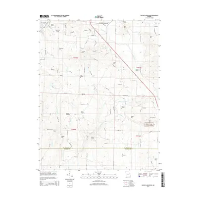 2015 Wachita Mountain2015 Print · USGSThe eastern Saint Francois Mountains are documented here in the mid-2010s, showing a landscape defined by high timbered ridges and river valleys. Researchers can trace local history through sites like Syenite, Hamilton Town, and family cemeteries including Weiss Cemetery.
 - 2015 Map of Allbright, 2015 Print
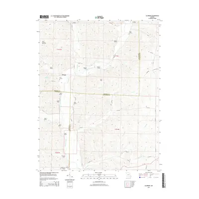 2015 Allbright2015 Print · USGSMadison and Bollinger counties meet in this Missouri landscape during the mid-2010s, showing a region of high ridges and rural homesteads. Genealogists can locate numerous local burial sites including Rickman, Kinder Chapel, and Ivy Cemetery.
 - 2015 Map of Womack, 2015 Print
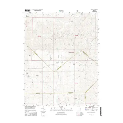 2015 Womack2015 Print · USGSThe foothills of the Saint Francois Mountains appear here in detail, centered on the rural communities of Womack and Cross Roads. Researchers can trace old family burial sites at McDowell Cemetery or follow the headwaters of the Upper Castor River through the Mark Twain National Forest.
Showing maps 1-25 of 48
Top cities of Madison County
Frequently asked questions
- What are the different types of historical maps available for Madison County?
- What is the oldest map of Madison County?
- Where can I purchase historical maps of Madison County for my home or office?
- Where can I download high-res historical maps of Madison County?
- Are there historical topographic maps available for Madison County?
- Is there historical aerial imagery available for Madison County?
- Where are historical maps of Madison County sourced from?