2020s Maps of Beaverhead County, Montana
Explore 288 historic maps of Beaverhead County from the 2020s. These maps offer a rare glimpse into what life looked like during the 2020s — showing old roads, neighborhoods, homes, and landmarks that have changed or disappeared over time.
Whether you're researching your family's past, planning a metal detecting trip, or studying how Beaverhead County's landscape evolved across the 2020s, these high-resolution maps are a powerful tool for exploring the history of this region.
- Focus on a specific era: All maps on this page are from the 2020s, giving you a focused view of this time period.
- See what’s changed: Compare century-old streets, trails, and buildings to today's modern landscape using overlays and satellite layers.
- Research with precision: Use these maps for genealogy, historical research, land use analysis, or educational projects.
- View, download, or print: Maps are fully viewable online in high resolution, and can be downloaded or printed for your own records.
Start exploring Beaverhead County's history through authentic maps from the 2020s. This is your window into the past.
Beaverhead County, MT maps
(288)- 2020 Map of Paul Reservoir, 2020 Print
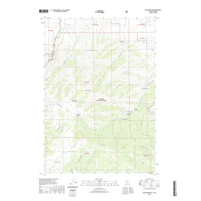 2020 Paul Reservoir2020 Print · USGSHigh in the Beaverhead Mountains during the early twenty-first century, the Continental Divide marks the boundary between Montana and Idaho. Researchers can trace the path of the Continental Divide National Scenic Trail past remote landmarks like Paul Reservoir and Lone Pine Spring.
 - 2020 Map of Goat Mountain, 2020 Print
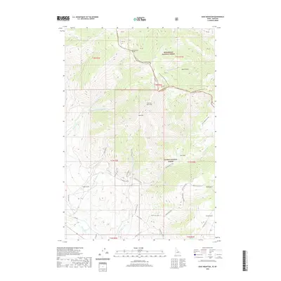 2020 Goat Mountain2020 Print · USGSThe high ridges of the Idaho-Montana border are captured here in the years following the turn of the millennium. Hikers and historians can trace the Continental Divide National Scenic Trail, locate the Buckhorn Mine, and follow the headwaters of the Lemhi River.
 - 2020 Map of Shewag Lake, 2020 Print
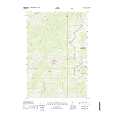 2020 Shewag Lake2020 Print · USGSThe high crest of the Bitterroot range serves as a natural boundary in 2020, where Idaho and Montana meet along the Continental Divide. Researchers can trace the path of the Continental Divide National Scenic Trail past peaks like Eagle Mtn and the waters of Shewag Lake.
 - 2020 Map of Edie Creek, 2020 Print
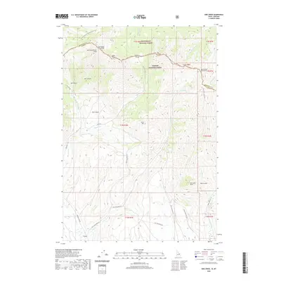 2020 Edie Creek2020 Print · USGSThe high ridgelines of the Montana-Idaho border are captured here in the years following the millennium. Genealogists and local historians can trace the remote settlement of Argora or follow the Continental Divide National Scenic Trail through Beaverhead National Forest.
 - 2020 Map of Scott Peak, 2020 Print
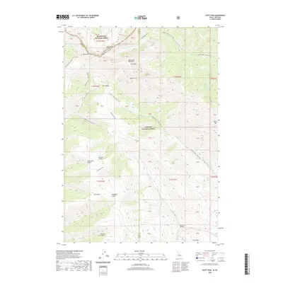 2020 Scott Peak2020 Print · USGSThe high crests of the Beaverhead Mountains define this 2020 survey of the Montana-Idaho border within the Beaverhead National Forest. Geographers and outdoorsmen can trace the Continental Divide across rugged summits like Scott Peak and through deep incisions like Scott Canyon.
 - 2020 Map of Big Table Mountain, 2020 Print
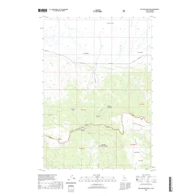 2020 Big Table Mountain2020 Print · USGSThe high ridges of the Centennial Mountains define the border between Montana and Idaho in this 2020 survey. Outdoor enthusiasts and researchers can trace the Continental Divide National Scenic Trail as it passes landmarks like Big Table Mtn and Mule Meadows.
 - 2020 Map of Fritz Peak, 2020 Print
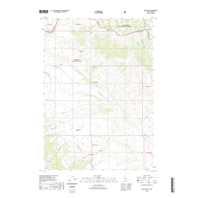 2020 Fritz Peak2020 Print · USGSThe high crest of the Beaverhead Mountains marks the state line in this 2020 survey of the Montana-Idaho border. Researchers can trace historical routes through Bannack Pass and follow the high-altitude Emigrant Trail Rd across the divide.
 - 2020 Map of Sawtell Peak, 2020 Print
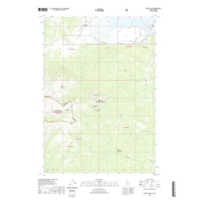 2020 Sawtell Peak2020 Print · USGSThe high peaks of the Centennial Mountains meet the shores of Henrys Lake in the late twenty-teens. Outdoor historians and genealogists can trace property lines in the Webster Subdivision or explore high-altitude landmarks like Sawtell Peak and Schoolhouse Canyon.
 - 2020 Map of Tepee Draw, 2020 Print
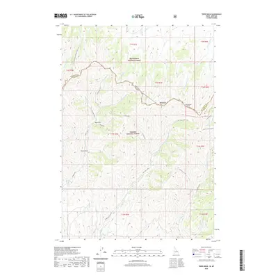 2020 Tepee Draw2020 Print · USGSThe high Montana-Idaho border comes alive in this modern survey of the Beaverhead Mountains crest. Hikers and historians can trace the Continental Divide National Scenic Trail as it passes Tepee Draw, Broad Hollow, and the remote Corral Canyon.
 - 2020 Map of Targhee Peak, 2020 Print
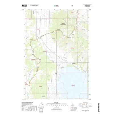 2020 Targhee Peak2020 Print · USGSThe high mountain border between Idaho and Montana comes into focus in this modern survey of the Henrys Lake basin. Researchers can trace the Continental Divide National Scenic Trail past Targhee Peak and locate lakeside settlements at Staley Springs and Island Park.
 - 2020 Map of Reservoir Creek, 2020 Print
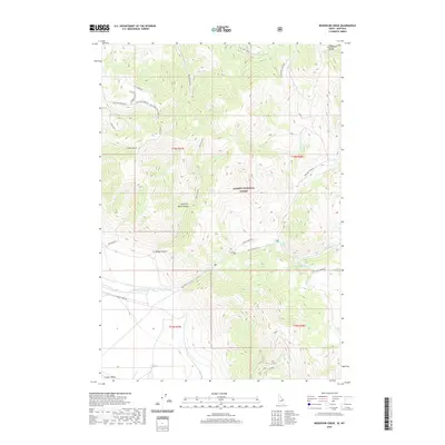 2020 Reservoir Creek2020 Print · USGSThe high Idaho-Montana borderlands are captured here in 2020, centered on the Continental Divide and the Salmon National Forest. Researchers can trace forest service roads and drainage systems like Salt Creek and the Salt Creek Repeater high above the Lemhi Valley.
 - 2020 Map of Cottonwood Creek, 2020 Print
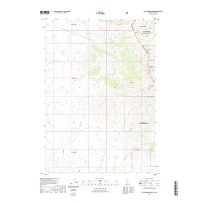 2020 Cottonwood Creek2020 Print · USGSHigh along the Montana-Idaho border, this recent survey captures the remote wilderness where the Continental Divide crosses the Beaverhead Mountains. Hikers and historians can trace the Continental Divide National Scenic Trail and find isolated landmarks like Breazeale Spring and Ramsey Canyon.
 - 2020 Map of Goldstone Mountain, 2020 Print
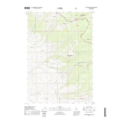 2020 Goldstone Mountain2020 Print · USGSThe high crest of the Beaverhead Mountains serves as the backdrop for this 2020 survey of the Idaho-Montana borderlands. Researchers can trace the winding Continental Divide National Scenic Trail and locate remote water sources like Sharkey Hot Spring and Bohannon Spring.
 - 2020 Map of Bohannon Spring, 2020 Print
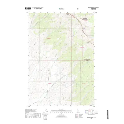 2020 Bohannon Spring2020 Print · USGSHigh in the Beaverhead Mountains during the early twenty-first century, the Continental Divide marks the rugged boundary between Idaho and Montana. Researchers can trace remote water sources and high-country trails near Bohannon Spring, Coal Mine Gulch Spring, and Berry Lake.
 - 2020 Map of Big Hole Pass, 2020 Print
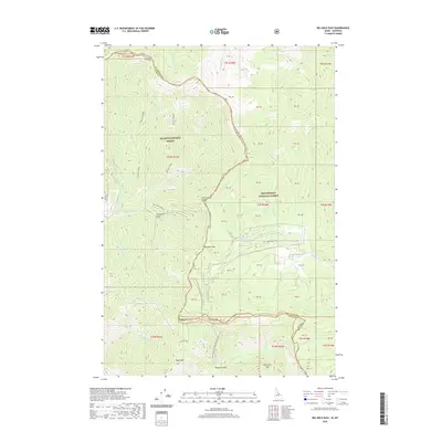 2020 Big Hole Pass2020 Print · USGSThe high-country border between Idaho and Montana is captured here in the contemporary era, centered on the crossing at Big Hole Pass. Trace the winding path of the Continental Divide National Scenic Trail as it passes Eagle Mtn and the waters of Morgan Jones Lake.
 - 2020 Map of Gibbonsville, 2020 Print
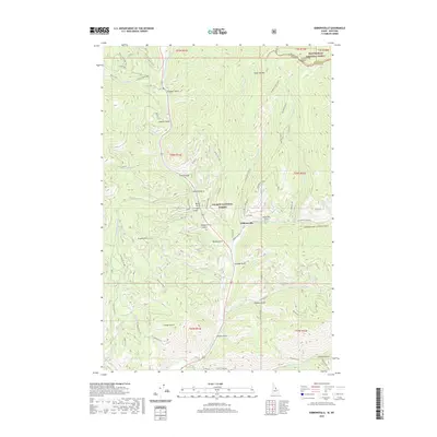 2020 Gibbonsville2020 Print · USGSGibbonsville and the surrounding Salmon National Forest appear here at the Idaho-Montana border just as the new decade began. Researchers can trace the steep drainages of the N Fork Salmon River and identify local landmarks like Granite Mtn and the Continental Divide.
 - 2020 Map of Medicine Lodge Peak, 2020 Print
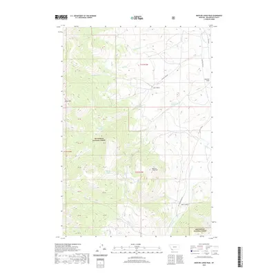 2020 Medicine Lodge Peak2020 Print · USGSBeaverhead County is shown at its most remote in this 2020 survey of high-elevation forest and canyon lands. Local historians and hunters can trace the geography of named landmarks like Medicine Lodge Peak, Keystone Reservoir, and Shooting Herders Spring.
 - 2020 Map of Deadman Pass, 2020 Print
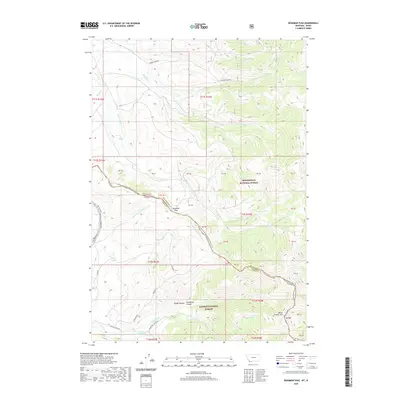 2020 Deadman Pass2020 Print · USGSThe Montana-Idaho border comes alive in this modern survey of the Continental Divide, showcasing the remote high-country wilderness. Researchers can trace the path of the Continental Divide National Scenic Trail as it crosses Deadman Pass and skirts the edges of Rough Canyon and Dad Creek Lake.
 - 2020 Map of Tepee Mountain, 2020 Print
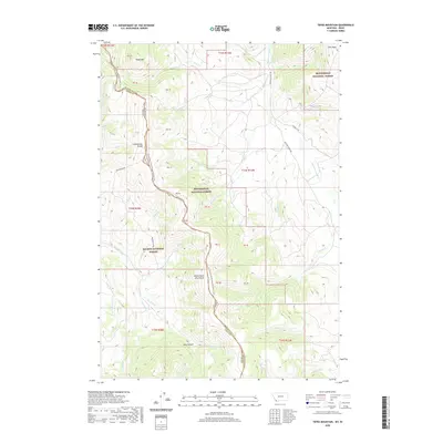 2020 Tepee Mountain2020 Print · USGSThe high ridge of the Beaverhead Mountains marks the state line in the late twenty-teens, where the forest canopy meets the sky. Hikers and historians can trace the Continental Divide National Scenic Trail past Tepee Mtn and the headwaters of Hildreth Cr.
 - 2020 Map of Everson Creek, 2020 Print
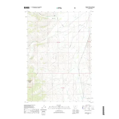 2020 Everson Creek2020 Print · USGSBeaverhead County at the Continental Divide is captured here in the contemporary era, centered on the historic mountain transit routes. Researchers can trace the paths through Lemhi Pass and follow the distinct local drainages of Bloody Dick Cr and Jeff Davis Cr.
 - 2020 Map of Hansen Ranch, 2020 Print
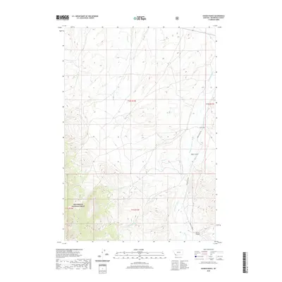 2020 Hansen Ranch2020 Print · USGSBeaverhead County ranching and forest lands are captured in this modern survey of the Montana high country. Genealogists and historians can trace the remote Hansen Ranch and seasonal watercourses like Medicine Lodge Creek and Harkness Creek.
 - 2020 Map of Three Eagles Peak, 2020 Print
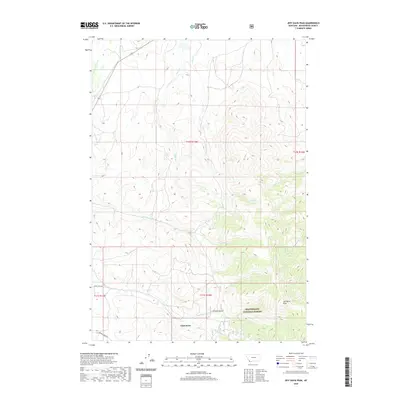 2020 Three Eagles Peak2020 Print · USGSBeaverhead County’s high-country drainages and historic routes are recorded in this recent survey. Local historians and researchers can trace the roads around Chinatown and locate landmarks like French Gulch, Jeff Davis Peak, and Shenon Cr.
 - 2020 Map of Bannock Pass, 2020 Print
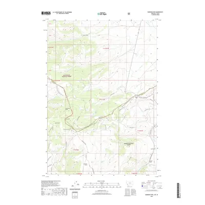 2020 Bannock Pass2020 Print · USGSThe high Montana-Idaho border comes into focus on this recent survey of the Bitterroot Range and the Continental Divide. Researchers can trace the winding Continental Divide National Scenic Trail and find historic remote water sources like Wagonbox Springs and Soapstone Spring.
 - 2020 Map of Morrison Lake, 2020 Print
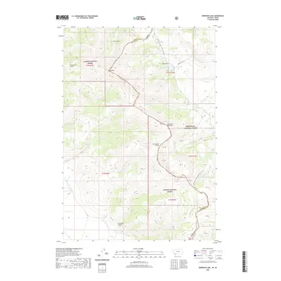 2020 Morrison Lake2020 Print · USGSThe high peaks of the Beaverhead Mountains mark the Idaho-Montana border in this recent survey of the Continental Divide. Backcountry researchers can trace the Continental Divide National Scenic Trail as it passes Morrison Lake and Baldy Mtn.
 - 2020 Map of Lemhi Pass, 2020 Print
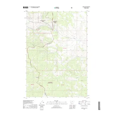 2020 Lemhi Pass2020 Print · USGSThe Montana-Idaho border comes alive at the high mountain gap of Lemhi Pass during the early twenty-first century. History seekers can follow the path of the Lewis And Clark Nht or trace the Continental Divide across the peaks from Distant Fountain to Bear Gulch.
Showing maps 1-25 of 288
Top cities of Beaverhead County
Frequently asked questions
- What are the different types of historical maps available for Beaverhead County?
- What is the oldest map of Beaverhead County?
- Where can I purchase historical maps of Beaverhead County for my home or office?
- Where can I download high-res historical maps of Beaverhead County?
- Are there historical topographic maps available for Beaverhead County?
- Is there historical aerial imagery available for Beaverhead County?
- Where are historical maps of Beaverhead County sourced from?