2010s Maps of Beaverhead County, Montana
Explore 432 historic maps of Beaverhead County from the 2010s. These maps offer a rare glimpse into what life looked like during the 2010s — showing old roads, neighborhoods, homes, and landmarks that have changed or disappeared over time.
Whether you're researching your family's past, planning a metal detecting trip, or studying how Beaverhead County's landscape evolved across the 2010s, these high-resolution maps are a powerful tool for exploring the history of this region.
- Focus on a specific era: All maps on this page are from the 2010s, giving you a focused view of this time period.
- See what’s changed: Compare century-old streets, trails, and buildings to today's modern landscape using overlays and satellite layers.
- Research with precision: Use these maps for genealogy, historical research, land use analysis, or educational projects.
- View, download, or print: Maps are fully viewable online in high resolution, and can be downloaded or printed for your own records.
Start exploring Beaverhead County's history through authentic maps from the 2010s. This is your window into the past.
Beaverhead County, MT maps
(432)- 2011 Map of Elk Gulch, 2011 Print
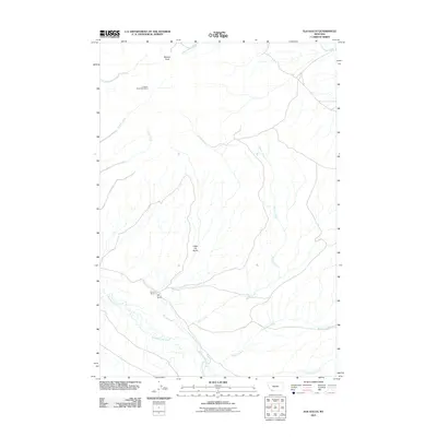 2011 Elk Gulch2011 Print · USGSBeaverhead County ranching and mining lands are detailed here as they appeared in the early 2010s. Researchers can trace the legacy of local industry and land use at the Graphite Birds Nest Mine, Brown Ranch, and the drainages of Blacktail Deer Creek.
 - 2011 Map of Lemhi Pass, 2011 Print
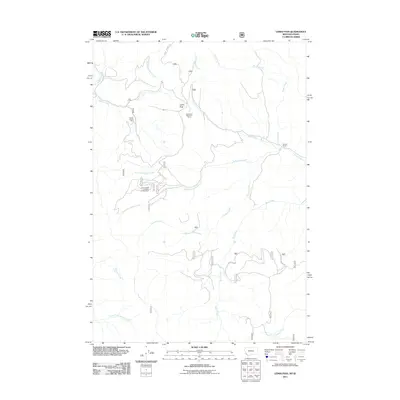 2011 Lemhi Pass2011 Print · USGSThe Continental Divide at Lemhi Pass is captured here during the early twenty-first century, showcasing the intersection of historical trails and mountain mining. Researchers can trace high-country drainages and locate the Copper Queen Mine, Sacajawea Memorial Camp, and the remote Selway Ranch.
 - 2011 Map of Eli Spring, 2011 Print
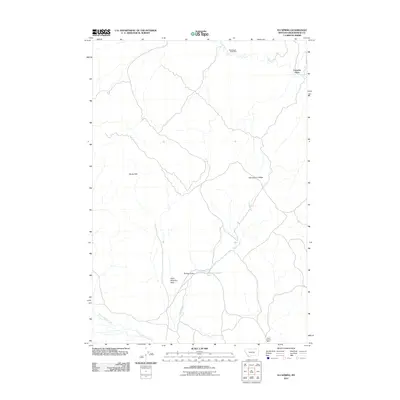 2011 Eli Spring2011 Print · USGSBeaverhead County at the start of the twenty-first century reveals a rugged landscape of high-altitude mining and ranching. Genealogists and historians can trace family-named landmarks like Frenchie Place and Hans Peterson Flats alongside the industrial footprint of the Grasshopper Strip Mine.
 - 2011 Map of Earls Gulch, 2011 Print
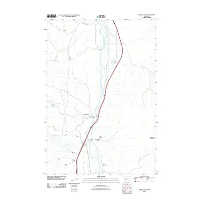 2011 Earls Gulch2011 Print · USGSSilver Bow County ranching and river access are the focus of this Montana survey at the start of the decade. Genealogists and historians can locate family-named landmarks like McCullough Ranch and Kambich Ranch, or trace industrial sites like the Tungsten Mill.
 - 2011 Map of Belmont Park Ranch, 2011 Print
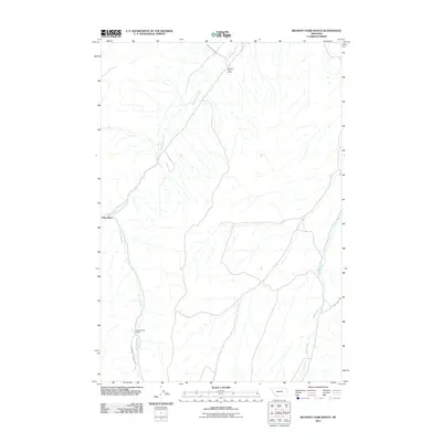 2011 Belmont Park Ranch2011 Print · USGSHigh-elevation ranchlands and creek drainages in Madison County are captured here in the early twenty-first century. Researchers can trace the remote network of tracks like Honeymoon Springs Rd to sites such as Spring Brook Camp and Fries Place.
 - 2011 Map of Dalys, 2011 Print
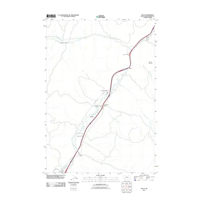 2011 Dalys2011 Print · USGSBeaverhead County ranching culture and river geography are on display here in the early twenty-first century. Researchers can trace historic family-named properties like Henneberry Ranch and Mooney Ranch alongside the Beaverhead River.
 - 2011 Map of Bond, 2011 Print
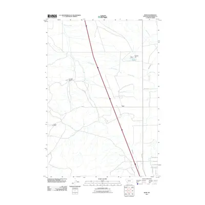 2011 Bond2011 Print · USGSBond and the surrounding Beaverhead County rangeland are shown here as they appeared in the early 21st century. Researchers can trace the extensive irrigation network including Willow Creek Ditch, the Blomquist Reservoir Dam, and local routes like Tenderfoot Trl.
 - 2011 Map of Beaverhead Rock, 2011 Print
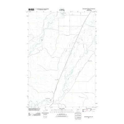 2011 Beaverhead Rock2011 Print · USGSBeaverhead County in the early twenty-first century reveals a landscape shaped by the Big Hole River and its vital irrigation networks. Researchers can locate the Point of Rocks Cemetery and trace historical land use through landmarks like Beaverhead Rock and Biltmore Hot Springs.
 - 2011 Map of Beaverhead Rock SW, 2011 Print
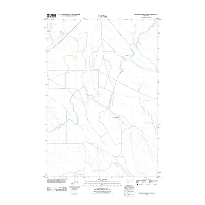 2011 Beaverhead Rock SW2011 Print · USGSThe ranching country of Beaverhead County comes into focus in this early twenty-first-century survey of the high plains. Researchers can trace the vital irrigation networks of the East Bench Canal and Larson Ditch alongside landmarks like the Diamond O Ranch.
 - 2011 Map of Bannack, 2011 Print
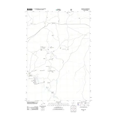 2011 Bannack2011 Print · USGSBannack and its surrounding goldfields are documented here in the early twenty-first century, showing the enduring footprint of Montana's mining legacy. Researchers can trace dozens of specific claims and landmarks like Road Agents Rock, the Senator/Arcata Mine, and Hangmans Gulch Mine.
 - 2011 Map of Torrey Mountain, 2011 Print
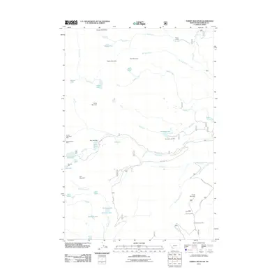 2011 Torrey Mountain2011 Print · USGSThe Pioneer Mountains are captured here in the early twenty-first century, showcasing a landscape of high-altitude peaks and glacial lakes. Local historians and explorers can locate historic mining sites like the US Treasurer Mine and remote outposts such as Winkley Camp.
 - 2011 Map of Gallagher Mountain, 2011 Print
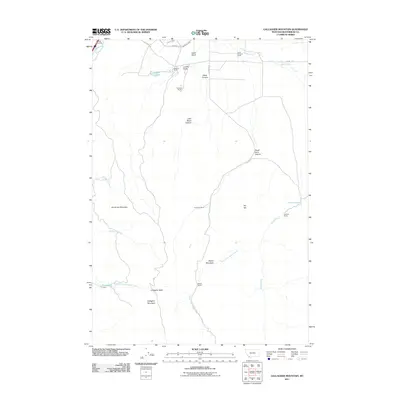 2011 Gallagher Mountain2011 Print · USGSBeaverhead County ranching and high-country terrain are meticulously detailed in this early twenty-first-century survey. Researchers can trace family-named land holdings and water rights from Flynn Brothers Ranch to the irrigation works of Canyon Ditch and East Bench Canal.
 - 2011 Map of Ermont, 2011 Print
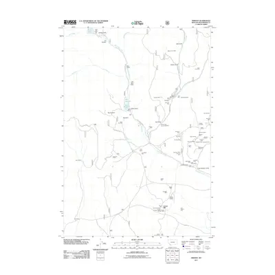 2011 Ermont2011 Print · USGSBeaverhead County mining and ranching are on display in the early twenty-first century as industrial activity meets the open range. Researchers can trace dozens of specific claims like the Argenta Mine, Silver Rule Mine, and Ermont Mill.
 - 2011 Map of Mount Tahepia, 2011 Print
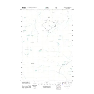 2011 Mount Tahepia2011 Print · USGSBeaverhead County’s high-country mining legacy is on full display in this early 21st-century survey of the Pioneer Mountains. Genealogists and historians can trace numerous specific sites including the Hecla Mines, Cleve Mine, and Minnie-Gaffney Mine across the peaks.
 - 2011 Map of Dillon West, 2011 Print
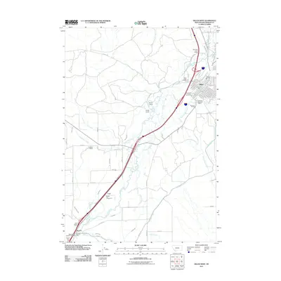 2011 Dillon West2011 Print · USGSDillon and the surrounding Beaverhead River valley are shown here in the early twenty-first century, revealing a complex landscape of irrigation and education. Genealogists and researchers can trace the development of Dillon around the University of Montana Western or locate family sites near Barretts and Ford.
 - 2011 Map of Ashbough Canyon, 2011 Print
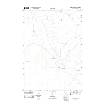 2011 Ashbough Canyon2011 Print · USGSBeaverhead County ranching and mining interests are documented here in the early twenty-first century. Genealogists and historians can locate family landmarks like the Poindexter Cemetery, Rock Island Ranch, and the Ground Hog Mine.
 - 2011 Map of Hansen Ranch, 2011 Print
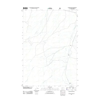 2011 Hansen Ranch2011 Print · USGSBeaverhead County ranchlands are documented here in the early twenty-first century, showing the remote drainages of the Montana high country. Researchers can locate Hansen Ranch and trace the winding paths of Medicine Lodge Creek and Baker Canyon.
 - 2011 Map of Red Canyon, 2011 Print
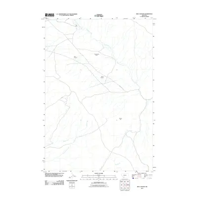 2011 Red Canyon2011 Print · USGSBeaverhead County ranching lands and high-basin terrain are captured here just after the turn of the twenty-first century. Researchers can trace historic water rights and land use at Ball Ranch, Virginia Springs, and along the winding Sweetwater Rd.
 - 2011 Map of Three Eagles Peak, 2011 Print
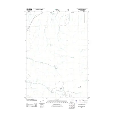 2011 Three Eagles Peak2011 Print · USGSBeaverhead County ranching and mining country are documented here in the early twenty-first century. Genealogists and researchers can locate the settlement of Chinatown and trace local landmarks like Mansfield Cow Camp and the Lucky Strike Mine.
 - 2011 Map of Argenta, 2011 Print
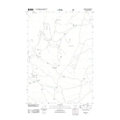 2011 Argenta2011 Print · USGSBeaverhead County mining history is on full display in this early 21st-century survey of the Pioneer Mountains foothills. Researchers can trace dozens of named claims and shafts, including the Capitol Mine, Rosemont Mine, and the Ferdinand Mine near Argenta.
 - 2011 Map of Christensen Ranch, 2011 Print
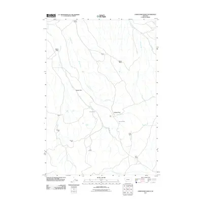 2011 Christensen Ranch2011 Print · USGSMadison County ranching and mining operations are captured here at the start of the 2010s. Researchers can locate specific family outposts and mineral sites like Christensen Ranch, Regal Mine, and the Guidici Cowcamp.
 - 2011 Map of Wise River, 2011 Print
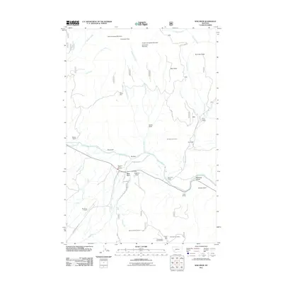 2011 Wise River2011 Print · USGSSilver Bow County at the start of the 2010s shows a mountain landscape defined by the confluence of the Big Hole River and the Wise River. Genealogists and historians can trace the local mining legacy at Keystone Number 20 Mine or locate early civic landmarks like the Wise River Post Office.
 - 2011 Map of Glen SE, 2011 Print
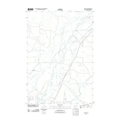 2011 Glen SE2011 Print · USGSBeaverhead County agricultural lands are shown here at the start of the 2010s, centered on a complex network of irrigation and river sloughs. Genealogists and historians can trace family-named landmarks such as Albers Slough, Smith Malley Ditch, and the Dillon Airport.
 - 2011 Map of Dewey, 2011 Print
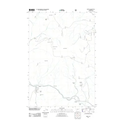 2011 Dewey2011 Print · USGSSilver Bow County’s mining history and the river corridor come into focus during this 2011 study. Researchers can trace the proximity of historic workings like the Old Tom Horn Mine to local landmarks such as Dewey Cemetery and Big Hole Dam.
 - 2011 Map of Block Mountain, 2011 Print
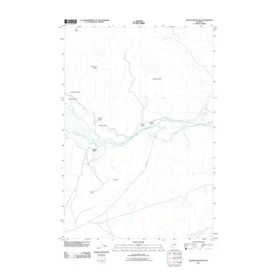 2011 Block Mountain2011 Print · USGSBeaverhead County terrain is captured here in the early twenty-first century as the Big Hole River winds past ancient landmarks and local industry. Genealogists and historians can locate Sodak Mill, the Sodak Mine, and the site of a Buffalo Jump.
Showing maps 1-25 of 432
Top cities of Beaverhead County
Frequently asked questions
- What are the different types of historical maps available for Beaverhead County?
- What is the oldest map of Beaverhead County?
- Where can I purchase historical maps of Beaverhead County for my home or office?
- Where can I download high-res historical maps of Beaverhead County?
- Are there historical topographic maps available for Beaverhead County?
- Is there historical aerial imagery available for Beaverhead County?
- Where are historical maps of Beaverhead County sourced from?