1940s Maps of Nevada
Explore 84 historic maps of Nevada from the 1940s. These maps offer a rare glimpse into what life looked like during the 1940s — showing old roads, neighborhoods, homes, and landmarks that have changed or disappeared over time.
Whether you're researching your family's past, planning a metal detecting trip, or studying how Nevada's landscape evolved across the 1940s, these high-resolution maps are a powerful tool for exploring the history of this region.
- Focus on a specific era: All maps on this page are from the 1940s, giving you a focused view of this time period.
- See what’s changed: Compare century-old streets, trails, and buildings to today's modern landscape using overlays and satellite layers.
- Research with precision: Use these maps for genealogy, historical research, land use analysis, or educational projects.
- View, download, or print: Maps are fully viewable online in high resolution, and can be downloaded or printed for your own records.
Start exploring Nevada's history through authentic maps from the 1940s. This is your window into the past.
Nevada maps
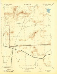
- 1940 Map of Rowland
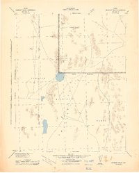
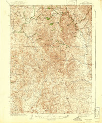
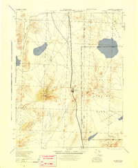
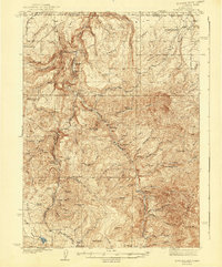 1940 Rowland1940 Print · USGSRemote ranching and high-desert terrain define this borderland region during the mid-1930s. Genealogists and researchers can trace family-named sites such as Budde Rizzi Ranch, the McKnight Cabin, and the community of Rowland.2 unique versions available
 - 1940 Map of Mountain City
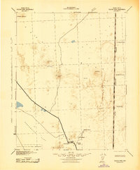
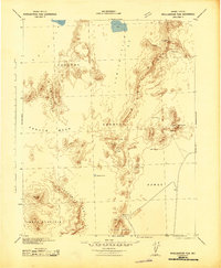
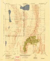
 1940 Mountain City1940 Print · USGSElko County mining and ranching life are detailed in this survey of the Nevada-Idaho borderlands during the late thirties. Researchers can locate remote family operations like Rizzi Ranch and trace the local mining economy at the Rio Tinto Mine and Patsville.2 unique versions available
 - 1940 Map of Truckee
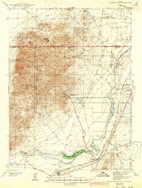
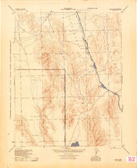
 1940 Truckee1940 Print · USGSThe High Sierra and Lake Tahoe shoreline appear here in the pre-war era, showing a landscape defined by timber, tourism, and transit. Genealogists and historians can trace the early resort development at Tahoe Vista, the lumber works at Hobart Mills, and the vital Southern Pacific rail line.4 unique versions available
 - 1940 Map of Antler Peak, 1960 Print
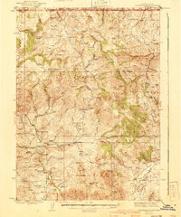
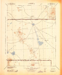
 1940 Antler Peak1960 Print · USGSThe Battle Mountains were a hive of mineral extraction and remote ranching in the years before the war. Researchers can trace dozens of early workings like the Marigold Mine and Buckingham Camp alongside family outposts like Oyarbi de Ranch.3 unique versions available
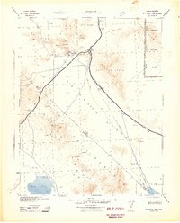
 - 1942 Map of Camp Mohave
 1942 Camp Mohave1942 Print · USGSThe tri-state borderlands of Nevada, Arizona, and California are captured here in the early 1940s, highlighting a landscape of deep canyons and high-desert mining camps. Researchers can trace historic rail lines and find remote outposts like Searchlight, Nelson, and the riverfront Fort Mohave Indian Reservation.
 - 1942 Map of Owyhee
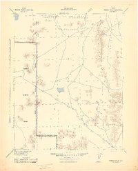
 1942 Owyhee1942 Print · USGSThe high desert borderlands of Nevada and Idaho come alive in this pre-war survey of the Duck Valley Indian Reservation. Researchers can trace early irrigation systems and ranching landmarks like Lamb Reservoir, the Number One Settlement, and the Idaho-Nev Shaft mine.3 unique versions available
 - 1942 Map of Emigrant Valley
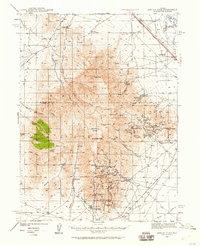
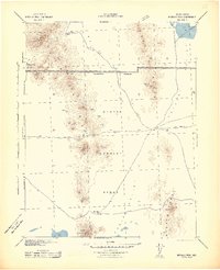
 1942 Emigrant Valley1942 Print · USGSThe Nevada desert underwent a major wartime transformation in the early 1940s as vast tracts were designated for defense. Researchers can trace the early Military Reservation Boundary and locate isolated landmarks like the mine at Groom and the peak of Bald Mountain.
 - 1942 Map of Tolicha Peak
 1942 Tolicha Peak1942 Print · USGSNye County ranching and early military expansion meet in the early 1940s. Researchers can locate remote desert outposts like Springdale and Howell Ranch or trace the early boundary of the Tonopah Bombing and Gunnery Range.
 - 1942 Map of Indian Spring
 1942 Indian Spring1942 Print · USGSSouthern Nevada's desert landscape is captured here in the early forties as military interests began to redefine the territory. Researchers can trace the early layout of Indian Spring and find remote water sources like Quartz Spring and Mesquite Spring.
 - 1942 Map of Eugene Mountains Area
 1942 Eugene Mountains Area1942 Print · USGSPershing and Humboldt counties were centers of mining and transit during the early Forties. Genealogists and historians can trace the intersection of the Emigrant Trail with industrial sites like the Nevada Massachusetts Tungsten Mine and ranching life at Thackers Ranch.2 unique versions available
 - 1942 Map of Ivanpah
 1942 Ivanpah1942 Print · USGSThe Mojave Desert frontier comes into focus during the early war years, showing a landscape shaped by mining and rail. You can trace the path of the Union Pacific through remote stops like Nipton, Goodsprings, and the junction at Barnwell.
 - 1942 Map of Cactus Range
 1942 Cactus Range1942 Print · USGSNye County was undergoing a major military transformation during the early forties as ranching and mining land was repurposed for defense. Researchers can find old desert outposts like Golden Arrow and Trappmans Camp alongside vital water sources such as Antelope Springs and Cactus Spring.
 - 1942 Map of Mt. Velma
 1942 Mt. Velma1942 Print · USGSElko County ranching and mining life are recorded here as they existed prior to the Second World War. Genealogists and historians can locate family holdings like the Guerricabeitia Ranch, the remote Bryan Sch, and McKnights Placer Mine.2 unique versions available
 - 1942 Map of Reveille Peak
 1942 Reveille Peak1942 Print · USGSNye County's high desert was transitioning into a strategic military corridor during the early 1940s. Researchers can locate remote outposts like Silver Bow and Eden Creek Ranch or trace essential water sources such as Cedar Wells and Jarboe Spring.
 - 1942 Map of Wheelbarrow Peak
 1942 Wheelbarrow Peak1942 Print · USGSNye County's high desert plateaus are captured during the early 1940s as the region began its transition to a military training ground. Genealogists and desert historians can locate critical water sources like Whiterock Spring and Johnnies Water alongside landmarks like Shoshone Mountain.
 - 1942 Map of Penoyer Valley
 1942 Penoyer Valley1942 Print · USGSLincoln County mining and military operations are documented in the early 1940s, just as the basin became a strategic defense zone. Trace early settlements and mining sites like Tem Piute and Freiburg or locate critical desert water sources at Sand Spring.
 - 1942 Map of Skull Mountain
 1942 Skull Mountain1942 Print · USGSNye County's high desert was undergoing a massive transformation during the early 1940s as military testing ranges expanded across the terrain. Researchers can trace historic desert routes and landmarks like Cane Spring, the Horn Silver Mine, and the remote Fairbanks settlement.
 - 1942 Map of Bullfrog
 1942 Bullfrog1942 Print · USGSThe high desert of southern Nevada and eastern California is shown here during the early war years, documenting the region's mining and railroad legacy. Researchers can trace the T & T (Abandoned) railroad grade and locate mining sites like Jumbo and Ladd near Rhyolite.
 - 1943 Map of Antler Peak
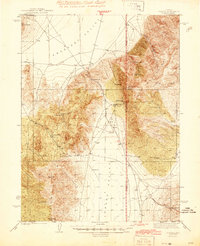
 1943 Antler Peak1943 Print · USGSIn the early 1940s, the high basins of Lander County were defined by a booming mineral economy and isolated desert ranching. Genealogists and historians can trace the foundations of Buckingham Camp, the Marigold Mine, and remote family outposts like Oyarbi de Ranch.3 unique versions available
 - 1943 Map of Mineral Hill
 1943 Mineral Hill1943 Print · USGSCentral Nevada's mining and ranching corridor is documented here during the late 1930s as the rail era transitioned into memory. Researchers can trace the Nevada Eureka (Abandoned) rail line past Alpha Ranch and locate early sites like Mineral Hill and the Bell Mine.2 unique versions available
 - 1943 Map of Jarbidge, 1954 Print
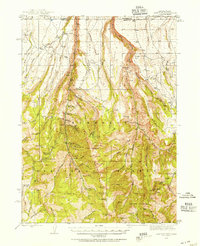 1943 Jarbidge1954 Print · USGSThe Jarbidge mining district in northern Elko County was still a remote outpost of industry and ranching in the 1940s. Genealogists and historians can trace the locations of the Altitude Mine, family operations at Larios Ranch, and the Mahoney Ranger Sta.3 unique versions available
 - 1944 Map of Cortez
 1944 Cortez1944 Print · USGSLander and Eureka counties are documented here in the early 1940s, highlighting the mining and ranching outposts of the Great Basin. Genealogists and historians can trace family locations at Caetano Ranch or explore industrial sites like the Cortez Mine and the Mill Canyon Sch.2 unique versions available
 - 1945 Map of Goldfield
 1945 Goldfield1945 Print · USGSEsmeralda County's high desert landscape is shown here at the end of the Second World War, capturing the region's mining roots and new military role. Genealogists and historians can trace the Tonopah and Goldfield rail line through Klondike and locate remote water sources like Stonewall Spr.
 - 1945 Map of Sheep Range
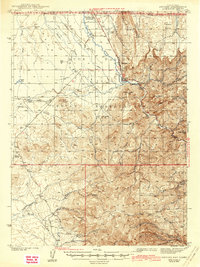
 1945 Sheep Range1945 Print · USGSThe Nevada desert in the mid-1940s is shown here as a massive military training ground just after the war. Researchers can trace the Approximate Reservation Boundary of the Tonopah Aerial Gunnery Range and locate landmarks like Sheep Peak and the Yucca Forest.
 - 1945 Map of Alamo
 1945 Alamo1945 Print · USGSThe Pahranagat Valley during the mid-1940s reveals a sparse but vital desert settlement pattern centered on the town of Alamo. Researchers can trace the early footprint of the Tonopah Aerial Gunnery Range and find remote water sources like Upper Pahranagat Lake and Maynard Lake.
Showing maps 1-25
Top cities of Nevada
- Las Vegas historical maps
- Henderson historical maps
- Reno historical maps
- North Las Vegas historical maps
- Enterprise historical maps
- Spring Valley historical maps
See more
Top counties of Nevada
- Clark County historical maps
- Washoe County historical maps
- Carson City historical maps
- Lyon County historical maps
- Elko County historical maps
- Douglas County historical maps
See more
Frequently asked questions
- What are the different types of historical maps available for Nevada?
- What is the oldest map of Nevada?
- Where can I purchase historical maps of Nevada for my home or office?
- Where can I download high-res historical maps of Nevada?
- Are there historical topographic maps available for Nevada?
- Is there historical aerial imagery available for Nevada?
- Where are historical maps of Nevada sourced from?