1990s Maps of Nevada
Explore 301 historic maps of Nevada from the 1990s. These maps offer a rare glimpse into what life looked like during the 1990s — showing old roads, neighborhoods, homes, and landmarks that have changed or disappeared over time.
Whether you're researching your family's past, planning a metal detecting trip, or studying how Nevada's landscape evolved across the 1990s, these high-resolution maps are a powerful tool for exploring the history of this region.
- Focus on a specific era: All maps on this page are from the 1990s, giving you a focused view of this time period.
- See what’s changed: Compare century-old streets, trails, and buildings to today's modern landscape using overlays and satellite layers.
- Research with precision: Use these maps for genealogy, historical research, land use analysis, or educational projects.
- View, download, or print: Maps are fully viewable online in high resolution, and can be downloaded or printed for your own records.
Start exploring Nevada's history through authentic maps from the 1990s. This is your window into the past.
Nevada maps
- 1990 Map of Knott Creek Ranch
 1990 Knott Creek Ranch1990 Print · USGSThe high desert of Humboldt County is captured in the early nineties, centered on the remote Knott Creek Ranch. Researchers can trace the rugged transition from the Sheldon National Wildlife Refuge to the Black Rock Range through landmarks like Idaho Canyon and Indian Spring.
 - 1990 Map of Ninemile Peak
 1990 Ninemile Peak1990 Print · USGSEureka and Nye counties meet at the edge of the range in the late twentieth century, showing a remote landscape of mining and high desert water. Trace old mining claims through scattered Prospects or locate water sources like Water Canyon Spring and Mountain Lion Spring.
 - 1990 Map of Bradshaw Spring
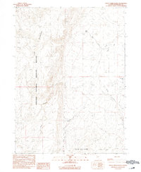
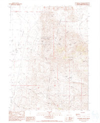
 1990 Bradshaw Spring1990 Print · USGSNye County's high desert landscape is captured here during the late eighties, documenting a remote region shaped by sparse water and mineral interests. Researchers can trace the locations of Bradshaw Spring, a solitary Grave, and several high-altitude Prospects.
 - 1990 Map of Deer Creek Peak
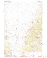
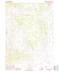
 1990 Deer Creek Peak1990 Print · USGSHumboldt County’s high desert landscape was mapped in detail just before the turn of the millennium, showing a region defined by mining and ranching. Researchers can trace remote operations and water sources like Bottle Creek Ranch, Mine sites, and Poorman Spring.
 - 1990 Map of Antelope Peak
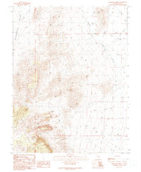
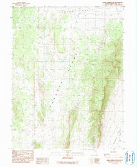
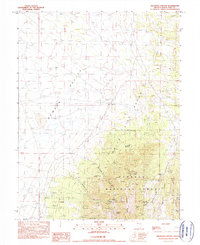
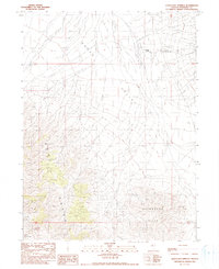
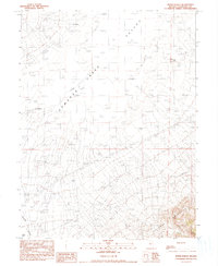
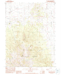 1990 Antelope Peak1990 Print · USGSCentral Nevada's high-desert basins and ranges are captured here in the early 1990s. Trace the isolated Willows Ranch and mining Prospects scattered across the Monitor Range and Twin Spring Hills.
 - 1990 Map of Red Butte
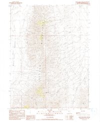
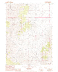
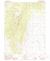
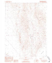
 1990 Red Butte1990 Print · USGSThe Jackson Mountains in the early nineties show a landscape defined by desert mining and isolated springs. Researchers can trace historic mineral claims like the Iron Chief Mine and Stroud Mine or locate remote water sources like Fish Pond Spring.
 - 1990 Map of Lee Peak
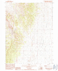
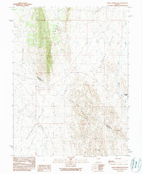
 1990 Lee Peak1990 Print · USGSPershing County's mining and ranching history is etched into the East Range in this late twentieth-century study. Trace the high-desert landscape from the Yellowstone Mine to reliable water at Rawhide Spring and the passage through Klondike Pass.
 - 1990 Map of Pancake Summit SW
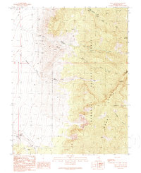
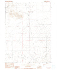
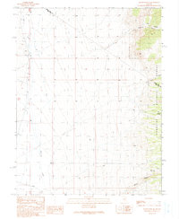
 1990 Pancake Summit SW1990 Print · USGSThe high-desert terrain of White Pine County is captured here in the late twentieth century as the mountains meet the basin. Researchers can locate a specific Prospect and trace the eastern slopes of the Pancake Range into Newark Valley.
 - 1990 Map of Troy Canyon
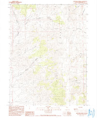
 1990 Troy Canyon1990 Print · USGSNye County ranching and prospecting are documented here in the early nineties, centered on the high peaks of the Nevada interior. Researchers can trace land use at Bordoli Ranch or locate historical burial sites at a Cem and Grave near the Troy Canyon mines.
 - 1990 Map of Green Springs NW
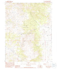
 1990 Green Springs NW1990 Print · USGSWhite Pine County's high desert landscape is documented here during the late twentieth century, showing the transition between the Pancake Range and surrounding valleys. Researchers can trace historic mining claims through numerous Prospects and identify essential water sources like Bull Creek.
 - 1990 Map of Bartomes Spring
 1990 Bartomes Spring1990 Print · USGSPershing County's high desert terrain is captured here in the late twentieth century, showing a landscape defined by seasonal water and mining. Genealogists and historians can trace the locations of Mine Tunnels, Sulphur Spring, and Bartomes Spring.
 - 1990 Map of Hole In The Wall
 1990 Hole In The Wall1990 Print · USGSChurchill County is documented here in the early nineties, showing a remote desert intersection of the Augusta Mountains and Clan Alpine Mountains. Researchers can trace old routes through Hole in the Wall and follow 4WD tracks across the high Valley.
 - 1990 Map of Well Canyon
 1990 Well Canyon1990 Print · USGSEureka County’s high-country ranching and forest lands are detailed here during the late twentieth century. Researchers can locate remote outposts like Morrison Ranch and Ardans Ranch or trace drainage from the Toiyabe Range.
 - 1990 Map of Seligman Canyon
 1990 Seligman Canyon1990 Print · USGSWhite Pine County mining operations and high desert springs are detailed in this late twentieth-century survey. Trace historical mining claims and infrastructure at the Belmont Mill, Seligman Mine, and Mary Ellen Mine.
 - 1990 Map of Bellevue Peak
 1990 Bellevue Peak1990 Print · USGSEureka County in the late eighties and early nineties reveals a landscape of high peaks and mining prospects. Trace the footprints of early settlers and miners at the Fenstermaker Grave or explore the water sources vital to the area like Fish Creek Springs and Martelletti Spring.
 - 1990 Map of Green Springs SW
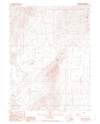
 1990 Green Springs SW1990 Print · USGSThe high desert of central Nevada is captured in the late twentieth century as the county line traverses these remote basins and ranges. Researchers can trace the isolated Bull Creek Ranch and follow the natural corridors of Railroad Valley and the Duckwater Hills.
 - 1990 Map of McCoy NE
 1990 McCoy NE1990 Print · USGSThe Reese River Valley in the late 1980s shows a landscape of desert water management and early industry. Trace the Old Railroad Grade or locate infrastructure like the Aqueduct and Dillon Well.
 - 1990 Map of Leach Hot Springs
 1990 Leach Hot Springs1990 Print · USGSPershing County in the late eighties and early nineties reveals a landscape of high-desert ranching and active mining. Researchers can trace land use through the geothermal Leach Hot Springs, remote Mines, and the historic Hot Springs Ranch.
 - 1990 Map of Duckwater NE
 1990 Duckwater NE1990 Print · USGSNye and White Pine counties meet in this high-desert basin during the early 1990s. Researchers and explorers can trace early resource extraction sites like a prospect and Drill Hole, or locate remote water sources including Blackrock Spring.
 - 1990 Map of Rocky Pass
 1990 Rocky Pass1990 Print · USGSLander County's high-desert basins are captured in the late 1980s as mining and ranching continue to define the landscape. Researchers can trace historic mineral exploration through the many Prospects and an Open Pit Mine near the crossing at Rocky Pass.
 - 1990 Map of Savory Mountain
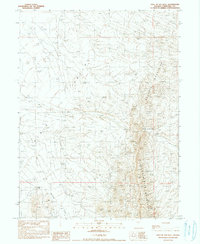
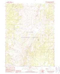 1990 Savory Mountain1990 Print · USGSNye County's high-altitude interior is captured in the late eighties as it appeared within the Toiyabe National Forest. Researchers can trace the rugged drainage patterns of the Monitor Range and locate landmarks like Horse Heaven and Savory Mountain.
 - 1990 Map of Vicksburg Canyon
 1990 Vicksburg Canyon1990 Print · USGSHumboldt County’s high desert mining country is captured here in the 1990s, where the mountain ranges meet the arid valley floor. Genealogists and historians can trace the remote operations of the Vicksburg Mine, Ashdown Mine, and Cherry Gulch Mine.
 - 1990 Map of Buck Mountain East
 1990 Buck Mountain East1990 Print · USGSThe high basins of White Pine County are documented here in the early nineties, showing a landscape shaped by mining and cattle ranching. Researchers can locate remote water sources like Cottonwood Springs and trace industrial footprints at Alligator Ridge.
 - 1990 Map of Byers Ranch
 1990 Byers Ranch1990 Print · USGSChurchill County, Nevada, is captured here in the late twentieth century as a landscape of remote ranching and high-desert basins. Researchers can trace family names and land use at Byers Ranch or locate the settlement of Edwards near the Desatoya Mountains.
 - 1990 Map of Mustang Spring
 1990 Mustang Spring1990 Print · USGSHumboldt County ranching and mining country is captured here during the late 1980s as the high desert landscape was mapped for modern infrastructure. Researchers can trace water-driven landmarks like Mustang Spring and Leuder Well alongside numerous mineral prospects.
Showing maps 1-25
Top cities of Nevada
- Las Vegas historical maps
- Henderson historical maps
- Reno historical maps
- North Las Vegas historical maps
- Enterprise historical maps
- Spring Valley historical maps
See more
Top counties of Nevada
- Clark County historical maps
- Washoe County historical maps
- Carson City historical maps
- Lyon County historical maps
- Elko County historical maps
- Douglas County historical maps
See more
Frequently asked questions
- What are the different types of historical maps available for Nevada?
- What is the oldest map of Nevada?
- Where can I purchase historical maps of Nevada for my home or office?
- Where can I download high-res historical maps of Nevada?
- Are there historical topographic maps available for Nevada?
- Is there historical aerial imagery available for Nevada?
- Where are historical maps of Nevada sourced from?