2000s (21st Century) Maps of Nevada
Explore 7,522 historic maps of Nevada from the 2000s (21st Century). These maps offer a rare glimpse into what life looked like during the 2000s — showing old roads, neighborhoods, homes, and landmarks that have changed or disappeared over time.
Whether you're researching your family's past, planning a metal detecting trip, or studying how Nevada's landscape evolved across the 2000s, these high-resolution maps are a powerful tool for exploring the history of this region.
- Focus on a specific era: All maps on this page are from the 2000s, giving you a focused view of this time period.
- See what’s changed: Compare century-old streets, trails, and buildings to today's modern landscape using overlays and satellite layers.
- Research with precision: Use these maps for genealogy, historical research, land use analysis, or educational projects.
- View, download, or print: Maps are fully viewable online in high resolution, and can be downloaded or printed for your own records.
Start exploring Nevada's history through authentic maps from the 2000s. This is your window into the past.
Nevada maps
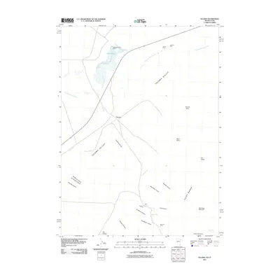
(7,522)- 2000 Map of Boca, 2003 Print
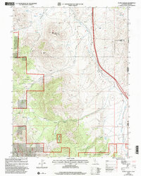
 2000 Boca2003 Print · USGSThe California-Nevada borderlands appear here as a vital water and transit corridor at the close of the twentieth century. Genealogists and researchers can trace the riverside settlements of Floriston, Hinton, and the Boca Townsite along the Truckee River.
 - 2000 Map of Evans Canyon, 2003 Print
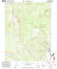
 2000 Evans Canyon2003 Print · USGSThe high Sierra country along the Nevada border comes into focus in this late-twentieth-century study of the Toiyabe National Forest. Researchers can trace old family ranching sites like Balls Ranch or locate geographic landmarks such as Haskell Peak and Burma Summit.
 - 2000 Map of Dog Valley, 2003 Print
 2000 Dog Valley2003 Print · USGSThe high Sierra ridges along the California-Nevada border are captured here at the turn of the millennium. Researchers can trace historic travel routes like Henness Pass Road and Emigrant Road past landmarks like Camp 21 (Site) and Babbitt Peak.
 - 2002 Map of Pine Park, 2005 Print
 2002 Pine Park2005 Print · USGSThe Utah and Nevada borderlands come into focus at the turn of the millennium, showing a landscape defined by state park boundaries and forest reserves. Local historians can trace cattle-era landmarks like Hamblin Ranch and crucial desert water sources such as Pine Park Spring and Schroeder Lake.
 - 2002 Map of Uvada, 2005 Print
 2002 Uvada2005 Print · USGSCrossing the high-desert border at the turn of the millennium, this area shows the vital intersection of rail and water in a remote basin. Genealogists and rail historians can trace the Union Pacific line as it connects the settlements of Uvada and Crestline.
 - 2011 Map of Spring Mountain, 2011 Print
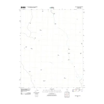
 2011 Spring Mountain2011 Print · USGSCovers Nevada, including Millard County, White Pine County, and other nearby areas
 - 2011 Map of Death Creek Reservoir, 2011 Print
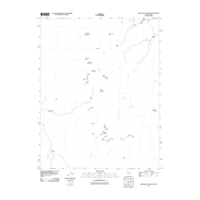
 2011 Death Creek Reservoir2011 Print · USGSCovers Nevada, including Box Elder County, Elko County, and other nearby areas
 - 2011 Map of Docs Pass, 2011 Print
 2011 Docs Pass2011 Print · USGSCovers Nevada, including Washington County, Lincoln County, and other nearby areas
 - 2011 Map of Dodge Spring, 2011 Print
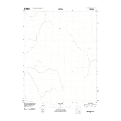 2011 Dodge Spring2011 Print · USGSCovers Nevada, including Washington County, Lincoln County, and other nearby areas
 - 2011 Map of Jackson Spring, 2011 Print
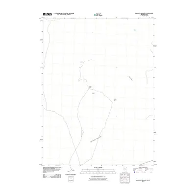 2011 Jackson Spring2011 Print · USGSCovers Nevada, including Box Elder County, Elko County, and other nearby areas
 - 2011 Map of Patterson Pass, 2011 Print
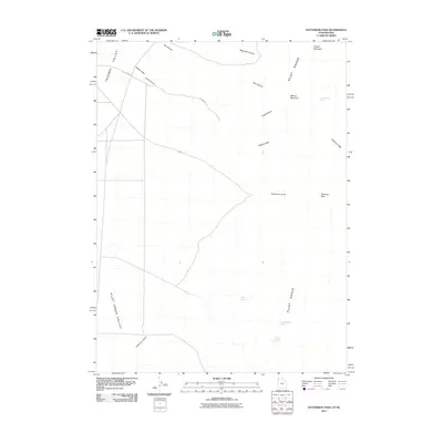 2011 Patterson Pass2011 Print · USGSCovers Nevada, including Box Elder County, Elko County, and other nearby areas
 - 2011 Map of Tecoma, 2011 Print
 2011 Tecoma2011 Print · USGSCovers Nevada, including Box Elder County, Elko County, and other nearby areas
 - 2011 Map of Scarecrow Peak, 2011 Print
 2011 Scarecrow Peak2011 Print · USGSCovers Nevada, including Washington County, Lincoln County, and other nearby areas
 - 2011 Map of Judd Mountain, 2011 Print
 2011 Judd Mountain2011 Print · USGSCovers Nevada, including Box Elder County, Elko County, and other nearby areas
 - 2011 Map of Pilot Peak, 2011 Print
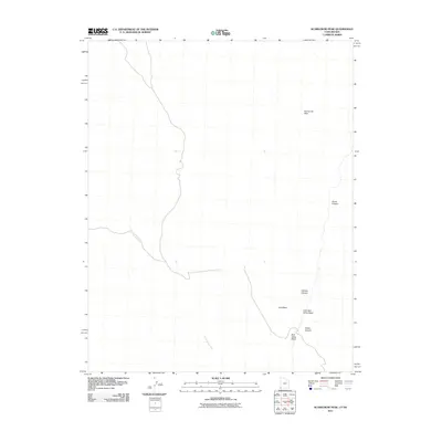
 2011 Pilot Peak2011 Print · USGSCovers Nevada, including Tooele County, Box Elder County, and other nearby areas
 - 2011 Map of Dairy Valley, 2011 Print
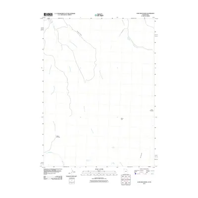
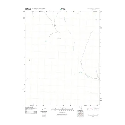
 2011 Dairy Valley2011 Print · USGSCovers Nevada, including Box Elder County, Elko County, and other nearby areas
 - 2011 Map of Prohibition Flat, 2011 Print
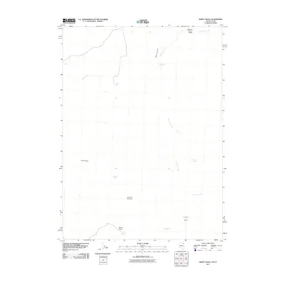
 2011 Prohibition Flat2011 Print · USGSCovers Nevada, including Iron County, Lincoln County, and other nearby areas
 - 2011 Map of Deer Lodge Canyon, 2011 Print
 2011 Deer Lodge Canyon2011 Print · USGSCovers Nevada, including State Line, Iron County, and other nearby areas
 - 2011 Map of Terry Benches, 2011 Print
 2011 Terry Benches2011 Print · USGSCovers Nevada, including Washington County, Lincoln County, and other nearby areas
 - 2011 Map of White Rock Peak, 2011 Print
 2011 White Rock Peak2011 Print · USGSCovers Nevada, including Iron County, Beaver County, and other nearby areas
 - 2011 Map of Hamlin Well, 2011 Print
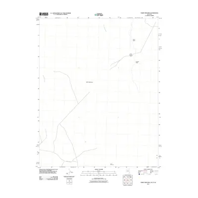
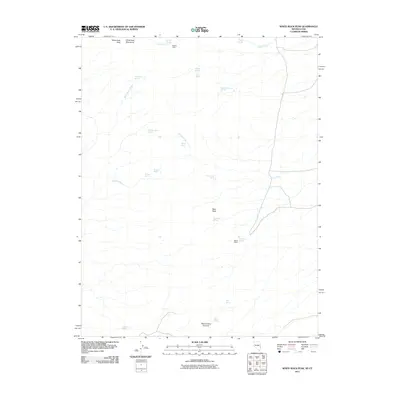
 2011 Hamlin Well2011 Print · USGSCovers Nevada, including Beaver County, Lincoln County, and other nearby areas
 - 2011 Map of Gleason Basin, 2011 Print
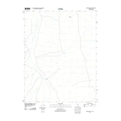
 2011 Gleason Basin2011 Print · USGSCovers Nevada, including Beaver County, Lincoln County, and other nearby areas
 - 2011 Map of Miller Wash, 2011 Print
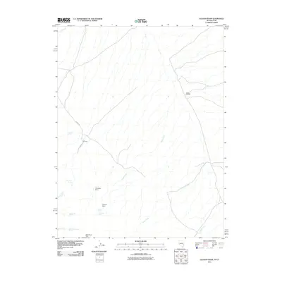
 2011 Miller Wash2011 Print · USGSCovers Nevada, including Beaver County, Lincoln County, and other nearby areas
 - 2011 Map of Rice Mountain, 2011 Print
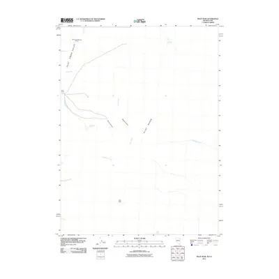
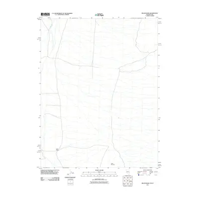
 2011 Rice Mountain2011 Print · USGSCovers Nevada, including Iron County, Lincoln County, and other nearby areas
 - 2011 Map of Pine Park, 2011 Print
 2011 Pine Park2011 Print · USGSCovers Nevada, including Washington County, Iron County, and other nearby areas
Showing maps 1-25 of 7,522
Top cities of Nevada
- Las Vegas historical maps
- Henderson historical maps
- Reno historical maps
- North Las Vegas historical maps
- Enterprise historical maps
- Spring Valley historical maps
See more
Top counties of Nevada
- Clark County historical maps
- Washoe County historical maps
- Carson City historical maps
- Lyon County historical maps
- Elko County historical maps
- Douglas County historical maps
See more
Frequently asked questions
- What are the different types of historical maps available for Nevada?
- What is the oldest map of Nevada?
- Where can I purchase historical maps of Nevada for my home or office?
- Where can I download high-res historical maps of Nevada?
- Are there historical topographic maps available for Nevada?
- Is there historical aerial imagery available for Nevada?
- Where are historical maps of Nevada sourced from?