2020s Maps of Otero County, New Mexico
Explore 266 historic maps of Otero County from the 2020s. These maps offer a rare glimpse into what life looked like during the 2020s — showing old roads, neighborhoods, homes, and landmarks that have changed or disappeared over time.
Whether you're researching your family's past, planning a metal detecting trip, or studying how Otero County's landscape evolved across the 2020s, these high-resolution maps are a powerful tool for exploring the history of this region.
- Focus on a specific era: All maps on this page are from the 2020s, giving you a focused view of this time period.
- See what’s changed: Compare century-old streets, trails, and buildings to today's modern landscape using overlays and satellite layers.
- Research with precision: Use these maps for genealogy, historical research, land use analysis, or educational projects.
- View, download, or print: Maps are fully viewable online in high resolution, and can be downloaded or printed for your own records.
Start exploring Otero County's history through authentic maps from the 2020s. This is your window into the past.
Otero County, NM maps
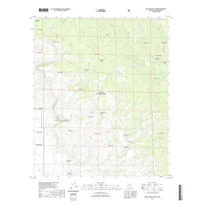
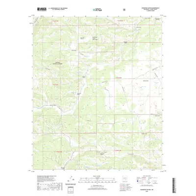
(266)- 2020 Map of Packsaddle Canyon, 2020 Print
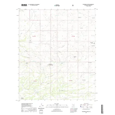 2020 Packsaddle Canyon2020 Print · USGSCovers Otero County, including United States, New Mexico, and other nearby areas
 - 2020 Map of Texas Hill, 2020 Print
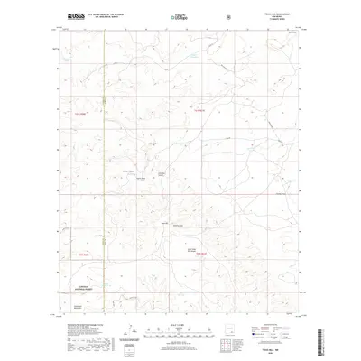 2020 Texas Hill2020 Print · USGSCovers Otero County, including Eddy County, United States, and other nearby areas
 - 2020 Map of El Paso Gap, 2020 Print
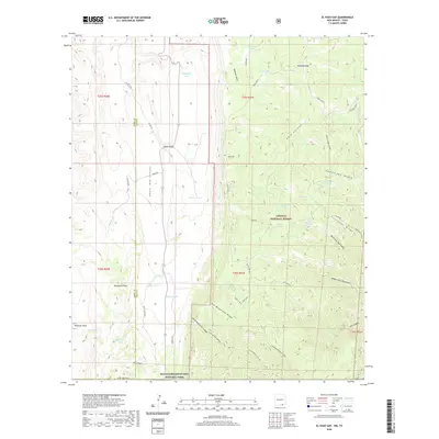 2020 El Paso Gap2020 Print · USGSCovers Otero County, including Eddy County, Culberson County, and other nearby areas
 - 2020 Map of Ares Peak, 2020 Print
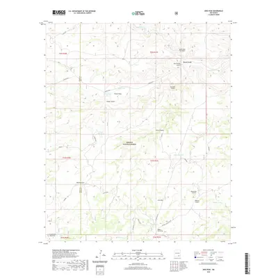 2020 Ares Peak2020 Print · USGSCovers Otero County, including Three Forks, Eddy County, and other nearby areas
 - 2020 Map of Pickett Hill, 2020 Print
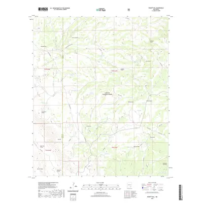 2020 Pickett Hill2020 Print · USGSCovers Otero County, including Eddy County, United States, and other nearby areas
 - 2020 Map of South Taylor Tank, 2020 Print
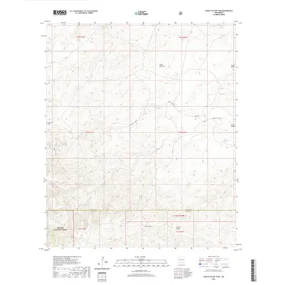 2020 South Taylor Tank2020 Print · USGSCovers Otero County, including Chaves County, United States, and other nearby areas
 - 2020 Map of La Paloma Canyon, 2020 Print
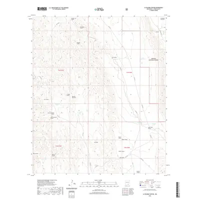 2020 La Paloma Canyon2020 Print · USGSCovers Otero County, including United States, New Mexico, and other nearby areas
 - 2020 Map of Lake Lucero, 2020 Print
 2020 Lake Lucero2020 Print · USGSCovers Otero County, including Doña Ana County, United States, and other nearby areas
 - 2020 Map of El Paso Canyon, 2020 Print
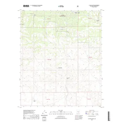 2020 El Paso Canyon2020 Print · USGSCovers Otero County, including Timberon, United States, and other nearby areas
 - 2020 Map of Bug Scuffle Canyon, 2020 Print
 2020 Bug Scuffle Canyon2020 Print · USGSCovers Otero County, including Timberon, United States, and other nearby areas
 - 2020 Map of Orogrande South, 2020 Print
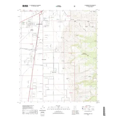
 2020 Orogrande South2020 Print · USGSCovers Otero County, including United States, New Mexico, and other nearby areas
 - 2020 Map of Alamo Mountain, 2020 Print
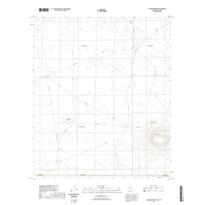 2020 Alamo Mountain2020 Print · USGSCovers Otero County, including Hudspeth County, United States, and other nearby areas
 - 2020 Map of Pinon, 2020 Print
 2020 Pinon2020 Print · USGSCovers Otero County, including Piñon, United States, and other nearby areas
 - 2020 Map of Woodson Canyon, 2020 Print
 2020 Woodson Canyon2020 Print · USGSCovers Otero County, including United States, New Mexico, and other nearby areas
 - 2020 Map of Cornucopia Ranch SE, 2020 Print
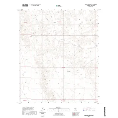 2020 Cornucopia Ranch SE2020 Print · USGSCovers Otero County, including United States, New Mexico, and other nearby areas
 - 2020 Map of Alamogordo South, 2020 Print
 2020 Alamogordo South2020 Print · USGSCovers Otero County, including Alamogordo, Boles Acres, and other nearby areas
 - 2020 Map of Firman Canyon, 2020 Print
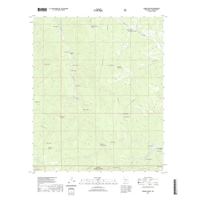 2020 Firman Canyon2020 Print · USGSCovers Otero County, including United States, New Mexico, and other nearby areas
 - 2020 Map of Owl Tank Canyon East, 2020 Print
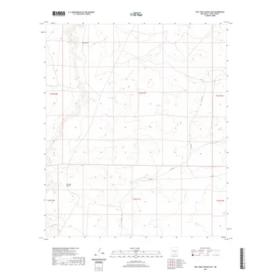 2020 Owl Tank Canyon East2020 Print · USGSCovers Otero County, including United States, New Mexico, and other nearby areas
 - 2020 Map of White Sands NE, 2020 Print
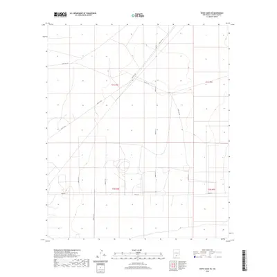 2020 White Sands NE2020 Print · USGSCovers Otero County, including United States, New Mexico, and other nearby areas
 - 2020 Map of Newman NW, 2020 Print
 2020 Newman NW2020 Print · USGSCovers Otero County, including Doña Ana County, United States, and other nearby areas
 - 2020 Map of Turkey Peak, 2020 Print
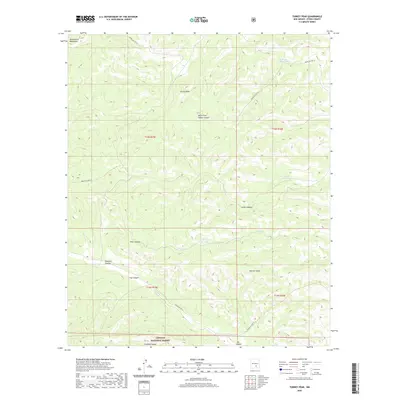 2020 Turkey Peak2020 Print · USGSCovers Otero County, including United States, New Mexico, and other nearby areas
 - 2020 Map of Culp Draw, 2020 Print
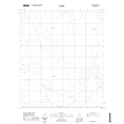 2020 Culp Draw2020 Print · USGSCovers Otero County, including Hudspeth County, United States, and other nearby areas
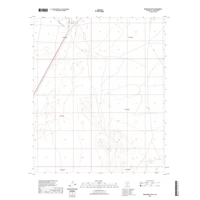
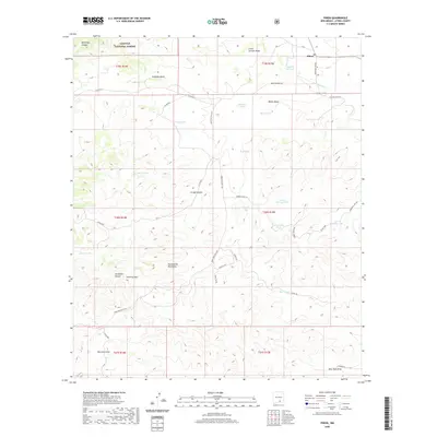
 - 2020 Map of Desert, 2020 Print
 2020 Desert2020 Print · USGSCovers Otero County, including Alvarado, United States, and other nearby areas
 - 2020 Map of Sheeppen Canyon, 2020 Print
 2020 Sheeppen Canyon2020 Print · USGSCovers Otero County, including Lincoln County, United States, and other nearby areas
 - 2020 Map of McVeigh Hills, 2020 Print
 2020 McVeigh Hills2020 Print · USGSCovers Otero County, including Hudspeth County, United States, and other nearby areas
Showing maps 1-25 of 266
Top cities of Otero County
- Alamogordo historical maps
- Tularosa historical maps
- Boles Acres historical maps
- Alamorosa historical maps
- High Rolls historical maps
- Cloudcroft historical maps
See more
Frequently asked questions
- What are the different types of historical maps available for Otero County?
- What is the oldest map of Otero County?
- Where can I purchase historical maps of Otero County for my home or office?
- Where can I download high-res historical maps of Otero County?
- Are there historical topographic maps available for Otero County?
- Is there historical aerial imagery available for Otero County?
- Where are historical maps of Otero County sourced from?