2010s Maps of Otero County, New Mexico
Explore 399 historic maps of Otero County from the 2010s. These maps offer a rare glimpse into what life looked like during the 2010s — showing old roads, neighborhoods, homes, and landmarks that have changed or disappeared over time.
Whether you're researching your family's past, planning a metal detecting trip, or studying how Otero County's landscape evolved across the 2010s, these high-resolution maps are a powerful tool for exploring the history of this region.
- Focus on a specific era: All maps on this page are from the 2010s, giving you a focused view of this time period.
- See what’s changed: Compare century-old streets, trails, and buildings to today's modern landscape using overlays and satellite layers.
- Research with precision: Use these maps for genealogy, historical research, land use analysis, or educational projects.
- View, download, or print: Maps are fully viewable online in high resolution, and can be downloaded or printed for your own records.
Start exploring Otero County's history through authentic maps from the 2010s. This is your window into the past.
Otero County, NM maps
(399)- 2010 Map of Cornucopia Ranch SE, 2010 Print
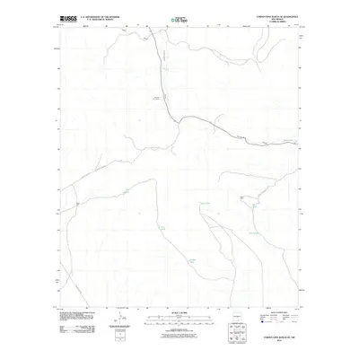 2010 Cornucopia Ranch SE2010 Print · USGSOtero County ranching lands are captured in the early twenty-first century, revealing the essential infrastructure of desert survival. Trace the network of cattle tanks and remote outposts like Runyan Line Shack, Iron Tank, and Double Tank.
 - 2010 Map of Shiloh Hills SE, 2010 Print
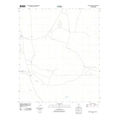 2010 Shiloh Hills SE2010 Print · USGSRanching life in the Otero County borderlands is centered on vital water resources and isolated homesteads. Researchers can trace the layout of McArron Ranch and find remote desert landmarks like Bennett Tank and Cornudas Draw.
 - 2010 Map of Shiloh Hills, 2010 Print
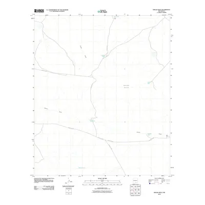 2010 Shiloh Hills2010 Print · USGSThe high desert of Otero County comes into focus in this late-career survey of the ranching country around the Shiloh Hills. Researchers can trace the essential water network of the era, from family landmarks like Coffelt Tank to remote outposts like Earl Well.
 - 2010 Map of Pipeline Canyon, 2010 Print
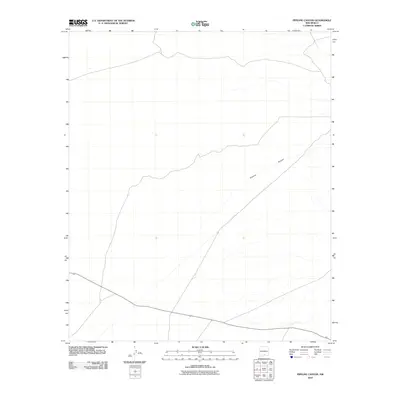 2010 Pipeline Canyon2010 Print · USGSOtero County is captured in this modern survey of its desert terrain, showing the landscape just before the last decade of change. You can trace the topographical details of Pipeline Canyon and follow the surveyed boundaries of DS DR through this arid region.
 - 2010 Map of Indian Draw, 2010 Print
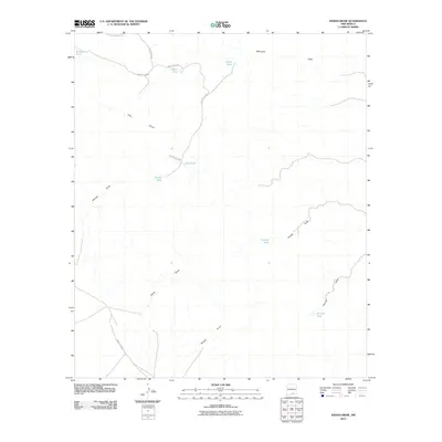 2010 Indian Draw2010 Print · USGSSoutheastern New Mexico in the early twenty-first century is captured here as a landscape of remote ranching outposts and ephemeral desert drainages. Researchers can trace the essential water infrastructure of the era through family-named sites like McLane Tank and Otto Tank along the winding Indian Draw.
 - 2010 Map of Sheep Draw, 2010 Print
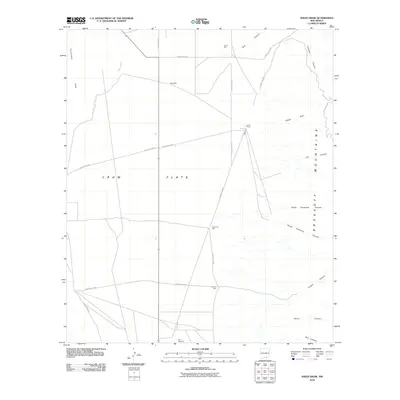 2010 Sheep Draw2010 Print · USGSOtero County at the start of the twenty-first century reveals a ranching landscape where the Crow Flats basin meets the Brokeoff Mountains. Researchers can trace old water sources and ranching infrastructure like Lewis Ranch, Hammock Well, and the Perry Windmill.
 - 2010 Map of Alamo Mountain NE, 2010 Print
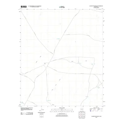 2010 Alamo Mountain NE2010 Print · USGSOtero County ranching lands are captured here during the early twenty-first century, showing a landscape defined by water scarcity and livestock management. Researchers can trace the layout of the Hat Ranch and locate local landmarks like Tulloch Lake and the Perry Windmill.
 - 2010 Map of Culp Draw, 2010 Print
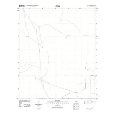 2010 Culp Draw2010 Print · USGSOtero County at the start of the millennium remains a quiet expanse of ranch land and desert drainages. Researchers can trace the essential water infrastructure of the era through sites like Jim Tank, Lost Pond, and the wide path of Fourmile Draw.
 - 2010 Map of Cornucopia Canyon, 2010 Print
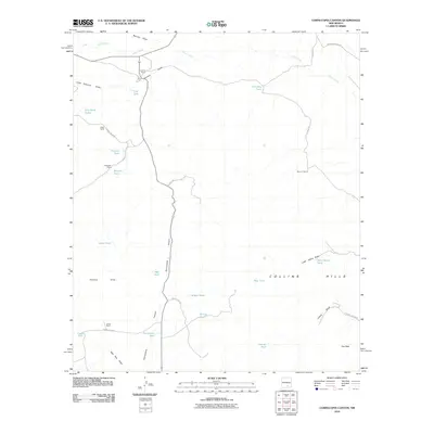 2010 Cornucopia Canyon2010 Print · USGSChaves County ranching life is preserved in this 2010 survey of the high desert drainage basins. Genealogists and historians can locate family landmarks like James Ranch and Gage Ranch alongside water features like John Gentry Tank.
 - 2010 Map of B T Ranch, 2010 Print
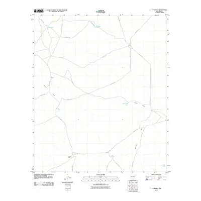 2010 B T Ranch2010 Print · USGSOtero County ranching culture is documented here in the early twenty-first century, showing a landscape defined by water and wide-open ranges. Researchers can locate remote outposts like B T Ranch and trace vital water sources such as CCC Tank and Badger Well.
 - 2010 Map of Owl Tank Canyon East, 2010 Print
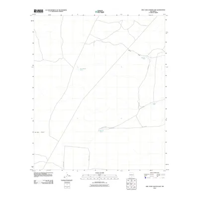 2010 Owl Tank Canyon East2010 Print · USGSOtero County's high desert landscape is documented here in the early twenty-first century, showing a remote region defined by its water management. Researchers can locate isolated landmarks like Roberts Tank, Johno Tank, and the winding Shiloh Draw.
 - 2010 Map of El Paso Draw, 2010 Print
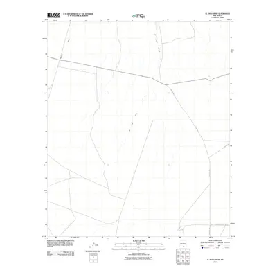 2010 El Paso Draw2010 Print · USGSOtero County, New Mexico, is captured here in the early twenty-first century, showing a desert landscape defined by ephemeral waterways. Genealogists and desert explorers can trace the paths of El Paso Draw and Wildcat Draw alongside rural routes like County Rd F052.
 - 2010 Map of Alamo Mountain, 2010 Print
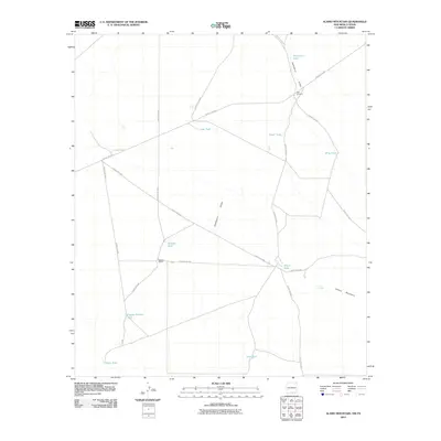 2010 Alamo Mountain2010 Print · USGSOtero County ranching and water management are documented here in the early twenty-first century. Researchers can locate named landmarks and isolated water sources like Bennett Ranch, Pate Windmill, and Alamo Spring.
 - 2010 Map of Hackberry Hill, 2010 Print
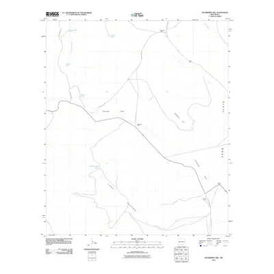 2010 Hackberry Hill2010 Print · USGSOtero County's high desert ranching country is documented here in the early twenty-first century. Researchers can trace the water infrastructure and roads serving Templeton Ranch, Lewis Ranch, and family landmarks like Perry Well.
 - 2010 Map of Lewis Canyon, 2010 Print
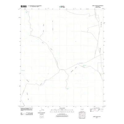 2010 Lewis Canyon2010 Print · USGSOtero County at the start of the 21st century remains a landscape defined by its arid canyons and wide open spaces. Researchers can trace historic water sources and ranching infrastructure through features like School Girl Tank, Lewis Canyon, and the expansive Crow Flats.
 - 2010 Map of Bassett Lake, 2010 Print
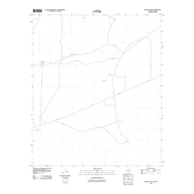 2010 Bassett Lake2010 Print · USGSOtero County ranching lands and desert terrain are documented here at the turn of the century. Genealogists and land historians can trace rural infrastructure and water rights through features like Bassett Lake, Key Tank, and Camaleche Tanks.
 - 2010 Map of Cleones Tank, 2010 Print
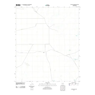 2010 Cleones Tank2010 Print · USGSOtero County's high desert ranching landscape is documented here during the early twenty-first century. Researchers can trace the infrastructure of remote livestock operations through named sites like Stevens Ranch and various water catchments such as Cleones Tank and Number 11 Tank.
 - 2010 Map of Bitter Creek, 2010 Print
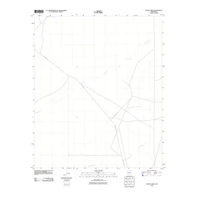 2010 Bitter Creek2010 Print · USGSThis high-desert region of Otero County was documented in the early twenty-first century, reflecting its role within the White Sands Missile Range. Researchers can trace the military road network including WSMR P Route 9 and the course of Three Rivers.
 - 2010 Map of Fifteenmile Lake, 2010 Print
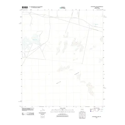 2010 Fifteenmile Lake2010 Print · USGSThe Tularosa Basin in the early twenty-first century shows a landscape where military activity and desert geology overlap. Researchers can trace restricted access roads like WSMR P Route 6 and unique hydrology such as Big Salt Lake and Fifteenmile Lake.
 - 2010 Map of Lumley Lake NE, 2010 Print
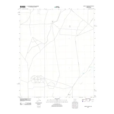 2010 Lumley Lake NE2010 Print · USGSThe Tularosa Basin desert appears in the early twenty-first century as a landscape of military range roads and isolated outposts. Researchers can trace the path of Three Rivers past MacDonald Camp and the vast terrain of The Sands.
 - 2010 Map of Oscura, 2010 Print
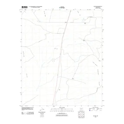 2010 Oscura2010 Print · USGSLincoln County’s high desert landscape is shown here in the early twenty-first century, centered on the small settlements and mining history of the region. Researchers can locate ranching landmarks like Brownstein Windmill or trace the geography of the Rey Mine and North Siding.
 - 2010 Map of Apache Summit, 2010 Print
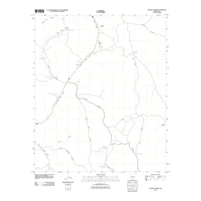 2010 Apache Summit2010 Print · USGSApache Summit sits atop the Otero County highlands in the early twenty-first century, revealing a ranching landscape dependent on water management. Genealogists and historians can trace family-named sites like Pete Gaines Tank and the Mescalero Apache Pit near Harley Mountain.
 - 2010 Map of Wahalee Canyon, 2010 Print
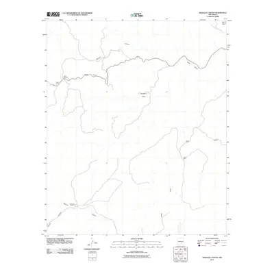 2010 Wahalee Canyon2010 Print · USGSOtero County's high-desert ranching country is documented here during the early twenty-first century. Researchers can trace the footprints of local cattle operations and isolated landmarks like Peters Ranch, Cow Camp Number 2, and Half Moon Valley.
 - 2010 Map of Sierra Blanca Peak, 2010 Print
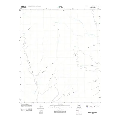 2010 Sierra Blanca Peak2010 Print · USGSThe high Sierra Blanca range of New Mexico is captured here in the early twenty-first century, documenting a landscape of steep canyons and remote springs. Researchers can trace land features like The Rinconada and isolated water sources including Cienegita Springs and Miserable Springs.
 - 2010 Map of Cornudas Mountain, 2010 Print
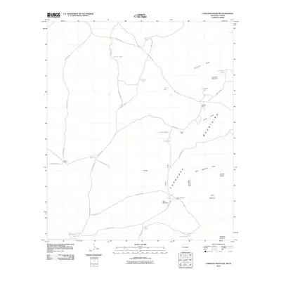 2010 Cornudas Mountain2010 Print · USGSOtero County, New Mexico, is shown here in the early twenty-first century, revealing a high-desert landscape shaped by ranching and resource management. Researchers can trace land use through features like the Cornudas Ranch, Alamo Windmill, and the Cornudas Mountain Prospect.
Showing maps 1-25 of 399
Top cities of Otero County
- Alamogordo historical maps
- Tularosa historical maps
- Boles Acres historical maps
- Alamorosa historical maps
- High Rolls historical maps
- Cloudcroft historical maps
See more
Frequently asked questions
- What are the different types of historical maps available for Otero County?
- What is the oldest map of Otero County?
- Where can I purchase historical maps of Otero County for my home or office?
- Where can I download high-res historical maps of Otero County?
- Are there historical topographic maps available for Otero County?
- Is there historical aerial imagery available for Otero County?
- Where are historical maps of Otero County sourced from?