1970s Maps of Burleigh County, North Dakota
Explore 34 historic maps of Burleigh County from the 1970s. These maps offer a rare glimpse into what life looked like during the 1970s — showing old roads, neighborhoods, homes, and landmarks that have changed or disappeared over time.
Whether you're researching your family's past, planning a metal detecting trip, or studying how Burleigh County's landscape evolved across the 1970s, these high-resolution maps are a powerful tool for exploring the history of this region.
- Focus on a specific era: All maps on this page are from the 1970s, giving you a focused view of this time period.
- See what’s changed: Compare century-old streets, trails, and buildings to today's modern landscape using overlays and satellite layers.
- Research with precision: Use these maps for genealogy, historical research, land use analysis, or educational projects.
- View, download, or print: Maps are fully viewable online in high resolution, and can be downloaded or printed for your own records.
Start exploring Burleigh County's history through authentic maps from the 1970s. This is your window into the past.
Burleigh County, ND maps
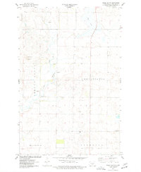
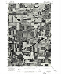
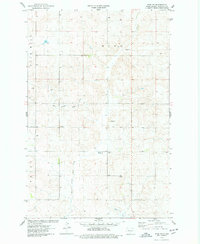
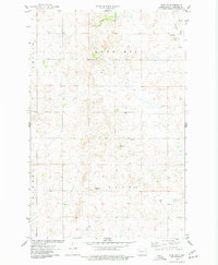
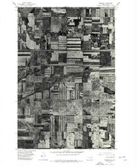
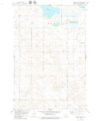
(34)- 1971 Map of Huff NE, 1973 Print
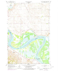
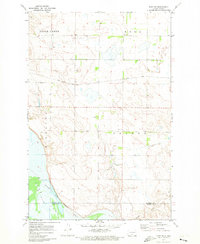 1971 Huff NE1973 Print · USGSThe Missouri River breaks into the prairie south of Bismarck in the early seventies, showing a landscape defined by ranching and historic boundaries. Trace the Old Fort Rice Military Reservation Boundary and locate local landmarks like Glendale Ch and Telfer Sch.
 - 1971 Map of Moffit NW, 1973 Print
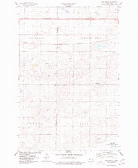
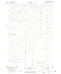
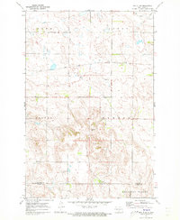 1971 Moffit NW1973 Print · USGSCentral North Dakota’s rugged breaks and prairie flats are captured here in the early seventies as the railroad and ranching economy shaped the land. Genealogists and local historians can trace family-named landmarks like Black Leg Ranch and the rail siding at Brittin.
 - 1971 Map of Moffit, 1973 Print
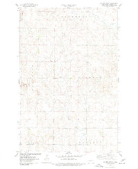
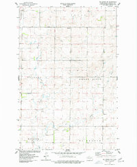
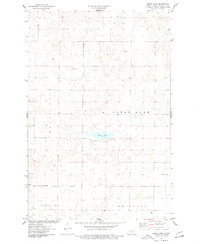
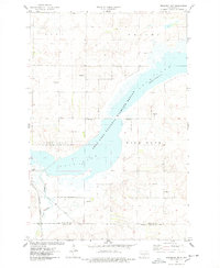
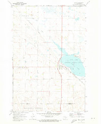 1971 Moffit1973 Print · USGSThe rural landscape around Moffit comes into focus during the early 1970s, as the Burlington Northern and Soo Line railroads cross the prairie. Researchers can trace local landmarks like Moffit Cemetery, Moffit Butte, and the protected waters of Long Lake.
 - 1975 Map of McKenzie
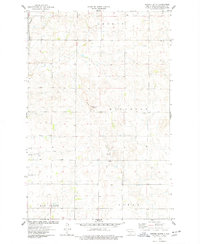
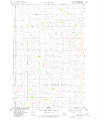
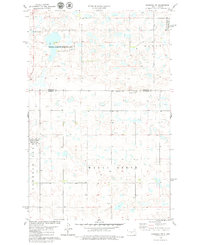
 1975 McKenzie1975 Print · USGSThe North Dakota plains near Mc Kenzie are captured in the mid-seventies, showing the precise layout of the region's agricultural heartland. Researchers can trace the meandering paths of Apple Creek and Random Creek as they wind through a patchwork of prairie farmsteads.2 unique versions available
 - 1975 Map of Sibley Butte, 1977 Print
 1975 Sibley Butte1977 Print · USGSBurleigh County during the mid-seventies reveals a structured prairie landscape organized into the townships of Trygg and Christiania. Researchers can locate specific landmarks like the settlement of Duemeland and numerous Gravel Pits near Sibley Butte.
 - 1975 Map of Sterling, 1977 Print
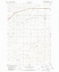
 1975 Sterling1977 Print · USGSSterling and the central North Dakota plains are captured in the mid-seventies, showing the intersection of vital transport corridors. Genealogists and historians can trace the layout of the Sterling townsite and the rural tracts surrounding Random Creek.2 unique versions available
 - 1975 Map of Lake Geneva, 1977 Print
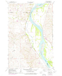
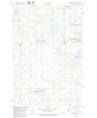
 1975 Lake Geneva1977 Print · USGSThe Kidder County prairie during the mid-seventies shows a landscape of glacial lakes and critical transport lines. Researchers can trace the Burlington Northern rail route through Driscoll and locate landmarks like Lake Geneva and the settlement of DeWall.
 - 1975 Map of Solberg Butte, 1977 Print
 1975 Solberg Butte1977 Print · USGSThe rolling prairies of Burleigh County in the mid-1970s reveal a landscape of rural townships and family-named landmarks. Genealogists can locate the Swedish Cem near Naughton, while hydrologists can trace the headwaters of West Branch Apple Creek.
 - 1975 Map of Wing SE, 1977 Print
 1975 Wing SE1977 Print · USGSBurleigh County prairie life in the mid-seventies is defined by the winding East Branch Apple Creek and scattered rural townships. Researchers can locate the Aholan Cem, the Apostolic Ch, and family landmarks like Rock Hill.
 - 1975 Map of Stony Slough, 1977 Print
 1975 Stony Slough1977 Print · USGSKidder and Burleigh counties are captured in the mid-1970s, showcasing the vast township grids of the North Dakota prairie. Genealogists and researchers can trace property lines through Lein and Excelsior or locate landmarks like Stony Slough and local Gravel Pits.
 - 1975 Map of McKenzie NW, 1977 Print
 1975 McKenzie NW1977 Print · USGSThe rural expanses of Burleigh County are shown during the mid-seventies, featuring the organized township lands of Menoken and Trygg. Genealogists and local historians can locate the Sibley Cem, the local Townhall, and several Gravel Pits scattered along Apple Creek.
 - 1975 Map of Keever Butte, 1977 Print
 1975 Keever Butte1977 Print · USGSThe prairie landscape of Burleigh County is captured here in the mid-1970s, showcasing a network of rural townships and local landmarks. Genealogists and historians can locate the Naughton Sch, the settlement of Arnold, and prominent features like Keever Butte and Hay Creek.
 - 1975 Map of Wing SW, 1977 Print
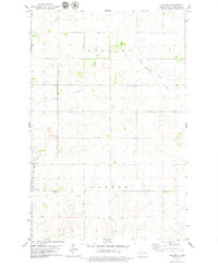
 1975 Wing SW1977 Print · USGSNorth Dakota's rural heartland is captured here in the mid-seventies, showing a landscape shaped by prairie agriculture and township boundaries. Genealogists and local historians can locate Union Cem, trace the East Branch Apple Creek, and find several Gravel Pits and rural wells.
 - 1975 Map of Clear Lake, 1977 Print
 1975 Clear Lake1977 Print · USGSThe Burleigh County prairie is documented here during the mid-seventies, showing a landscape defined by township grids and small water bodies. Genealogists and local historians can locate the Zion Ch, the local Cem, and family-named townships like Lein.
 - 1975 Map of Regan SE, 1977 Print
 1975 Regan SE1977 Print · USGSNorth Dakota's Burleigh County prairie is captured here in the mid-seventies, showing a landscape defined by township boundaries and agricultural infrastructure. Genealogists and historians can locate the Ghylin-Union Cem and trace the course of the West Branch Apple Creek near the local Townhall.
 - 1975 Map of Driscoll, 1977 Print
 1975 Driscoll1977 Print · USGSThis mid-1970s survey of the North Dakota prairie captures Driscoll at a time of steady rail and utility development. Researchers can trace family roots at the Driscoll Cem and explore the natural hydrology of Cottonwood Lake and Random Slough.2 unique versions available
 - 1975 Map of Menoken, 1977 Print
 1975 Menoken1977 Print · USGSAgricultural patterns in Burleigh County are captured in the mid-1970s, showing the high-contrast geometry of the North Dakota prairie. Researchers can trace the winding course of Apple Creek and the small-town layout of Menoken at the crossroads of the rail and highway system.2 unique versions available
 - 1975 Map of Braddock NW, 1978 Print
 1975 Braddock NW1978 Print · USGSThe Missouri Plateau of North Dakota is captured here in the mid-seventies, centered on the expansive waters of the Long Lake National Wildlife Refuge. Researchers can trace the path of the Soo Line railroad and locate small prairie landmarks like the Landing Strip and Long Lake Creek.
 - 1975 Map of Braddock NE, 1978 Print
 1975 Braddock NE1978 Print · USGSKidder and Burleigh counties are shown in the mid-1970s, a period defined by vast wildlife conservation and prairie agriculture. Researchers can trace land boundaries in Wild Rose and Baker or locate natural landmarks like Crown Hill and Mud Lake.
 - 1976 Map of Harmon, 1977 Print
 1976 Harmon1977 Print · USGSThe Missouri River valley north of Bismarck reveals a landscape of ancient settlements and early rail corridors in the mid-seventies. Trace the historic Double Ditch Indian Village and find remote rural landmarks like Square Butte School No 1 and Harmon.
 - 1976 Map of Sugarloaf Butte, 1977 Print
 1976 Sugarloaf Butte1977 Print · USGSThe Missouri River valley south of Bismarck is captured here during the mid-seventies as the reservoir waters of Lake Oahe dominated the lowlands. Researchers can trace the Old Fort Rice Military Reservation Boundary or locate local landmarks like Stewartsdale Cem and Sugarloaf Butte.
 - 1978 Map of Goodrich SW, 1979 Print
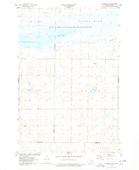
 1978 Goodrich SW1979 Print · USGSThe prairie pothole region of Burleigh and Sheridan Counties is captured in the late seventies, showing a landscape of scattered wetlands and conservation tracts. Researchers can trace the boundaries of the National Waterfowl Production Area or locate local landmarks like Sperry Lake and Hazel Grove.
 - 1978 Map of Woodhouse Lake, 1979 Print
 1978 Woodhouse Lake1979 Print · USGSFour North Dakota counties meet in this late 1970s landscape of prairie potholes and conservation lands. Genealogists and local historians can trace township boundaries in Mauch and Hazel Grove or locate the Karl T Frederick State Game Management Area.
 - 1979 Map of Baldwin
 1979 Baldwin1979 Print · USGSThe North Dakota prairie near Bismarck comes to life in the late seventies, showing the rail-dependent community of Baldwin. Genealogists and historians can trace the SOO LINE tracks, locate the Baldwin Cem, and identify landmarks like Twin Buttes.
 - 1979 Map of Harriet Lake
 1979 Harriet Lake1979 Print · USGSThe North Dakota prairie in the late seventies is captured here at the intersection of Wing and Lein townships. Genealogists and local historians can locate the Zion Ch and its Cem, alongside the Townhall and conservation areas like Harriet Lake.
Showing maps 1-25 of 34
Top cities of Burleigh County
- Bismarck historical maps
- Lincoln historical maps
- Sterling historical maps
- Driscoll historical maps
- Menoken historical maps
- McKenzie historical maps
See more
Frequently asked questions
- What are the different types of historical maps available for Burleigh County?
- What is the oldest map of Burleigh County?
- Where can I purchase historical maps of Burleigh County for my home or office?
- Where can I download high-res historical maps of Burleigh County?
- Are there historical topographic maps available for Burleigh County?
- Is there historical aerial imagery available for Burleigh County?
- Where are historical maps of Burleigh County sourced from?