2000s (21st Century) Maps of Mountrail County, North Dakota
Explore 300 historic maps of Mountrail County from the 2000s (21st Century). These maps offer a rare glimpse into what life looked like during the 2000s — showing old roads, neighborhoods, homes, and landmarks that have changed or disappeared over time.
Whether you're researching your family's past, planning a metal detecting trip, or studying how Mountrail County's landscape evolved across the 2000s, these high-resolution maps are a powerful tool for exploring the history of this region.
- Focus on a specific era: All maps on this page are from the 2000s, giving you a focused view of this time period.
- See what’s changed: Compare century-old streets, trails, and buildings to today's modern landscape using overlays and satellite layers.
- Research with precision: Use these maps for genealogy, historical research, land use analysis, or educational projects.
- View, download, or print: Maps are fully viewable online in high resolution, and can be downloaded or printed for your own records.
Start exploring Mountrail County's history through authentic maps from the 2000s. This is your window into the past.
Mountrail County, ND maps
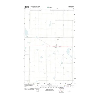
(300)- 2011 Map of Makoti, 2011 Print
 2011 Makoti2011 Print · USGSCovers Mountrail County, including Parshall, Makoti, and other nearby areas
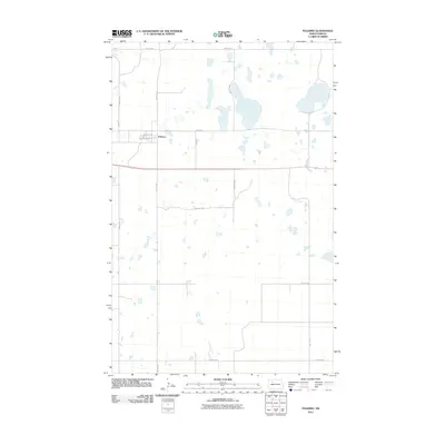
 - 2011 Map of Makoti SW, 2011 Print
 2011 Makoti SW2011 Print · USGSCovers Mountrail County, including Parshall, White Shield, and other nearby areas
 - 2011 Map of Roseglen, 2011 Print
 2011 Roseglen2011 Print · USGSCovers Mountrail County, including Parshall, Roseglen, and other nearby areas
 - 2011 Map of Wabek, 2011 Print
 2011 Wabek2011 Print · USGSCovers Mountrail County, including Parshall, Prairie Junction, and other nearby areas
 - 2011 Map of Parshall, 2011 Print
 2011 Parshall2011 Print · USGSCovers Mountrail County, including New Town, Parshall, and other nearby areas
 - 2011 Map of Parshall SE, 2011 Print
 2011 Parshall SE2011 Print · USGSCovers Mountrail County, including Parshall, White Shield, and other nearby areas
 - 2011 Map of Sanish SW, 2011 Print
 2011 Sanish SW2011 Print · USGSCovers Mountrail County, including New Town, Four Bears Segment, and other nearby areas
 - 2011 Map of Sanish NW, 2011 Print
 2011 Sanish NW2011 Print · USGSCovers Mountrail County, including New Town, Four Bears Segment, and other nearby areas
 - 2011 Map of Parshall SW, 2011 Print
 2011 Parshall SW2011 Print · USGSCovers Mountrail County, including Parshall, White Shield, and other nearby areas
 - 2011 Map of Parshall NE, 2011 Print
 2011 Parshall NE2011 Print · USGSCovers Mountrail County, including Parshall, United States, and other nearby areas
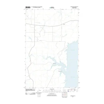
 - 2011 Map of Shell Creek Bay, 2011 Print
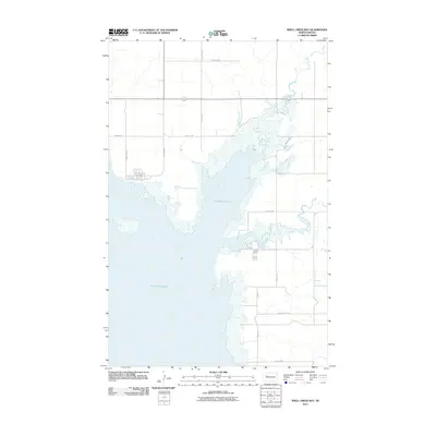 2011 Shell Creek Bay2011 Print · USGSCovers Mountrail County, including New Town, Parshall, and other nearby areas
 - 2011 Map of New Town SE, 2011 Print
 2011 New Town SE2011 Print · USGSCovers Mountrail County, including New Town, Parshall, and other nearby areas
 - 2011 Map of Sanish SE, 2011 Print
 2011 Sanish SE2011 Print · USGSCovers Mountrail County, including New Town, Mandaree, and other nearby areas
 - 2011 Map of New Town, 2011 Print
 2011 New Town2011 Print · USGSCovers Mountrail County, including New Town, New Town, and other nearby areas
 - 2011 Map of Sanish, 2011 Print
 2011 Sanish2011 Print · USGSCovers Mountrail County, including New Town, New Town, and other nearby areas
 - 2011 Map of New Town SW, 2011 Print
 2011 New Town SW2011 Print · USGSCovers Mountrail County, including New Town, Parshall, and other nearby areas
 - 2011 Map of Coulee, 2011 Print
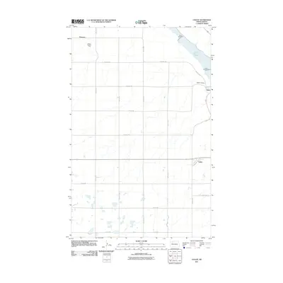 2011 Coulee2011 Print · USGSCovers Mountrail County, including Baden, Coulee, and other nearby areas
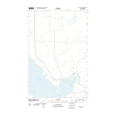
 - 2011 Map of Rat Lake, 2011 Print
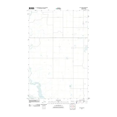 2011 Rat Lake2011 Print · USGSCovers Mountrail County, including McKenzie County, United States, and other nearby areas
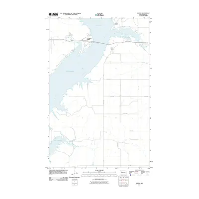
 - 2011 Map of Lostwood, 2011 Print
 2011 Lostwood2011 Print · USGSCovers Mountrail County, including Lostwood, Wassaic, and other nearby areas
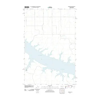
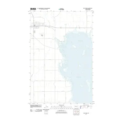
 - 2011 Map of Powers Lake, 2011 Print
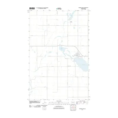 2011 Powers Lake2011 Print · USGSCovers Mountrail County, including Powers Lake, Burke County, and other nearby areas
 - 2011 Map of Belden, 2011 Print
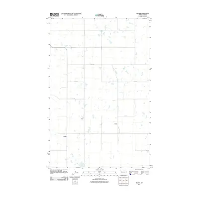 2011 Belden2011 Print · USGSCovers Mountrail County, including Belden, United States, and other nearby areas
 - 2011 Map of Ross, 2011 Print
 2011 Ross2011 Print · USGSCovers Mountrail County, including Ross, United States, and other nearby areas
 - 2011 Map of Palermo, 2011 Print
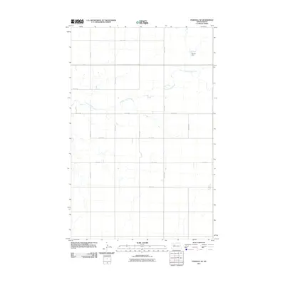
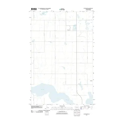
 2011 Palermo2011 Print · USGSCovers Mountrail County, including Palermo, United States, and other nearby areas
 - 2011 Map of Rat Lake SE, 2011 Print
 2011 Rat Lake SE2011 Print · USGSCovers Mountrail County, including New Town, Four Bears Segment, and other nearby areas
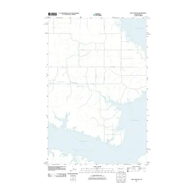
 - 2011 Map of Charlson NE, 2011 Print
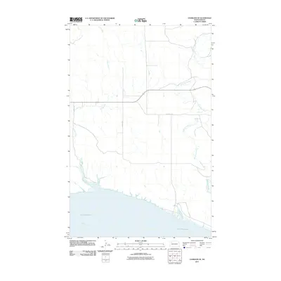 2011 Charlson NE2011 Print · USGSCovers Mountrail County, including Williams County, McKenzie County, and other nearby areas
Showing maps 1-25 of 300
Top cities of Mountrail County
- New Town historical maps
- Stanley historical maps
- Plaza historical maps
- Palermo historical maps
- White Earth historical maps
- Manitou historical maps
See more
Frequently asked questions
- What are the different types of historical maps available for Mountrail County?
- What is the oldest map of Mountrail County?
- Where can I purchase historical maps of Mountrail County for my home or office?
- Where can I download high-res historical maps of Mountrail County?
- Are there historical topographic maps available for Mountrail County?
- Is there historical aerial imagery available for Mountrail County?
- Where are historical maps of Mountrail County sourced from?