2010s Maps of Mountrail County, North Dakota
Explore 180 historic maps of Mountrail County from the 2010s. These maps offer a rare glimpse into what life looked like during the 2010s — showing old roads, neighborhoods, homes, and landmarks that have changed or disappeared over time.
Whether you're researching your family's past, planning a metal detecting trip, or studying how Mountrail County's landscape evolved across the 2010s, these high-resolution maps are a powerful tool for exploring the history of this region.
- Focus on a specific era: All maps on this page are from the 2010s, giving you a focused view of this time period.
- See what’s changed: Compare century-old streets, trails, and buildings to today's modern landscape using overlays and satellite layers.
- Research with precision: Use these maps for genealogy, historical research, land use analysis, or educational projects.
- View, download, or print: Maps are fully viewable online in high resolution, and can be downloaded or printed for your own records.
Start exploring Mountrail County's history through authentic maps from the 2010s. This is your window into the past.
Mountrail County, ND maps
(180)- 2011 Map of Makoti, 2011 Print
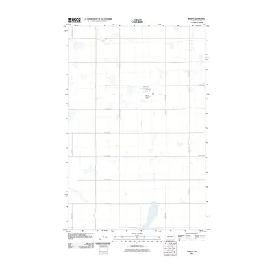 2011 Makoti2011 Print · USGSThe rural prairie landscape around Ward County is captured here in the early twenty-first century, centered on the small settlement of Makoti. Researchers can trace the section-line grid of the High Plains and locate the Makoti Municipal Airport and the local streets of 3rd Ave and 4th Ave.
 - 2011 Map of Makoti SW, 2011 Print
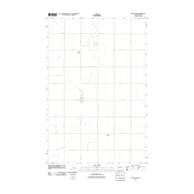 2011 Makoti SW2011 Print · USGSAgricultural North Dakota at the turn of the decade is defined by its precise road grid and prairie drainage systems. Researchers can locate family landmarks like the Roseglen Cemetery and trace the paths of Deepwater Creek and Lake Susie.
 - 2011 Map of Roseglen, 2011 Print
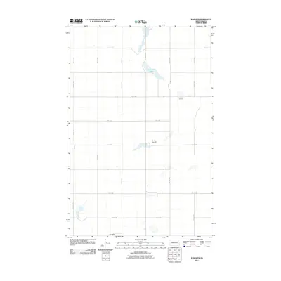 2011 Roseglen2011 Print · USGSRoseglen and the surrounding prairie are captured here in the early twenty-first century, showing the enduring grid of the North Dakota township system. Researchers can locate the Hiddenwood Cemetery or trace the drainage patterns around Hiddenwood Lake and Round Top Hill.
 - 2011 Map of Wabek, 2011 Print
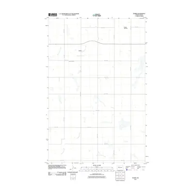 2011 Wabek2011 Print · USGSThe rural expanse of Mountrail County in the early twenty-first century is preserved here, centered on the small settlement of Wabek. Genealogists and local historians can locate the Lutheran Cemetery and trace the winding paths of East Fork Shell Creek and Deepwater Creek.
 - 2011 Map of Parshall, 2011 Print
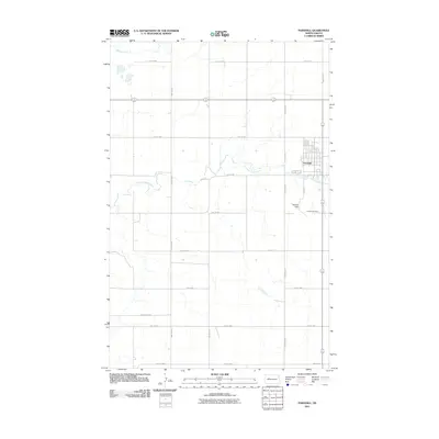 2011 Parshall2011 Print · USGSParshall and the surrounding North Dakota prairie are captured here in the early twenty-first century as the agricultural grid meets the winding Shell Creek. Local researchers can locate family plots at Parshall Cemetery or trace the regional road network along McLean City Rd and Hankins Field.
 - 2011 Map of Parshall SE, 2011 Print
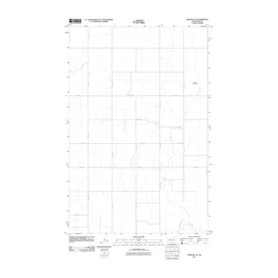 2011 Parshall SE2011 Print · USGSThe rural prairie south of Parshall is captured here just after the turn of the millennium, showing a landscape defined by its rigid section-line roads. Researchers can trace the drainage of Deepwater Creek and locate local landmarks such as Peterson Lake Dam.
 - 2011 Map of Sanish SW, 2011 Print
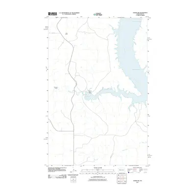 2011 Sanish SW2011 Print · USGSThe Missouri River breaks into the vast reservoir of Lake Sakakawea in the early 21st century, illustrating a landscape defined by water engineering and native lands. Researchers can trace the winding paths of Writing Rock Coulee, Bear Den Creek, and the heights of Blue Butte.
 - 2011 Map of Sanish NW, 2011 Print
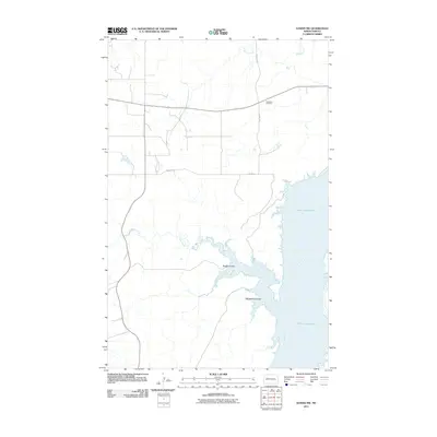 2011 Sanish NW2011 Print · USGSThe northern Missouri River breaks in North Dakota appear here just after the first decade of the millennium. Genealogists and local historians can locate Goodbird Cemetery and trace the rugged shoreline of Lake Sakakawea at Rough Coulee and Whitebody Coulee.
 - 2011 Map of Parshall SW, 2011 Print
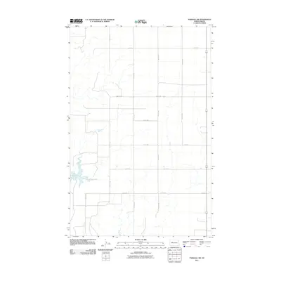 2011 Parshall SW2011 Print · USGSThe high plains of North Dakota meet the northern reaches of Lake Sakakawea in this early twenty-first-century survey. You can trace the precise section-line road grid, including 76th Ave NW and the transit corridor 37 1804, as it overlays the Missouri River landscape.
 - 2011 Map of Parshall NE, 2011 Print
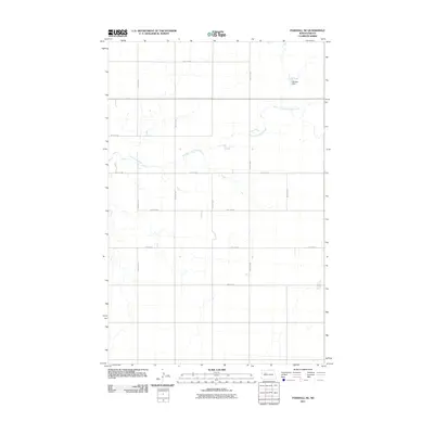 2011 Parshall NE2011 Print · USGSNorth Dakota's rural prairie is captured here in the early twenty-first century, showing the rigid grid of section roads and seasonal watercourses. Genealogists and researchers can trace the landscape around Paulson Dam and the winding path of East Fork Shell Creek.
 - 2011 Map of Shell Creek Bay, 2011 Print
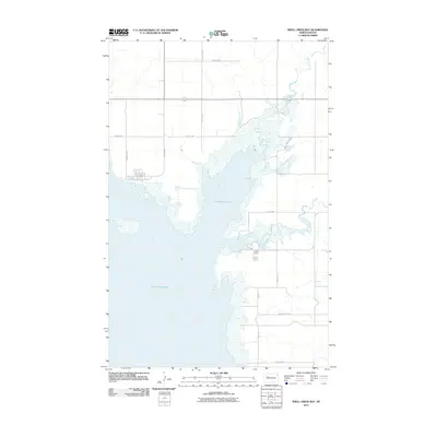 2011 Shell Creek Bay2011 Print · USGSThe North Dakota shoreline of Lake Sakakawea is captured here in the early twenty-first century as it winds through Mountrail County. Researchers can trace the modern road grid around Shell Creek and find access routes like McLean City Rd and 32nd St NW.
 - 2011 Map of New Town SE, 2011 Print
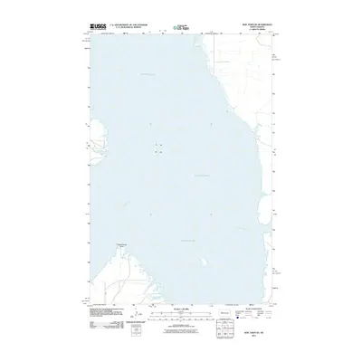 2011 New Town SE2011 Print · USGSThe Missouri River valley in central North Dakota appears here after its transformation into the massive Lake Sakakawea reservoir. Local historians and researchers can trace the shoreline around Independence Point and follow the route of BIA 13 along the southern banks.
 - 2011 Map of Sanish SE, 2011 Print
 2011 Sanish SE2011 Print · USGSThe Missouri River breaks into the sprawling reaches of Lake Sakakawea in this early twenty-first-century survey of Mountrail County. Trace the rugged shoreline around Horse Camp Coulee and the rural road networks like BIA 801 and 31st St NW.
 - 2011 Map of New Town, 2011 Print
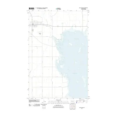 2011 New Town2011 Print · USGSNew Town was firmly established on the high ground above the Missouri River by the early twenty-first century. Researchers can trace the development of this planned community near the shores of Lake Sakakawea and locate the New Town Municipal Airport.
 - 2011 Map of Sanish, 2011 Print
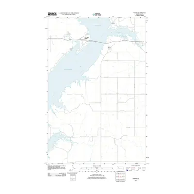 2011 Sanish2011 Print · USGSMountrail County's shoreline along the Missouri River is captured here in the early 21st century, showing the modern layout of the Fort Berthold Indian Reservation. Researchers can trace local landmarks like Riverview Cemetery, the settlement of Sanish, and the vital Four Bears Memorial Bridge.
 - 2011 Map of New Town SW, 2011 Print
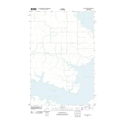 2011 New Town SW2011 Print · USGSMountrail County, North Dakota, is defined by the high water levels of the Missouri River reservoir in the early twenty-first century. Researchers can trace the complex shoreline of Lake Sakakawea and follow rural paths like 89th Ave NW and Little Shell Creek.
 - 2011 Map of Coulee, 2011 Print
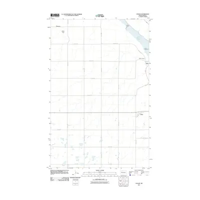 2011 Coulee2011 Print · USGSWard County's prairie and valley landscapes are captured here in the early twenty-first century, showing the intersection of agriculture and water management. Local historians can trace the rural layouts of Baden and Coulee or locate regional landmarks like Lower Des Lacs Lake and the Nelson-Landers Dam.
 - 2011 Map of Rat Lake, 2011 Print
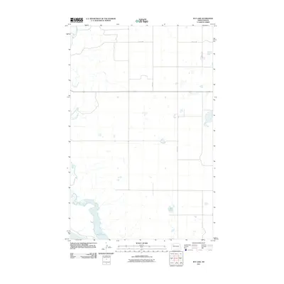 2011 Rat Lake2011 Print · USGSMcKenzie County's prairie landscape is documented here in the early twenty-first century as the Missouri River breaks meet the northern plains. Researchers can trace the drainage of the White Earth River into Lake Sakakawea and locate Rat Lake.
 - 2011 Map of Lostwood, 2011 Print
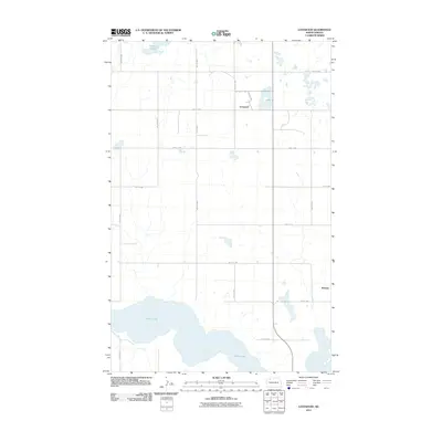 2011 Lostwood2011 Print · USGSMountrail County's high plains are defined by glacial wetlands and sparse rural settlements in this 2011 survey. Local researchers can trace the vicinity of Lostwood and Wassaic or map the extensive shoreline of White Lake and Kittelson Slough.
 - 2011 Map of Powers Lake, 2011 Print
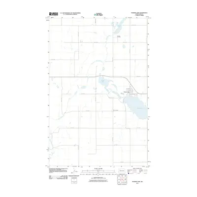 2011 Powers Lake2011 Print · USGSPowers Lake and the surrounding prairie were firmly established as a center of rural life and water management by the early twenty-first century. Genealogists and local historians can trace the town's street grid near Powers Lake and locate burials at Bethel Cemetery.
 - 2011 Map of Belden, 2011 Print
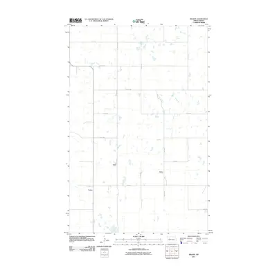 2011 Belden2011 Print · USGSMountrail County settlement and prairie topography are documented here in the early 2000s. Genealogists and local historians can locate Bethany Cemetery, trace the roads around Belden, and identify landmarks like Belden Field.
 - 2011 Map of Ross, 2011 Print
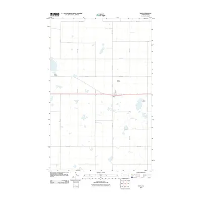 2011 Ross2011 Print · USGSRoss and the surrounding Mountrail County plains are captured here in the early twenty-first century as a landscape of grid roads and prairie potholes. Researchers can trace local heritage at Manitou Cemetery, Rosehill Cemetery, and the notable Moslem Cemetery near the town center.
 - 2011 Map of Palermo, 2011 Print
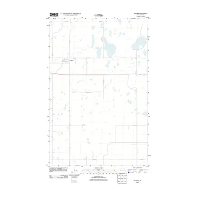 2011 Palermo2011 Print · USGSThe settlement of Palermo and its surrounding prairie pothole wetlands are documented in this late-career survey of Mountrail County. Researchers can trace the layout of town streets like Washington Ave and follow the route of Old Hwy 2 through the rural landscape.
 - 2011 Map of Rat Lake SE, 2011 Print
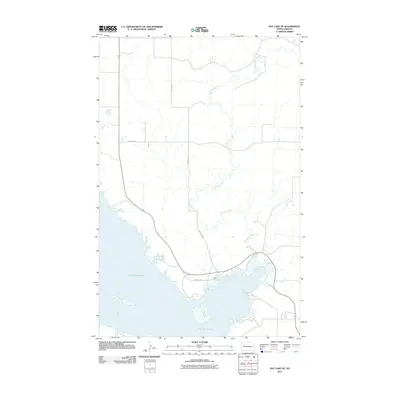 2011 Rat Lake SE2011 Print · USGSThe Missouri River valley in western North Dakota appears here just after the first decade of the millennium. Local researchers can trace the winding course of the Little Knife River as it joins the northern reaches of Lake Sakakawea.
 - 2011 Map of Charlson NE, 2011 Print
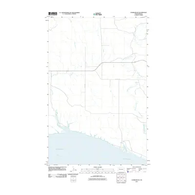 2011 Charlson NE2011 Print · USGSNorth Dakota's northern plains meet the Missouri River breaks in this early 21st-century landscape of Williams County. Genealogists and researchers can trace the shoreline of Lake Sakakawea and the courses of the White Earth River and Alkali Creek.
Showing maps 1-25 of 180
Top cities of Mountrail County
- New Town historical maps
- Stanley historical maps
- Plaza historical maps
- Palermo historical maps
- White Earth historical maps
- Manitou historical maps
See more
Frequently asked questions
- What are the different types of historical maps available for Mountrail County?
- What is the oldest map of Mountrail County?
- Where can I purchase historical maps of Mountrail County for my home or office?
- Where can I download high-res historical maps of Mountrail County?
- Are there historical topographic maps available for Mountrail County?
- Is there historical aerial imagery available for Mountrail County?
- Where are historical maps of Mountrail County sourced from?