2000s (21st Century) Maps of Ward County, North Dakota
Explore 295 historic maps of Ward County from the 2000s (21st Century). These maps offer a rare glimpse into what life looked like during the 2000s — showing old roads, neighborhoods, homes, and landmarks that have changed or disappeared over time.
Whether you're researching your family's past, planning a metal detecting trip, or studying how Ward County's landscape evolved across the 2000s, these high-resolution maps are a powerful tool for exploring the history of this region.
- Focus on a specific era: All maps on this page are from the 2000s, giving you a focused view of this time period.
- See what’s changed: Compare century-old streets, trails, and buildings to today's modern landscape using overlays and satellite layers.
- Research with precision: Use these maps for genealogy, historical research, land use analysis, or educational projects.
- View, download, or print: Maps are fully viewable online in high resolution, and can be downloaded or printed for your own records.
Start exploring Ward County's history through authentic maps from the 2000s. This is your window into the past.
Ward County, ND maps
(295)- 2011 Map of Benedict, 2011 Print
 2011 Benedict2011 Print · USGSThe town of Benedict and the surrounding McLean County prairie are shown here in the early 2000s as a well-ordered agricultural landscape. Researchers can trace the local road grid from Main St out to rural landmarks like McMann Lake and County Hwy 23.
 - 2011 Map of Lake Vernon, 2011 Print
 2011 Lake Vernon2011 Print · USGSWard County's prairie pothole region is captured here in the early twenty-first century, showing a landscape of scattered wetlands and section-line roads. Researchers can trace land boundaries and water features like Lake Vernon and Tangedahl Lake across the rural grid.
 - 2011 Map of Max, 2011 Print
 2011 Max2011 Print · USGSMax and its surrounding McLean County prairie are captured in detail during the early 2010s. Researchers can trace local lineage at Immaculate Conception Cemetery and Max Cemetery or explore the town's street plan including Andrew St and 3rd Ave.
 - 2011 Map of Makoti, 2011 Print
 2011 Makoti2011 Print · USGSThe rural prairie landscape around Ward County is captured here in the early twenty-first century, centered on the small settlement of Makoti. Researchers can trace the section-line grid of the High Plains and locate the Makoti Municipal Airport and the local streets of 3rd Ave and 4th Ave.
 - 2011 Map of Douglas West, 2011 Print
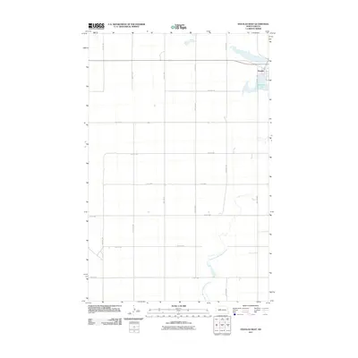 2011 Douglas West2011 Print · USGSThe rural landscape around Douglas is captured here in the early twenty-first century, showing the town's small-scale grid and the surrounding prairie. Genealogists and local historians can trace family properties along the extensive road network or near Douglas Lake and the Middle Branch Douglas Creek.
 - 2011 Map of Benedict SW, 2011 Print
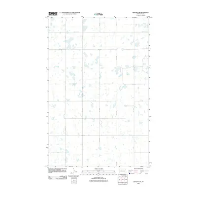 2011 Benedict SW2011 Print · USGSWard County's prairie pothole region is shown here in the early twenty-first century, defined by its unique glacial hydrology. Genealogists and land researchers can trace the section-line road network through routes like 359th Ave SE and 30th St NW.
 - 2011 Map of Robinson Coulee, 2011 Print
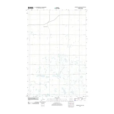 2011 Robinson Coulee2011 Print · USGSWard County, North Dakota, is documented here in the early twenty-first century as a landscape of vast prairie potholes and rural section lines. Researchers can trace the terrain around Robinson Coulee and identify specific local road networks like 303rd Ave SE and 167th St SE.
 - 2011 Map of Roseglen, 2011 Print
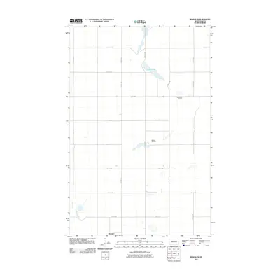 2011 Roseglen2011 Print · USGSRoseglen and the surrounding prairie are captured here in the early twenty-first century, showing the enduring grid of the North Dakota township system. Researchers can locate the Hiddenwood Cemetery or trace the drainage patterns around Hiddenwood Lake and Round Top Hill.
 - 2011 Map of Douglas East, 2011 Print
 2011 Douglas East2011 Print · USGSWard County's agricultural high plains are captured here in the early twenty-first century, showing the enduring structure of the Great Plains grid system. Genealogists and local historians can trace property boundaries and access routes near Douglas Lake and the seasonal waters of Shallow Alkali Lake.
 - 2011 Map of Benedict NW, 2011 Print
 2011 Benedict NW2011 Print · USGSThe North Dakota prairie in the early twenty-first century is defined by a vast agricultural grid and seasonal wetlands. Trace the path of Oak Creek and the network of section roads like 331 St Ave SE and 55th St SE.
 - 2011 Map of Ryder, 2011 Print
 2011 Ryder2011 Print · USGSThe town of Ryder stands as a focal point in the North Dakota prairie during the early 2000s, surrounded by a characteristic network of section-line roads. Researchers can locate the Ryder Cemetery and Ryder Municipal Airfield or trace local street history along S Main St.
 - 2011 Map of Rush Lake, 2011 Print
 2011 Rush Lake2011 Print · USGSWard County's prairie pothole region is captured here in the early twenty-first century, showing a landscape of scattered wetlands and section-line roads. Researchers can trace the boundaries of Rush Lake and Nelson and Carlson Lakes across a grid of rural routes like 233rd Ave SE.
 - 2011 Map of Coulee, 2011 Print
 2011 Coulee2011 Print · USGSWard County's prairie and valley landscapes are captured here in the early twenty-first century, showing the intersection of agriculture and water management. Local historians can trace the rural layouts of Baden and Coulee or locate regional landmarks like Lower Des Lacs Lake and the Nelson-Landers Dam.
 - 2011 Map of Kenmare, 2011 Print
 2011 Kenmare2011 Print · USGSKenmare sits at the edge of the Des Lacs Lake system during the early twenty-first century, surrounded by the high prairie of Ward County. Genealogists and local historians can locate family sites near Rose Hill Cemetery or trace the geography of Ankenbauer Coulee and Middle Des Lacs Lake.
 - 2011 Map of Niobe, 2011 Print
 2011 Niobe2011 Print · USGSNiobe and the surrounding Ward County plains are shown here in the early twenty-first century, documented just before the modern era. Genealogists and local researchers can trace family sites at Niobe Cemetery and Bethane Cemetery or locate holdings near Upper Des Lacs Lake.
 - 2011 Map of Mosquito Butte, 2011 Print
 2011 Mosquito Butte2011 Print · USGSThe rural prairie of Ward County is captured here in the early twenty-first century, showing a landscape defined by glacial potholes and section-line roads. Researchers can trace the drainage of Christensen Slough and locate the prominent rise of Mosquito Butte.
 - 2011 Map of Bowbells, 2011 Print
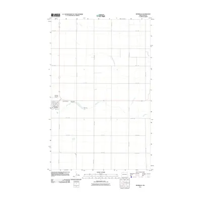 2011 Bowbells2011 Print · USGSBowbells stands at the center of this early twenty-first-century Burke County landscape, where the town's grid meets the agricultural prairie. Genealogists and local historians can locate Bowbells Cemetery, Saint Joseph Cemetery, and the CCC Dam along Stony Creek.
 - 2011 Map of Bowbells SE, 2011 Print
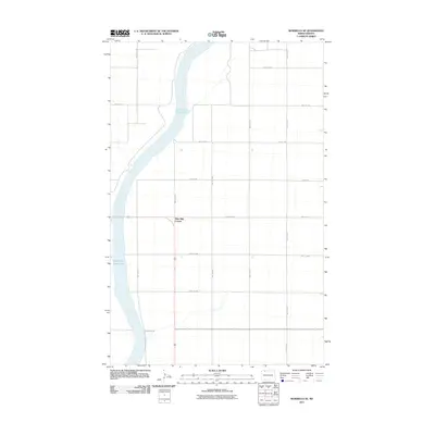 2011 Bowbells SE2011 Print · USGSThe northern prairie and the deep valley of Upper Des Lacs Lake are shown in detail during the early twenty-first century. Genealogists and local historians can trace the road networks around Nine Mile Corner and 492nd St NW.
 - 2011 Map of Sawyer, 2011 Print
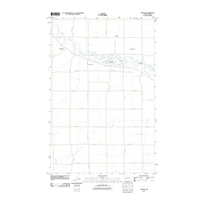 2011 Sawyer2011 Print · USGSThe Ward County township of Sawyer is captured here in the early 2000s, centered on the winding loops of the Souris River. Genealogists and local historians can trace the rural landscape near Sawyer Cemetery, the river crossing at Schilling Bridge, and the heights of Black Butte.
 - 2011 Map of Tolley SE, 2011 Print
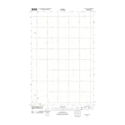 2011 Tolley SE2011 Print · USGSThe rural prairie of Ward County is captured here in the early twenty-first century, showing the rigid section-line roads and drainage basins of the high plains. Researchers can locate Greenbush Cemetery and trace the path of the Des Lacs River and Lawson Coulee.
 - 2011 Map of Aurelia, 2011 Print
 2011 Aurelia2011 Print · USGSNorth Dakota's rural Ward County is captured here in the early twenty-first century, showing the settlement of Aurelia amidst a dense network of prairie potholes. Researchers can locate family sites near the Moravian Cemetery or trace section-line roads like 142nd Ave NW.
 - 2011 Map of Sawyer NE, 2011 Print
 2011 Sawyer NE2011 Print · USGSWard County's agricultural heartland is documented here in the early twenty-first century, showing the precise grid of the northern plains. Researchers can trace land tracts along 5th Ave NE, 111th St SE, and 93rd Ave SE.
 - 2011 Map of Rice Lake NW, 2011 Print
 2011 Rice Lake NW2011 Print · USGSWard County's prairie landscape is captured in the early twenty-first century, showing a high density of glacial potholes and a systematic road grid. Researchers can locate the Flying S Ranch Landing Strip and trace rural routes like 93rd Ave SW and 11th Ave SW.
 - 2011 Map of Sawyer SW, 2011 Print
 2011 Sawyer SW2011 Print · USGSWard County's agricultural heartland is documented here in the early twenty-first century, showing the intersection of local prairie life and geography. Researchers can find Center Cemetery and trace the paths of Oak Creek and Burkley Coulee through the grid.
 - 2011 Map of Norma, 2011 Print
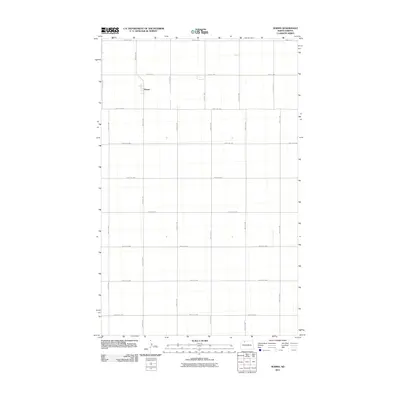 2011 Norma2011 Print · USGSNorth Dakota's rural Renville County is captured in the early twenty-first century, showing the organized agricultural grid surrounding Norma. Local historians and genealogists can trace property boundaries and road networks along 91st St Nw and 58th Ave Nw.
Showing maps 1-25 of 295
Top cities of Ward County
- Minot historical maps
- Kenmare historical maps
- Burlington historical maps
- Surrey historical maps
- Berthold historical maps
- Sawyer historical maps
See more
Frequently asked questions
- What are the different types of historical maps available for Ward County?
- What is the oldest map of Ward County?
- Where can I purchase historical maps of Ward County for my home or office?
- Where can I download high-res historical maps of Ward County?
- Are there historical topographic maps available for Ward County?
- Is there historical aerial imagery available for Ward County?
- Where are historical maps of Ward County sourced from?