Old Maps of Ward County, North Dakota for Hiking & Exploration
Hike through history with 396 historic maps of Ward County. Explore old trails, ghost towns, and forgotten backroads — perfect for outdoor adventurers and local explorers.
- Rediscover forgotten places: Map out old mining camps, roads, and footpaths that no longer exist on modern maps.
- Layer with modern tools: Combine with LiDAR or satellite views to plan hikes through historical terrain.
- Made for exploration: Popular among hikers, overlanders, and local history lovers.
Use these maps to find adventure and explore the hidden past of Ward County.
Ward County, ND maps
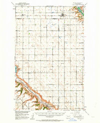
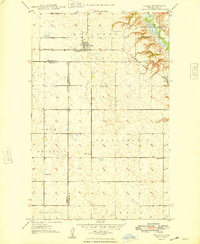
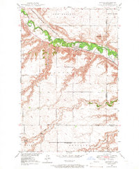
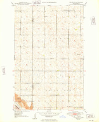
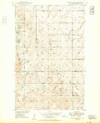
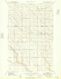
(396)- 1928 Map of Minot
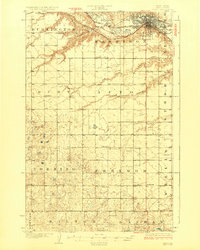 1928 Minot1928 Print · USGSThe growing rail hub of Minot emerges along the Souris River valley in the mid-1920s. Genealogists and historians can trace numerous rural schools across townships like Burt and Nedrose, alongside early rail sidings at Drady and Stringtown.3 unique versions available
 - 1929 Map of Sawyer
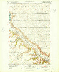
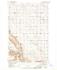
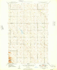
 1929 Sawyer1929 Print · USGSWard County's prairie and river valleys are captured here in the late 1920s as the rail-and-river economy flourished. Genealogists can trace rural school districts like School No 2 and School No 3 or locate early river crossings such as the Saugstad Bridge.2 unique versions available
 - 1929 Map of Benedict
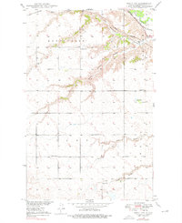
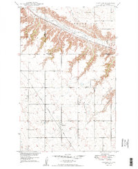
 1929 Benedict1929 Print · USGSThe North Dakota prairie near the McLean and Ward county line is captured here in the late twenties, centered on the rail-stop of Benedict. Researchers can locate numerous early schoolhouses and trace the path of the Minneapolis St Paul and Sault Ste Marie through Poplar and Greeley.3 unique versions available
 - 1929 Map of Kongsberg
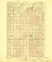
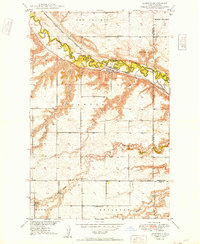
 1929 Kongsberg1929 Print · USGSThe North Dakota prairie near the McHenry and McLean county line is shown here in the late twenties as a network of rail-bound villages and rural schools. You can trace the Soo Line railroad to Kongsberg or locate family-named landmarks like Woodhill Sch and Dogden Butte.2 unique versions available
 - 1947 Map of Tolley, 1963 Print
 1947 Tolley1963 Print · USGSThe North Dakota prairie near the Mouse River comes to life in this post-war survey of Renville and Ward Counties. Genealogists and local historians can trace rural school locations and family burial sites like Greenbush Cem or St Anthony Cem, while tracking the path of the Great Northern railroad.
 - 1947 Map of Bowbells, 1966 Print
 1947 Bowbells1966 Print · USGSBowbells sits at the busy junction of two major rail lines just after the war, anchoring a landscape of scattered prairie townships. Genealogists and local historians can locate Bowbells Cem, early country schools like School No 4, and the CCC Dam along Stony Creek.
 - 1948 Map of Kenmare
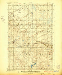
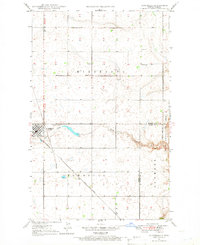
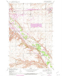
 1948 Kenmare1948 Print · USGSKenmare and its surrounding townships are shown in the late 1940s, situated along the river valley and its expansive bird refuge. Genealogists and local historians can trace family-named sites like Rose Hill Cem and Denmark Sch No 1.2 unique versions available
 - 1948 Map of Norma
 1948 Norma1948 Print · USGSIn the late 1940s, this portion of the North Dakota plains was defined by its railroad connectivity and a network of rural school districts. Genealogists can trace family footprints near the Town Hall or locate specific holdings by School No 1 and Norma.2 unique versions available
 - 1948 Map of Tolley
 1948 Tolley1948 Print · USGSRenville and Ward counties are captured here in the late 1940s as the railroad and the Souris River defined the local economy. Genealogists and historians can trace family roots through the placement of Trinity Cem, the village of Tolley, and several rural schoolhouses like School No. 4.
 - 1948 Map of Donnybrook
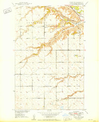
 1948 Donnybrook1948 Print · USGSDonnybrook was a bustling rail hub in the late 1940s where two major lines intersected along the Des Lacs River. Genealogists can locate several rural landmarks including Odd Fellows Cem, Church Hill, and a network of numbered district schools.
 - 1948 Map of Burlington
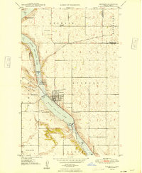
 1948 Burlington1948 Print · USGSThe river valleys and rail junctions around Burlington are captured here in the late 1940s as the Missouri River Basin development began. Local historians can trace family roots through landmarks like Graham Sch, School No 4, and the Evangelical Ch.2 unique versions available
 - 1948 Map of Velva, 1966 Print
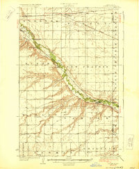
 1948 Velva1966 Print · USGSNorth Dakota's prairie landscape comes alive in this post-war survey of McHenry and Ward Counties, where the Souris River dictates the path of early rail and settlement. Genealogists and historians can trace numerous rural landmarks, including Shenkjer Cem, Howe School, and the community of Velva.
 - 1948 Map of Sawyer, 1966 Print
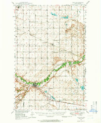
 1948 Sawyer1966 Print · USGSNorth Dakota's prairie landscape is defined by the winding Souris River and the rail-driven growth of Sawyer just after the war. Genealogists and local historians can locate the Mennonite Ch, Sawyer Cem, and the old Schilling Bridge.
 - 1948 Map of Burlington, 1968 Print
 1948 Burlington1968 Print · USGSWard County's river valleys and prairie townships are captured here at the close of the 1940s as the regional irrigation and rail networks matured. Genealogists can locate specific rural landmarks including Graham Sch, North Prairie Ch, and the many numbered schools of Eureka and Tatman.
 - 1948 Map of Minot NW, 1976 Print
 1948 Minot NW1976 Print · USGSNorth Dakota's prairie landscape near Minot is documented here in the late 1940s, showing a transition from traditional rail-based transport to modern rural development. Researchers can trace historic rail lines like the Great Northern and find rural sites like Ralston and School No 2.2 unique versions available
 - 1948 Map of Surrey, 1981 Print
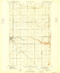
 1948 Surrey1981 Print · USGSWard County's prairie landscape is captured here in the mid-twentieth century as the rail lines and river valleys defined local life. Researchers can locate vanished landmarks like Bell Sch No 3, the Town Hall in Surrey, and trace the path of the Soo Line.
 - 1949 Map of Tolley SE
 1949 Tolley SE1949 Print · USGSNorth Dakota's rural heartland is captured here in the late 1940s, showing a landscape of spread-out farmsteads and township life. Genealogists can trace family roots at Greenbush Cem or locate the old White Ash Sch along the Des Lacs River.
 - 1949 Map of Burlington NW
 1949 Burlington NW1949 Print · USGSThe Ward and Renville county line in the late 1940s is a landscape of scattered rural schoolhouses and prairie pothole terrain. Genealogists and local historians can trace the foundations of the community through several district schools, including Stamen School No 2 and School No 4.3 unique versions available
 - 1949 Map of Hartland
 1949 Hartland1949 Print · USGSWard and Renville Counties are captured here in the late forties, showing a prairie landscape defined by rail lines and rural schools. You can trace the Great Northern tracks through Hartland and locate local landmarks like Viola School No 1 and St Anthony Cem.2 unique versions available
 - 1949 Map of Sawyer
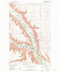
 1949 Sawyer1949 Print · USGSNear the mid-century mark, the Souris River valley in Ward County supported a network of rural schools and townships. Genealogists can trace the locations of Roosevelt Sch No 1 and Lignite Sch No 3 or the Mennonite Ch near Sawyer.
 - 1949 Map of Mosquito Butte
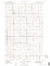
 1949 Mosquito Butte1949 Print · USGSThe North Dakota prairie near the Burke, Ward, and Mountrail county lines is captured here in the late 1940s. Genealogists and local historians can locate early landmarks like Buck Sch and Bethlehem Ch or trace the drainage of Christensen Slough.
 - 1949 Map of Bowbells
 1949 Bowbells1949 Print · USGSBowbells and its surrounding townships thrive as a vital rail hub in the late 1940s. Genealogists can locate family landmarks like St Joseph Cem, School No 2, and the local Golf Course along the banks of Stony Creek.
 - 1949 Map of Minot NW
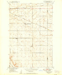
 1949 Minot NW1949 Print · USGSThe high plains of Ward County in the late 1940s are defined here by deep coulees and critical rail junctions along the Souris River. Local historians can trace early prairie education at School No 1 and School No 2 or follow the old tracks through Ralston and Drady.
 - 1949 Map of Sawyer NE
 1949 Sawyer NE1949 Print · USGSThe high North Dakota prairie in the late 1940s was a land of expanding railroads and rural school districts. Genealogists and historians can trace the early layout of farming communities via Grassland School No 1, Grassland School No 2, and the Great Northern rail line.
 - 1949 Map of Deering NW
 1949 Deering NW1949 Print · USGSThe Ward and Renville County line in the late 1940s is captured here, showing a rural landscape defined by prairie watercourses and the Great Northern rail. Genealogists can locate family landmarks such as Bethany Ch and local schools including School No 2.
Showing maps 1-25 of 396
Top cities of Ward County
- Minot historical maps
- Kenmare historical maps
- Burlington historical maps
- Surrey historical maps
- Berthold historical maps
- Sawyer historical maps
See more
Frequently asked questions
- What are the different types of historical maps available for Ward County?
- What is the oldest map of Ward County?
- Where can I purchase historical maps of Ward County for my home or office?
- Where can I download high-res historical maps of Ward County?
- Are there historical topographic maps available for Ward County?
- Is there historical aerial imagery available for Ward County?
- Where are historical maps of Ward County sourced from?