2020s Maps of Paulding County, Ohio
Explore 19 historic maps of Paulding County from the 2020s. These maps offer a rare glimpse into what life looked like during the 2020s — showing old roads, neighborhoods, homes, and landmarks that have changed or disappeared over time.
Whether you're researching your family's past, planning a metal detecting trip, or studying how Paulding County's landscape evolved across the 2020s, these high-resolution maps are a powerful tool for exploring the history of this region.
- Focus on a specific era: All maps on this page are from the 2020s, giving you a focused view of this time period.
- See what’s changed: Compare century-old streets, trails, and buildings to today's modern landscape using overlays and satellite layers.
- Research with precision: Use these maps for genealogy, historical research, land use analysis, or educational projects.
- View, download, or print: Maps are fully viewable online in high resolution, and can be downloaded or printed for your own records.
Start exploring Paulding County's history through authentic maps from the 2020s. This is your window into the past.
Paulding County, OH maps
(19)- 2022 Map of Dixon, 2022 Print
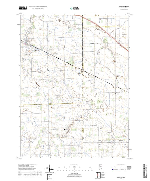 2022 Dixon2022 Print · USGSThe Indiana and Ohio borderlands come alive in this detailed record of rural life and small-town organization. Genealogists can trace family names through numerous sites like Clark Chapel Cem, Bethel Cem, and the village of Monroeville.
 - 2022 Map of Woodburn North, 2022 Print
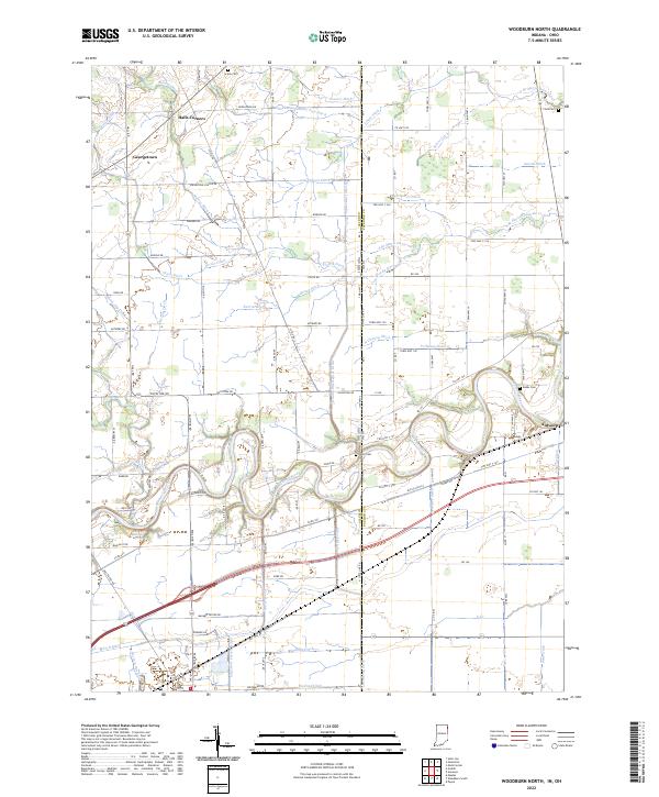 2022 Woodburn North2022 Print · USGSThe Indiana-Ohio borderlands come into focus in this contemporary survey of the Maumee River corridor. Genealogists and researchers can trace the vicinity of Antwerp and Halls Corners, locating old family burial sites like Scipio Cem and Banks Cem.
 - 2022 Map of Woodburn South, 2022 Print
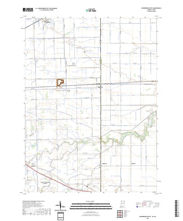 2022 Woodburn South2022 Print · USGSThe Indiana-Ohio borderlands at the start of the 2020s are defined by a meticulous grid of farm roads and drainage ditches. Local historians can trace family-named sites like Sugar Ridge Cem and small rural hubs including Four Presidents Corners, Townley, and Edgerton.
 - 2023 Map of Mark Center, 2023 Print
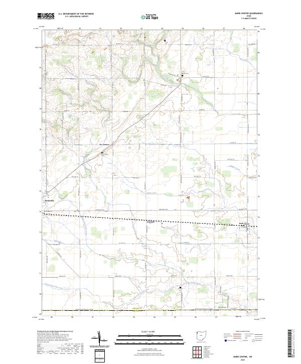 2023 Mark Center2023 Print · USGSDefiance County’s rural townships are documented here in the early 2020s, showing a landscape of small agricultural hamlets and precisely gridded roads. Researchers can locate family roots at Six-Corners Cem or trace the winding course of Platter Creek and Lost Creek across the countryside.
 - 2023 Map of Latty, 2023 Print
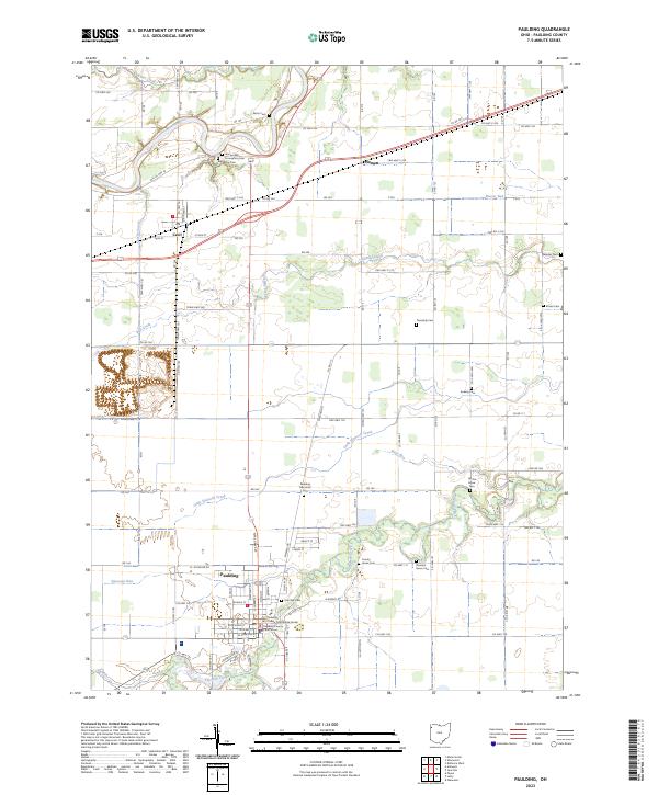
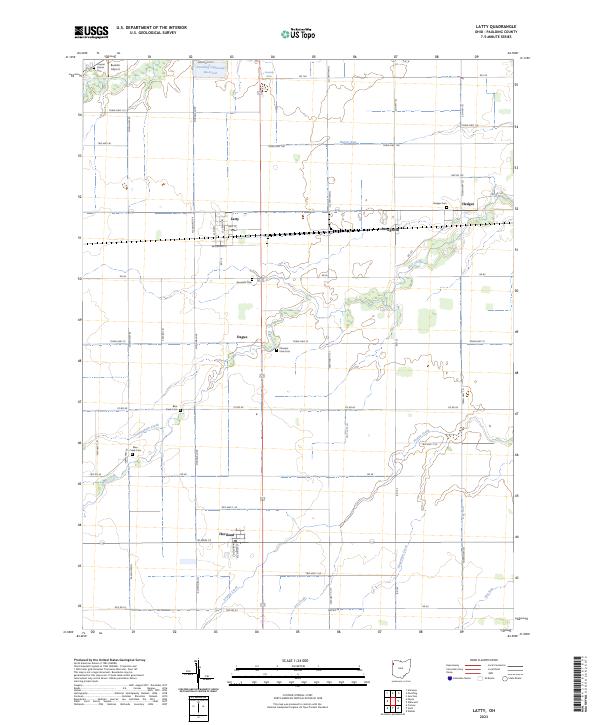 2023 Latty2023 Print · USGSPaulding County is captured here in the early twenty-first century, showing a landscape of small villages and established family farmsteads. Researchers can locate early burial sites like Hedges Cem and trace the paths of Horse Run or Prairie Creek.
 - 2023 Map of Oakwood, 2023 Print
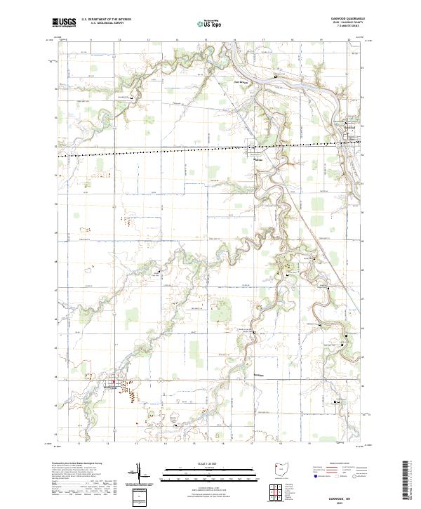 2023 Oakwood2023 Print · USGSPaulding County’s agricultural heartland is documented here in the early twenty-first century, centered on the Auglaize River and its winding tributaries. Researchers can trace local heritage through a dense network of burial sites like Kingery Cem, Mellinger Cem, and the historic Fort Brown site.
 - 2023 Map of Continental, 2023 Print
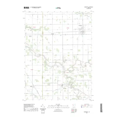 2023 Continental2023 Print · USGSNorthwestern Ohio's river systems converge in this Putnam County landscape during the early 2020s. Researchers can trace family history through a high density of rural burial grounds, including Fairview Cem, Sigler Cem, and Cascade Cem.
 - 2023 Map of Antwerp, 2023 Print
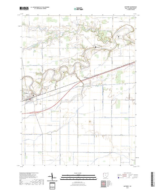 2023 Antwerp2023 Print · USGSPaulding County agricultural life and riverfront settlement are mapped here in the early twenty-first century. Genealogists can trace several family-named burial sites including Riverside Cem, Gordon Cem, and Forder Cem along the winding Maumee River.
 - 2023 Map of Ayersville, 2023 Print
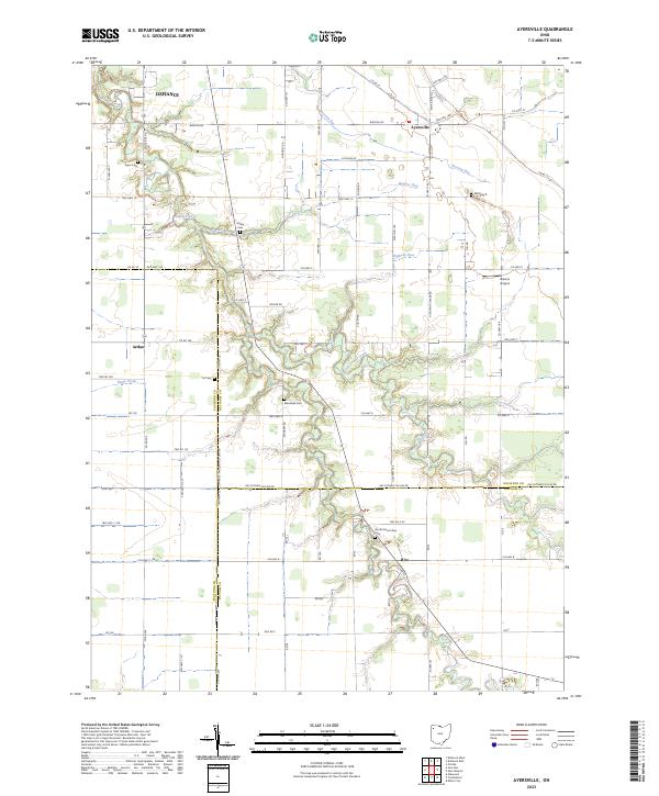 2023 Ayersville2023 Print · USGSNorthwest Ohio's rural landscape is captured here in the early twenty-first century, showing the intersection of three counties and the drainage of Powell Creek. Genealogists can locate family landmarks like North Mount Zion Cem, Myers Cem, and the small settlement of Ayersville.
 - 2023 Map of Junction, 2023 Print
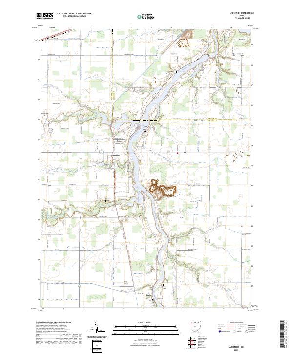 2023 Junction2023 Print · USGSNorthwest Ohio's river country is charted here in the early twenty-first century, showing the rural landscape along the Auglaize River. Genealogists can trace family connections through numerous sites like Dotterer Cem, Saint Marys Cem, and the village of Junction.
 - 2023 Map of Defiance West, 2023 Print
 2023 Defiance West2023 Print · USGSDefiance and the settlement of Brunersburg are shown here at the strategic meeting of three rivers in the early twenty-first century. Researchers can trace local lineage and landmarks through Marysdale Immaculate Conception Cem, Saint Stephens Cem, and the path of Banner School Rd.
 - 2023 Map of Paulding, 2023 Print
 2023 Paulding2023 Print · USGSPaulding and the surrounding rural townships are shown here in 2023, centered on the historic Paulding County Courthouse. Genealogists and local historians can trace family plots across numerous sites like Pleasant Grove Cem, Ankney Cem, and Renollet Cem.
 - 2023 Map of Payne, 2023 Print
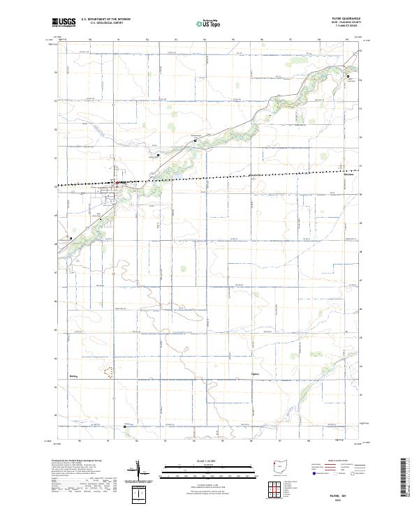 2023 Payne2023 Print · USGSNorthwestern Ohio's agricultural landscape is captured here in the contemporary era, centered on the village of Payne. Genealogists and historians can trace family ties at Saint Johns Cem or Wiltsie Cem and locate rural hamlets like Tipton.
 - 2023 Map of Ottoville, 2023 Print
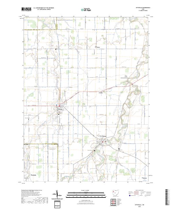 2023 Ottoville2023 Print · USGSOttoville and Fort Jennings are captured here in the early twenty-first century as the North Country Trail winds through this river-laced landscape. Genealogists can trace family burial sites at Saint Marys Cem and Raabe Cem or locate the rural crossroads of Muntanna.
 - 2023 Map of Sherwood, 2023 Print
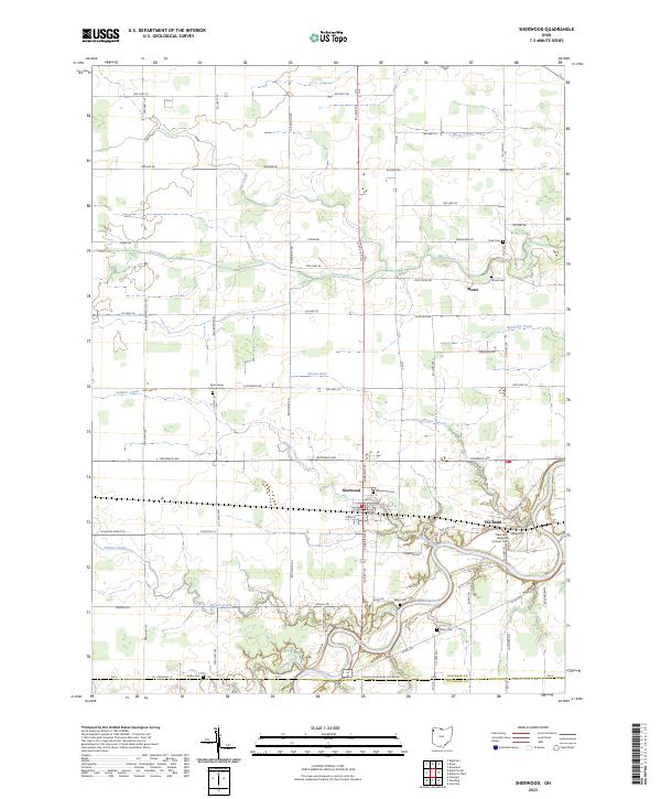 2023 Sherwood2023 Print · USGSThe village of Sherwood and the winding oxbows of the Maumee River define this corner of Northwest Ohio. Genealogists and local researchers can trace early homesteads and community hubs through landmarks like The Bend, Moats, and Saint Johns Lutheran Cem.
 - 2023 Map of Wetsel, 2023 Print
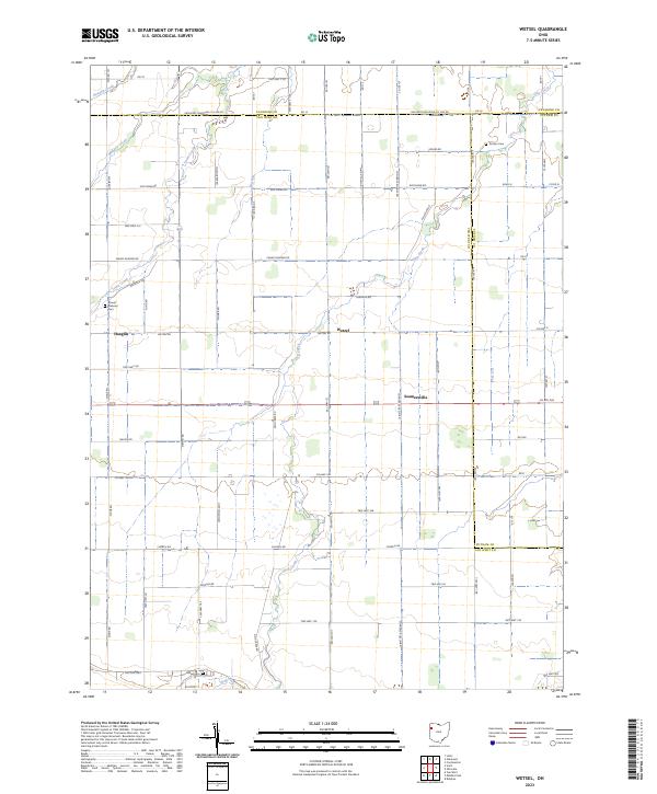 2023 Wetsel2023 Print · USGSNorthwest Ohio's agricultural heartland is documented here in the early twenty-first century, showing the small communities of Wetzel and Seamersville. Local historians can trace family roots at Mount Pleasant Cem or Dotson Cem and follow the paths of Town Creek and Dog Creek.
 - 2023 Map of Convoy, 2023 Print
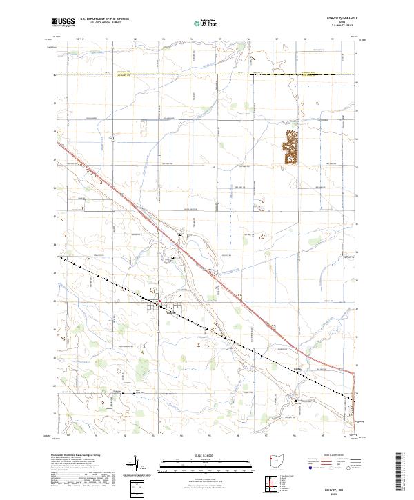 2023 Convoy2023 Print · USGSIn the modern era, the village of Convoy remains a vital hub within the agricultural landscape of Van Wert County. Researchers can trace historical footprints through several local landmarks, including Sugar Ridge Cem, Richey, and the path of the Lincoln Hwy.
 - 2023 Map of Hicksville, 2023 Print
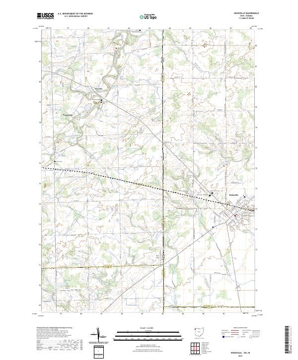 2023 Hicksville2023 Print · USGSThe Indiana-Ohio state line and the agricultural fields of Defiance County define this landscape in the 2020s. Researchers can locate several burial sites including Wartenbe Cemetery and Alton Cem, or trace the managed waters of the Saint Joseph River and Mill Creek.
 - 2023 Map of Scott, 2023 Print
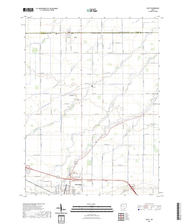 2023 Scott2023 Print · USGSNorthwest Ohio's agricultural heartland is documented here at the Paulding and Van Wert county line. Researchers can trace family history through sites like Scott Cem and Dunkard Cem or follow the paths of Pottawatomie Creek and Stripe Creek.
End of results
Showing maps 1-19 of 19
Top cities of Paulding County
- Paulding historical maps
- Antwerp historical maps
- Payne historical maps
- Oakwood historical maps
- Grover Hill historical maps
- Melrose historical maps
See more
Frequently asked questions
- What are the different types of historical maps available for Paulding County?
- What is the oldest map of Paulding County?
- Where can I purchase historical maps of Paulding County for my home or office?
- Where can I download high-res historical maps of Paulding County?
- Are there historical topographic maps available for Paulding County?
- Is there historical aerial imagery available for Paulding County?
- Where are historical maps of Paulding County sourced from?