2000s (21st Century) Maps of Enid, Oklahoma
Explore 20 historic maps of Enid from the 2000s (21st Century). These maps offer a rare glimpse into what life looked like during the 2000s — showing old roads, neighborhoods, homes, and landmarks that have changed or disappeared over time.
Whether you're researching your family's past, planning a metal detecting trip, or studying how Enid's landscape evolved across the 2000s, these high-resolution maps are a powerful tool for exploring the history of this region.
- Focus on a specific era: All maps on this page are from the 2000s, giving you a focused view of this time period.
- See what’s changed: Compare century-old streets, trails, and buildings to today's modern landscape using overlays and satellite layers.
- Research with precision: Use these maps for genealogy, historical research, land use analysis, or educational projects.
- View, download, or print: Maps are fully viewable online in high resolution, and can be downloaded or printed for your own records.
Start exploring Enid's history through authentic maps from the 2000s. This is your window into the past.
Enid, OK maps
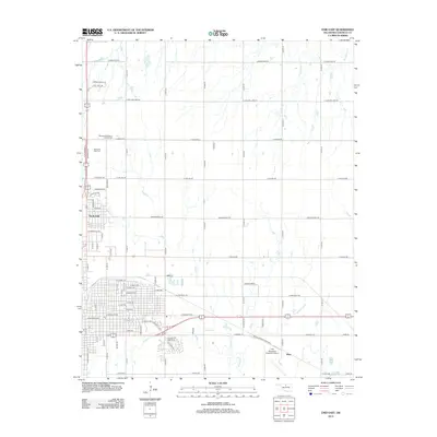
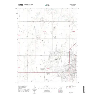
(20)- 2009 Map of Enid SE, 2009 Print
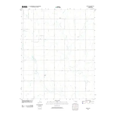 2009 Enid SE2009 Print · USGSCovers Enid, including Garfield County, United States, and other nearby areas
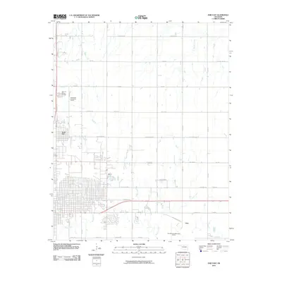
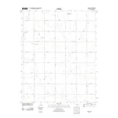
 - 2009 Map of Enid West, 2009 Print
 2009 Enid West2009 Print · USGSCovers Enid, including Ituna, Jonah, and other nearby areas
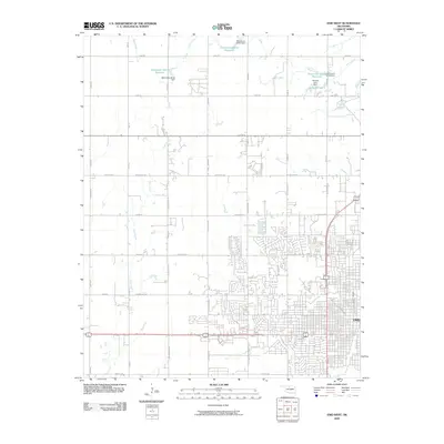
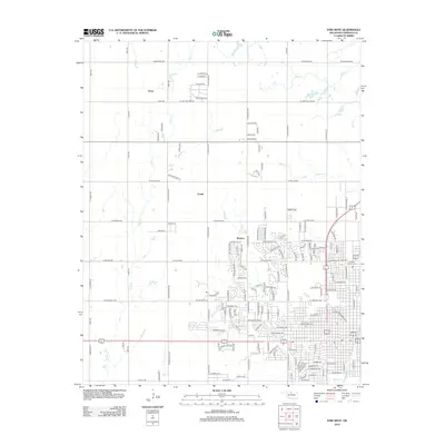
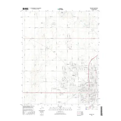
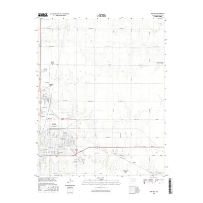
 - 2010 Map of Enid East, 2010 Print
 2010 Enid East2010 Print · USGSCovers Enid, including North Enid, Breckenridge, and other nearby areas
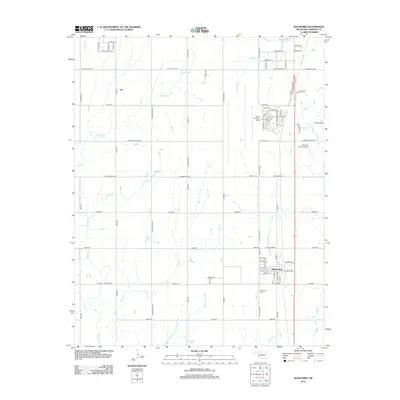
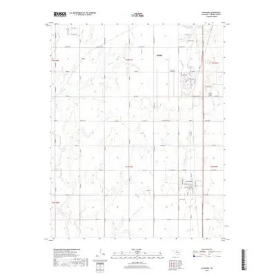
 - 2010 Map of Waukomis, 2010 Print
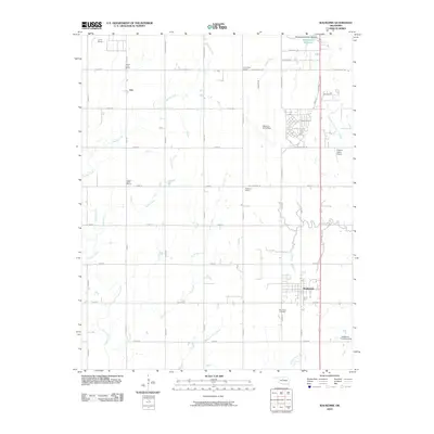 2010 Waukomis2010 Print · USGSCovers Enid, including Waukomis, Imo, and other nearby areas
 - 2012 Map of Enid East, 2012 Print
 2012 Enid East2012 Print · USGSCovers Enid, including North Enid, Breckenridge, and other nearby areas
 - 2012 Map of Waukomis, 2012 Print
 2012 Waukomis2012 Print · USGSCovers Enid, including Waukomis, Imo, and other nearby areas
 - 2012 Map of Enid West, 2012 Print
 2012 Enid West2012 Print · USGSCovers Enid, including Ituna, Jonah, and other nearby areas
 - 2012 Map of Enid SE, 2012 Print
 2012 Enid SE2012 Print · USGSCovers Enid, including Garfield County, United States, and other nearby areas
 - 2016 Map of Waukomis, 2016 Print
 2016 Waukomis2016 Print · USGSCovers Enid, including Waukomis, Imo, and other nearby areas
 - 2016 Map of Enid SE, 2016 Print
 2016 Enid SE2016 Print · USGSCovers Enid, including Garfield County, United States, and other nearby areas
 - 2016 Map of Enid West, 2016 Print
 2016 Enid West2016 Print · USGSCovers Enid, including Ituna, Jonah, and other nearby areas
 - 2016 Map of Enid East, 2016 Print
 2016 Enid East2016 Print · USGSCovers Enid, including North Enid, Breckenridge, and other nearby areas
 - 2018 Map of Enid West, 2018 Print
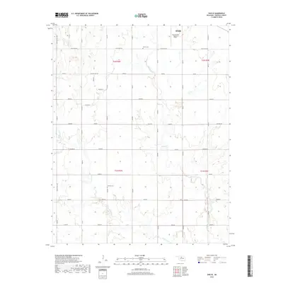
 2018 Enid West2018 Print · USGSCovers Enid, including Ituna, Jonah, and other nearby areas
 - 2018 Map of Enid East, 2018 Print
 2018 Enid East2018 Print · USGSCovers Enid, including North Enid, Breckenridge, and other nearby areas
 - 2018 Map of Enid SE, 2018 Print
 2018 Enid SE2018 Print · USGSCovers Enid, including Garfield County, United States, and other nearby areas
 - 2018 Map of Waukomis, 2018 Print
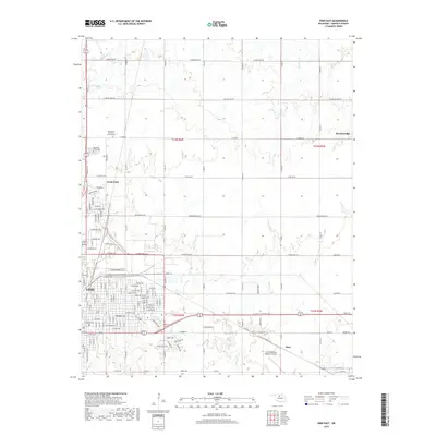
 2018 Waukomis2018 Print · USGSCovers Enid, including Waukomis, Imo, and other nearby areas
 - 2022 Map of Waukomis, 2022 Print
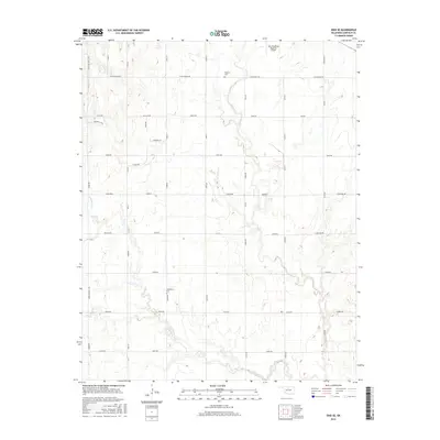
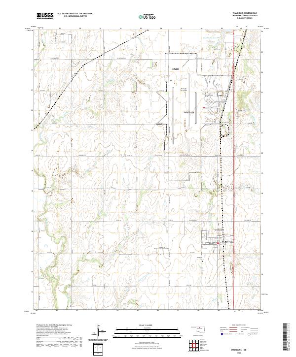 2022 Waukomis2022 Print · USGSGarfield County's agricultural and military character is on display in this contemporary survey of the area south of Enid. Researchers can trace the layout of Waukomis, locate the Waukomis Cem, and follow the unusual paths of Hell and Gone Creek and Turkey Creek.
 - 2022 Map of Enid SE, 2022 Print
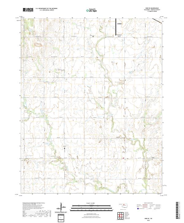 2022 Enid SE2022 Print · USGSSoutheast of Enid in the early twenty-first century, this landscape shows the meeting point of city transit and rural Garfield County. Genealogists and researchers can locate Bethany Cem and Hackberry Cem or trace the creeks Skeleton Cr and Hackberry Cr.
 - 2022 Map of Enid East, 2022 Print
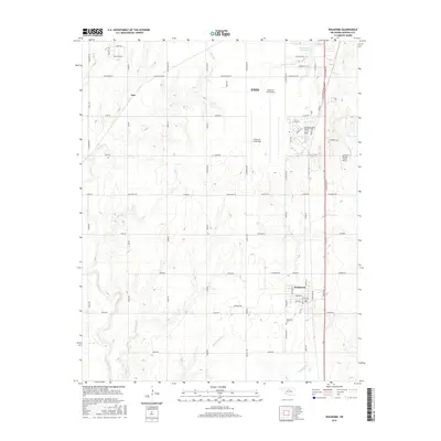
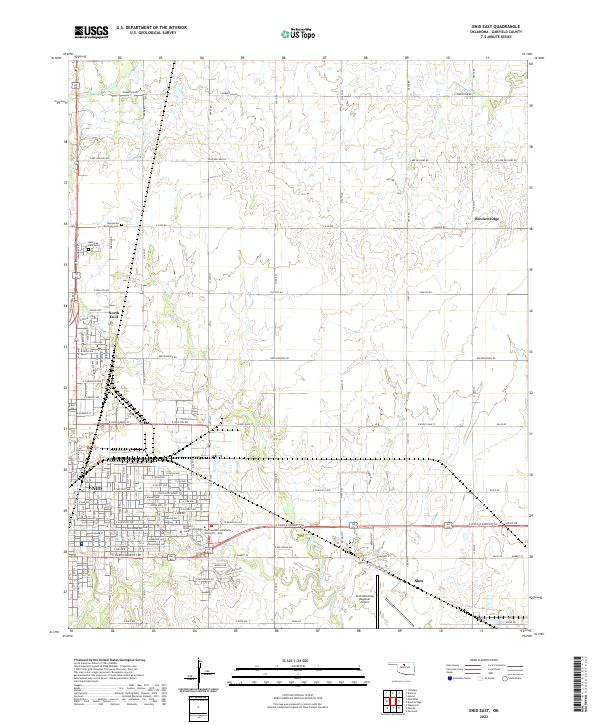 2022 Enid East2022 Print · USGSGarfield County's prairie landscape comes alive in this 2020s survey of the eastern expansion of Oklahoma's historic wheat capital. Researchers can trace local heritage through the Mennonite Brethren Cem, the campuses of Northern Oklahoma College - Enid, and the small community of Breckenridge.
 - 2022 Map of Enid West, 2022 Print
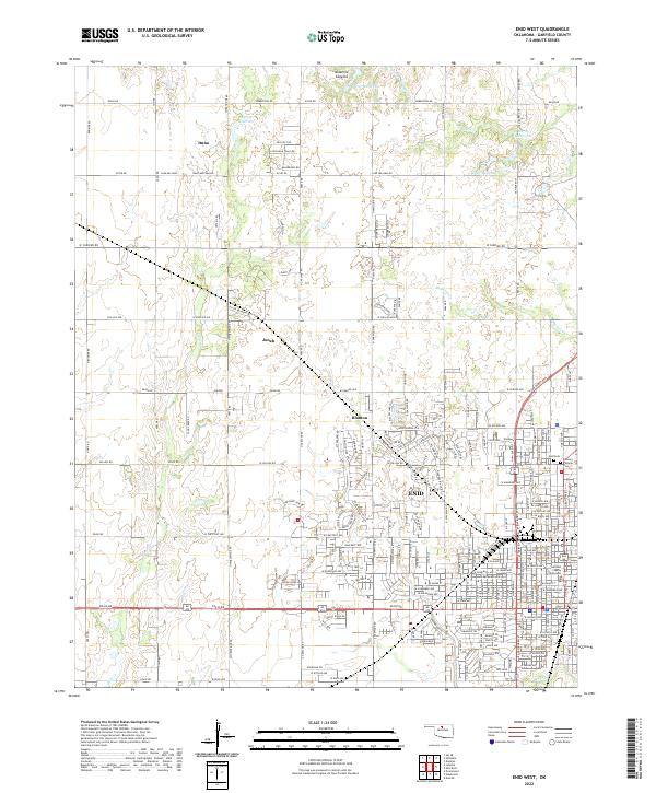 2022 Enid West2022 Print · USGSThe western outskirts of Enid and the surrounding Garfield County prairie are captured here in the early twenty-first century. Researchers can trace historic routes like Chisholm Trail Rd or locate rural settlements including Ituna, Jonah, and Blanton.
End of results
Showing maps 1-20 of 20
Top cities near Enid
- Waukomis historical maps
- North Enid historical maps
- Lahoma historical maps
- Drummond historical maps
- Kremlin historical maps
- Hunter historical maps
See more
Top neighborhoods of Enid
Frequently asked questions
- What are the different types of historical maps available for Enid?
- What is the oldest map of Enid?
- Where can I purchase historical maps of Enid for my home or office?
- Where can I download high-res historical maps of Enid?
- Are there historical topographic maps available for Enid?
- Is there historical aerial imagery available for Enid?
- Where are historical maps of Enid sourced from?