2010s Maps of Texas County, Oklahoma
Explore 192 historic maps of Texas County from the 2010s. These maps offer a rare glimpse into what life looked like during the 2010s — showing old roads, neighborhoods, homes, and landmarks that have changed or disappeared over time.
Whether you're researching your family's past, planning a metal detecting trip, or studying how Texas County's landscape evolved across the 2010s, these high-resolution maps are a powerful tool for exploring the history of this region.
- Focus on a specific era: All maps on this page are from the 2010s, giving you a focused view of this time period.
- See what’s changed: Compare century-old streets, trails, and buildings to today's modern landscape using overlays and satellite layers.
- Research with precision: Use these maps for genealogy, historical research, land use analysis, or educational projects.
- View, download, or print: Maps are fully viewable online in high resolution, and can be downloaded or printed for your own records.
Start exploring Texas County's history through authentic maps from the 2010s. This is your window into the past.
Texas County, OK maps
(192)- 2010 Map of Texhoma NE, 2010 Print
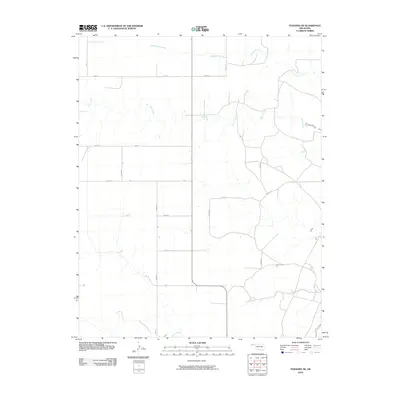 2010 Texhoma NE2010 Print · USGSThe High Plains of the Oklahoma Panhandle appear in this early twenty-first-century survey of Texas County. Researchers can trace the intersections of rural section roads and waterways like Tepee Creek, Spring Aroa Creek, and Sand Creek.
 - 2010 Map of Guymon, 2010 Print
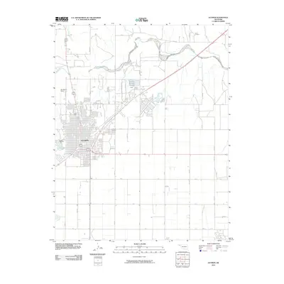 2010 Guymon2010 Print · USGSGuymon and the surrounding Texas County prairie are captured here in the early twenty-first century as the city expanded across the High Plains. Researchers can trace the development of local landmarks like Sunset Lake, find family plots in Carter Cemetery, and follow the seasonal course of the Beaver River.
 - 2010 Map of Turpin West, 2010 Print
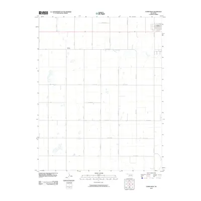 2010 Turpin West2010 Print · USGSThe Oklahoma Panhandle is shown here in the early twenty-first century, revealing the intersection of modern rural infrastructure and the high plains landscape. Genealogists and local historians can locate Nabisco Cemetery and the outskirts of Turpin along the course of Sharp Creek.
 - 2010 Map of Hooker, 2010 Print
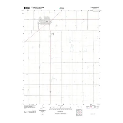 2010 Hooker2010 Print · USGSThe Oklahoma Panhandle town of Hooker and its surrounding agricultural grid are documented here in the early twenty-first century. Researchers can trace local landmarks like Hooker Cemetery and navigate the rural road network, including CO HWY 15 and Les White Ind Rd.
 - 2010 Map of Texhoma NW, 2010 Print
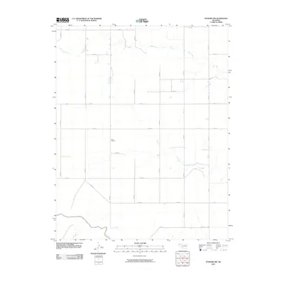 2010 Texhoma NW2010 Print · USGSThe Oklahoma Panhandle south of the Cimarron Valley remains a landscape of sprawling ranchland and precise section lines in the early twenty-first century. Genealogists and local historians can locate Baker Cemetery and trace the winding courses of Tepee Creek and Sand Creek through the plains.
 - 2010 Map of Optima, 2010 Print
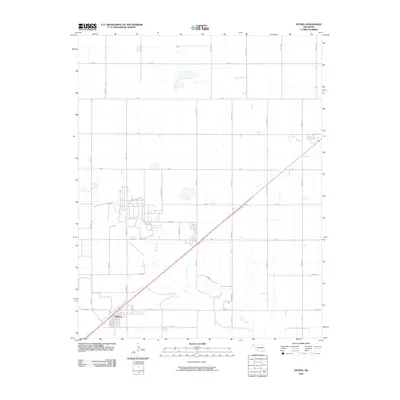 2010 Optima2010 Print · USGSThe Oklahoma Panhandle near the turn of the decade is defined by its precise section-line grids and the settlement of Optima. Researchers can trace the modern road network across Texas County, from the banks of Pony Creek to junctions along Co Hwy 7.
 - 2010 Map of Hardesty NE, 2010 Print
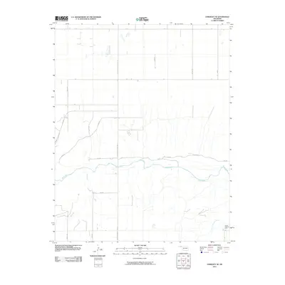 2010 Hardesty NE2010 Print · USGSTexas County, Oklahoma, is shown in the early twenty-first century as a landscape of structured agriculture and river drainage. Genealogists and local researchers can locate Gibson Assembly Camp and trace the paths of the Beaver River and Dry Creek.
 - 2010 Map of Hough SW, 2010 Print
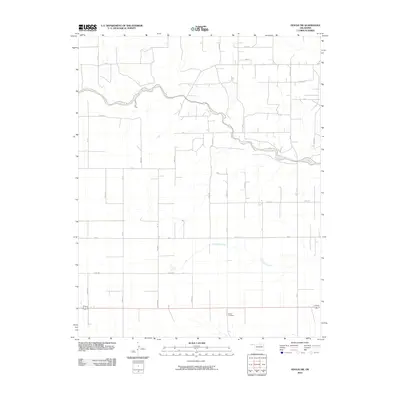 2010 Hough SW2010 Print · USGSThe Oklahoma Panhandle is shown here in the early twenty-first century, defined by its characteristic rural grid and high plains drainage. Local researchers can locate Bethel Cemetery and trace the winding course of Goff Creek and Little Goff Creek.
 - 2010 Map of Adams, 2010 Print
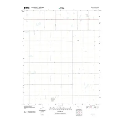 2010 Adams2010 Print · USGSThe Oklahoma Panhandle near Adams reflects a landscape of agricultural order and rural isolation in the early twenty-first century. Genealogists and local historians can locate specific burial grounds like Denman Cemetery and Happy Cemetery among the grid of Co Hwy 15 and Mile 51 Rd.
 - 2010 Map of Hopkins, 2010 Print
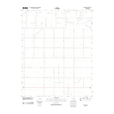 2010 Hopkins2010 Print · USGSThe Oklahoma Panhandle is captured here in the early twenty-first century, showing a landscape defined by industrial-scale agriculture and section-line infrastructure. Researchers can trace the path of Goff Creek as it cuts across the grid formed by Co Rd J, Rd M, and Road N.
 - 2010 Map of Eva SE, 2010 Print
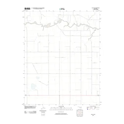 2010 Eva SE2010 Print · USGSTexas County at the turn of the millennium is characterized by its vast agricultural grid and the winding course of Goff Creek. Researchers can trace the section-line roads of the Panhandle, following routes such as Road N and N0850 Rd across this rural landscape.
 - 2010 Map of Red Horse Creek, 2010 Print
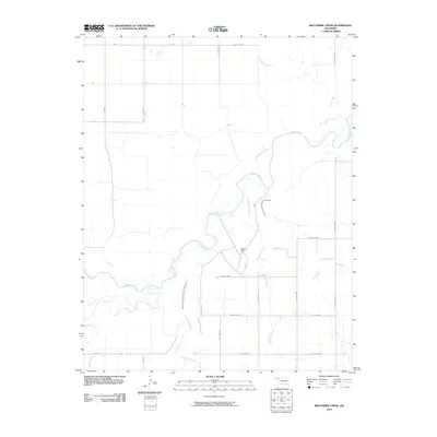 2010 Red Horse Creek2010 Print · USGSTexas County ranch lands and river valleys are captured here during the first decade of the new millennium. Researchers can trace the winding course of the Beaver River and locate local landmarks like the Walden Ranch and Red Horse Creek.
 - 2010 Map of Guymon NE, 2010 Print
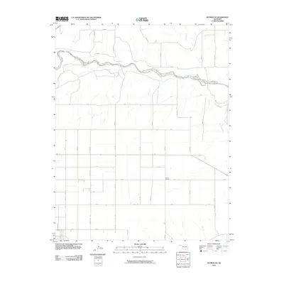 2010 Guymon NE2010 Print · USGSTexas County in the early twenty-first century remains defined by its rhythmic grid of prairie roads and the winding course of the Beaver River. Genealogists and local researchers can locate Banner Cemetery or trace travel routes along Fast Rd and Mile 42.
 - 2010 Map of Griggs NE, 2010 Print
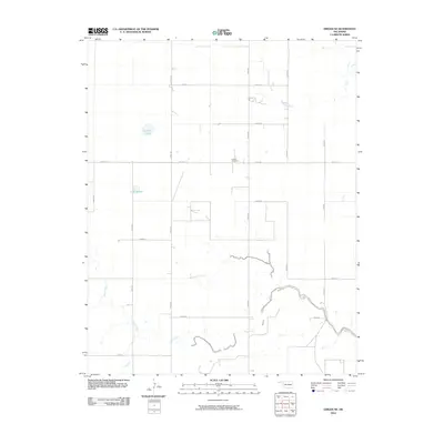 2010 Griggs NE2010 Print · USGSTexas County, Oklahoma, is shown in the early twenty-first century as a landscape of structured ranching and section-line roads. Genealogists and local researchers can locate Hutsell Cemetery and trace the paths of Sand Creek and Tepee Creek across the high plains.
 - 2010 Map of Optima Dam, 2010 Print
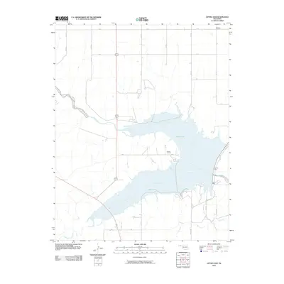 2010 Optima Dam2010 Print · USGSTexas County, Oklahoma, is shown here as a landscape shaped by water engineering and the high plains grid in the early twenty-first century. Genealogists and local historians can locate Hardesty Cemetery and Brethren Cemetery alongside the waters of Optima Lake.
 - 2010 Map of Goodwell NW, 2010 Print
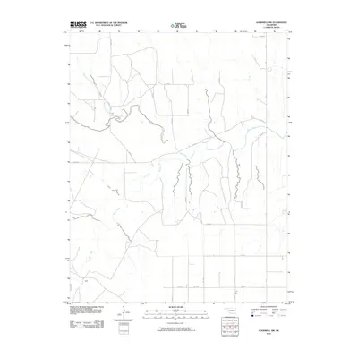 2010 Goodwell NW2010 Print · USGSThe Oklahoma Panhandle is shown here in the early twenty-first century, where the section-line grid meets the winding Beaver River. Genealogists and local historians can trace the rural landscape via local routes like Mile 21 and the waterway of Tepee Creek.
 - 2010 Map of Eva, 2010 Print
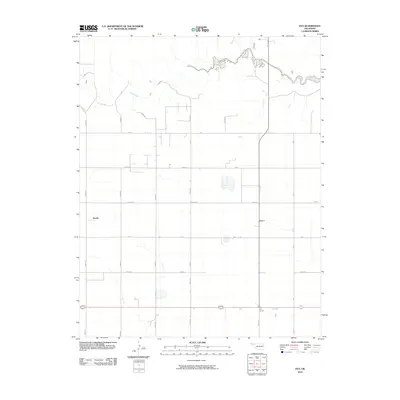 2010 Eva2010 Print · USGSThe rural Oklahoma Panhandle is captured here at the start of the decade, showing a landscape defined by its rigid section-line grid. Genealogists and local historians can trace the sparse settlements of Eva, Doolin, and Four Corners along routes like Mile 5 Rd.
 - 2010 Map of Goodwell NE, 2010 Print
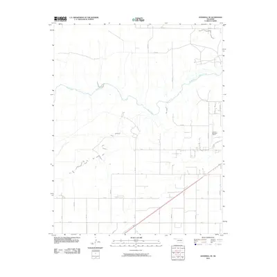 2010 Goodwell NE2010 Print · USGSThe Oklahoma Panhandle northeast of Guymon appears in the early twenty-first century as a landscape of precision-grid section roads and river bends. Researchers can trace the path of the Beaver River or locate the grounds of the Guymon Municipal Airport near N Buffalo Dr.
 - 2010 Map of Straight SW, 2010 Print
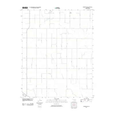 2010 Straight SW2010 Print · USGSTexas County's rural Panhandle landscape is captured here in the early twenty-first century, defined by a rigid grid of agricultural section roads. Genealogists and local historians can trace property boundaries near Mouser or follow the paths of Pony Creek and Goff Creek across the plains.
 - 2010 Map of Hough, 2010 Print
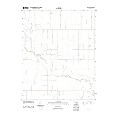 2010 Hough2010 Print · USGSHough and the surrounding Texas County prairie appear in the early 2000s as a landscape of rural grids and winding creek beds. Researchers can locate family burial sites at Lee Cemetery and Trinity Lutheran Cemetery or trace the path of Goff Creek across the plains.
 - 2010 Map of Frisco Creek East, 2010 Print
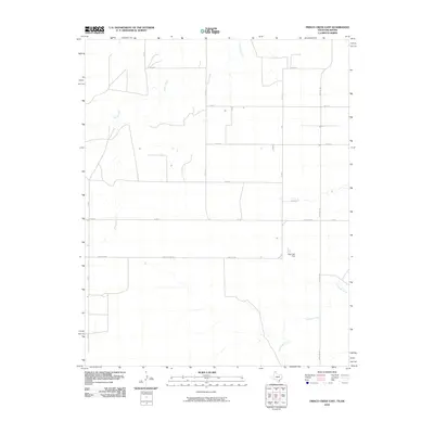 2010 Frisco Creek East2010 Print · USGSTexas County land patterns are etched into the High Plains on this early 21st-century survey. Genealogists and land researchers can trace property boundaries and rural access routes like Farm Rd 1262 or locate the Steji Lake Dam along the local drainages.
 - 2010 Map of Horseshoe Hill, 2010 Print
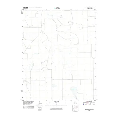 2010 Horseshoe Hill2010 Print · USGSTexas County, Oklahoma, at the start of the 2010s reveals a high plains landscape defined by its vital water sources and ranching roads. Researchers can trace the drainage of Palo Duro Creek and locate landmarks like Horseshoe Hill and Peckenpaugh Lake.
 - 2010 Map of Frisco Creek West, 2010 Print
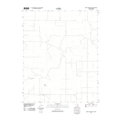 2010 Frisco Creek West2010 Print · USGSTexas County and the Oklahoma borderlands are shown in this 2010 survey, illustrating a landscape shaped by water management and high-plains agriculture. Genealogists and researchers can trace local water sources and homestead access via Frisco Creek, Runyan Lake, and FM 2349.
 - 2010 Map of Phillips Camp, 2010 Print
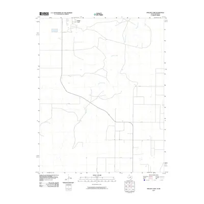 2010 Phillips Camp2010 Print · USGSHansford County ranching country and the winding banks of Coldwater Creek are shown here in the early twenty-first century. Researchers can trace the rural road network and identify modern industrial sites like Phillips Camp or the routes along Co Rd F.
 - 2010 Map of Perryton NW, 2010 Print
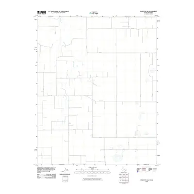 2010 Perryton NW2010 Print · USGSThe rural borderlands of the Oklahoma and Texas Panhandle are captured here during the first decade of the millennium. Genealogists and land researchers can trace the paths of Chiquita Creek and a network of section roads like Farm Rd 1287 and Co Rd 10.
Showing maps 1-25 of 192
Top cities of Texas County
- Guymon historical maps
- Hooker historical maps
- Goodwell historical maps
- Tyrone historical maps
- Texhoma, OK historical maps
- Optima historical maps
See more
Frequently asked questions
- What are the different types of historical maps available for Texas County?
- What is the oldest map of Texas County?
- Where can I purchase historical maps of Texas County for my home or office?
- Where can I download high-res historical maps of Texas County?
- Are there historical topographic maps available for Texas County?
- Is there historical aerial imagery available for Texas County?
- Where are historical maps of Texas County sourced from?