2020s Maps of Texas County, Oklahoma
Explore 48 historic maps of Texas County from the 2020s. These maps offer a rare glimpse into what life looked like during the 2020s — showing old roads, neighborhoods, homes, and landmarks that have changed or disappeared over time.
Whether you're researching your family's past, planning a metal detecting trip, or studying how Texas County's landscape evolved across the 2020s, these high-resolution maps are a powerful tool for exploring the history of this region.
- Focus on a specific era: All maps on this page are from the 2020s, giving you a focused view of this time period.
- See what’s changed: Compare century-old streets, trails, and buildings to today's modern landscape using overlays and satellite layers.
- Research with precision: Use these maps for genealogy, historical research, land use analysis, or educational projects.
- View, download, or print: Maps are fully viewable online in high resolution, and can be downloaded or printed for your own records.
Start exploring Texas County's history through authentic maps from the 2020s. This is your window into the past.
Texas County, OK maps
(48)- 2022 Map of Elkhart South, 2022 Print
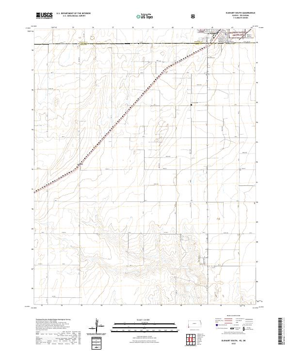 2022 Elkhart South2022 Print · USGSThe Kansas-Oklahoma border comes alive in this survey of the high plains south of Elkhart. Genealogists and local researchers can trace early family plots at Cosmos Cem or locate the former rail stop at Libbey along the section lines.
 - 2022 Map of Eva SE, 2022 Print
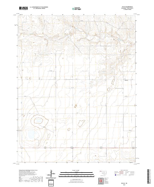 2022 Eva SE2022 Print · USGSTexas County, Oklahoma, is shown in its modern rural character, defined by the vast grid of the Panhandle plains. Researchers can trace the path of Goff Creek and locate the small settlement of Muncy among the section lines of Road N and E0160 Rd.
 - 2022 Map of Eva, 2022 Print
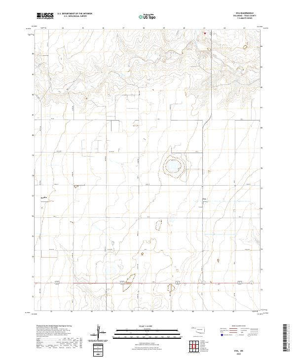 2022 Eva2022 Print · USGSTexas County, Oklahoma, in the early twenty-first century reveals the enduring grid of Panhandle ranching life. Genealogists and local historians can trace the legacy of the High Plains through the small settlements of Eva and Doolin along the banks of Goff Creek.
 - 2022 Map of Texhoma North, 2022 Print
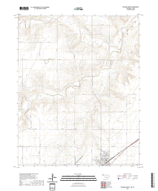 2022 Texhoma North2022 Print · USGSThe Oklahoma-Texas borderlands are captured here in the twenty-first century as the town of Texhoma anchors the southern plains. Researchers can trace the street-level development near Main St or follow the riparian corridor of the Beaver River.
 - 2022 Map of Straight, 2022 Print
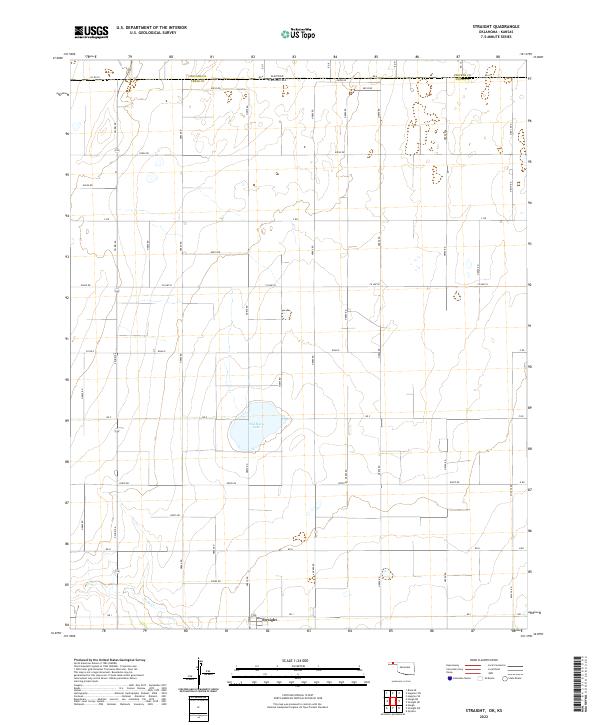 2022 Straight2022 Print · USGSThe High Plains of the Oklahoma panhandle meet the Kansas border in this recent survey of a rural agricultural landscape. Genealogists and local historians can trace the grid-work surrounding Straight and the basin of Wild Horse Lake.
 - 2022 Map of Eva NE, 2022 Print
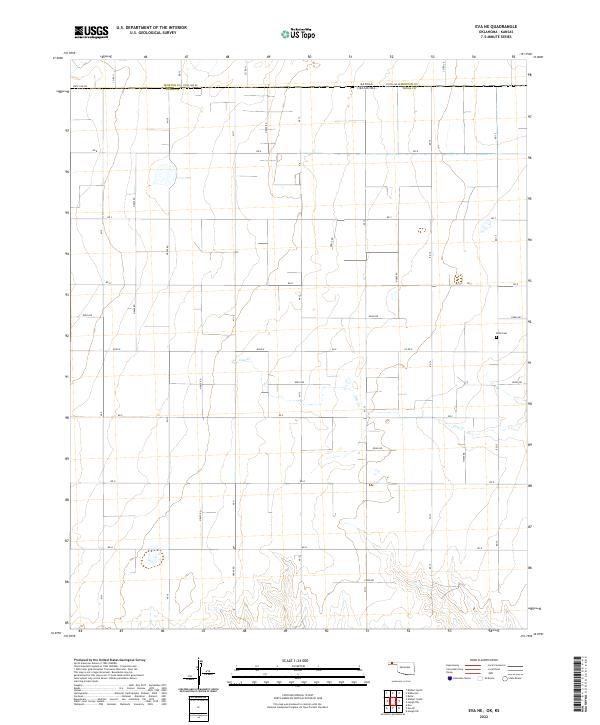 2022 Eva NE2022 Print · USGSThe Kansas-Oklahoma border comes into focus in this recent survey of the High Plains, where the grid of State Line Rd separates the two states. Researchers can locate the Kuhn Cem and trace the winding course of Cow Cr through several rural townships.
 - 2022 Map of Goodwell SE, 2022 Print
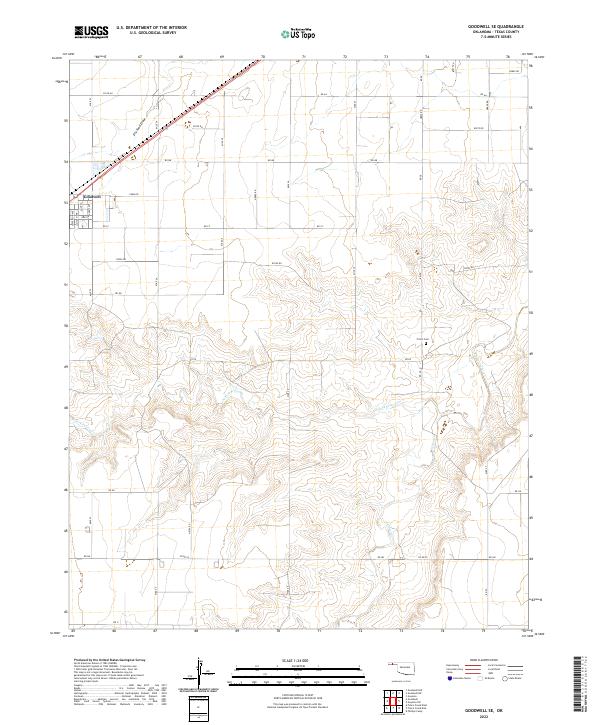 2022 Goodwell SE2022 Print · USGSThe southeastern outskirts of Goodwell and the surrounding plains of Texas County are captured here in the early twenty-first century. Researchers can trace rural section lines and family sites near Frisco Cem or follow the path of Frisco Creek.
 - 2022 Map of Griggs, 2022 Print
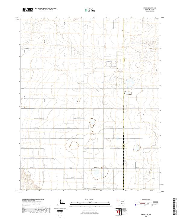 2022 Griggs2022 Print · USGSThe rural landscape around the Oklahoma-Texas border is meticulously documented in this contemporary survey of the Panhandle. Researchers can trace the section lines and local roads surrounding Griggs and follow the county line separating Cimarron Co from Texas Co.
 - 2022 Map of Little Ponderosa, 2022 Print
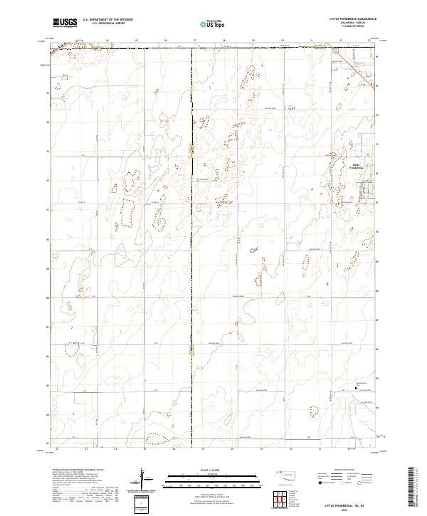 2022 Little Ponderosa2022 Print · USGSThis High Plains borderland at the Oklahoma-Kansas line shows the rural development of Beaver and Texas counties. Researchers can trace local landmarks like Independence Cem and the small settlement of Little Ponderosa among the section-line roads.
 - 2022 Map of Hardesty, 2022 Print
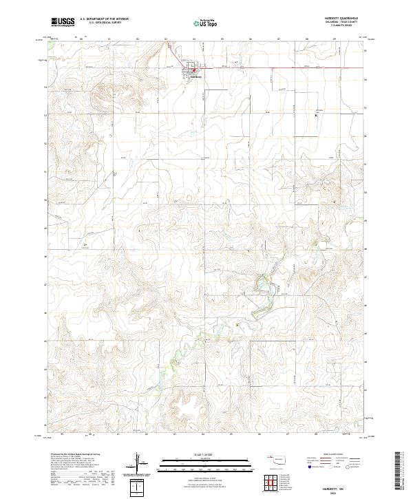 2022 Hardesty2022 Print · USGSTexas County, Oklahoma, is shown here in the modern era as a landscape of structured ranch roads and ephemeral watercourses. Genealogists and local historians can locate Hardesty and the nearby Hartsville Cem, or trace the path of Hackberry Creek.
 - 2022 Map of Texhoma SW, 2022 Print
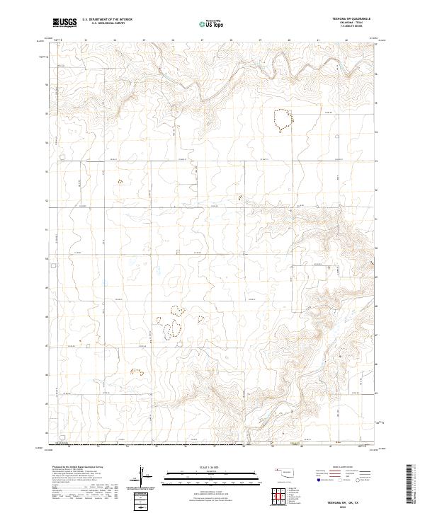 2022 Texhoma SW2022 Print · USGSThe interstate borderlands of the Oklahoma and Texas Panhandles are captured here in the early twenty-first century. Genealogists and local historians can trace the rural landscape across the state line along Beaver River and the extensive grid of section roads like Co Hwy 51 and Mile 7.
 - 2022 Map of Red Horse Creek, 2022 Print
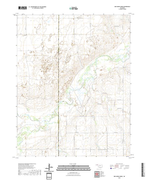 2022 Red Horse Creek2022 Print · USGSThe Oklahoma Panhandle's borderlands are captured here in a period of quiet, rural stability where Texas and Beaver counties meet. Researchers can trace family history at the Union Center Cem or follow the path of the Beaver River and its tributaries like Red Horse Cr.
 - 2022 Map of Bryans Corner SW, 2022 Print
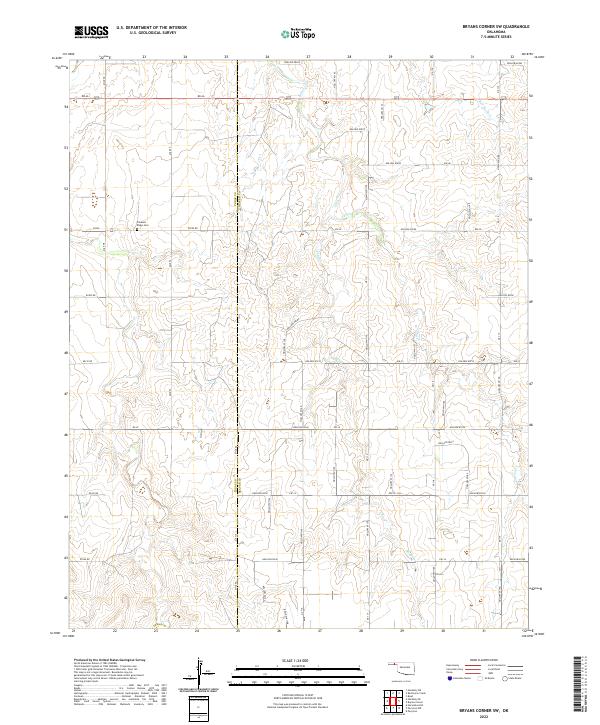 2022 Bryans Corner SW2022 Print · USGSThe Oklahoma Panhandle borderlands are captured here in the early twenty-first century, showing the intersection of Texas and Beaver counties. Genealogists and local historians can locate Pleasant Ridge Cem and trace the paths of Fulton Cr and Sand Cr.
 - 2022 Map of Guymon, 2022 Print
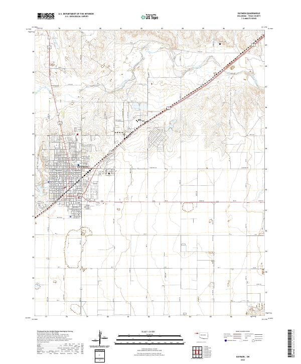 2022 Guymon2022 Print · USGSGuymon and the surrounding Oklahoma Panhandle landscape are captured here in 2022, showing the city's growth and its vital river connections. Local historians can trace the town's grid from the Texas County Courthouse out to landmarks like Elmhurst Cem and the Beaver River.
 - 2022 Map of Hopkins, 2022 Print
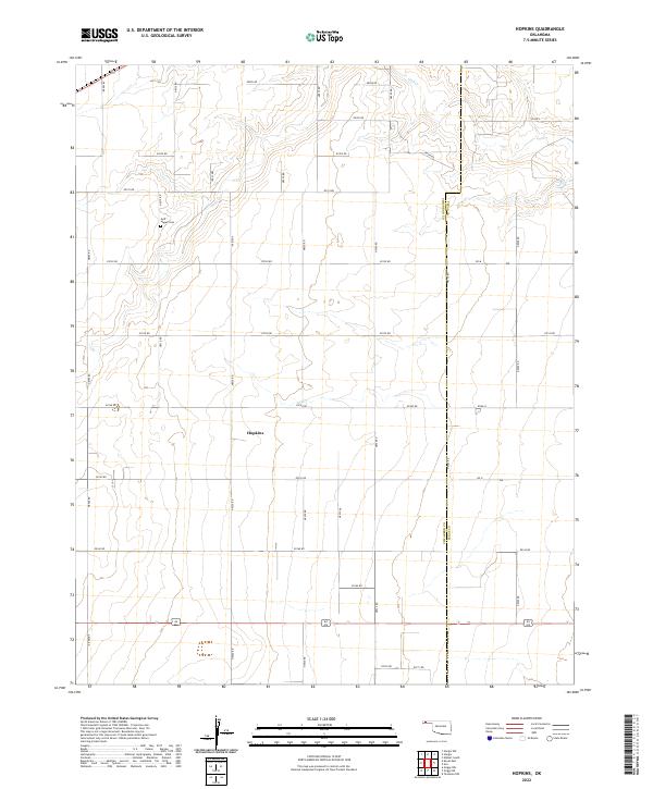 2022 Hopkins2022 Print · USGSCimarron County’s high plains and section-line roads are captured in this recent survey of the Oklahoma Panhandle. Researchers can locate the settlement of Hopkins and trace local history at the Goff - Hagan Cem near the banks of Goff Cr.
 - 2022 Map of Tyrone, 2022 Print
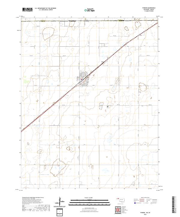 2022 Tyrone2022 Print · USGSThe Oklahoma Panhandle is showcased in this contemporary survey of the borderlands near the Kansas state line. Genealogists and local historians can trace the streets of Tyrone, locate the Tyrone Cem, and follow the rail corridor through Fluor.
 - 2022 Map of Hardesty SE, 2022 Print
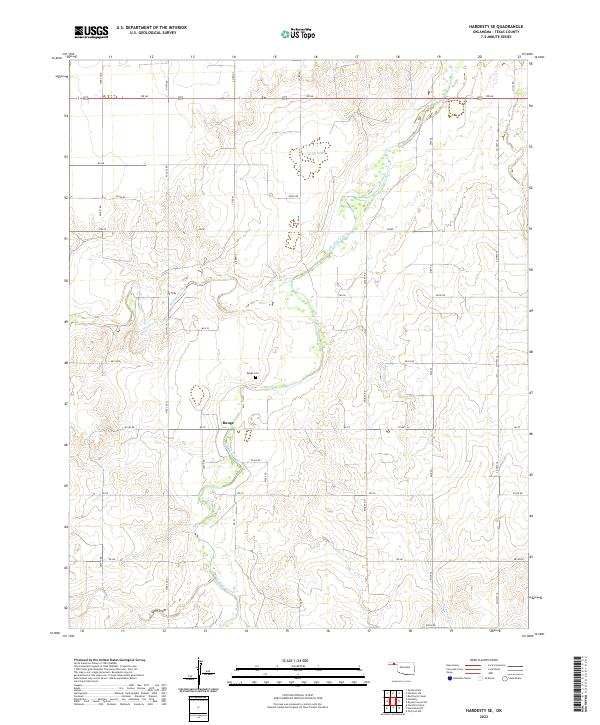 2022 Hardesty SE2022 Print · USGSTexas County, Oklahoma, is shown in the early twenty-first century as a landscape of section-line roads and creek drainages. Researchers can locate the community of Range, find the Range Cem, and trace the winding course of Palo Duro Creek.
 - 2022 Map of Guymon SW, 2022 Print
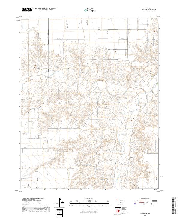 2022 Guymon SW2022 Print · USGSTexas County, Oklahoma, is shown here in the early twenty-first century as a landscape of organized section-line roads and winding creek drainages. Researchers can locate the Roy Cem and trace the paths of Frisco Creek and Coldwater Cr through the local ranchlands.
 - 2022 Map of Sturgis, 2022 Print
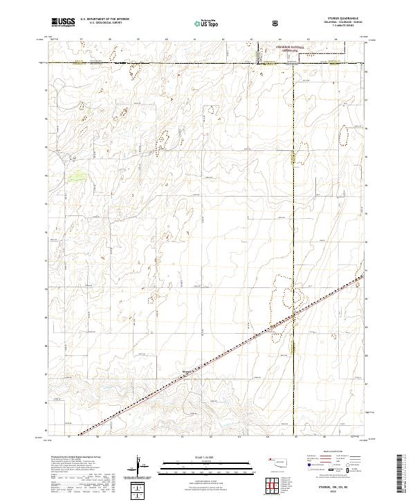 2022 Sturgis2022 Print · USGSThe tri-state border region of the Oklahoma Panhandle comes into focus in this modern survey of the high plains. Researchers can trace the remote settlement of Sturgis, follow the course of Goff Cr, and map the boundaries of the Cimarron National Grassland.
 - 2022 Map of Hooker, 2022 Print
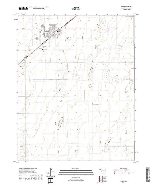 2022 Hooker2022 Print · USGSTexas County settlement and agricultural life are clearly defined in this modern survey of Hooker. Genealogists can trace family heritage through a significant cluster of burial grounds, including the Lutheran Babyland Cem and Saint Johannes Evangelical Cem.
 - 2022 Map of Hardesty NE, 2022 Print
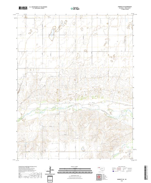 2022 Hardesty NE2022 Print · USGSTexas County, Oklahoma, is shown here in the early 2020s, dominated by the winding course of the Beaver River. Genealogists and historians can trace the local grid of section-line roads, including Co Rd 53 and Mile 51, as they cross through the breaks of Palo Duro Cr.
 - 2022 Map of Goodwell, 2022 Print
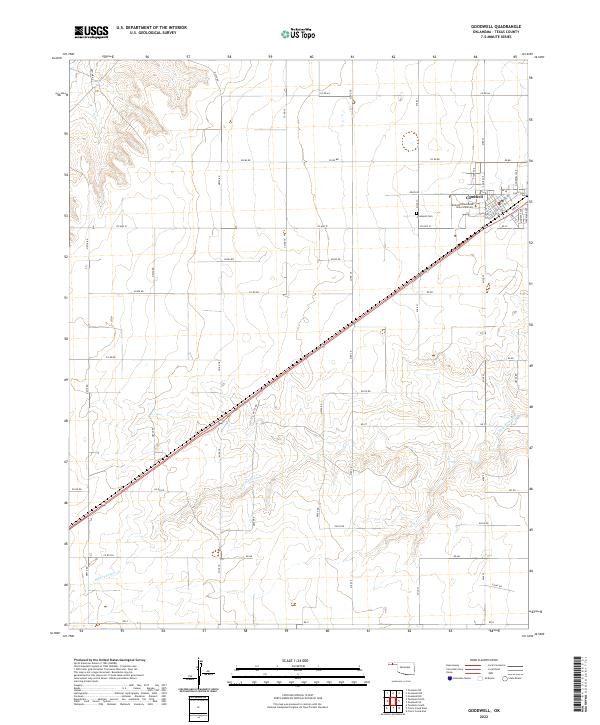 2022 Goodwell2022 Print · USGSThe Oklahoma Panhandle is shown in modern detail, focusing on the university town of Goodwell as it exists today. Genealogists and researchers can trace the town’s residential expansion and locate specific sites like Oklahoma Panhandle State University and the Goodwell Cem.
 - 2022 Map of Straight SW, 2022 Print
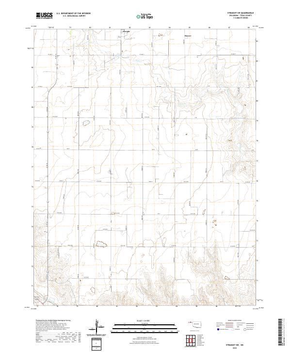 2022 Straight SW2022 Print · USGSThe Oklahoma Panhandle in the early twenty-first century is defined by its agricultural grid and winding creek beds. Genealogists and local historians can trace the rural property boundaries and infrastructure around Straight and Mouser or along the banks of Pony Cr.
 - 2022 Map of Hooker NW, 2022 Print
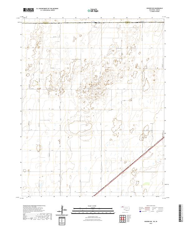 2022 Hooker NW2022 Print · USGSThe Oklahoma Panhandle meets the Kansas border in this modern survey of the rural high plains. Researchers can trace the section-line roads of Stevens County and Texas County, including Co Hwy D and N1030 Rd.
 - 2022 Map of Texhoma NW, 2022 Print
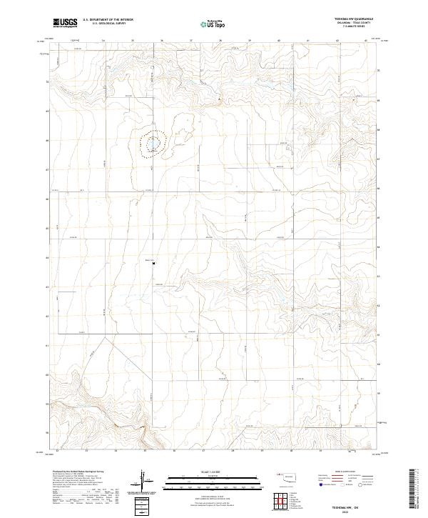 2022 Texhoma NW2022 Print · USGSThe Oklahoma panhandle's vast agricultural grid is captured here in the early twenty-first century. Researchers can locate the Baker Cem and trace the paths of Tepee Cr and Sand Creek through this sparsely settled landscape.
Showing maps 1-25 of 48
Top cities of Texas County
- Guymon historical maps
- Hooker historical maps
- Goodwell historical maps
- Tyrone historical maps
- Texhoma, OK historical maps
- Optima historical maps
See more
Frequently asked questions
- What are the different types of historical maps available for Texas County?
- What is the oldest map of Texas County?
- Where can I purchase historical maps of Texas County for my home or office?
- Where can I download high-res historical maps of Texas County?
- Are there historical topographic maps available for Texas County?
- Is there historical aerial imagery available for Texas County?
- Where are historical maps of Texas County sourced from?