2000s (21st Century) Maps of Tillamook County, Oregon
Explore 190 historic maps of Tillamook County from the 2000s (21st Century). These maps offer a rare glimpse into what life looked like during the 2000s — showing old roads, neighborhoods, homes, and landmarks that have changed or disappeared over time.
Whether you're researching your family's past, planning a metal detecting trip, or studying how Tillamook County's landscape evolved across the 2000s, these high-resolution maps are a powerful tool for exploring the history of this region.
- Focus on a specific era: All maps on this page are from the 2000s, giving you a focused view of this time period.
- See what’s changed: Compare century-old streets, trails, and buildings to today's modern landscape using overlays and satellite layers.
- Research with precision: Use these maps for genealogy, historical research, land use analysis, or educational projects.
- View, download, or print: Maps are fully viewable online in high resolution, and can be downloaded or printed for your own records.
Start exploring Tillamook County's history through authentic maps from the 2000s. This is your window into the past.
Tillamook County, OR maps
(190)- 2011 Map of Neskowin OE W, 2011 Print
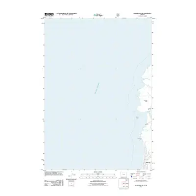 2011 Neskowin OE W2011 Print · USGSThe Oregon coast at the start of the 2010s reveals a distinct boundary between the northern edge of Lincoln City and the heights of Cascade Head. Genealogists and researchers can trace local landmarks like Roads End, Camp Westwind, and the estuary near Three Rocks.
 - 2011 Map of Hebo, 2011 Print
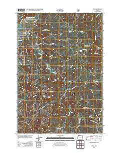 2011 Hebo2011 Print · USGSThe coastal range of Tillamook County comes into focus in this recent survey, showcasing the timber and trout-rearing landscape of the early twenty-first century. Genealogists and historians can locate the Independent Order of Odd Fellows Hebo Cemetery, Castlerock Lodge, and the Cedar Creek Hatchery.
 - 2011 Map of Blaine, 2011 Print
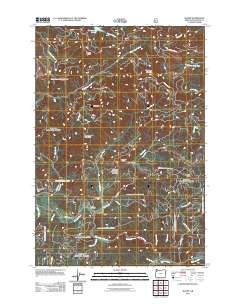 2011 Blaine2011 Print · USGSBlaine and the surrounding Coast Range ridges are documented here during the early 2010s. Genealogists and local historians can trace the Blaine Cemetery and Detrick Ranch alongside the winding Nestucca River and South Fork Trask River drainage.
 - 2011 Map of Midway, 2011 Print
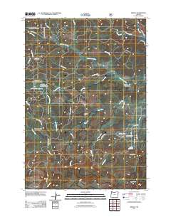 2011 Midway2011 Print · USGSThe Coast Range highlands of Yamhill County are captured here at the start of the twenty-first century, showing a landscape defined by forestry and river headwaters. Genealogists and historians can trace old mountain routes like SW Old Toll Rd and locate landmarks such as Rock Creek Hideout or the Hidout Reservoir.
 - 2011 Map of Niagara Creek, 2011 Print
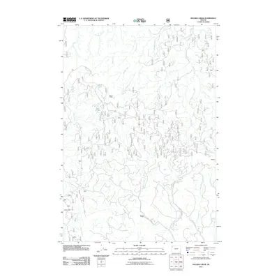 2011 Niagara Creek2011 Print · USGSIn the forested highlands of Yamhill County during the early twenty-first century, this map details a landscape of timber ridges and winding creeks. Trace the remote settlement at Little Hebo, find the uniquely named Asinine Bridge, and follow the path of Niagara Creek.
 - 2011 Map of Tillamook, 2011 Print
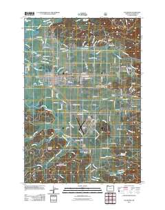 2011 Tillamook2011 Print · USGSCoastal Oregon at the turn of the decade reveals a landscape defined by the convergence of several major rivers into the bay. Researchers can trace family history through sites like Sacred Heart Cemetery and Trout Cemetery or locate landmarks like the Tillamook Airport and Sollie Smith Bridge.
 - 2011 Map of Neskowin, 2011 Print
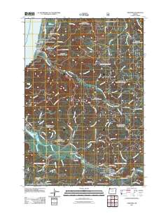 2011 Neskowin2011 Print · USGSThe Oregon coast at the turn of the decade features a network of river-valley settlements and coastal outposts. Genealogists and researchers can trace local landmarks like the Neskowin Post Office, Salmon River Hatchery, and the distinctive sea stack at Proposal Rock.
 - 2011 Map of Beaver, 2011 Print
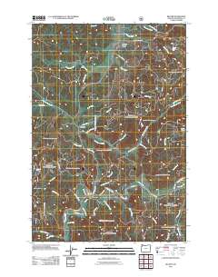 2011 Beaver2011 Print · USGSThe rural communities and timberlands of southern Tillamook County are captured here just after the turn of the millennium. Researchers can trace the riverfront settlements of Beaver and Pleasant Valley or locate local landmarks like Munson Creek Falls and the Beaver Post Office.
 - 2011 Map of Springer Mountain, 2011 Print
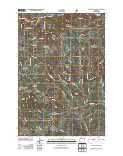 2011 Springer Mountain2011 Print · USGSYamhill County's highlands are captured here in the early twenty-first century, showing a landscape of timber management and remote outposts. Trace the drainage of Bible Creek past the Bible Ranch or locate the Coast Creek Shelter and the waters of Camp Cooper Reservoir.
 - 2011 Map of Dolph, 2011 Print
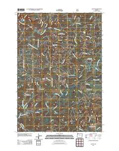 2011 Dolph2011 Print · USGSYamhill County timberlands and river valleys are captured here in the early twenty-first century. Researchers can trace the complex drainage of the Salmon River and Little Nestucca River, identifying landmarks like Gunaldo Falls and Yach Bridge.
 - 2011 Map of Dovre Peak, 2011 Print
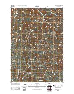 2011 Dovre Peak2011 Print · USGSTillamook County's high timber country is documented here in the early twenty-first century, showing the complex web of forest roads and river headwaters. You can trace historical access routes like the Toll Rd and Headquarters Grade or locate remote landmarks such as Trask Summit and Dovre Peak.
 - 2011 Map of Sand Lake, 2011 Print
 2011 Sand Lake2011 Print · USGSThe Oregon coast at the start of the twenty-first century reveals a dynamic interface of estuaries and high bluffs. Local historians can trace the roads and waterways around the settlement of Sandlake, the grounds of Camp Meriwether, and the landmarks of Whalen Island.
 - 2011 Map of Sand Lake OE W, 2011 Print
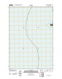 2011 Sand Lake OE W2011 Print · USGSThe open waters of the Oregon coast are the focus of this maritime-centric survey from the early 2010s. Maritime researchers and coastal historians can orient themselves to the nearshore depths and the expanse of the Pacific Ocean just off the Tillamook shoreline.
 - 2011 Map of Garibaldi, 2011 Print
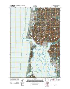 2011 Garibaldi2011 Print · USGSThe northern Oregon coast meets the complex waters of Tillamook Bay in the early twenty-first century. Genealogists and local historians can trace the streets of Rockaway Beach and Bay City, or locate landmarks like Camp Magruder and the Garibaldi Post Office.
 - 2011 Map of Kilchis River, 2011 Print
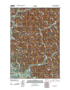 2011 Kilchis River2011 Print · USGSCoastal Oregon at the start of the 2010s reveals a landscape of river drainages and small settlements along the bay. Genealogists and local historians can trace family locations near Bay City, Idaville, and the City IOOF Cemetery.
 - 2011 Map of Netarts, 2011 Print
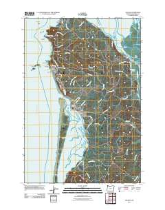 2011 Netarts2011 Print · USGSThe Oregon coast at the turn of the decade reveals a complex meeting of Pacific tides and Tillamook County settlements. Researchers can trace the development of coastal hamlets like Oceanside and Silver Sands or locate landmarks such as the Cape Meares Lighthouse and Netarts Spit.
 - 2011 Map of Cedar Butte, 2011 Print
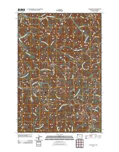 2011 Cedar Butte2011 Print · USGSThe Oregon Coast Range in the early twenty-first century is captured here as a landscape of steep ridges and deep river canyons. Modern researchers can trace the rugged drainage systems of the North Fork Kilchis River and locate landmarks like Kilchis Lookout and Kilchis Falls.
 - 2011 Map of Stony Mountain, 2011 Print
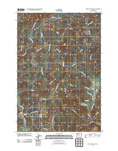 2011 Stony Mountain2011 Print · USGSYamhill County's forested ridges and narrow valleys are documented here in the early twenty-first century. Genealogists and local historians can locate several family landmarks, including the Buck Hollow Cemetery, Hussey Cemetery, and the Poverty Hollow Airport in Gopher Valley.
 - 2011 Map of Jordan Creek, 2011 Print
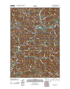 2011 Jordan Creek2011 Print · USGSCoastal mountain timberlands and river valleys define this part of Tillamook County in the early twenty-first century. Researchers can trace forest access roads and water features like Lees Camp, Ryan Creek Reservoir, and the slopes of Kings Mountain.
 - 2011 Map of Elsie, 2011 Print
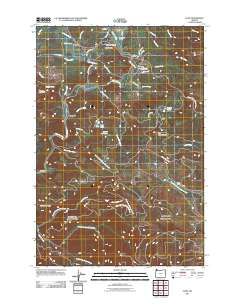 2011 Elsie2011 Print · USGSThe Nehalem River valley in the early twenty-first century remains a landscape of timber ridges and river-bottom settlements. Genealogists and local historians can trace family locations near Elsie, Mishawaka, and the Sunny Hill Cemetery or locate old camps like Camp Olson.
 - 2011 Map of The Peninsula, 2011 Print
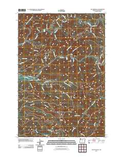 2011 The Peninsula2011 Print · USGSCoastal Oregon's high ridges and river valleys are documented here in the early twenty-first century, showing the intersection of the Wilson and Trask Rivers. You can trace the path of the old Wilson River Toll Rd and locate landmarks like the Trask River State Fish Hatchery and Mills Bridge.
 - 2011 Map of Soapstone Lake, 2011 Print
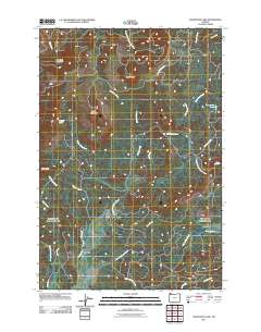 2011 Soapstone Lake2011 Print · USGSThe river valleys and timber ridges near Aldervale are captured here in the early twenty-first century. Researchers can trace the logging and access roads that thread toward Soapstone Lake, Gods Valley, and the summits of Sugarloaf Mountain.
 - 2011 Map of Cochran, 2011 Print
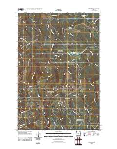 2011 Cochran2011 Print · USGSThe timber country of the Northern Oregon Coast Range is captured here in the early twenty-first century. Researchers can trace the layout of the settlement at Cochran, follow the drainage of Idiot Creek, and locate the high vantage of Blue Lake Lookout.
 - 2011 Map of Gobblers Knob, 2011 Print
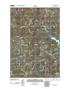 2011 Gobblers Knob2011 Print · USGSThe high watershed of Washington County is captured here in the early 2010s, showing the rugged headwaters of the Tualatin and Trask rivers. Trace the network of forest routes like NW Trask Toll Rd to landmarks such as Barney Reservoir and Ki-a-Kuts Falls.
 - 2011 Map of Timber, 2011 Print
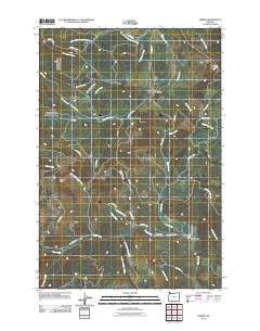 2011 Timber2011 Print · USGSNorthwestern Washington County's forested hills are shown here in the early twenty-first century, centered on the logging communities of Timber and Glenwood. Researchers can locate local landmarks like the Timber Post Office, Sunset Tunnel, and the Gales Creek Childrens Camp.
Showing maps 1-25 of 190
Top cities of Tillamook County
- Tillamook historical maps
- Rockaway Beach historical maps
- Bay City historical maps
- Garibaldi historical maps
- Manzanita historical maps
- Wheeler historical maps
See more
Frequently asked questions
- What are the different types of historical maps available for Tillamook County?
- What is the oldest map of Tillamook County?
- Where can I purchase historical maps of Tillamook County for my home or office?
- Where can I download high-res historical maps of Tillamook County?
- Are there historical topographic maps available for Tillamook County?
- Is there historical aerial imagery available for Tillamook County?
- Where are historical maps of Tillamook County sourced from?