2020s Maps of Tillamook County, Oregon
Explore 76 historic maps of Tillamook County from the 2020s. These maps offer a rare glimpse into what life looked like during the 2020s — showing old roads, neighborhoods, homes, and landmarks that have changed or disappeared over time.
Whether you're researching your family's past, planning a metal detecting trip, or studying how Tillamook County's landscape evolved across the 2020s, these high-resolution maps are a powerful tool for exploring the history of this region.
- Focus on a specific era: All maps on this page are from the 2020s, giving you a focused view of this time period.
- See what’s changed: Compare century-old streets, trails, and buildings to today's modern landscape using overlays and satellite layers.
- Research with precision: Use these maps for genealogy, historical research, land use analysis, or educational projects.
- View, download, or print: Maps are fully viewable online in high resolution, and can be downloaded or printed for your own records.
Start exploring Tillamook County's history through authentic maps from the 2020s. This is your window into the past.
Tillamook County, OR maps
(76)- 2020 Map of Sand Lake OE W, 2020 Print
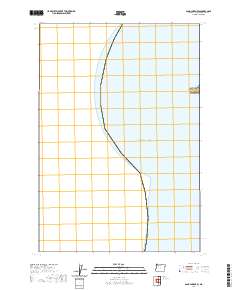 2020 Sand Lake OE W2020 Print · USGSThe coastal waters of Tillamook County meet the shore at the turn of the twenty-first century, centered on a major maritime landmark. Researchers can trace the precise contours of the Cape Lookout headland as it extends into the Pacific Ocean.
 - 2020 Map of Neskowin OE W, 2020 Print
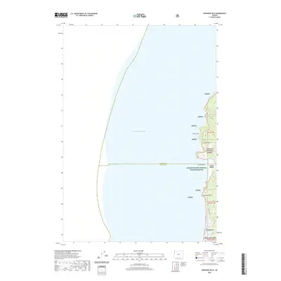 2020 Neskowin OE W2020 Print · USGSCoastal Oregon at the turn of the decade reveals the intersection of residential growth and federal conservation. Genealogists and hikers can trace the streets of Roads End up to the wilderness boundaries of Cascade Head and the secluded Harts Cove.
 - 2020 Map of Timber, 2020 Print
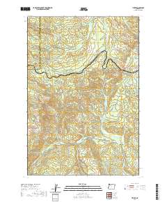 2020 Timber2020 Print · USGSThe timber country of the Coast Range comes into focus in this recent survey of the Washington and Tillamook county line. Researchers can trace the rugged topography around Timber and Glenwood or locate landmarks like Sunset Tunnel 2552 and the Bauer Reservoir.
 - 2020 Map of Sunset Spring, 2020 Print
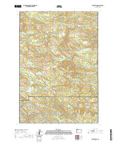 2020 Sunset Spring2020 Print · USGSClatsop and Tillamook counties meet in this modern survey of the Oregon Coast Range, highlighting the intersection of deep-timber watersheds. Researchers can trace land access via the Rock Creek Mainline and locate landmarks like Sunset Spring and Dog Thief Point.
 - 2020 Map of Cochran, 2020 Print
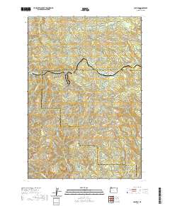 2020 Cochran2020 Print · USGSThe Coast Range peaks of Tillamook and Washington Counties are shown here during the late twenty-teens. Researchers can trace the drainage of the Salmonberry River or locate historic timber infrastructure like Standard Grade and Cochran Pond.
 - 2020 Map of Gobblers Knob, 2020 Print
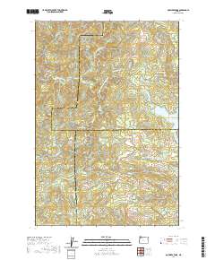 2020 Gobblers Knob2020 Print · USGSThe high timber country of the Northern Oregon Coast Range is documented here in the early twenty-first century as modern forestry roads lace through steep drainages. Researchers can trace the headwaters of the Tualatin River and locate remote landmarks like Ki-a-Kuts Falls or the historic path of the Toll Rd.
 - 2020 Map of Cook Creek, 2020 Print
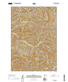 2020 Cook Creek2020 Print · USGSCoastal Oregon's northern interior remains a rugged landscape of deep canyons and high ridges as seen in this 2020 survey. Genealogists and researchers can trace the reach of Anderson Ridge Rd and locate landmarks like Buck Mtn and Platt Canyon.
 - 2020 Map of Elsie, 2020 Print
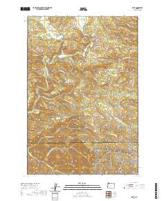 2020 Elsie2020 Print · USGSNear the border of Clatsop and Tillamook counties, this contemporary survey captures the winding Nehalem River valley and its surrounding timberlands. Researchers can locate the Sunny Hill Cemetery and trace the paths of the Quartz Creek Mainline and Lukariken Loop Rd.
 - 2020 Map of Hamlet, 2020 Print
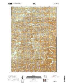 2020 Hamlet2020 Print · USGSHamlet and the surrounding Clatsop County uplands are documented here in 2020, showing a landscape shaped by the Nehalem River. Genealogists and local historians can locate early settlements like Yunkers and High Bridge or trace landmarks such as North Fork Falls and Gods Valley.
 - 2020 Map of Rogers Peak, 2020 Print
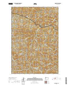 2020 Rogers Peak2020 Print · USGSThe high timber country of the Oregon Coast Range is documented here in the early twenty-first century. Researchers can trace the steep drainages and forestry access routes connecting Enright with peaks like Rogers Peak and Pinochle Peak.
 - 2020 Map of Springer Mountain, 2020 Print
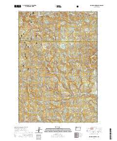 2020 Springer Mountain2020 Print · USGSYamhill and Tillamook counties meet in this high timber country during the early twenty-first century. Researchers can trace the complex drainage basins of the Nestucca River and Willamina Creek while locating landmarks like Nenamusa Falls and Niagara Point.
 - 2020 Map of Clear Creek, 2020 Print
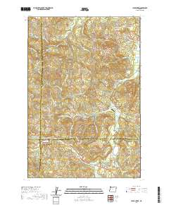 2020 Clear Creek2020 Print · USGSThis timber-rich corner of the Oregon Coast Range is documented here at a time when mountain drainage and forestry roads define the landscape. Researchers can locate the North Cem near Clear Creek or trace old logging routes like the Eastside Grade and Rock Creek Mainline.
 - 2020 Map of Cedar Butte, 2020 Print
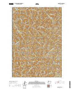 2020 Cedar Butte2020 Print · USGSTillamook County's high country is captured here in the 2020s, showing a landscape of steep timberlands and hidden river headwaters. Map collectors and hikers can trace remote forest routes like Kilchis Lookout Rd to landmarks such as Kilchis Falls and Sawtooth Ridge.
 - 2020 Map of The Peninsula, 2020 Print
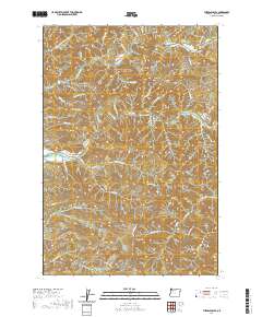 2020 The Peninsula2020 Print · USGSThe Oregon Coast Range is captured here in the early twenty-first century as it rises above the winding Wilson and Trask Rivers. Researchers can trace historic access routes like the Wilson River Toll Rd and locate landmarks such as Mills Bridge or The Blue Hole.
 - 2020 Map of Arch Cape, 2020 Print
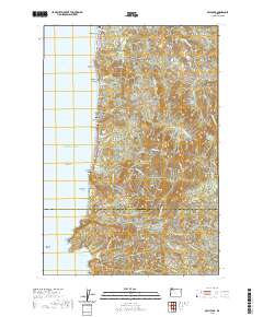 2020 Arch Cape2020 Print · USGSThe Oregon coast at the opening of the 2020s shows a landscape where high peaks meet the Pacific surf near the Clatsop and Tillamook border. Trace the coastal highway through the Arch Cape Tunnel 2247 and identify local landmarks from Silver Point to Cape Falcon.
 - 2020 Map of Jordan Creek, 2020 Print
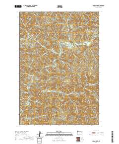 2020 Jordan Creek2020 Print · USGSCoastal Oregon mountain terrain is mapped in high detail during the early twenty-first century. Researchers can trace the drainage of the Wilson River and locate specific features like Ryan Cr Reservoir, Archer Pond, and Kings Mtn.
 - 2020 Map of Niagara Creek, 2020 Print
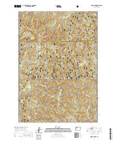 2020 Niagara Creek2020 Print · USGSThe Coast Range interior of Yamhill County is mapped here in the modern era, showing a landscape of timber and steep drainages. Researchers can locate the Pioneer Indian trail and family-named landmarks like Asinine Bridge and Niagara Falls.
 - 2020 Map of Roaring Creek, 2020 Print
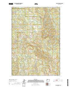 2020 Roaring Creek2020 Print · USGSThe Northern Oregon Coast Range comes into focus during this modern era of forest management and land use. Map collectors and hikers can trace historic routes like the Wilson River Wagon Road Trail or locate features like Saddle Mtn and Skunk Hollow.
 - 2020 Map of Kilchis River, 2020 Print
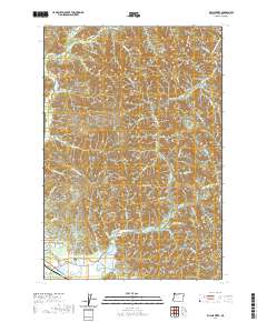 2020 Kilchis River2020 Print · USGSCoastal Tillamook County is documented here in the early twenty-first century as the landscape rises from the bay into the timbered ridges. Researchers can locate the Bay City IOOF Cem and trace old routes along the Kilchis River or Miami Foley Rd.
 - 2020 Map of Foley Peak, 2020 Print
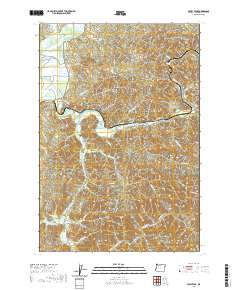 2020 Foley Peak2020 Print · USGSCoastal Tillamook County is shown in detail during the late twenty-teens, centering on the winding Nehalem River valley. Genealogists and local historians can trace family-named roads and remote river settlements like Foss, Batterson, and the riverside town of Wheeler.
 - 2020 Map of Nestucca Bay, 2020 Print
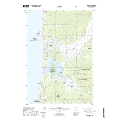 2020 Nestucca Bay2020 Print · USGSCoastal Tillamook County is captured here in the contemporary era, centered on the confluence of the Nestucca River and the sea. Researchers can locate family sites and landmarks like the IOOF Cem, the community of Oretown, and the historic Meda Bridge.
 - 2020 Map of Midway, 2020 Print
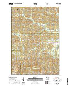 2020 Midway2020 Print · USGSThe headwaters of the Yamhill and Salmon Rivers meet at the intersection of four counties in this 2020 survey of the Oregon Coast Range. Genealogists and local historians can trace the remote settlements of Boyer and Midway or locate landmarks like Saddle Bag Mtn and Hidout Reservoir.
 - 2020 Map of Sand Lake, 2020 Print
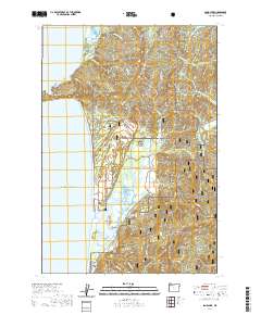 2020 Sand Lake2020 Print · USGSThe Oregon coast at the dawn of the 2020s shows a landscape of protected wilderness and small seaside communities. Researchers can trace the boundaries of the Siuslaw National Forest and locate specific coastal landmarks like Whalen Island and Tierra Del Mar.
 - 2020 Map of Netarts, 2020 Print
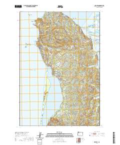 2020 Netarts2020 Print · USGSThe Oregon coastline near Netarts Bay is revealed in this recent study, detailing the relationship between the Pacific shore and the inland river deltas. Local researchers can trace coastal landmarks like Cape Meares and Three Arch Rocks alongside settlements at Oceanside and Wilson Beach.
 - 2020 Map of Woods Point, 2020 Print
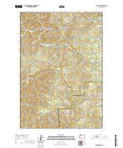 2020 Woods Point2020 Print · USGSThe high timberlands along the Tillamook and Washington County border are captured here in the contemporary era. Researchers can trace historic routes like the Wilson River Wagon Road Trail and find landmarks such as Graham Bridge and University Falls.
Showing maps 1-25 of 76
Top cities of Tillamook County
- Tillamook historical maps
- Rockaway Beach historical maps
- Bay City historical maps
- Garibaldi historical maps
- Manzanita historical maps
- Wheeler historical maps
See more
Frequently asked questions
- What are the different types of historical maps available for Tillamook County?
- What is the oldest map of Tillamook County?
- Where can I purchase historical maps of Tillamook County for my home or office?
- Where can I download high-res historical maps of Tillamook County?
- Are there historical topographic maps available for Tillamook County?
- Is there historical aerial imagery available for Tillamook County?
- Where are historical maps of Tillamook County sourced from?