2020s Maps of Beadle County, South Dakota
Explore 40 historic maps of Beadle County from the 2020s. These maps offer a rare glimpse into what life looked like during the 2020s — showing old roads, neighborhoods, homes, and landmarks that have changed or disappeared over time.
Whether you're researching your family's past, planning a metal detecting trip, or studying how Beadle County's landscape evolved across the 2020s, these high-resolution maps are a powerful tool for exploring the history of this region.
- Focus on a specific era: All maps on this page are from the 2020s, giving you a focused view of this time period.
- See what’s changed: Compare century-old streets, trails, and buildings to today's modern landscape using overlays and satellite layers.
- Research with precision: Use these maps for genealogy, historical research, land use analysis, or educational projects.
- View, download, or print: Maps are fully viewable online in high resolution, and can be downloaded or printed for your own records.
Start exploring Beadle County's history through authentic maps from the 2020s. This is your window into the past.
Beadle County, SD maps
(40)- 2021 Map of Iroquois, 2021 Print
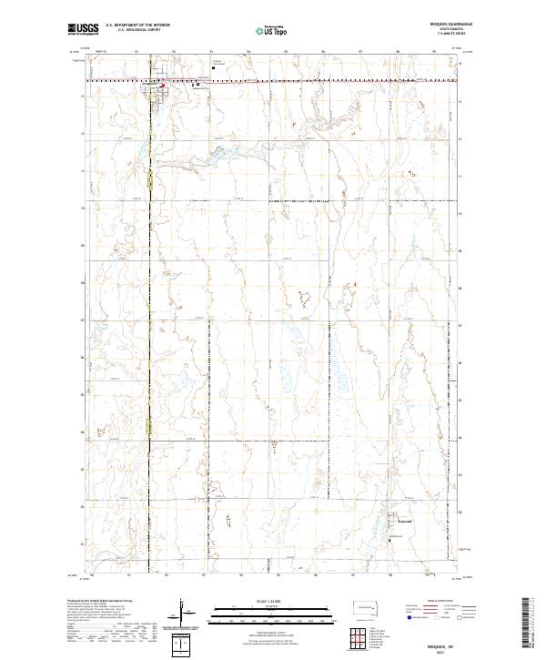 2021 Iroquois2021 Print · USGSIroquois and the surrounding prairie lands of Kingsbury and Beadle counties are shown here in the early twenty-first century. Genealogists can locate several rural burial sites including Maplewood Cem, Saint Paul's Catholic Cem, and the Esmond Cem near the southern settlement of Esmond.
 - 2021 Map of Carpenter NE, 2021 Print
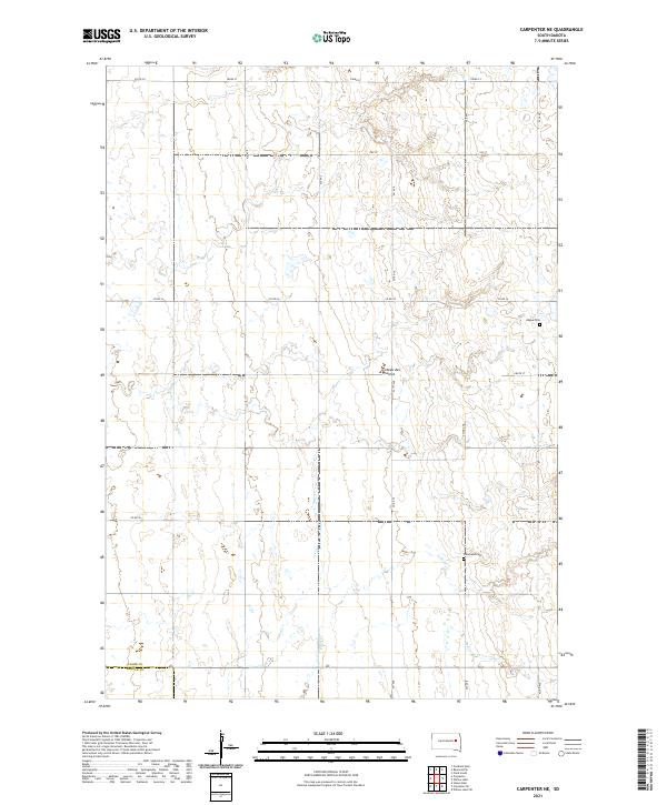 2021 Carpenter NE2021 Print · USGSEastern South Dakota’s glacial plateau is captured here in the early twenty-first century, showing the rural section-line grids of Clark and Beadle counties. Researchers can locate family heritage sites like Hague Cem and Woodland Cem along the headwaters of Shue Cr.
 - 2021 Map of Artesian NW, 2021 Print
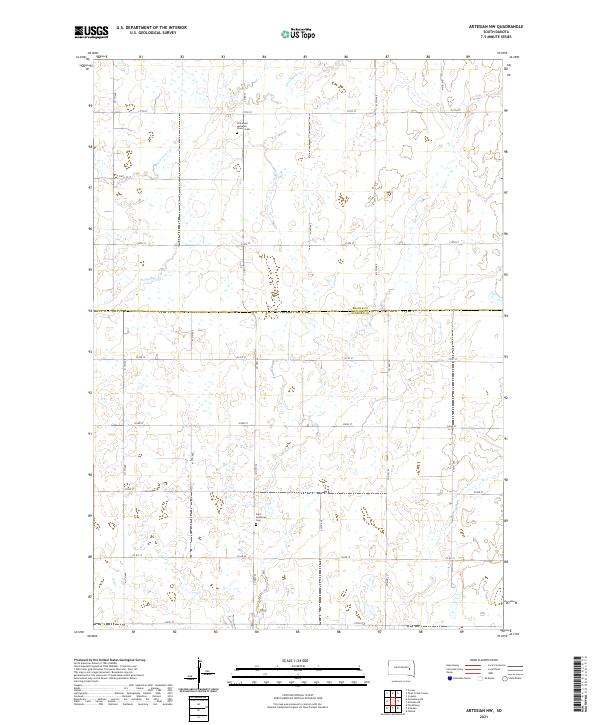 2021 Artesian NW2021 Print · USGSThe border of Beadle and Sanborn counties comes into focus in this recent survey of the South Dakota prairie. Genealogists and local historians can pinpoint long-standing community sites such as Immanuel Lutheran Church Cem and Saint Anthony's Cem.
 - 2021 Map of Yale, 2021 Print
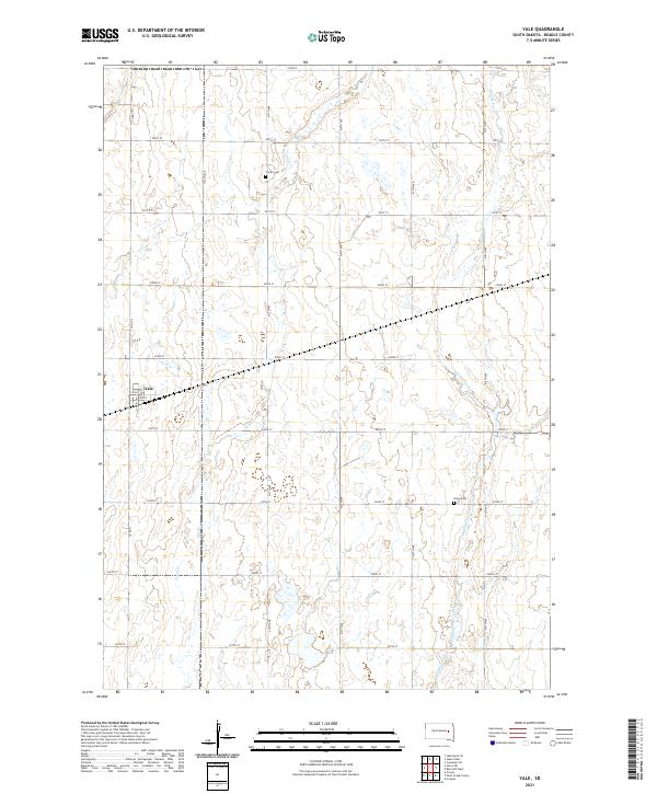 2021 Yale2021 Print · USGSThe Beadle County prairie surrounding Yale is captured here in the early twenty-first century, showcasing the region's enduring agricultural layout. Genealogists and local historians can locate Trinity Cem and Dixon Cem along the quiet section roads.
 - 2021 Map of Carpenter SE, 2021 Print
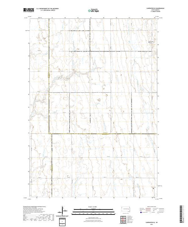 2021 Carpenter SE2021 Print · USGSEastern South Dakota's agricultural heartland is documented here in the early twenty-first century, where Beadle, Clark, and Kingsbury counties converge. Genealogists can locate LeSueur Cem and trace the drainage of Pearl Cr and Redstone Cr.
 - 2021 Map of Lake Byron NW, 2021 Print
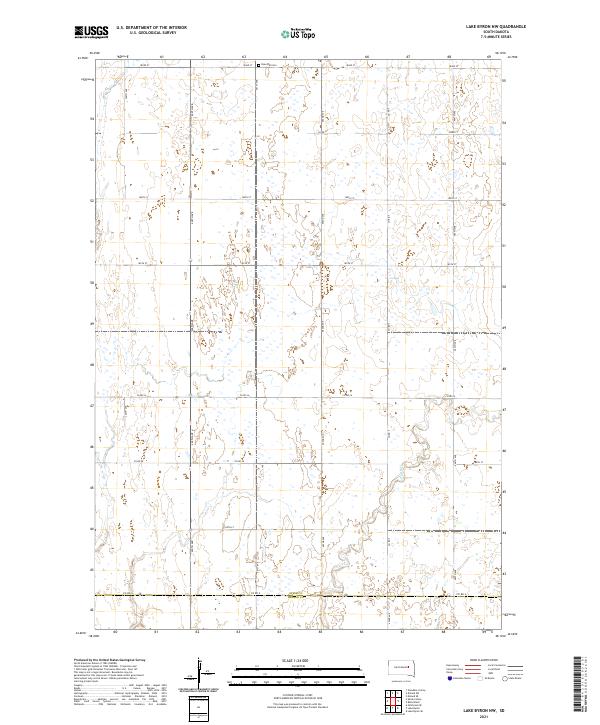 2021 Lake Byron NW2021 Print · USGSThe agricultural plains of Spink and Beadle counties are captured here in the early 2020s, showing a landscape defined by prairie wetlands and section-line roads. Genealogists and local historians can locate Rose Hill Cem or trace the path of Foster Cr as it flows toward the county line.
 - 2021 Map of Pearl Creek Colony, 2021 Print
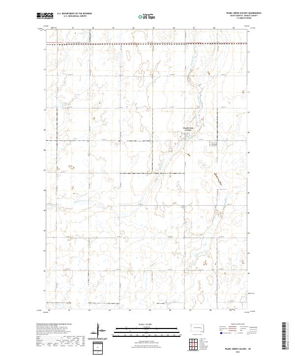 2021 Pearl Creek Colony2021 Print · USGSThe rural prairie of Beadle County comes into focus in this recent survey of communal and agricultural life. Researchers can trace the layout of Pearl Creek Colony and the local waterways of Middle Pearl Cr and S Fork Pearl Cr.
 - 2021 Map of Wessington Springs NE, 2021 Print
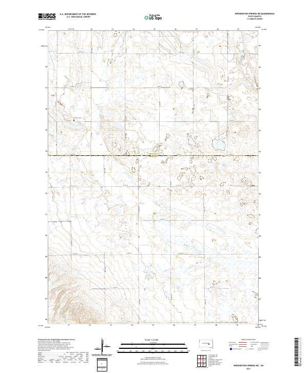 2021 Wessington Springs NE2021 Print · USGSThe prairie wetlands of Jerauld and Beadle Counties are captured here in the early 2020s, showing a landscape defined by glacial potholes and section-line roads. Genealogists and local historians can locate Earlville Cem and trace the drainage of Firesteel Cr and Sand Creek.
 - 2021 Map of Wessington Springs NW, 2021 Print
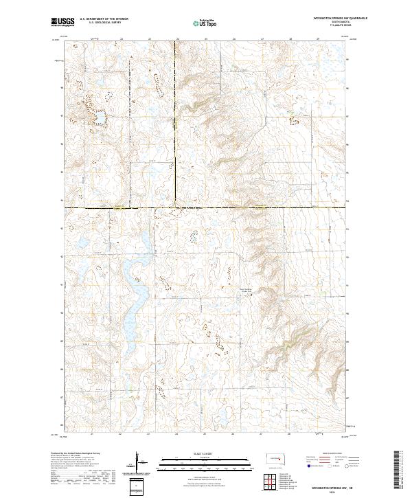 2021 Wessington Springs NW2021 Print · USGSThe rural prairie borders of Jerauld, Hand, and Beadle counties are captured here in the early twenty-first century. Genealogists and local historians can locate Chery Township Pioneer Cem and trace the drainage of Smith Cr through the township grid.
 - 2021 Map of Spink Colony, 2021 Print
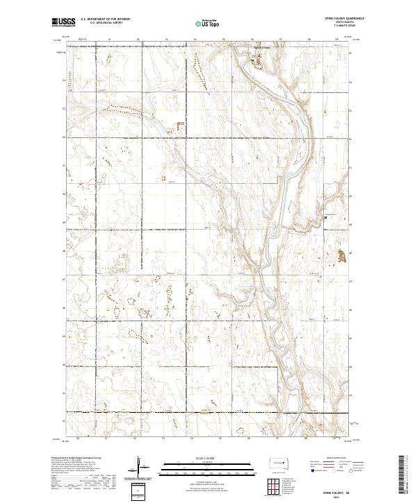 2021 Spink Colony2021 Print · USGSSpink County and the northern edge of Beadle County are captured here during a period of modern rural stability. Researchers can trace land ties and local heritage through the Spink Colony settlement, Spink Colony Cem, and the meandering James River.
 - 2021 Map of Forestburg NW, 2021 Print
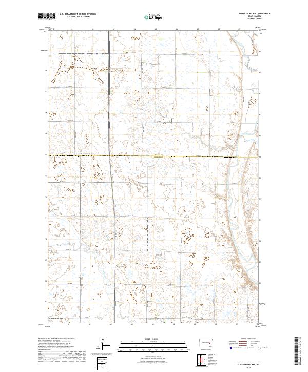 2021 Forestburg NW2021 Print · USGSSanborn and Beadle Counties appear in this contemporary survey of the eastern South Dakota prairie. Researchers can locate the Aquilla Cem and trace the meandering courses of the James River and Sand Cr through the agricultural grid.
 - 2021 Map of Huron NE, 2021 Print
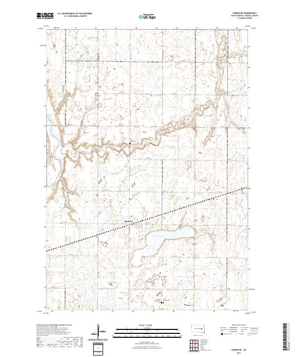 2021 Huron NE2021 Print · USGSBeadle County settlements and prairie waterways are meticulously detailed in this recent look at central South Dakota. Family historians can trace local roots through landmarks like Saint Patrick Cem, Shue Creek Cem, and the small community of Sheffield.
 - 2021 Map of Wessington SW, 2021 Print
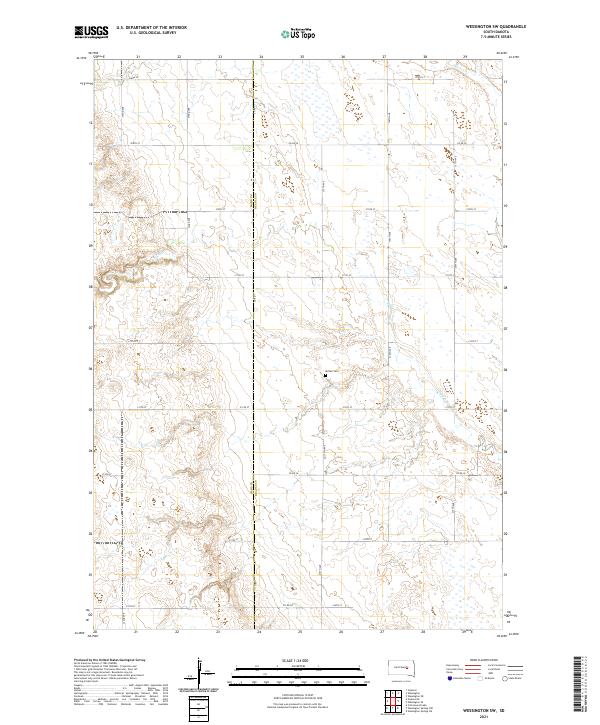 2021 Wessington SW2021 Print · USGSBeadle and Hand County farmers maintained a sprawling grid of section-line roads in the early 2020s. Genealogists can locate the McNair Cemetery and trace the paths of Sand Creek and Silver Creek as they meander across the plains.
 - 2021 Map of Hitchcock, 2021 Print
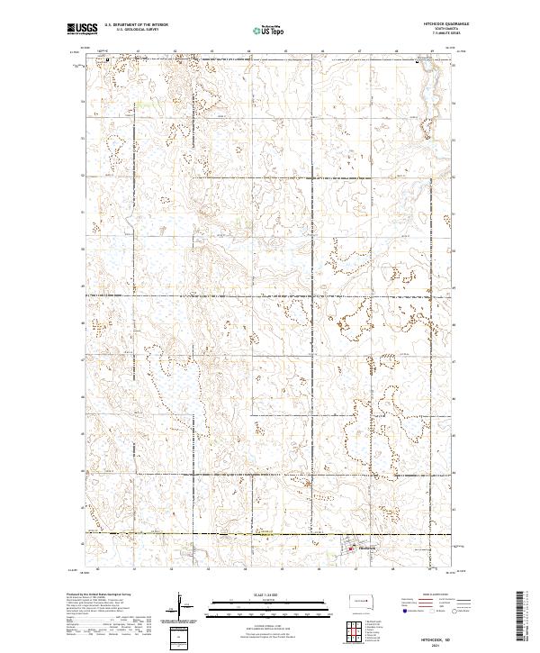 2021 Hitchcock2021 Print · USGSThe town of Hitchcock and the surrounding agricultural plains of the South Dakota prairie are captured here in the early twenty-first century. Genealogists can locate Tulare Cem and Graceland Cem while tracing the Spink and Beadle County line.
 - 2021 Map of Tulare SW, 2021 Print
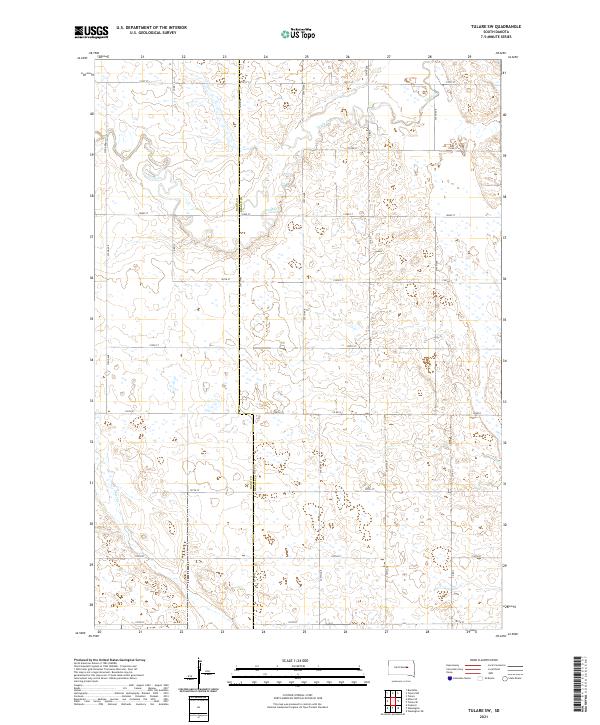 2021 Tulare SW2021 Print · USGSBeadle County at the start of the 2020s remains a landscape of precise section lines and prairie drainages. Genealogists and researchers can trace local routes like Co Rd 12 and Co Rd 8 as they cross Turtle Cr and Pearl Cr.
 - 2021 Map of Forestburg NE, 2021 Print
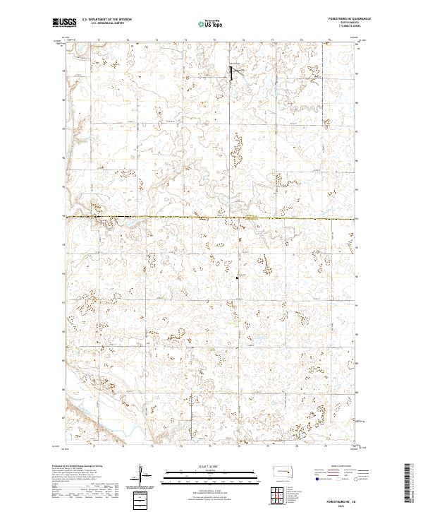 2021 Forestburg NE2021 Print · USGSSanborn and Beadle counties are mapped in the early 2020s, showing a traditional prairie landscape carved by the James River. Genealogists and local historians can locate the Bonny Cemetery and trace watercourses like Marsh Creek and Stony Run.
 - 2021 Map of Virgil, 2021 Print
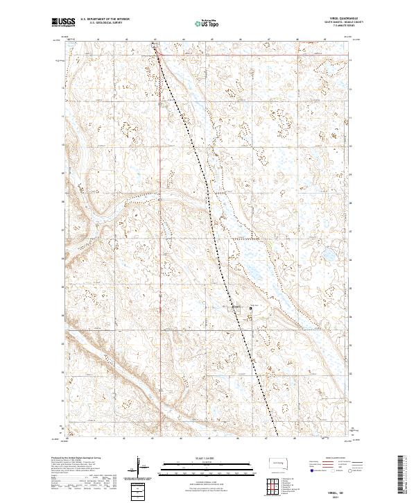 2021 Virgil2021 Print · USGSThe Beadle County prairie surrounding Virgil is captured here during the early twenty-first century, showing the enduring grid of the American Heartland. Genealogists and local historians can locate the Virgil Cem and trace the path of Cain Creek through the surrounding townships.
 - 2021 Map of Wessington, 2021 Print
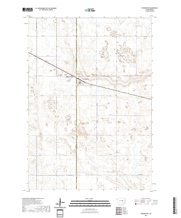 2021 Wessington2021 Print · USGSWessington and the surrounding prairie are captured here at the start of the 2020s, revealing the enduring structure of the Beadle County landscape. Genealogists and researchers can pinpoint specific local landmarks like Wessington Cem and Saint Josephs Catholic Cem.
 - 2021 Map of Cavour, 2021 Print
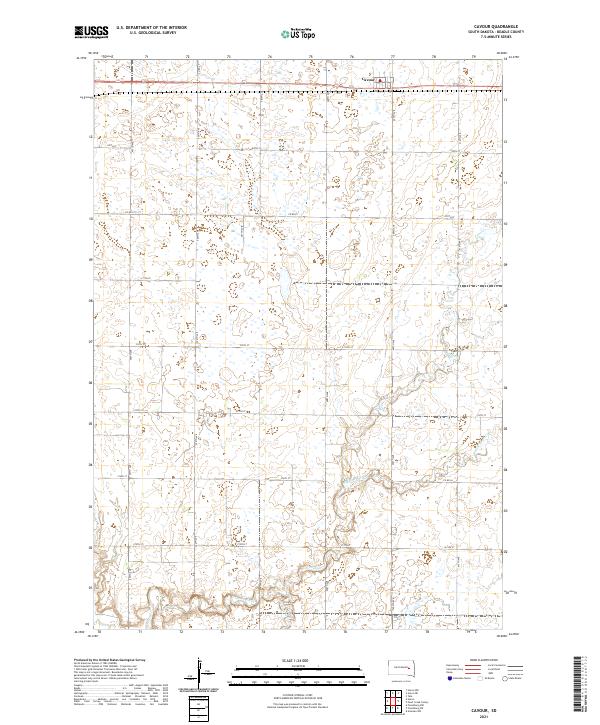 2021 Cavour2021 Print · USGSIn the open prairies of Beadle County, this recent survey captures the quiet agricultural heart of South Dakota. Genealogists and local historians can trace the rural road grid around Cavour and follow the natural meanders of Pearl Cr and Middle Pearl Cr.
 - 2021 Map of Lake Byron, 2021 Print
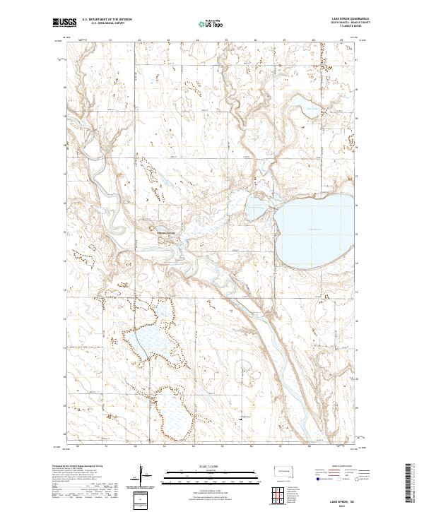 2021 Lake Byron2021 Print · USGSBeadle County farmland meets the winding James River and the shores of Lake Byron in this recent survey. Local researchers can trace the communal layout of Huron Colony or locate the historic Atfield Cem along the grid of rural section roads.
 - 2021 Map of Wessington SE, 2021 Print
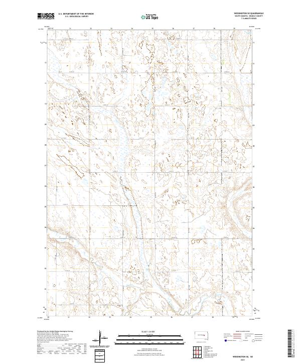 2021 Wessington SE2021 Print · USGSBeadle County's agricultural grid is captured here during the early 2020s, revealing how local hydrology still shapes the prairie. Researchers can trace the meandering paths of Silver Cr and Sand Creek as they intersect with long-established routes like Co Rd 26.
 - 2021 Map of Tulare NW, 2021 Print
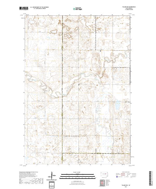 2021 Tulare NW2021 Print · USGSThe rural intersection of Hand, Spink, and Beadle counties is captured here in the early twenty-first century. Genealogists and local historians can locate Saint John's Cem and Buffalo Cem tucked among the drainages of Turtle Creek.
 - 2021 Map of Wessington NE, 2021 Print
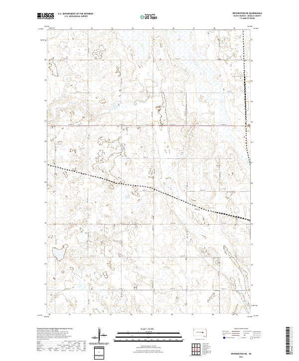 2021 Wessington NE2021 Print · USGSBeadle County's agricultural heartland is documented here in the early twenty-first century, showing the persistent section-line grid and natural prairie wetlands. Genealogists and land researchers can trace property locations along Cain Creek and identify local landmarks like Bracken Slough or Norwegian Slough.
 - 2021 Map of Tulare, 2021 Print
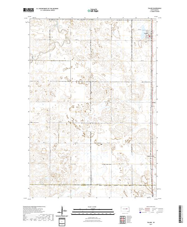 2021 Tulare2021 Print · USGSSpink County agriculture and the prairie landscape of eastern South Dakota are documented in this recent survey. Local historians and genealogists can trace the rural infrastructure around Tulare and locate the Garfield Cem and the settlement of Spottswood.
 - 2021 Map of Lake Byron SE, 2021 Print
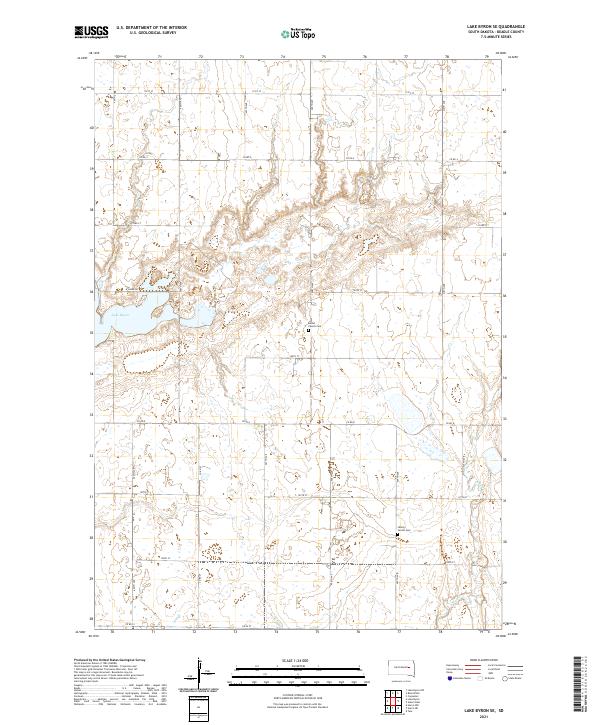 2021 Lake Byron SE2021 Print · USGSBeadle County's rural landscape is captured here in the early twenty-first century, showcasing the persistent agricultural patterns of the South Dakota prairie. Genealogists can locate family ties at Bethel Church Cem or Liberty Center Cem near Shue Cr.
Showing maps 1-25 of 40
Top cities of Beadle County
- Huron historical maps
- Wolsey historical maps
- Wessington historical maps
- Cavour historical maps
- Yale historical maps
- Hitchcock historical maps
See more
Frequently asked questions
- What are the different types of historical maps available for Beadle County?
- What is the oldest map of Beadle County?
- Where can I purchase historical maps of Beadle County for my home or office?
- Where can I download high-res historical maps of Beadle County?
- Are there historical topographic maps available for Beadle County?
- Is there historical aerial imagery available for Beadle County?
- Where are historical maps of Beadle County sourced from?