2020s Maps of Day County, South Dakota
Explore 28 historic maps of Day County from the 2020s. These maps offer a rare glimpse into what life looked like during the 2020s — showing old roads, neighborhoods, homes, and landmarks that have changed or disappeared over time.
Whether you're researching your family's past, planning a metal detecting trip, or studying how Day County's landscape evolved across the 2020s, these high-resolution maps are a powerful tool for exploring the history of this region.
- Focus on a specific era: All maps on this page are from the 2020s, giving you a focused view of this time period.
- See what’s changed: Compare century-old streets, trails, and buildings to today's modern landscape using overlays and satellite layers.
- Research with precision: Use these maps for genealogy, historical research, land use analysis, or educational projects.
- View, download, or print: Maps are fully viewable online in high resolution, and can be downloaded or printed for your own records.
Start exploring Day County's history through authentic maps from the 2020s. This is your window into the past.
Day County, SD maps
(28)- 2021 Map of Swan Lake, 2021 Print
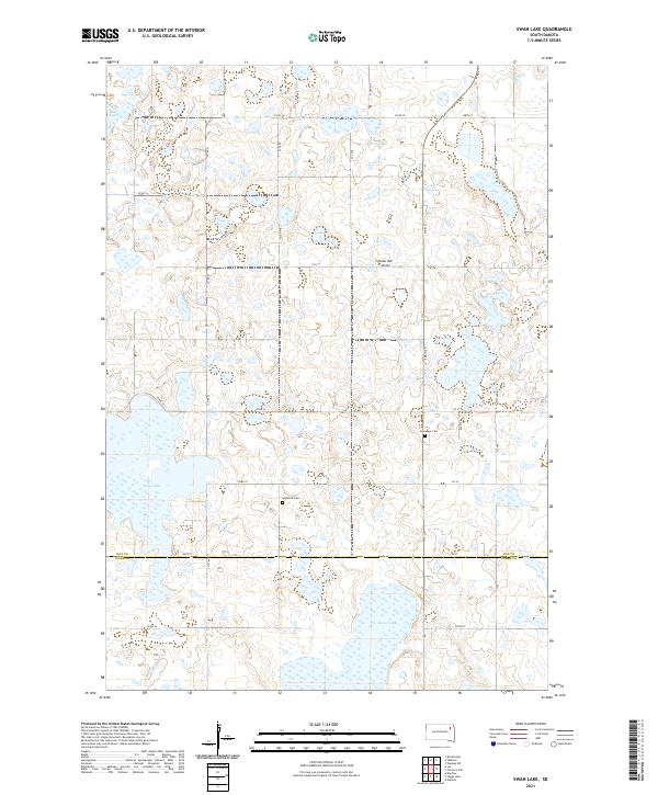 2021 Swan Lake2021 Print · USGSThe glacial wetlands of the Coteau des Prairies are captured here in the early twenty-first century. Genealogists and local historians can trace the rural grid between Swan Lake and Mud Lake, identifying local landmarks like Highland Cem and Hosanger Cem.
 - 2021 Map of Langford, 2021 Print
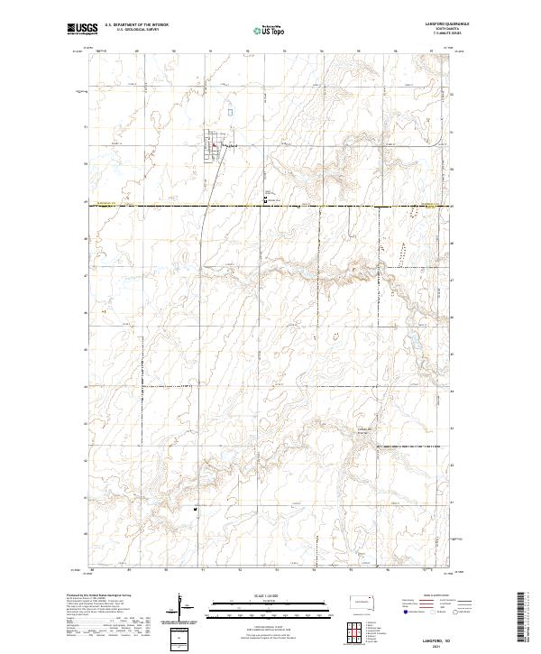 2021 Langford2021 Print · USGSNorthern South Dakota farming life is captured here in the early twenty-first century. Genealogists can locate Langford and several rural burying grounds like Saint Peter Cem and Homer Cem among the wetlands.
 - 2021 Map of Florence NE, 2021 Print
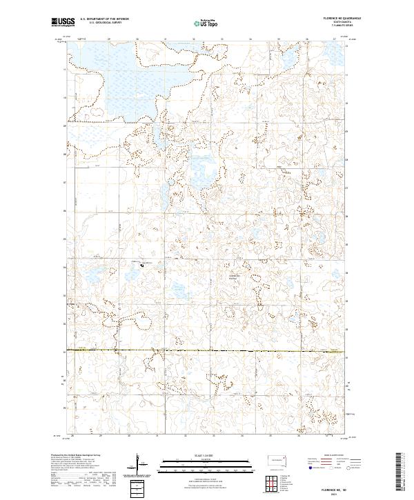 2021 Florence NE2021 Print · USGSDay County prairie lands are captured here in the early twenty-first century, showcasing a landscape defined by glacial hydrology. Local researchers can trace the shorelines of Bitter Lake and Goose Lake or locate the rural crossroads at Co Rd 30.
 - 2021 Map of Piyas Lake, 2021 Print
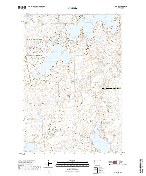 2021 Piyas Lake2021 Print · USGSGlacial lakes and rural section lines define the Marshall and Day County border in the early twenty-first century. Genealogists and local researchers can locate the Buffalo Lake Cem and trace property boundaries near Piyas Lake and Pickerel Lake.
 - 2021 Map of Bristol West, 2021 Print
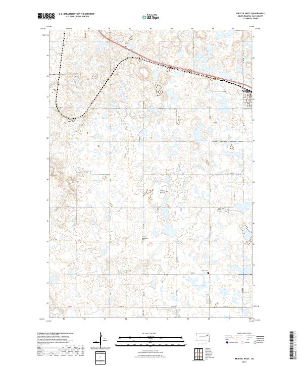 2021 Bristol West2021 Print · USGSThe high glacial plateau of the Coteau des Prairies defines this Day County landscape in the early 2020s. Genealogists can locate rural burial sites like Bethany Evangelical Cem and Sjurson Cem or trace the early growth of Bristol.
 - 2021 Map of Stangland Slough, 2021 Print
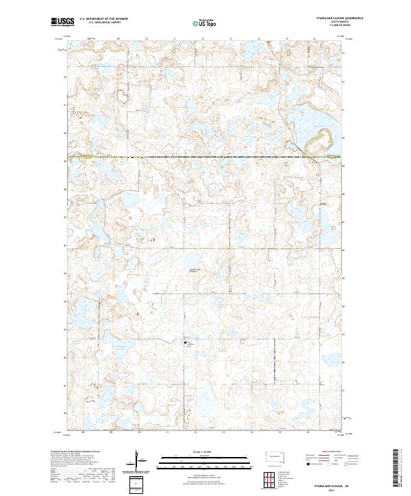 2021 Stangland Slough2021 Print · USGSThe glacial wetlands of Day and Marshall counties are captured here in the early twenty-first century. Genealogists and local historians can locate the Fron Lutheran Cem and trace rural routes like Rose Hill Rd near Stangland Slough.
 - 2021 Map of Lone Tree Lake, 2021 Print
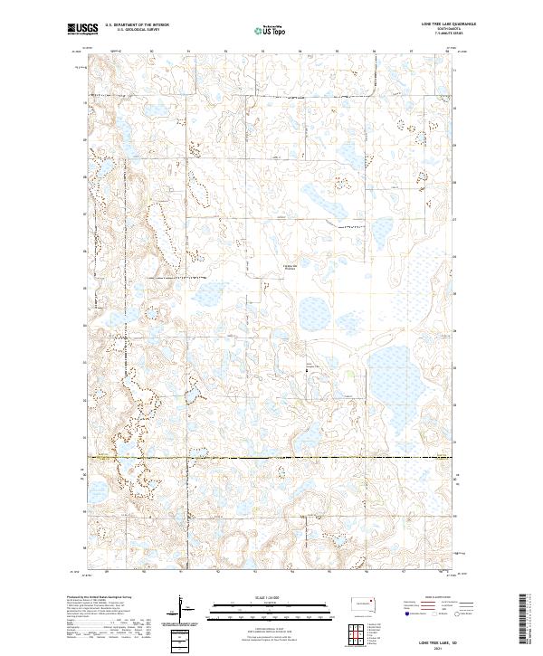 2021 Lone Tree Lake2021 Print · USGSThe glacial plateau of the South Dakota prairie is captured here in the early twenty-first century, spanning the border of Day and Clark counties. Local historians can trace the rural landscape around Lone Tree Lake and the grounds of Saint Ansgaar Cem.
 - 2021 Map of Drywood Lakes, 2021 Print
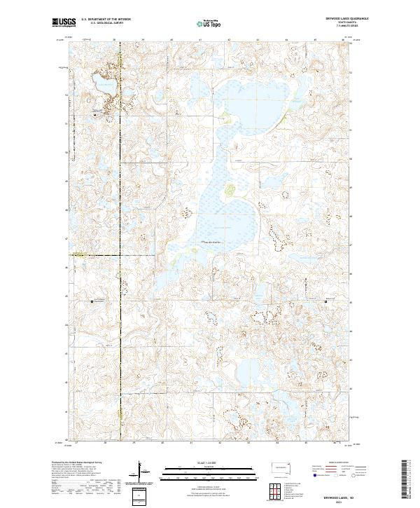 2021 Drywood Lakes2021 Print · USGSThe Coteau des Prairies plateau in the early twenty-first century remains a landscape of glacial lakes and pioneer-era landmarks. Genealogists can trace family history at the Buffalo Lake Lutheran Cem, Bethel Cem, and Zoar Lutheran Church Cem.
 - 2021 Map of Lonesome Lake, 2021 Print
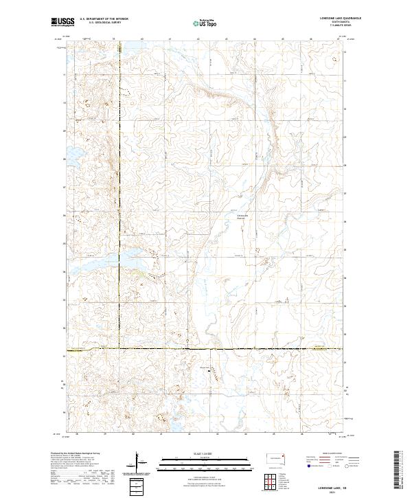 2021 Lonesome Lake2021 Print · USGSThe high prairie plateau of Grant and Codington counties is captured here in the early twenty-first century. Researchers can locate the Bergen Cem and trace the hydrology of Lonesome Lake and the Big Sioux River across this agricultural landscape.
 - 2021 Map of Waubay SW, 2021 Print
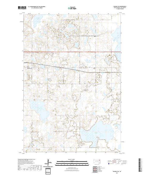 2021 Waubay SW2021 Print · USGSThe glacial lakes of Day County define this prairie landscape as it appeared in the early 2020s. Genealogists and local historians can trace burial sites at Old Saint Otto's Cem and Salem Cem, or locate the historic Zoar Lutheran church.
 - 2021 Map of Enemy Swim Lake West, 2021 Print
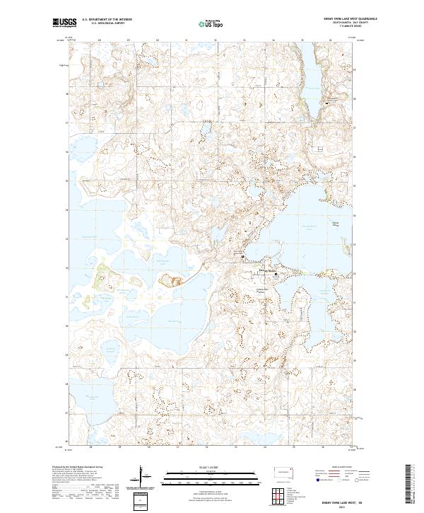 2021 Enemy Swim Lake West2021 Print · USGSThe glacial lakes of Day County are captured here in the early twenty-first century, showing a landscape defined by water and heritage. Genealogists and local historians can locate the Blue Dog Grave, Saint James Indian Cem, and the irregular shores of Enemy Swim Lake.
 - 2021 Map of Andover SW, 2021 Print
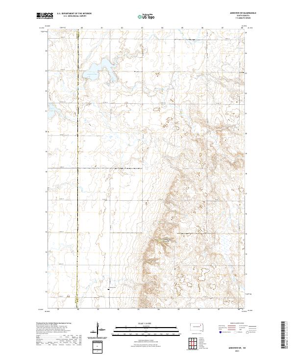 2021 Andover SW2021 Print · USGSThe glacial plateau of the Coteau des Prairies meets the Brown and Day county lines in this rural South Dakota survey. Researchers can trace family history at Scotland Cem or study the shorelines of Amsden Lake and Pigors Lake.
 - 2021 Map of Langford SW, 2021 Print
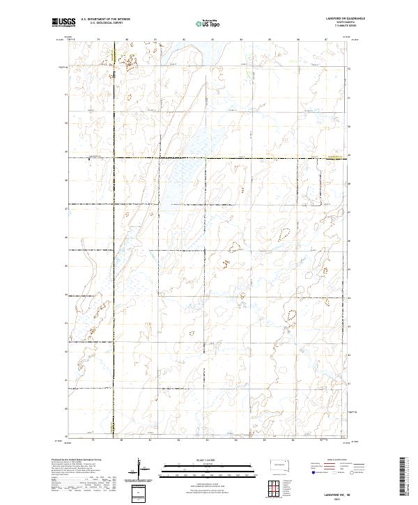 2021 Langford SW2021 Print · USGSNorthern South Dakota prairie and wetlands are mapped here in the early 2020s where Brown, Marshall, and Day counties meet. Genealogists and local historians can locate Augustana Cem and trace the seasonal path of Antelope Cr across the rural grid.
 - 2021 Map of Andover, 2021 Print
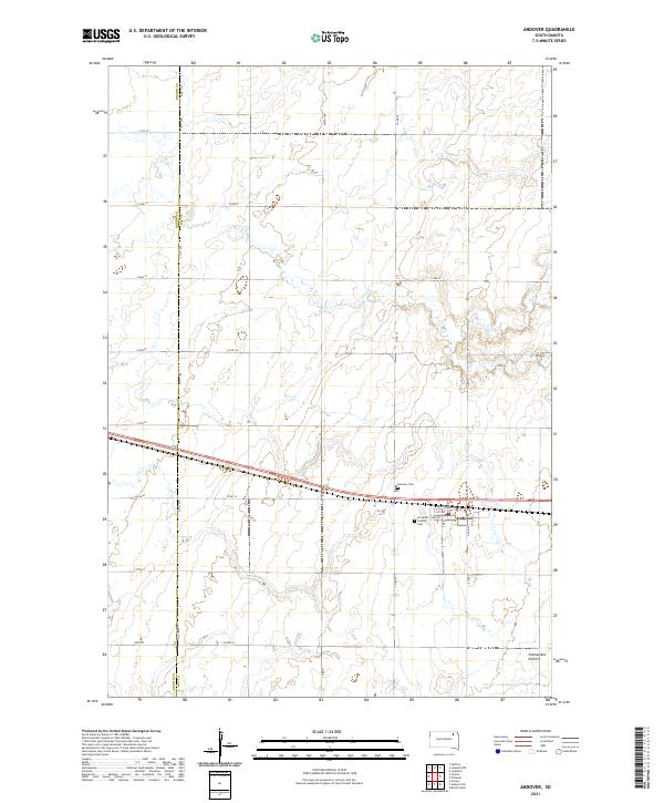 2021 Andover2021 Print · USGSAndover and the glaciated heights of the eastern plains are captured here in the early twenty-first century. Genealogists and local historians can trace family plots at Andover Cem or follow the township grid along the Brown Co Day Co line.
 - 2021 Map of Lily, 2021 Print
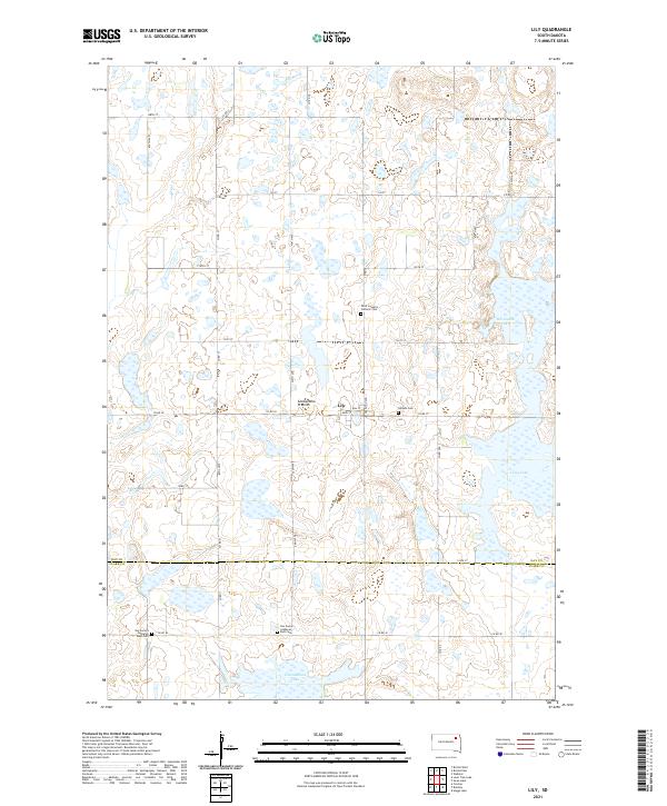 2021 Lily2021 Print · USGSDay County and Clark County meet in this modern survey of a quiet agricultural corner of South Dakota. Genealogists can trace family connections at Hillside Cem, Saint Joseph's Catholic Cem, and the dual grounds of Our Saviors Lutheran West Cem near Lily.
 - 2021 Map of Webster, 2021 Print
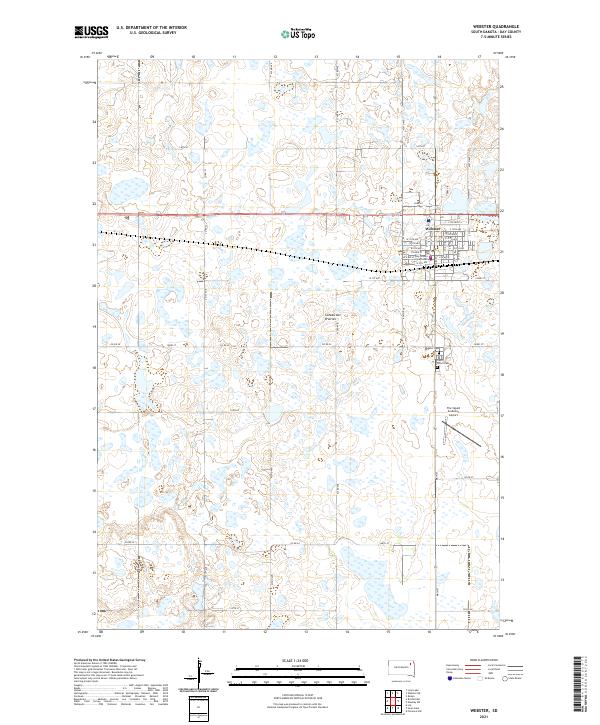 2021 Webster2021 Print · USGSWebster and the surrounding glaciated plateau are shown in fine detail in the early 2020s. Researchers can locate the Day County Courthouse, trace family roots at Saint Ottos Cem, and see the layout of The Sigurd Anderson Airport south of town.
 - 2021 Map of Crandall, 2021 Print
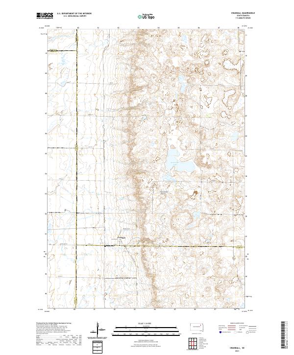 2021 Crandall2021 Print · USGSDay County and the surrounding prairie lands are captured here during the early twenty-first century. Researchers can trace the layout of Crandall and locate the Crandall Cem or the waters of Sweetwater Lake along the glacial Coteau des Prairies.
 - 2021 Map of Bristol East, 2021 Print
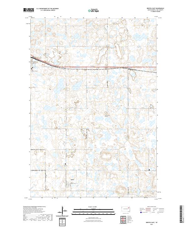 2021 Bristol East2021 Print · USGSThe glacial plateau of Day County is shown here in the 2020s, featuring a landscape dotted with wetlands. Researchers can trace local history through Bristol, Butler, and several sites like Prairie Mound Cem and Ebenezer Cem.
 - 2021 Map of Pierpont, 2021 Print
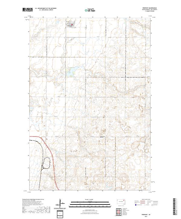 2021 Pierpont2021 Print · USGSPierpont sits atop the high plateau of Day County during the early 2020s, showing the intersection of rural town life and the glacial prairie landscape. Genealogists and local historians can trace the town's modern street grid including 4th St and the nearby Pierpont Lake.
 - 2021 Map of Lynn Lake, 2021 Print
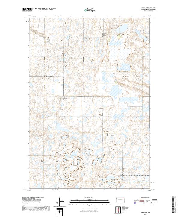 2021 Lynn Lake2021 Print · USGSThe high glacial plateau of Day County is captured here in the early twenty-first century, showcasing a landscape of prairie potholes and section-line roads. Genealogists can trace local heritage through sites like Skudesnes Lutheran Church Cem, Bergen Cem, and New Sweden Cem.
 - 2021 Map of Enemy Swim Lake East, 2021 Print
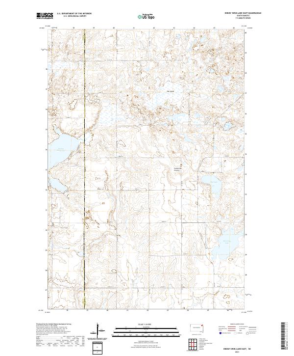 2021 Enemy Swim Lake East2021 Print · USGSThe glacial landscape of Roberts and Day Counties is mapped here in the early twenty-first century. Researchers can trace lakeshore developments at Enemy Swim Lake or explore the prairie heights of the Coteau des Prairies and Oak Island.
 - 2021 Map of Eden, 2021 Print
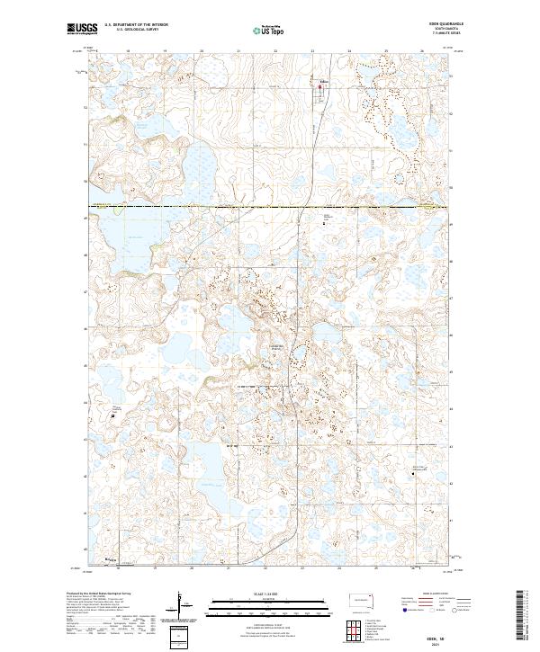 2021 Eden2021 Print · USGSNortheastern South Dakota's glacial landscape is meticulously detailed here, showing the rural communities of Eden and Roslyn in the early 2020s. Researchers can trace family roots through landmarks like Saint Michael's Cem, German Lutheran Cem, and Hazelden Lake.
 - 2021 Map of Florence NW, 2021 Print
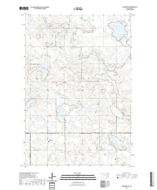 2021 Florence NW2021 Print · USGSNortheastern South Dakota's glacial landscape is documented here in the early twenty-first century where Day, Clark, and Codington counties intersect. Genealogists and local historians can locate early burial sites including Saint Pauli Lutheran Cem and Goodhue Cem set against the Coteau des Prairies.
 - 2021 Map of Webster NE, 2021 Print
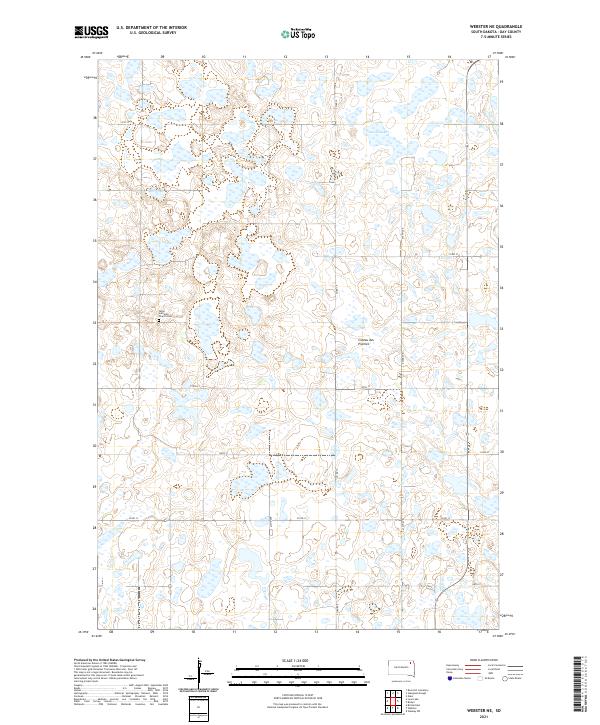 2021 Webster NE2021 Print · USGSThe glacial wetlands of the South Dakota plateau are captured here in the early twenty-first century. Genealogists and local historians can locate the Tabor Lutheran Church Cem and trace the drainage patterns surrounding Goose Lake.
 - 2021 Map of Roslyn, 2021 Print
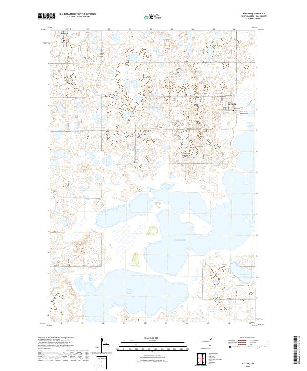 2021 Roslyn2021 Print · USGSDay County settlements and glacial lakes are the focus of this recent survey of the Coteau des Prairies. Researchers can trace local heritage sites like the Roslyn Lutheran Cem and Saint Joseph Catholic Cem near Grenville.
Showing maps 1-25 of 28
Top cities of Day County
- Webster historical maps
- Waubay historical maps
- Bristol historical maps
- Roslyn historical maps
- Pierpont historical maps
- Andover historical maps
See more
Frequently asked questions
- What are the different types of historical maps available for Day County?
- What is the oldest map of Day County?
- Where can I purchase historical maps of Day County for my home or office?
- Where can I download high-res historical maps of Day County?
- Are there historical topographic maps available for Day County?
- Is there historical aerial imagery available for Day County?
- Where are historical maps of Day County sourced from?