2000s (21st Century) Maps of District 6, South Dakota
Explore 124 historic maps of District 6 from the 2000s (21st Century). These maps offer a rare glimpse into what life looked like during the 2000s — showing old roads, neighborhoods, homes, and landmarks that have changed or disappeared over time.
Whether you're researching your family's past, planning a metal detecting trip, or studying how District 6's landscape evolved across the 2000s, these high-resolution maps are a powerful tool for exploring the history of this region.
- Focus on a specific era: All maps on this page are from the 2000s, giving you a focused view of this time period.
- See what’s changed: Compare century-old streets, trails, and buildings to today's modern landscape using overlays and satellite layers.
- Research with precision: Use these maps for genealogy, historical research, land use analysis, or educational projects.
- View, download, or print: Maps are fully viewable online in high resolution, and can be downloaded or printed for your own records.
Start exploring District 6's history through authentic maps from the 2000s. This is your window into the past.
District 6, SD maps
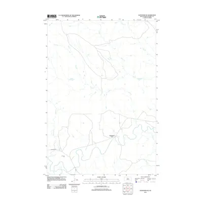
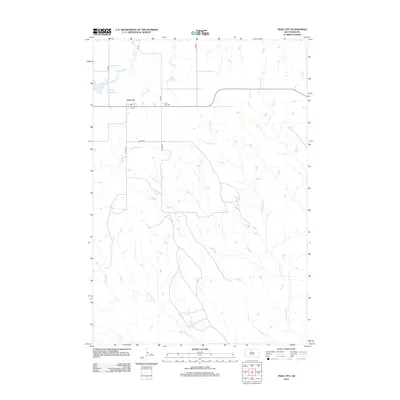
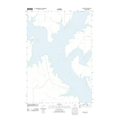
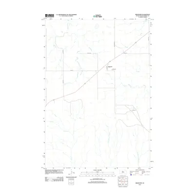
(124)- 2012 Map of Glencross NE, 2012 Print
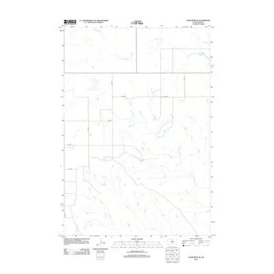 2012 Glencross NE2012 Print · USGSCovers District 6, including Little Eagle, District 4, and other nearby areas
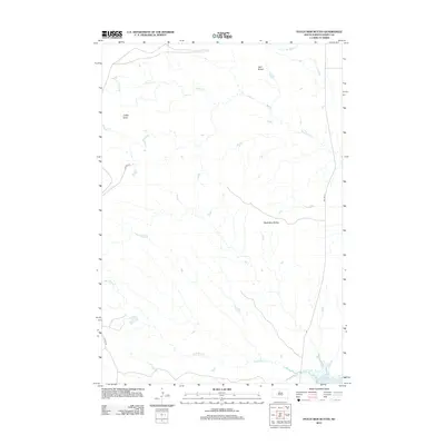
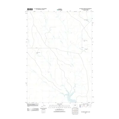
 - 2012 Map of Trail City SW, 2012 Print
 2012 Trail City SW2012 Print · USGSCovers District 6, including Dewey County, United States, and other nearby areas
 - 2012 Map of Patch Skin Buttes SW, 2012 Print
 2012 Patch Skin Buttes SW2012 Print · USGSCovers District 6, including Marksville, Potter County, and other nearby areas
 - 2012 Map of Glencross SE, 2012 Print
 2012 Glencross SE2012 Print · USGSCovers District 6, including Yellowhorse Ford, District 4, and other nearby areas
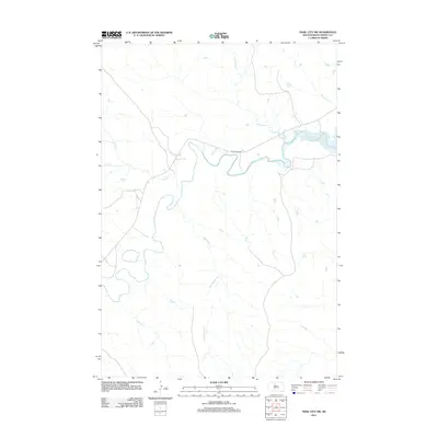
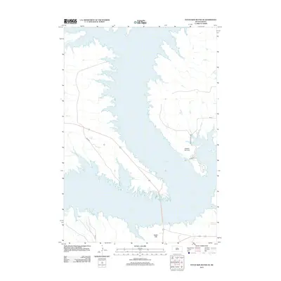
 - 2012 Map of Trail City, 2012 Print
 2012 Trail City2012 Print · USGSCovers District 6, including Wakpala, Trail City, and other nearby areas
 - 2012 Map of Patch Skin Buttes, 2012 Print
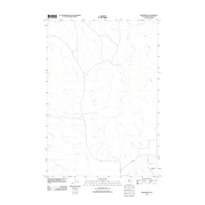
 2012 Patch Skin Buttes2012 Print · USGSCovers District 6, including Dewey County, United States, and other nearby areas
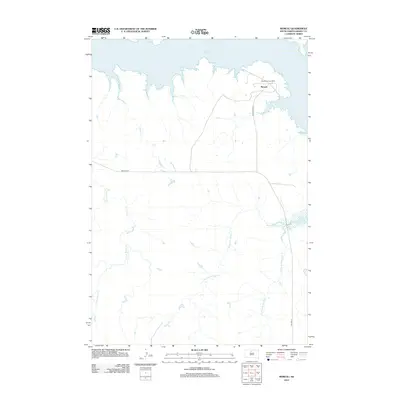
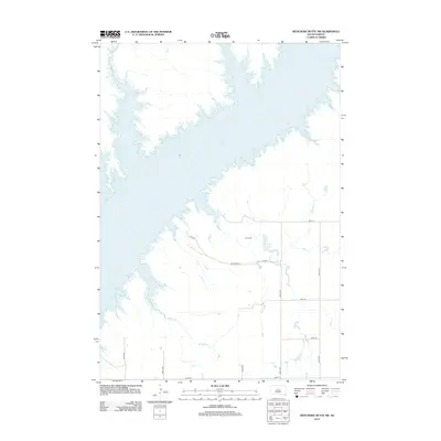
 - 2012 Map of Moreau NW, 2012 Print
 2012 Moreau NW2012 Print · USGSCovers District 6, including Wakpala, Corson County, and other nearby areas
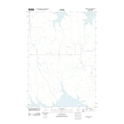
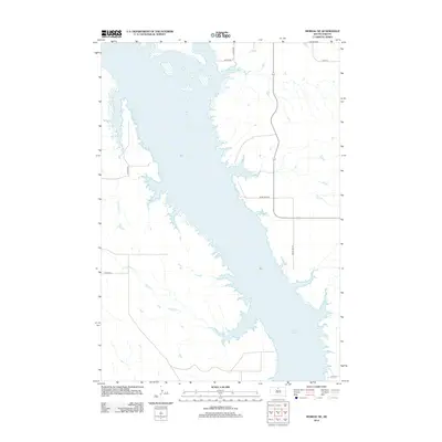
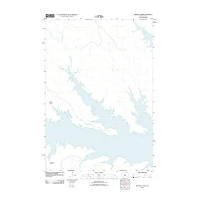
 - 2012 Map of Moreau, 2012 Print
 2012 Moreau2012 Print · USGSCovers District 6, including Moreau, Dewey County, and other nearby areas
 - 2012 Map of Moreau SE, 2012 Print
 2012 Moreau SE2012 Print · USGSCovers District 6, including Dewey County, Walworth County, and other nearby areas
 - 2012 Map of Promise, 2012 Print
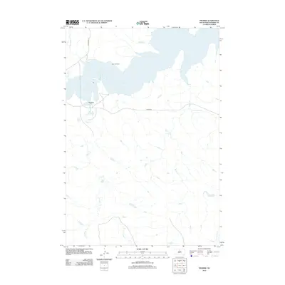 2012 Promise2012 Print · USGSCovers District 6, including Promise, Dewey County, and other nearby areas
 - 2012 Map of Virginia, 2012 Print
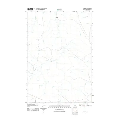 2012 Virginia2012 Print · USGSCovers District 6, including Virginia, Dewey County, and other nearby areas
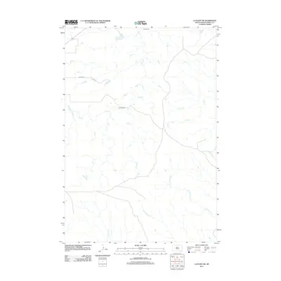
 - 2012 Map of Laundreaux Butte, 2012 Print
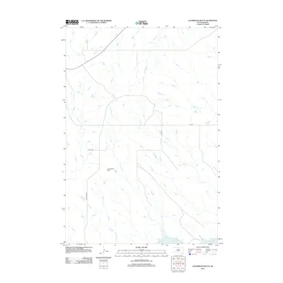 2012 Laundreaux Butte2012 Print · USGSCovers District 6, including Wakpala, Corson County, and other nearby areas
 - 2012 Map of Patch Skin Buttes SE, 2012 Print
 2012 Patch Skin Buttes SE2012 Print · USGSCovers District 6, including Forest City, Swift Bird, and other nearby areas
 - 2012 Map of La Plant SW, 2012 Print
 2012 La Plant SW2012 Print · USGSCovers District 6, including Dewey County, United States, and other nearby areas
 - 2012 Map of Moreau NE, 2012 Print
 2012 Moreau NE2012 Print · USGSCovers District 6, including Wakpala, Corson County, and other nearby areas
 - 2012 Map of Ridgeview NE, 2012 Print
 2012 Ridgeview NE2012 Print · USGSCovers District 6, including District 4, Dewey County, and other nearby areas
 - 2012 Map of Ridgeview, 2012 Print
 2012 Ridgeview2012 Print · USGSCovers District 6, including Ridgeview, District 4, and other nearby areas
 - 2012 Map of No Heart Creek NE, 2012 Print
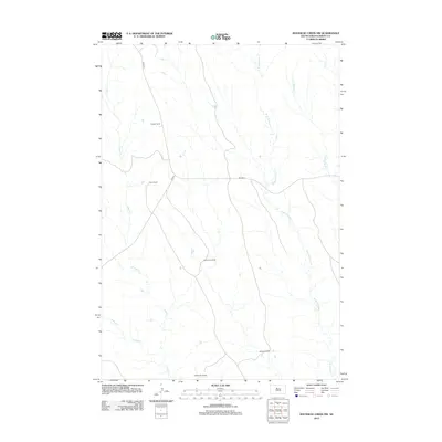
 2012 No Heart Creek NE2012 Print · USGSCovers District 6, including Dewey County, United States, and other nearby areas
 - 2012 Map of No Heart Creek, 2012 Print
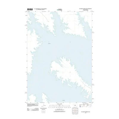
 2012 No Heart Creek2012 Print · USGSCovers District 6, including Dewey County, United States, and other nearby areas
 - 2012 Map of Artichoke Butte SW, 2012 Print
 2012 Artichoke Butte SW2012 Print · USGSCovers District 6, including Sully County, Dewey County, and other nearby areas
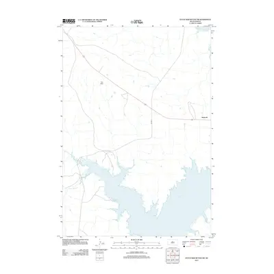
 - 2012 Map of Rousseau Creek, 2012 Print
 2012 Rousseau Creek2012 Print · USGSCovers District 6, including Stanley County, Dewey County, and other nearby areas
 - 2012 Map of Rousseau Creek NW, 2012 Print
 2012 Rousseau Creek NW2012 Print · USGSCovers District 6, including District 4, Dewey County, and other nearby areas
 - 2012 Map of No Heart Creek SW, 2012 Print
 2012 No Heart Creek SW2012 Print · USGSCovers District 6, including Stanley County, Sully County, and other nearby areas
 - 2012 Map of Charlie Creek, 2012 Print
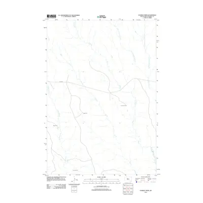 2012 Charlie Creek2012 Print · USGSCovers District 6, including Dewey County, United States, and other nearby areas
 - 2012 Map of No Heart Creek SE, 2012 Print
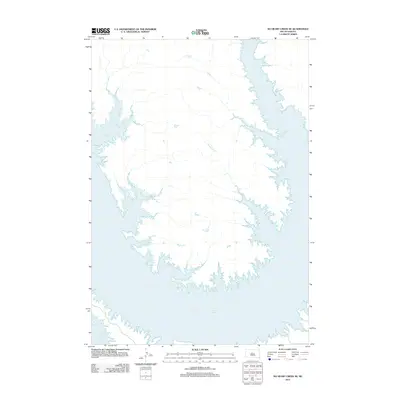 2012 No Heart Creek SE2012 Print · USGSCovers District 6, including Sully County, Dewey County, and other nearby areas
Showing maps 1-25 of 124
Top neighborhoods of District 6
- Moreau historical maps
- Promise historical maps
- Ridgeview historical maps
- Marksville historical maps
- La Plant historical maps
- Trail City historical maps
See more
Frequently asked questions
- What are the different types of historical maps available for District 6?
- What is the oldest map of District 6?
- Where can I purchase historical maps of District 6 for my home or office?
- Where can I download high-res historical maps of District 6?
- Are there historical topographic maps available for District 6?
- Is there historical aerial imagery available for District 6?
- Where are historical maps of District 6 sourced from?