2010s Maps of District 6, South Dakota
Explore 93 historic maps of District 6 from the 2010s. These maps offer a rare glimpse into what life looked like during the 2010s — showing old roads, neighborhoods, homes, and landmarks that have changed or disappeared over time.
Whether you're researching your family's past, planning a metal detecting trip, or studying how District 6's landscape evolved across the 2010s, these high-resolution maps are a powerful tool for exploring the history of this region.
- Focus on a specific era: All maps on this page are from the 2010s, giving you a focused view of this time period.
- See what’s changed: Compare century-old streets, trails, and buildings to today's modern landscape using overlays and satellite layers.
- Research with precision: Use these maps for genealogy, historical research, land use analysis, or educational projects.
- View, download, or print: Maps are fully viewable online in high resolution, and can be downloaded or printed for your own records.
Start exploring District 6's history through authentic maps from the 2010s. This is your window into the past.
District 6, SD maps
(93)- 2012 Map of Glencross NE, 2012 Print
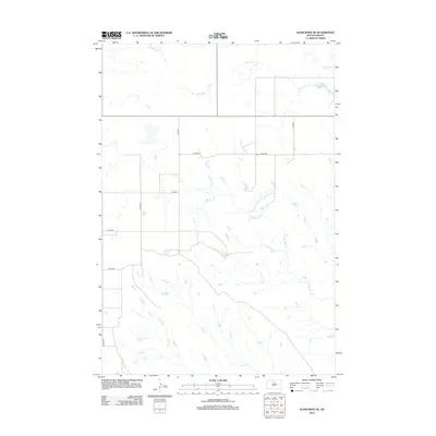 2012 Glencross NE2012 Print · USGSThe northern plains of South Dakota are captured here in the early twenty-first century, showcasing a landscape defined by prairie drainages and rural roads. Genealogists and researchers can trace the course of Snake Cr and Jolley Cr or locate Trail City Railroad Lake.
 - 2012 Map of Trail City SW, 2012 Print
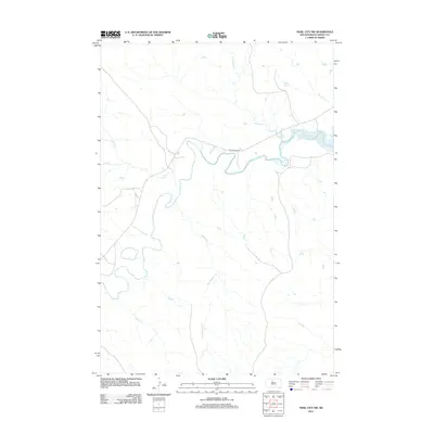 2012 Trail City SW2012 Print · USGSDewey County's prairie landscape is defined by the winding Moreau River as it approached the western reaches of Lake Oahe in the early 21st century. Researchers can trace remote drainage networks like Blue Beaver Cr and Handboy Cr along the path of Whitehorse Rd.
 - 2012 Map of Patch Skin Buttes SW, 2012 Print
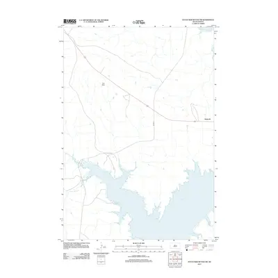 2012 Patch Skin Buttes SW2012 Print · USGSThe Cheyenne River Reservation landscape meets the expansive waters of Lake Oahe in this modern survey of central South Dakota. Genealogists and local historians can locate the community of Marksville and trace the winding paths of Stove Cr and Scatter Butte Cr.
 - 2012 Map of Glencross SE, 2012 Print
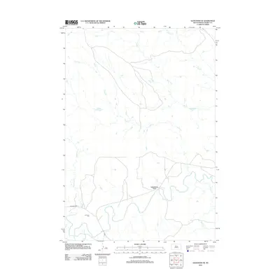 2012 Glencross SE2012 Print · USGSDistrict 4 in Dewey County shows a landscape dominated by the meandering Moreau River during the early twenty-first century. Genealogists and local historians can trace family ties at Emmanuel Cem or locate the historic crossing at Yellowhorse Ford.
 - 2012 Map of Trail City, 2012 Print
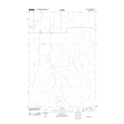 2012 Trail City2012 Print · USGSTrail City and the surrounding South Dakota prairie are captured in this 2012 survey, showing the rural crossroads at a modern moment. Genealogists and local historians can locate the Trail City Cem and trace the drainage of Snake Cr and Trail City Railroad Lake.
 - 2012 Map of Patch Skin Buttes, 2012 Print
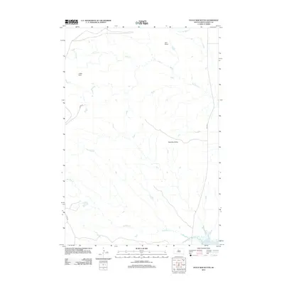 2012 Patch Skin Buttes2012 Print · USGSDewey County’s open range and high plateaus are documented here in the early twenty-first century, just west of the Missouri River. Trace the local topography through landmarks like Patch Skin Buttes, Coffee Butte, and the waters of Lake Oahe.
 - 2012 Map of Moreau NW, 2012 Print
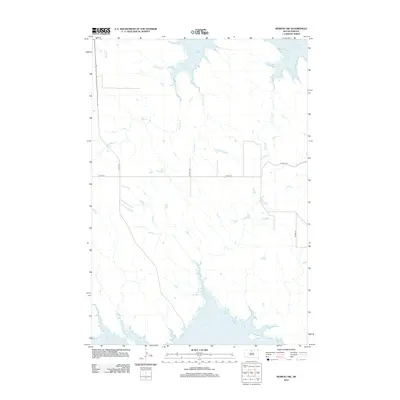 2012 Moreau NW2012 Print · USGSThe Missouri River breaks into the high prairie of Corson County during the early twenty-first century, revealing a landscape of winding creek beds and vast reservoir shorelines. Researchers can trace the dendritic patterns of Timber Cr, Smelser Cr, and Lake Oahe as they define this rural South Dakota corridor.
 - 2012 Map of Moreau, 2012 Print
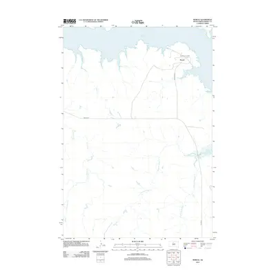 2012 Moreau2012 Print · USGSDewey County in the early 2010s shows a landscape shaped by the waters of the Missouri River. Researchers can trace the layout of the Blackfoot Community and Moreau, or follow the banks of Hokshela Cr as it winds toward Lake Oahe.
 - 2012 Map of Moreau SE, 2012 Print
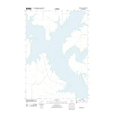 2012 Moreau SE2012 Print · USGSDewey County’s landscape meets the expansive Missouri River reservoir in the early twenty-first century. Researchers can trace the rugged shoreline and the drainage points of Three Legs Cr and Fielder Cr into the waters of Lake Oahe.
 - 2012 Map of Promise, 2012 Print
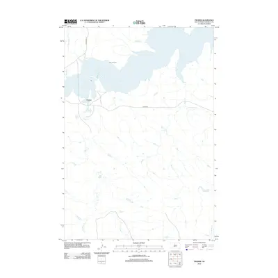 2012 Promise2012 Print · USGSThe Missouri River breaks of Dewey County are captured here in the early twenty-first century, centered on the community of Promise. Researchers can trace the local landscape near Saint Johns Cem and the complex drainage of Virgin Cr and Beaver Cr.
 - 2012 Map of Virginia, 2012 Print
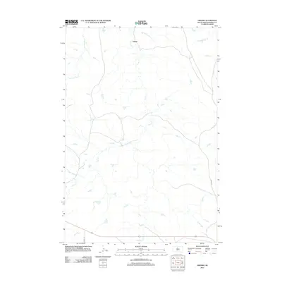 2012 Virginia2012 Print · USGSVirginia and the surrounding Dewey County prairie are captured here in the early twenty-first century. Researchers can trace the drainage of Virgin Cr and Left Hand Bear Cr or follow the paths of rural routes like CO HWY-14F.
 - 2012 Map of Laundreaux Butte, 2012 Print
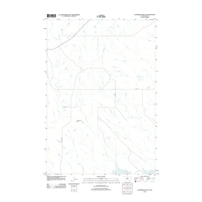 2012 Laundreaux Butte2012 Print · USGSThe Missouri River plateau near Wakpala comes into focus in the early 2010s, showing a landscape defined by high ridges and deep drainages. Researchers can trace the rugged topography from Laundreaux Butte down the winding paths of Le Beau Cr and Tom Hill Cr toward Lake Oahe.
 - 2012 Map of Patch Skin Buttes SE, 2012 Print
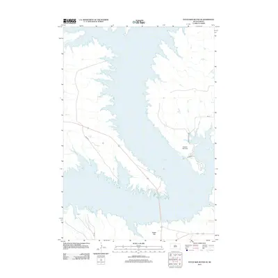 2012 Patch Skin Buttes SE2012 Print · USGSLake Oahe and the Missouri River valley define the Potter County landscape in the early 2010s. Researchers can trace the development of Forest City and recreational sites like the W Whitlock Rec Area and Dolphus Peninsula.
 - 2012 Map of La Plant SW, 2012 Print
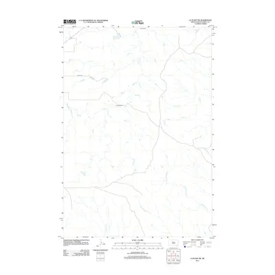 2012 La Plant SW2012 Print · USGSDewey County ranching country is shown here in the early twenty-first century, defined by its intricate network of prairie drainages. Researchers can trace land boundaries near Agneau Ranch and the water courses of Virgin Cr and No Heart Cr.
 - 2012 Map of Moreau NE, 2012 Print
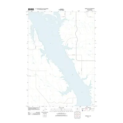 2012 Moreau NE2012 Print · USGSCorson County's shoreline along the Missouri River is captured here during the early twenty-first century. Researchers can trace the winding inlets of Lake Oahe and follow rural access routes like River View Rd or Co Hwy-14A.
 - 2012 Map of Ridgeview NE, 2012 Print
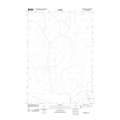 2012 Ridgeview NE2012 Print · USGSDewey County in the early twenty-first century remains a landscape of sprawling drainage basins and remote ranching outposts. Researchers can trace the path of the Cheyenne River and locate landmarks like the Booth Ranch Airport or BIA 3.
 - 2012 Map of Ridgeview, 2012 Print
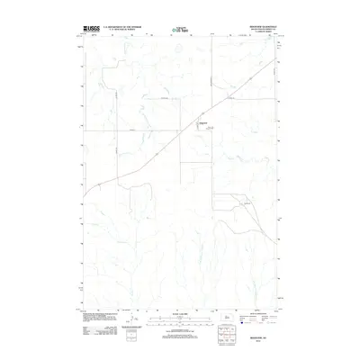 2012 Ridgeview2012 Print · USGSRidgeview and the surrounding Dewey County plains are captured here in the early twenty-first century, showing a landscape defined by ranching and seasonal creek beds. Researchers can locate Saint Josephs Cem and the Hiett Ranch amidst the winding paths of Cottonwood Cr and Virgin Cr.
 - 2012 Map of No Heart Creek NE, 2012 Print
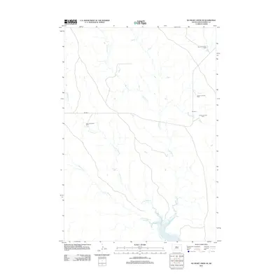 2012 No Heart Creek NE2012 Print · USGSThe ranchlands of Dewey County meet the northern reaches of the Missouri River in this early twenty-first-century survey. Genealogists and local historians can trace legacy family holdings such as the Quentin LeCompte Ranch and Wayne Ducheneaux Ranch along Little Willow Cr.
 - 2012 Map of No Heart Creek, 2012 Print
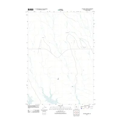 2012 No Heart Creek2012 Print · USGSDewey County ranching and the northern reaches of the Missouri River reservoir are captured in the early 2010s. Researchers can locate established family holdings like Fast Horse Ranch and Means Ranch or trace the drainage of No Heart Cr toward Lake Oahe.
 - 2012 Map of Artichoke Butte SW, 2012 Print
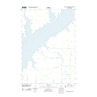 2012 Artichoke Butte SW2012 Print · USGSThe South Dakota prairie meets the expansive shoreline of the Missouri River in the early 2010s. Local researchers can locate Blair Cem and trace the winding paths of Bloody Run and Fuller Lake through the rural section-line roads.
 - 2012 Map of Rousseau Creek, 2012 Print
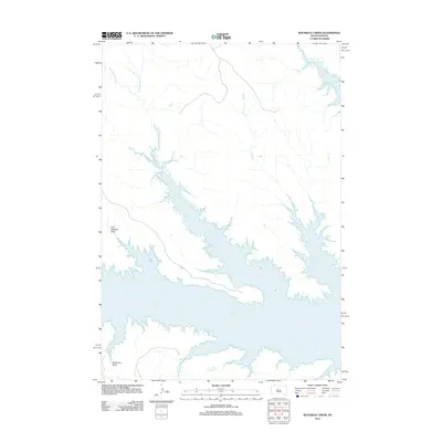 2012 Rousseau Creek2012 Print · USGSThe Missouri River breaks of Dewey County appear here in the early twenty-first century as the massive expanse of Lake Oahe. Researchers can trace the submerged drainage networks of Rousseau Cr and explore named topographic features like Fine Weather Draw.
 - 2012 Map of Rousseau Creek NW, 2012 Print
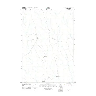 2012 Rousseau Creek NW2012 Print · USGSDewey County ranching life is documented here in the early twenty-first century, showing a landscape shaped by seasonal creek beds and family lands. Researchers can locate specific properties like Keckler Ranch, Marshell Ranch, and the winding path of Fishgut Cr.
 - 2012 Map of No Heart Creek SW, 2012 Print
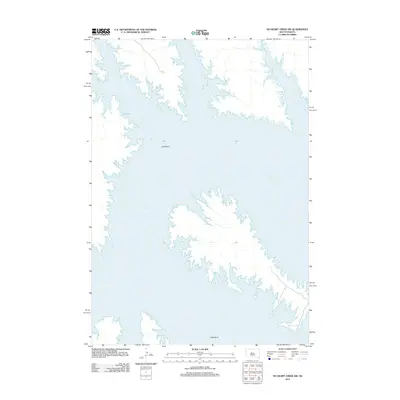 2012 No Heart Creek SW2012 Print · USGSThe Missouri River valley in central South Dakota is defined by the expansive waters of the reservoir in the early twenty-first century. Researchers can trace the winding shoreline of Lake Oahe and the prominent peninsula at Little Bend.
 - 2012 Map of Charlie Creek, 2012 Print
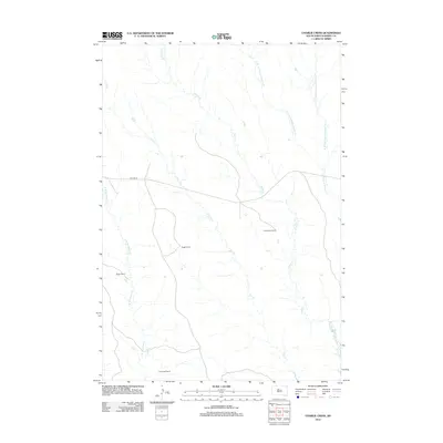 2012 Charlie Creek2012 Print · USGSDewey County ranching life is documented here in the early twenty-first century, showing a remote landscape shaped by prairie creeks and isolated homesteads. Researchers can locate family-held operations like Sogge Ranch and Dog Eagle Ranch along the route of BIA HWY 8.
 - 2012 Map of No Heart Creek SE, 2012 Print
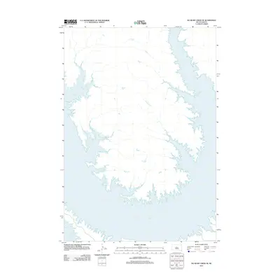 2012 No Heart Creek SE2012 Print · USGSThe Missouri River valley in central South Dakota is defined here by the wide waters of the reservoir in the early twenty-first century. Researchers can trace the jagged shoreline of Lake Oahe and the paths of local tributaries like Fairbanks Cr and Splits Cr.
Showing maps 1-25 of 93
Top neighborhoods of District 6
- Moreau historical maps
- Promise historical maps
- Ridgeview historical maps
- Marksville historical maps
- La Plant historical maps
- Trail City historical maps
See more
Frequently asked questions
- What are the different types of historical maps available for District 6?
- What is the oldest map of District 6?
- Where can I purchase historical maps of District 6 for my home or office?
- Where can I download high-res historical maps of District 6?
- Are there historical topographic maps available for District 6?
- Is there historical aerial imagery available for District 6?
- Where are historical maps of District 6 sourced from?