2000s (21st Century) Maps of Walworth County, South Dakota
Explore 100 historic maps of Walworth County from the 2000s (21st Century). These maps offer a rare glimpse into what life looked like during the 2000s — showing old roads, neighborhoods, homes, and landmarks that have changed or disappeared over time.
Whether you're researching your family's past, planning a metal detecting trip, or studying how Walworth County's landscape evolved across the 2000s, these high-resolution maps are a powerful tool for exploring the history of this region.
- Focus on a specific era: All maps on this page are from the 2000s, giving you a focused view of this time period.
- See what’s changed: Compare century-old streets, trails, and buildings to today's modern landscape using overlays and satellite layers.
- Research with precision: Use these maps for genealogy, historical research, land use analysis, or educational projects.
- View, download, or print: Maps are fully viewable online in high resolution, and can be downloaded or printed for your own records.
Start exploring Walworth County's history through authentic maps from the 2000s. This is your window into the past.
Walworth County, SD maps
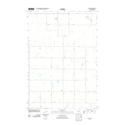
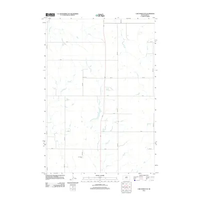
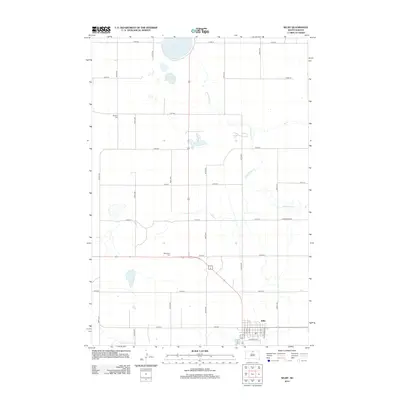
(100)- 2012 Map of Hoven Municipal Airport, 2012 Print
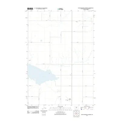 2012 Hoven Municipal Airport2012 Print · USGSCovers Walworth County, including United States, South Dakota, and other nearby areas
 - 2012 Map of Bowdle SW, 2012 Print
 2012 Bowdle SW2012 Print · USGSCovers Walworth County, including Edmunds County, United States, and other nearby areas
 - 2012 Map of Bowdle-Hosmer Lake, 2012 Print
 2012 Bowdle-Hosmer Lake2012 Print · USGSCovers Walworth County, including Campbell County, McPherson County, and other nearby areas
 - 2012 Map of Java, 2012 Print
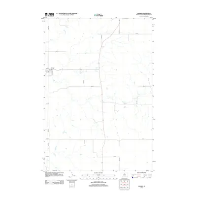
 2012 Java2012 Print · USGSCovers Walworth County, including Java, Campbell County, and other nearby areas
 - 2012 Map of Spring Lake, 2012 Print
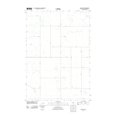
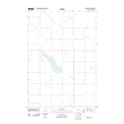 2012 Spring Lake2012 Print · USGSCovers Walworth County, including United States, South Dakota, and other nearby areas
 - 2012 Map of Lowry NW, 2012 Print
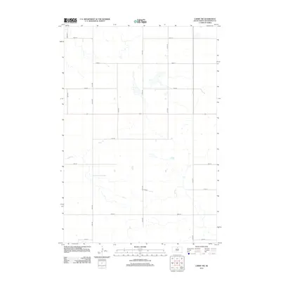 2012 Lowry NW2012 Print · USGSCovers Walworth County, including Java, United States, and other nearby areas
 - 2012 Map of Lowry, 2012 Print
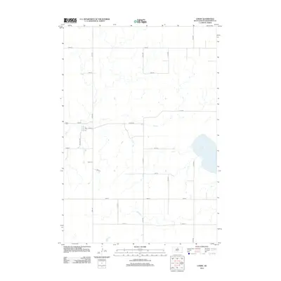 2012 Lowry2012 Print · USGSCovers Walworth County, including Lowry, United States, and other nearby areas
 - 2012 Map of Bowdle, 2012 Print
 2012 Bowdle2012 Print · USGSCovers Walworth County, including Bowdle, Edmunds County, and other nearby areas
 - 2012 Map of Java SE, 2012 Print
 2012 Java SE2012 Print · USGSCovers Walworth County, including Java, Campbell County, and other nearby areas
 - 2012 Map of Seneca NW, 2012 Print
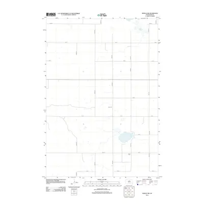 2012 Seneca NW2012 Print · USGSCovers Walworth County, including Potter County, Edmunds County, and other nearby areas
 - 2012 Map of Flight Lake, 2012 Print
 2012 Flight Lake2012 Print · USGSCovers Walworth County, including Potter County, United States, and other nearby areas
 - 2012 Map of Hoven, 2012 Print
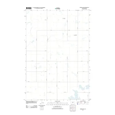
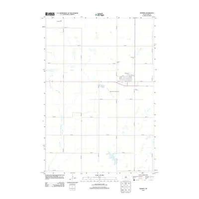
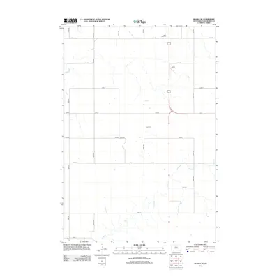
 2012 Hoven2012 Print · USGSCovers Walworth County, including Hoven, Potter County, and other nearby areas
 - 2012 Map of Akaska NE, 2012 Print
 2012 Akaska NE2012 Print · USGSCovers Walworth County, including Selby, United States, and other nearby areas
 - 2012 Map of Lake Hurley NE, 2012 Print
 2012 Lake Hurley NE2012 Print · USGSCovers Walworth County, including Potter County, United States, and other nearby areas
 - 2012 Map of Akaska, 2012 Print
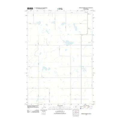
 2012 Akaska2012 Print · USGSCovers Walworth County, including Akaska, United States, and other nearby areas
 - 2012 Map of Akaska NW, 2012 Print
 2012 Akaska NW2012 Print · USGSCovers Walworth County, including United States, South Dakota, and other nearby areas
 - 2012 Map of Moreau SE, 2012 Print
 2012 Moreau SE2012 Print · USGSCovers Walworth County, including District 6, Dewey County, and other nearby areas
 - 2012 Map of Selby, 2012 Print
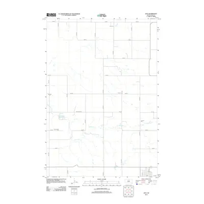
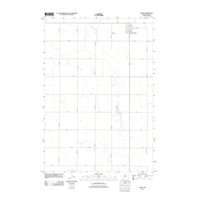
 2012 Selby2012 Print · USGSCovers Walworth County, including Selby, Campbell County, and other nearby areas
 - 2012 Map of Steamboat Creek, 2012 Print
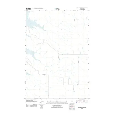 2012 Steamboat Creek2012 Print · USGSCovers Walworth County, including Potter County, United States, and other nearby areas
 - 2012 Map of Moreau NE, 2012 Print
 2012 Moreau NE2012 Print · USGSCovers Walworth County, including Wakpala, District 6, and other nearby areas
 - 2012 Map of Glenham, 2012 Print
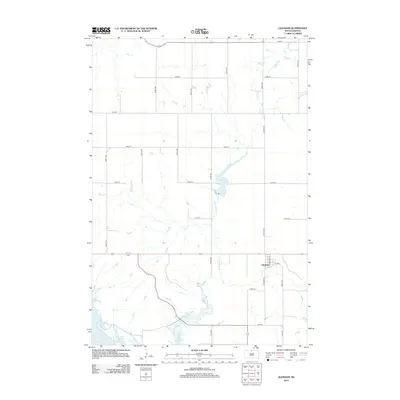 2012 Glenham2012 Print · USGSCovers Walworth County, including Wakpala, Glenham, and other nearby areas
 - 2012 Map of Akaska SW, 2012 Print
 2012 Akaska SW2012 Print · USGSCovers Walworth County, including Akaska, United States, and other nearby areas
 - 2012 Map of Selby SW, 2012 Print
 2012 Selby SW2012 Print · USGSCovers Walworth County, including Sitka, Campbell County, and other nearby areas
 - 2012 Map of Mobridge, 2012 Print
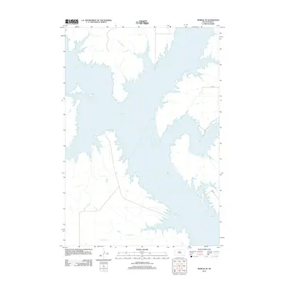
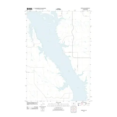
 2012 Mobridge2012 Print · USGSCovers Walworth County, including Mobridge, Wakpala, and other nearby areas
 - 2012 Map of Four Bear Creek, 2012 Print
 2012 Four Bear Creek2012 Print · USGSCovers Walworth County, including District 6, Potter County, and other nearby areas
Showing maps 1-25 of 100
Top cities of Walworth County
- Mobridge historical maps
- Selby historical maps
- Java historical maps
- Glenham historical maps
- Akaska historical maps
- Lowry historical maps
Frequently asked questions
- What are the different types of historical maps available for Walworth County?
- What is the oldest map of Walworth County?
- Where can I purchase historical maps of Walworth County for my home or office?
- Where can I download high-res historical maps of Walworth County?
- Are there historical topographic maps available for Walworth County?
- Is there historical aerial imagery available for Walworth County?
- Where are historical maps of Walworth County sourced from?