2000s (21st Century) Maps of Burleson County, Texas
Explore 100 historic maps of Burleson County from the 2000s (21st Century). These maps offer a rare glimpse into what life looked like during the 2000s — showing old roads, neighborhoods, homes, and landmarks that have changed or disappeared over time.
Whether you're researching your family's past, planning a metal detecting trip, or studying how Burleson County's landscape evolved across the 2000s, these high-resolution maps are a powerful tool for exploring the history of this region.
- Focus on a specific era: All maps on this page are from the 2000s, giving you a focused view of this time period.
- See what’s changed: Compare century-old streets, trails, and buildings to today's modern landscape using overlays and satellite layers.
- Research with precision: Use these maps for genealogy, historical research, land use analysis, or educational projects.
- View, download, or print: Maps are fully viewable online in high resolution, and can be downloaded or printed for your own records.
Start exploring Burleson County's history through authentic maps from the 2000s. This is your window into the past.
Burleson County, TX maps
(100)- 2010 Map of Lyons, 2010 Print
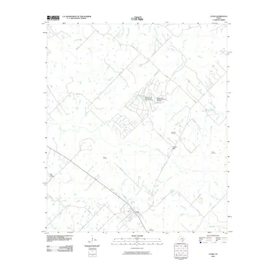 2010 Lyons2010 Print · USGSThe rural landscape of Burleson County is captured here in the early twenty-first century, centered on the settlement of Lyons. Researchers can trace old family burial sites and rural junctions like Center Line, Pillow Cemetery, and Lawrence Cemetery.
 - 2010 Map of Chances Store, 2010 Print
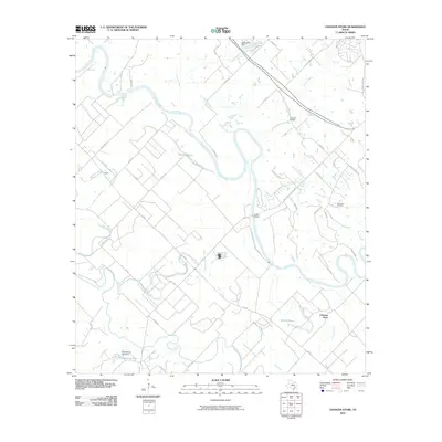 2010 Chances Store2010 Print · USGSThe Brazos River valley west of College Station is captured here in the early twenty-first century, showing a landscape of fertile bottomlands and bayous. Researchers can trace local landmarks like Chances Store, find family history at Newsome Cemetery, and locate old crossings at London Bridge.
 - 2010 Map of Milano, 2010 Print
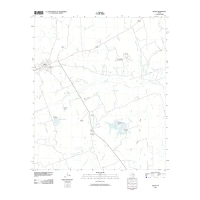 2010 Milano2010 Print · USGSMilam County is shown here in the early twenty-first century, centered on the intersection of the rail and road networks at Milano. Genealogists and historians can locate numerous rural burial sites like Santana Ruize Cemetery and Jeter Cemetery.
 - 2010 Map of Tanglewood, 2010 Print
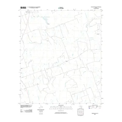 2010 Tanglewood2010 Print · USGSTanglewood and the rural outskirts of Lee County are documented here in the early twenty-first century, showing a landscape defined by creeks and family heritage. Genealogists and historians can locate sites like Mount Zion Cemetery, Lyles Cemetery, and Phinney Lake Dam.
 - 2010 Map of Tunis, 2010 Print
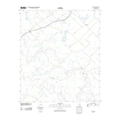 2010 Tunis2010 Print · USGSThe rural landscapes of Burleson County are captured here as they appeared in 2010, dominated by the winding path of the Brazos River. Genealogists and local historians can trace legacy sites like Old Bethlehem Cemetery, Cooks Point, and Salem Cemetery.
 - 2010 Map of Caldwell, 2010 Print
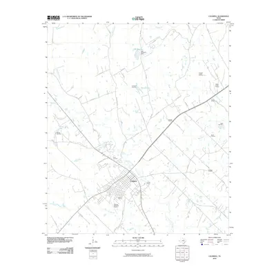 2010 Caldwell2010 Print · USGSCaldwell and its rural Burleson County surrounds are documented here during a period of steady growth and local aviation activity. Researchers can trace family roots through several local burial sites, including the Masonic Cemetery, New Tabor Cemetery, and Elizabeth Chapel Cemetery.
 - 2010 Map of Deanville, 2010 Print
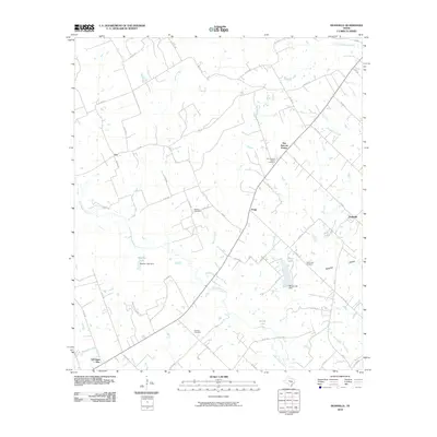 2010 Deanville2010 Print · USGSThe rural stretches of Lee County are captured here in the early twenty-first century, showing a network of small Texas settlements and family-named landmarks. Researchers can locate several burial grounds, including Hranice Cemetery, and trace the paths of East Yegua Creek and Buffalo Creek.
 - 2010 Map of Frenstat, 2010 Print
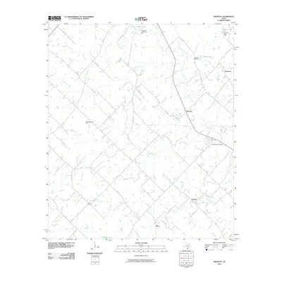 2010 Frenstat2010 Print · USGSThis rural Burleson County landscape comes into focus during the early twenty-first century, showing the small settlements and water systems north of Somerville. Genealogists and locals can locate Beaird Cemetery and trace family-named sites like Schumacher Lake and Mockingbird Hill.
 - 2010 Map of Dime Box, 2010 Print
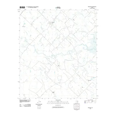 2010 Dime Box2010 Print · USGSLee County's rural landscape is captured here during the first decade of the new millennium, centered on the historic community of Dime Box. Local researchers can trace family connections at High Prairie Cemetery, Salem Cemetery, and the smaller settlement of Sweet Home.
 - 2010 Map of Flag Pond, 2010 Print
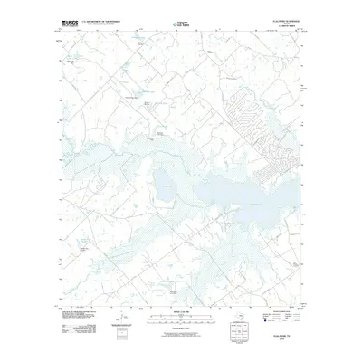 2010 Flag Pond2010 Print · USGSThe rural expanses near Somerville Lake come into focus during the early 2000s, showing a landscape shaped by water and wood. Researchers can locate family landmarks like Birch Cemetery, Flat Prairie Cemetery, and several private reservoirs including Schindler Lake.
 - 2010 Map of Somerville, 2010 Print
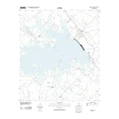 2010 Somerville2010 Print · USGSSomerville and its surrounding lakefront are captured here in the early twenty-first century, showing the intersection of major water management and rural Texas life. Researchers can find numerous family and community burial sites such as Schoppe Cemetery and Oak Lawn Cemetery, or trace the shoreline near Green Mountain.
 - 2010 Map of Independence, 2010 Print
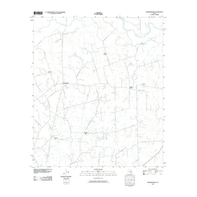 2010 Independence2010 Print · USGSSettled rural Washington County comes into focus in the early twenty-first century, showcasing a landscape of legacy plantations and historic transit corridors. Genealogists and historians can trace family locations near Independence, William Penn, and Good Hope Cemetery.
 - 2010 Map of Chriesman, 2010 Print
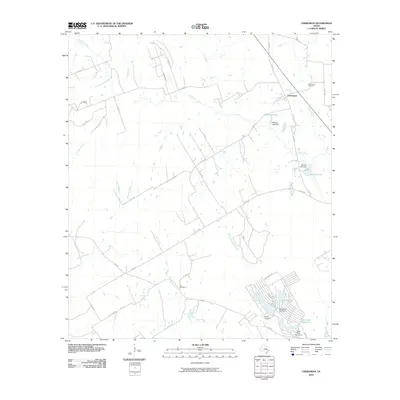 2010 Chriesman2010 Print · USGSThe community of Chriesman and the surrounding Burleson County countryside are documented here during a period of residential growth. Researchers can locate family heritage sites like Chriesman Cemetery or trace the development of Cade Lakes and Williams Lake.
 - 2010 Map of Hicks, 2010 Print
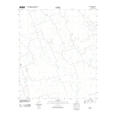 2010 Hicks2010 Print · USGSLee County near Hicks is captured here as a landscape of rural industry and winding waterways during the early twenty-first century. Genealogists and local historians can locate the Harmony Cemetery or trace the impact of local extraction at the Hicks Mine.
 - 2010 Map of Snook, 2010 Print
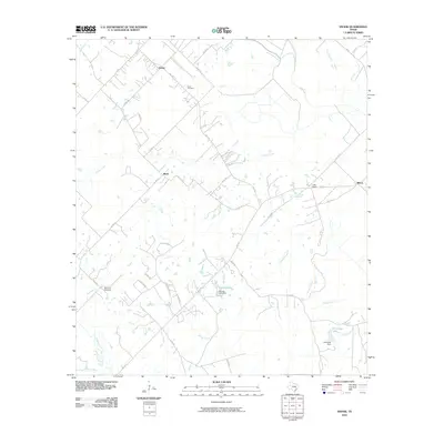 2010 Snook2010 Print · USGSBurleson County is shown in detail during the early 2010s, capturing the rural layout of the Brazos Valley region. Researchers can trace family history through sites like Snook Cemetery and Woodfork Cemetery or locate old settlements at Merle and Little Flock.
 - 2010 Map of Clay, 2010 Print
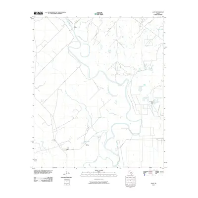 2010 Clay2010 Print · USGSThis rural Burleson County landscape was documented in the early twenty-first century as the Brazos River carved its path through the Texas bottomlands. Genealogists and researchers can locate family sites near Botts Ferry Cemetery, Clay Cemetery, or the banks of Wilkins Lake.
 - 2010 Map of Gay Hill, 2010 Print
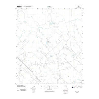 2010 Gay Hill2010 Print · USGSWashington County at the start of the 21st century remains a landscape of sprawling creeks and quiet rural settlements. Genealogists and local historians can trace family roots through Frieden Cemetery and locate early industry at the Clay Creek Oil Field.
 - 2010 Map of Goodwill, 2010 Print
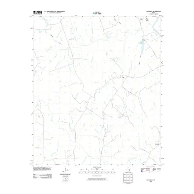 2010 Goodwill2010 Print · USGSMilam County at the turn of the decade is a landscape of creek-fed hollows and quiet rural hubs. Researchers can trace family history at Hix Cemetery or locate the site of Goodwill along the banks of Little Cedar Creek.
 - 2010 Map of Wellborn, 2010 Print
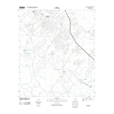 2010 Wellborn2010 Print · USGSCollege Station and the surrounding Brazos County countryside are documented here during a period of significant growth. Genealogists and historians can locate the College Station Cemetery, the Texas A and M campus, and smaller locales like Wellborn and Royder.
 - 2010 Map of Mumford, 2010 Print
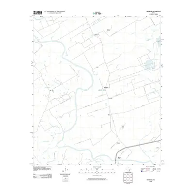 2010 Mumford2010 Print · USGSBrazos County at the start of the 2010s reveals a landscape shaped by the winding Brazos River and its rural settlements. Researchers can trace family ties at Mumford Cemetery or locate the small-town footprints of Stone City and Mudville.
 - 2013 Map of Somerville, 2013 Print
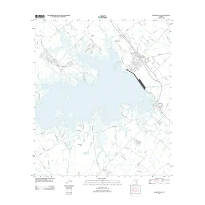 2013 Somerville2013 Print · USGSThe rail-and-water geography of Burleson County is on full display here in the early 2010s. Genealogists and historians can locate family landmarks like Schoppe Cem and Williams Cem, or trace the BNSF Railway through Somerville.
 - 2013 Map of Chriesman, 2013 Print
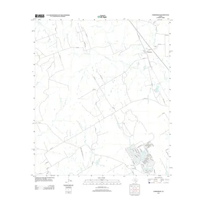 2013 Chriesman2013 Print · USGSChriesman and the surrounding Burleson County countryside are captured here in the early twenty-first century. Researchers can trace family history at Chriesman Cemetery or explore the development of the Cade Lakes residential area near Second Davidson Creek.
 - 2013 Map of Gay Hill, 2013 Print
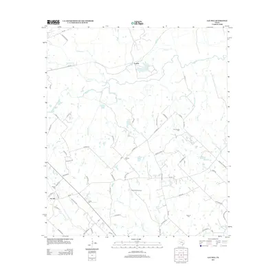 2013 Gay Hill2013 Print · USGSWashington County ranchlands and creek bottoms come into focus in this early twenty-first-century survey of the Gay Hill area. Researchers can trace local lineage through several rural burial sites, including Frieden Cem and Oak Rest Cem, while locating landmarks like the Clay Creek Oil Field.
 - 2013 Map of Caldwell, 2013 Print
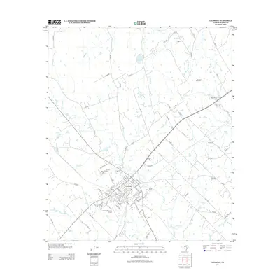 2013 Caldwell2013 Print · USGSCaldwell and its surrounding ranchlands are captured here in the early twenty-first century, showing the town's growth alongside traditional rural landscapes. Genealogists and local historians can trace family roots at the Masonic Cem, Elizabeth Chapel Cem, and New Tabor Cem.
 - 2013 Map of Milano, 2013 Print
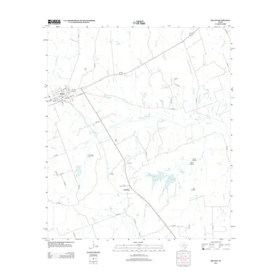 2013 Milano2013 Print · USGSMilano and the surrounding Milam County countryside are detailed here as they appeared in the early twenty-first century. Genealogists and local historians can trace family roots through numerous burial sites like Lee Garden Springs Cem, Jeter Cem, and the rural settlement at Elevation.
Showing maps 1-25 of 100
Top cities of Burleson County
Frequently asked questions
- What are the different types of historical maps available for Burleson County?
- What is the oldest map of Burleson County?
- Where can I purchase historical maps of Burleson County for my home or office?
- Where can I download high-res historical maps of Burleson County?
- Are there historical topographic maps available for Burleson County?
- Is there historical aerial imagery available for Burleson County?
- Where are historical maps of Burleson County sourced from?