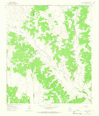
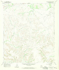
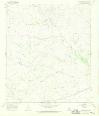
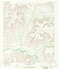
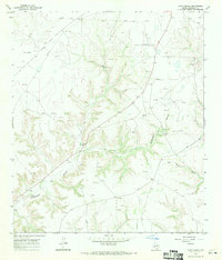
1960s Maps of Crockett County, Texas
Explore 38 historic maps of Crockett County from the 1960s. These maps offer a rare glimpse into what life looked like during the 1960s — showing old roads, neighborhoods, homes, and landmarks that have changed or disappeared over time.
Whether you're researching your family's past, planning a metal detecting trip, or studying how Crockett County's landscape evolved across the 1960s, these high-resolution maps are a powerful tool for exploring the history of this region.
- Focus on a specific era: All maps on this page are from the 1960s, giving you a focused view of this time period.
- See what’s changed: Compare century-old streets, trails, and buildings to today's modern landscape using overlays and satellite layers.
- Research with precision: Use these maps for genealogy, historical research, land use analysis, or educational projects.
- View, download, or print: Maps are fully viewable online in high resolution, and can be downloaded or printed for your own records.
Start exploring Crockett County's history through authentic maps from the 1960s. This is your window into the past.
Crockett County, TX maps
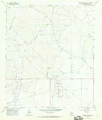
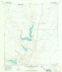
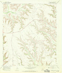
(38)- 1964 Map of Oglesby Ranch, 1966 Print
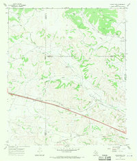
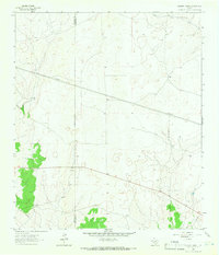 1964 Oglesby Ranch1966 Print · USGSSchleicher and Crockett counties meet in this 1960s ranching landscape, where the open range is divided by fences and petroleum infrastructure. Researchers can trace the layout of family holdings like Oglesby Ranch and Preston Ranch alongside early Pipelines.
 - 1964 Map of Bailey Draw, 1966 Print
 1964 Bailey Draw1966 Print · USGSThe West Texas ranchlands in the mid-sixties are captured here at the Crockett Co Schleicher Co line. Trace the history of local operations like Willoughby Ranch and Powell Ranch alongside Bailey Draw.2 unique versions available
 - 1965 Map of San Angelo
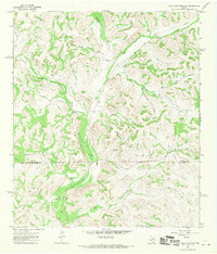
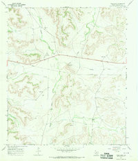
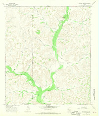
 1965 San Angelo1965 Print · USGSWest Texas in the mid-sixties reveals a landscape shaped by the petroleum industry and strategic water management. Genealogists and historians can trace the rail corridor through Texon and Big Lake, or locate military landmarks like Goodfellow AFB and Broome Air Force Auxiliary Airfield.
 - 1967 Map of Owens Creek SE, 1969 Print
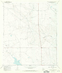
 1967 Owens Creek SE1969 Print · USGSCrockett County's energy landscape is captured here in the late sixties, showing the expansion of petroleum infrastructure. Researchers can trace the layout of the Shannon Oil Field, find specific oil wells, and follow the path of Mailbox Draw.
 - 1967 Map of Owens Creek NE, 1969 Print
 1967 Owens Creek NE1969 Print · USGSCrockett County is shown at the height of its mid-century petroleum expansion, dominated by the World West Oil Field and the Shannon Field. Researchers can locate specialized sites like the Refinery near World and numerous livestock markers such as Alto Windmill.
 - 1967 Map of Nolen Draw, 1970 Print
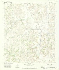
 1967 Nolen Draw1970 Print · USGSRanch lands at the intersection of Sutton, Schleicher, and Crockett counties are captured here in the late sixties. Researchers can trace remote family holdings like T Half Circle Ranch, navigate Turkey Roost Draw, and locate Starks Windmill.2 unique versions available
 - 1967 Map of Twelvemile Camp, 1970 Print
 1967 Twelvemile Camp1970 Print · USGSCrockett and Pecos counties in the late sixties were defined by the expansion of the energy sector into the high-desert canyons. Researchers can trace the mid-century petroleum footprint through numerous Oil Wells and the Pipeline near Twelvemile Camp.
 - 1967 Map of Ozona, 1970 Print
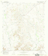
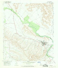
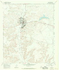 1967 Ozona1970 Print · USGSOzona is captured here in the late sixties as a bustling West Texas county seat defined by its gas fields and dry draws. Researchers can trace the development of the town's core near Cedar Hill Cem or locate industrial sites within the Ozona Gas Field.2 unique versions available
 - 1967 Map of Baggett Ranch, 1970 Print
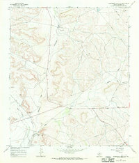
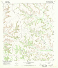
 1967 Baggett Ranch1970 Print · USGSCrockett County ranching and energy extraction intersect in this late 1960s survey of the Edwards Plateau. Researchers can trace the rugged topography of Bert Mertz Canyon and Johnson Draw alongside the infrastructure of the Gas and Oil Field.
 - 1967 Map of Schneeman Draw NW, 1970 Print
 1967 Schneeman Draw NW1970 Print · USGSCrockett County ranching and resource exploration are captured here in the late sixties, just as modern infrastructure began crossing the plateau. Researchers can locate the Fogarty Ranch and trace the paths of Schneeman Draw and Howard Draw.
 - 1967 Map of Flat Rock Draw SW, 1970 Print
 1967 Flat Rock Draw SW1970 Print · USGSThe Texas Hill Country at the meeting of Crockett and Sutton counties shows a landscape of isolated ranching life in the late 1960s. Genealogists and historians can trace the large holdings of the Phillips Ranch and Hunnicutt Ranch or locate geographic landmarks like Pot Hole City Canyon.2 unique versions available
 - 1967 Map of Double Mill Draw SE, 1970 Print
 1967 Double Mill Draw SE1970 Print · USGSCrockett County ranchland in the late sixties centers on the Devils River and the emerging energy infrastructure of West Texas. Researchers can locate the Clayton Ranch and trace the paths of Turkey Roost Draw and early PIPELINE routes.2 unique versions available
 - 1967 Map of Burnt Canyon, 1970 Print
 1967 Burnt Canyon1970 Print · USGSCrockett County ranching and industrial infrastructure are documented here in the late sixties. Researchers can trace the layout of remote operations through landmarks like the Lee settlement, a Landing Strip, and several water features including Clay Tank.
 - 1967 Map of Ozona SE, 1970 Print
 1967 Ozona SE1970 Print · USGSCrockett County ranching country is captured here in the late sixties, showing a landscape defined by deep draws and isolated homesteads. Genealogists and local historians can locate legacy properties like Read Ranch and Perner Ranch or trace the paths of Shaggy Canyon and Rock House Canyon.2 unique versions available
 - 1967 Map of Schneeman Draw NE, 1970 Print
 1967 Schneeman Draw NE1970 Print · USGSCrockett County in the late 1960s was an landscape of intensive energy extraction. Trace the industrial infrastructure of the Midway Lane Oil Field, the Elkhorn Oil Field, and the central Gas Plant as they appeared decades ago.
 - 1967 Map of Pikes Peak, 1970 Print
 1967 Pikes Peak1970 Print · USGSCrockett County ranching and resource extraction are on full display in the late sixties as industry began to mark the rural landscape. Researchers can locate remote family operations like Bunger Ranch or trace the geography of Pikes Peak and Howard Draw.2 unique versions available
 - 1967 Map of Deer Canyon, 1970 Print
 1967 Deer Canyon1970 Print · USGSThe Pecos River serves as the winding border between Crockett and Pecos counties in the late 1960s. Researchers can trace the mid-century energy boom through active Oil Wells and a Pumping Sta located within the Millard Oil Field and Noel Oil Field.
 - 1967 Map of Schneeman Draw SW, 1970 Print
 1967 Schneeman Draw SW1970 Print · USGSCrockett County ranching and petroleum production are captured here at the end of the 1960s. Researchers can trace the industrial layout of the Todd Deep Oil Field and refinery alongside family-run operations like Fields Ranch.
 - 1967 Map of Indio Hill, 1970 Print
 1967 Indio Hill1970 Print · USGSCrockett County ranching and early petroleum extraction are central to this late 1960s survey of the West Texas landscape. Researchers can trace land use through features like the J Childress Ranch, the McNutt Windmill, and a local Drive-in Theater.
 - 1967 Map of Fort Lancaster, 1970 Print
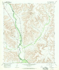
 1967 Fort Lancaster1970 Print · USGSThe West Texas frontier meets the mid-century oil industry in this late 1960s survey of the Pecos River valley. Historians and researchers can locate the site of Fort Lancaster (Ruins) and trace the industrial footprint of Oil Wells across COX HILL.
 - 1967 Map of Hunt Ranch, 1970 Print
 1967 Hunt Ranch1970 Print · USGSCrockett County ranching and energy development are captured in the late sixties as the high plateaus were transformed by industry. Researchers can trace the layout of Hunt Ranch and map natural gas infrastructure among the contours of Government Canyon and Bert Mertz Canyon.
 - 1967 Map of Iraan, 1970 Print
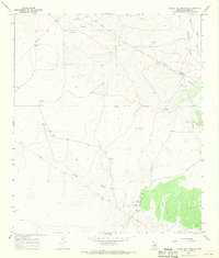
 1967 Iraan1970 Print · USGSThe West Texas petroleum landscape comes to life in this mid-century survey of the Yates Oil Field and the town of Iraan. Genealogists and industrial historians can trace the development of local infrastructure including Restland Cemetery, the Municipal Airport, and the Gas Plant.
 - 1967 Map of Bachelor Hill, 1970 Print
 1967 Bachelor Hill1970 Print · USGSCrockett County ranch land and resource extraction are documented in the late sixties before modern development. Genealogists and researchers can trace family sites at Graves or locate regional landmarks like Escondido Water Hole and the Four Corner Windmill.
 - 1967 Map of Shafter Draw, 1970 Print
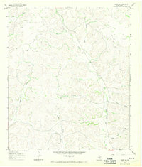
 1967 Shafter Draw1970 Print · USGSDeep in the Texas ranchlands during the late sixties, this survey captures the remote pastoral landscape along the Sutton and Crockett county line. Researchers can trace the layout of family operations like Karnes Ranch and Friend Ranch or locate remote water sources such as Indian Well and Shafter Well.2 unique versions available
 - 1967 Map of Double Mill Draw NW, 1970 Print
 1967 Double Mill Draw NW1970 Print · USGSCrockett County ranching and transit history are preserved in this late-sixties survey of the West Texas draws. Researchers can locate the High Lonesome Stage Station (Site), the Bissett Ranch, and the Midway settlement.
Showing maps 1-25 of 38
Top cities of Crockett County
Frequently asked questions
- What are the different types of historical maps available for Crockett County?
- What is the oldest map of Crockett County?
- Where can I purchase historical maps of Crockett County for my home or office?
- Where can I download high-res historical maps of Crockett County?
- Are there historical topographic maps available for Crockett County?
- Is there historical aerial imagery available for Crockett County?
- Where are historical maps of Crockett County sourced from?