2000s (21st Century) Maps of Jackson County, Texas
Explore 120 historic maps of Jackson County from the 2000s (21st Century). These maps offer a rare glimpse into what life looked like during the 2000s — showing old roads, neighborhoods, homes, and landmarks that have changed or disappeared over time.
Whether you're researching your family's past, planning a metal detecting trip, or studying how Jackson County's landscape evolved across the 2000s, these high-resolution maps are a powerful tool for exploring the history of this region.
- Focus on a specific era: All maps on this page are from the 2000s, giving you a focused view of this time period.
- See what’s changed: Compare century-old streets, trails, and buildings to today's modern landscape using overlays and satellite layers.
- Research with precision: Use these maps for genealogy, historical research, land use analysis, or educational projects.
- View, download, or print: Maps are fully viewable online in high resolution, and can be downloaded or printed for your own records.
Start exploring Jackson County's history through authentic maps from the 2000s. This is your window into the past.
Jackson County, TX maps
(120)- 2010 Map of Point Comfort, 2010 Print
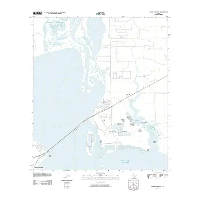 2010 Point Comfort2010 Print · USGSThe industrial Texas coastline near Point Comfort and Port Lavaca is captured here in the early twenty-first century. Researchers can trace coastal engineering and maritime infrastructure through features like the Swan Lake Oil Field, Lavaca Causeway Marina, and Coxs Creek Dam.
 - 2010 Map of Speaks, 2010 Print
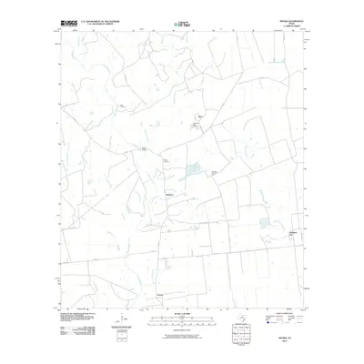 2010 Speaks2010 Print · USGSLavaca County's rural ranching and oil country comes to life in this early 21st-century study of the area surrounding Provident City. Researchers can trace local lineage at Hartt Cemetery or explore industrial roots at the Wilcox Refinery and Provident City Gas Field.
 - 2010 Map of Morales, 2010 Print
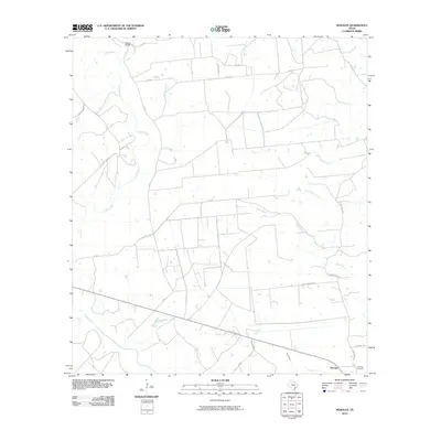 2010 Morales2010 Print · USGSCoastal plain ranching and small-town life in Jackson County are captured here at the start of the 2010s. Researchers can trace family roots at Partridge Cemetery and locate historic crossings like Wallace Bridge or the rural settlement of Morales.
 - 2010 Map of La Salle, 2010 Print
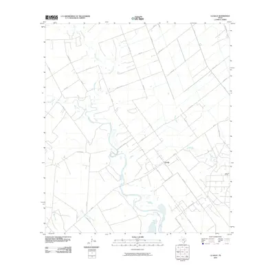 2010 La Salle2010 Print · USGSCoastal Texas ranching and oil extraction define the landscape around La Salle during the early twenty-first century. Genealogists and local historians can trace family land and rural infrastructure along Garcitas Creek, H K Ranch Rd, and the Vanderbilt Oil Field.
 - 2010 Map of Cordele, 2010 Print
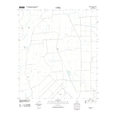 2010 Cordele2010 Print · USGSJackson County ranching and energy landscapes are captured here in the decade following the turn of the century. Genealogists and local historians can locate family landmarks like Gandy Cemetery, Miller Cemetery, and the Morales Gas Field along the Navidad River.
 - 2010 Map of Francitas NW, 2010 Print
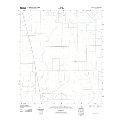 2010 Francitas NW2010 Print · USGSThe coastal prairies of Jackson County are shown in the early 2000s, where petroleum extraction meets traditional Texas ranching. Researchers can trace the legacy of local families through roads like Roman Vyvial Rd and Kudelka Rd near the Ganado Oil Field.
 - 2010 Map of Navidad, 2010 Print
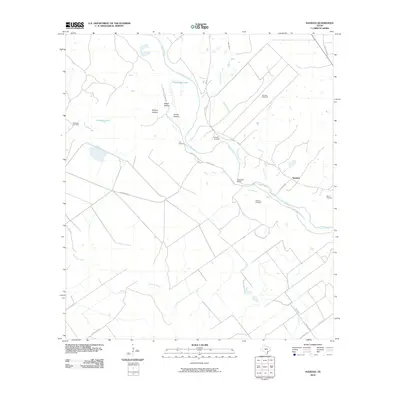 2010 Navidad2010 Print · USGSCoastal prairie life in Jackson County during the early twenty-first century is defined by the winding Lavaca River and rural ranching tracts. Researchers can trace local lineage through sites like Knopp Cemetery, Robinson Ranch, and the Navidad Gas Field.
 - 2010 Map of Olivia, 2010 Print
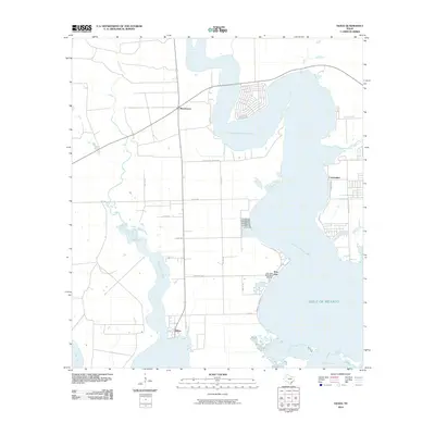 2010 Olivia2010 Print · USGSThe Texas coastline near the turn of the decade is captured here as it transitions from the inland prairies to the gulf. Genealogists and local historians can trace the layouts of small communities like Olivia and Port Alto or locate the Port Alto Boat Shed Marina.
 - 2010 Map of Kamey, 2010 Print
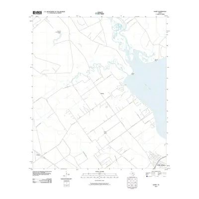 2010 Kamey2010 Print · USGSThe Texas coastline near Port Lavaca at the start of the decade shows a landscape of tidal inlets and rural development. Genealogists and researchers can trace local landmarks like Kamey, the Calhoun County Airport, and the waters of Garcitas Cove.
 - 2010 Map of Turtle Bay, 2010 Print
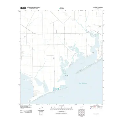 2010 Turtle Bay2010 Print · USGSThe Matagorda County coast comes alive in this survey of the bays and sloughs south of Palacios. Genealogists and local historians can trace the developments at El Campo Club Community or locate landmarks like Lund Motte Shell Beach and At Last Marina.
 - 2010 Map of Edna, 2010 Print
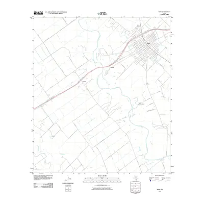 2010 Edna2010 Print · USGSJackson County is documented here at the turn of the decade, centered on the hub of Edna. Local historians can trace family roots through Prairie City Cemetery or locate the historic sites of Matilda and Camp Independence along the Lavaca River.
 - 2010 Map of Peck Branch, 2010 Print
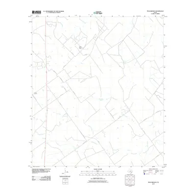 2010 Peck Branch2010 Print · USGSDeWitt County in the early twenty-first century remains a landscape of sprawling cattle ranches and rural family heritage. Researchers can trace land boundaries and local history through features like Fordtran Cemetery, the Dobbs Ranch Airport, and the meandering Arenosa Creek.
 - 2010 Map of La Ward, 2010 Print
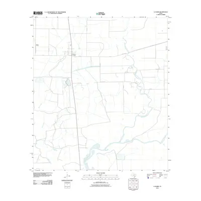 2010 La Ward2010 Print · USGSCoastal Jackson County is captured here in the early twenty-first century, centered on the ranching community of La Ward. Trace the local waterways of West Carancahua Creek as they feed into Carancahua Bay near landmarks like Whites Airport.
 - 2010 Map of Ganado NE, 2010 Print
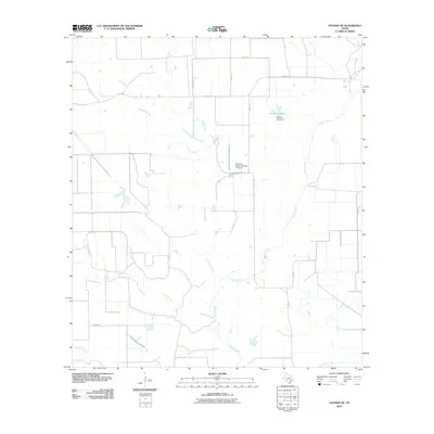 2010 Ganado NE2010 Print · USGSCoastal Texas ranch lands are captured here in the early 2000s, showing a landscape defined by seasonal creek branches and private aviation. Researchers can trace land use around Stovall Ranch Number 1 Airport or follow the waters of Hutchins Lake and Goldenrod Creek.
 - 2010 Map of El Campo SE, 2010 Print
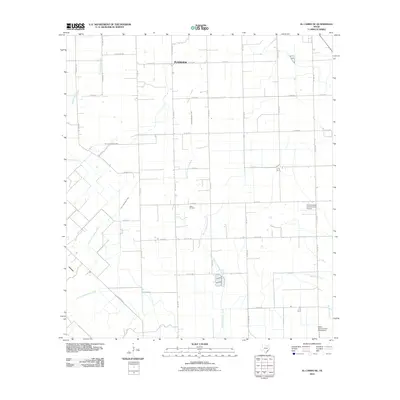 2010 El Campo SE2010 Print · USGSThe coastal prairie of Wharton County is documented here in the early twenty-first century as a landscape of agriculture and industry. Genealogists and researchers can trace local family routes like Michna Rd and find landmarks such as the Hillje Oil Field and Plainview.
 - 2010 Map of Lolita, 2010 Print
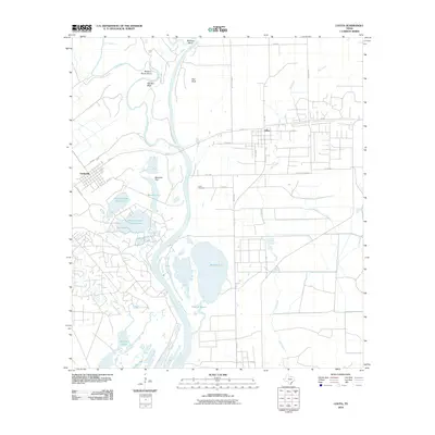 2010 Lolita2010 Print · USGSCoastal Texas river systems meet rural industry in the decade after the millennium. Genealogists and local historians can trace family roots at Lolita Cemetery or explore the geography of Menefee Flat and Buzzard Roost Bend along the Lavaca River.
 - 2010 Map of Manson, 2010 Print
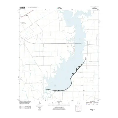 2010 Manson2010 Print · USGSCoastal Texas riverlands come alive in this Jackson County survey, showing the confluence of the Navidad River and Mustang Creek. Genealogists and local historians can locate the Brackenridge Cemetery and trace the legacy of the Texana Oil Field.
 - 2010 Map of Francitas NE, 2010 Print
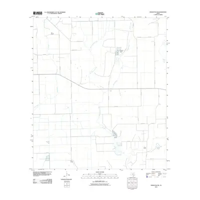 2010 Francitas NE2010 Print · USGSMatagorda County during the early twenty-first century shows a landscape defined by coastal drainage and oil extraction. Genealogists and researchers can trace local family land use near the Little Kentucky Oil Field, Midfield Oil Field, and Reservoir Number 4 Dam.
 - 2010 Map of Mount Olive, 2010 Print
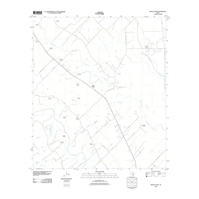 2010 Mount Olive2010 Print · USGSJackson County at the start of the decade reveals a landscape where the river forks meet oil production and deep-rooted family history. Genealogists can locate over a dozen burial sites including Enon Cemetery, Manly Cemetery, and the Cordele Oil Field.
 - 2010 Map of Francitas, 2010 Print
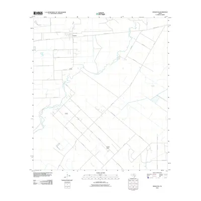 2010 Francitas2010 Print · USGSCoastal prairie life in Jackson County is captured here in the early twenty-first century as ranching and oil interests define the landscape. Researchers can trace family names and local landmarks like the Francitas Cemetery, Francitas Oil Field, and the Kubecka Aviation Airport.
 - 2010 Map of Inez, 2010 Print
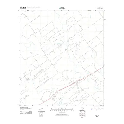 2010 Inez2010 Print · USGSCoastal plain ranching and rural life near the Victoria-Jackson county line are preserved here at the start of the 2010s. Researchers can locate family landmarks like Bischoff Cemetery and trace the paths of Arenosa Creek and Garcitas Creek.
 - 2010 Map of Louise, 2010 Print
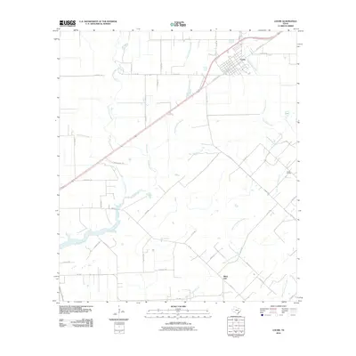 2010 Louise2010 Print · USGSThe coastal prairies of Jackson County come into focus in this modern era survey of Louise and the surrounding ranchlands. Genealogists and researchers can trace local property access and legacy routes such as Krenek Rd or the industrial footprint of the Louise Oil Field.
 - 2010 Map of Gobbler Creek, 2010 Print
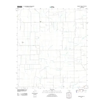 2010 Gobbler Creek2010 Print · USGSWharton County’s coastal prairie landscape is captured here in the early twenty-first century, centered on the community of Round Mott. Genealogists and local historians can trace the rural road network to Procopius Cemetery or follow the drainage of Chaco Slough.
 - 2010 Map of Ganado, 2010 Print
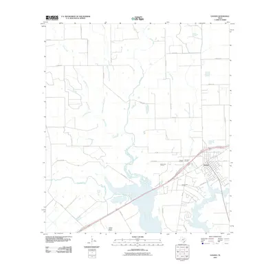 2010 Ganado2010 Print · USGSCoastal Texas ranching and oil production are at the forefront of this Jackson County survey from the early 2010s. Researchers can trace family history at Assumption Cemetery or explore the development of the Sandy Creek Oil Field and the Jackson County Airport.
 - 2013 Map of La Ward, 2013 Print
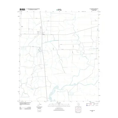 2013 La Ward2013 Print · USGSThe Texas coastal prairie near Jackson County comes to life in this survey of the area around the settlement of La Ward. Genealogists and historians can trace local transportation networks like FM-616 and aviation sites such as Whites Airport near the marshy reaches of W Carancahua Cr.
Showing maps 1-25 of 120
Top cities of Jackson County
Frequently asked questions
- What are the different types of historical maps available for Jackson County?
- What is the oldest map of Jackson County?
- Where can I purchase historical maps of Jackson County for my home or office?
- Where can I download high-res historical maps of Jackson County?
- Are there historical topographic maps available for Jackson County?
- Is there historical aerial imagery available for Jackson County?
- Where are historical maps of Jackson County sourced from?