2000s (21st Century) Maps of Kaufman County, Texas
Explore 120 historic maps of Kaufman County from the 2000s (21st Century). These maps offer a rare glimpse into what life looked like during the 2000s — showing old roads, neighborhoods, homes, and landmarks that have changed or disappeared over time.
Whether you're researching your family's past, planning a metal detecting trip, or studying how Kaufman County's landscape evolved across the 2000s, these high-resolution maps are a powerful tool for exploring the history of this region.
- Focus on a specific era: All maps on this page are from the 2000s, giving you a focused view of this time period.
- See what’s changed: Compare century-old streets, trails, and buildings to today's modern landscape using overlays and satellite layers.
- Research with precision: Use these maps for genealogy, historical research, land use analysis, or educational projects.
- View, download, or print: Maps are fully viewable online in high resolution, and can be downloaded or printed for your own records.
Start exploring Kaufman County's history through authentic maps from the 2000s. This is your window into the past.
Kaufman County, TX maps
(120)- 2010 Map of Elmo, 2010 Print
 2010 Elmo2010 Print · USGSKaufman County settlements and water projects come into focus in this study from the early twenty-first century. Researchers can trace local lineage near Elmo and College Mound, or locate rural landmarks like Elmo Cemetery and Tankersley Lake.
 - 2010 Map of Bristol, 2010 Print
 2010 Bristol2010 Print · USGSNorth of Ennis during the early twenty-first century, this area of Ellis County shows a landscape of cattle ranching and small-town Texas life. Researchers can trace local lineage at Norman Cemetery and Crisp Cemetery, or locate the rural junctions of Bristol and Alsdorf.
 - 2010 Map of Grays Prairie, 2010 Print
 2010 Grays Prairie2010 Print · USGSKaufman County's prairie landscape is documented here in the early twenty-first century as a network of engineered water systems and rural crossroads. Genealogists and local historians can trace family-named landmarks and small communities like Grays Prairie, Lively, and Stubbs.
 - 2010 Map of Rosser, 2010 Print
 2010 Rosser2010 Print · USGSThe Trinity River bottomlands come into focus in 2010, showing the rural communities of Rosser and Peeltown along the river's winding path. Researchers can trace family history at Rosser Cemetery or explore the landscape of Deadman Slough and Huggins Lake.
 - 2010 Map of Seagoville, 2010 Print
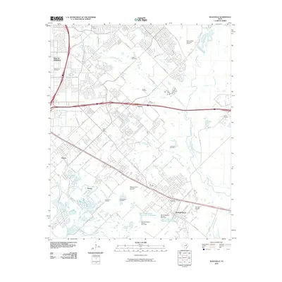 2010 Seagoville2010 Print · USGSSoutheast Dallas County is shown here at the start of the twenty-first century as suburban growth reaches the Trinity River bottomlands. Researchers can trace historic family burial sites like Frost Cemetery and Lumley Cemetery alongside the sprawling Seagoville Federal Correctional Institution.
 - 2010 Map of Styx, 2010 Print
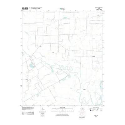 2010 Styx2010 Print · USGSThe Trinity River valley in Henderson County is captured here at the turn of the millennium, showing a landscape defined by small rural settlements and old family cemeteries. Genealogists and historians can trace the locations of Ware Cemetery, Styx, and the river landing at Porters Bluff.
 - 2010 Map of Rosser SW, 2010 Print
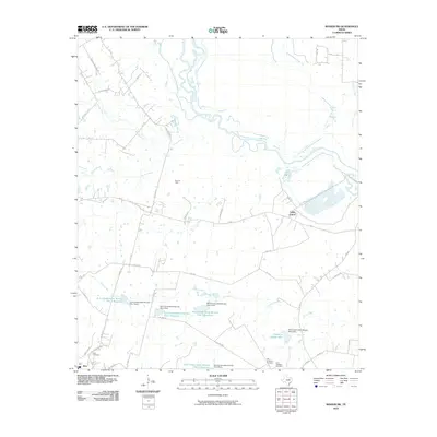 2010 Rosser SW2010 Print · USGSNavarro County's rural landscape is captured here in the early twenty-first century as the Trinity River winds through its northern reaches. Genealogists and local historians can locate the Old Chatfield Cemetery, Rice Cemetery, and the nearby Rice Oil Field.
 - 2010 Map of Wills Point, 2010 Print
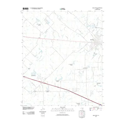 2010 Wills Point2010 Print · USGSVan Zandt County at the turn of the decade reveals a landscape where municipal water needs and rural homesteads intersect. Genealogists and local historians can trace family roots at New Salem Cemetery, Greenwood Cemetery, and the old settlement of Hiram.
 - 2010 Map of Cedarvale, 2010 Print
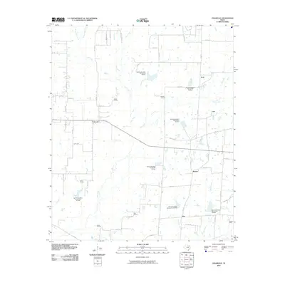 2010 Cedarvale2010 Print · USGSVan Zandt County at the turn of the century shows a landscape of small farming communities and managed watersheds. Researchers can locate family heritage sites like Heidle Cemetery and Brewer Cemetery or trace the early paths of Cana, Cedarvale, and Watkins.
 - 2010 Map of Ola, 2010 Print
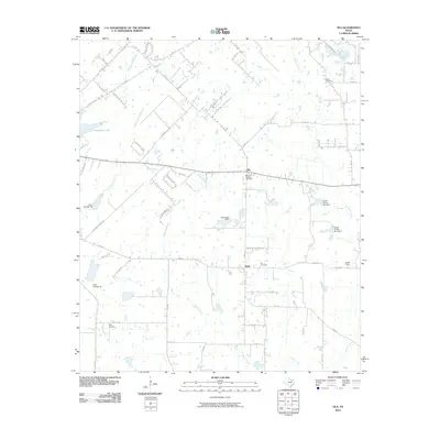 2010 Ola2010 Print · USGSThis Kaufman County community near the turn of the decade illustrates the enduring rural character of North Texas. Genealogists and historians can trace family locations through Morrow Chapel Cemetery, the settlement of Ola, and the Fair Oil Field.
 - 2010 Map of Terrell North, 2010 Print
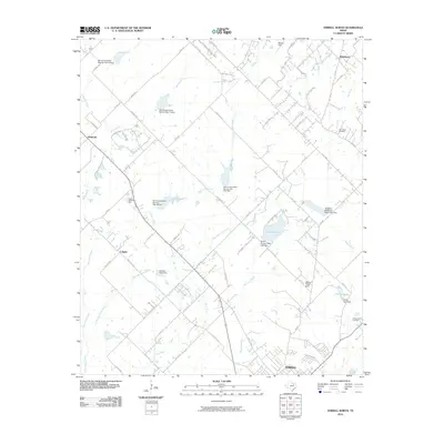 2010 Terrell North2010 Print · USGSThe rural expanses north of Terrell come into focus in the early twenty-first century, showing a landscape of family farms and emerging aviation strips. Genealogists and local historians can trace the community through the Walter C Porter Farm and Dry Creek Cemetery.
 - 2010 Map of Terrell South, 2010 Print
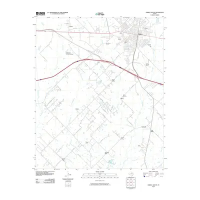 2010 Terrell South2010 Print · USGSKaufman County as it appeared in the early 21st century reveals a landscape shaped by the southern growth of Terrell into the surrounding prairie. Genealogists can locate several family and community burial sites, including Easton Cemetery, Oakland Cemetery, and Post Oak Bend Cemetery.
 - 2010 Map of Kaufman, 2010 Print
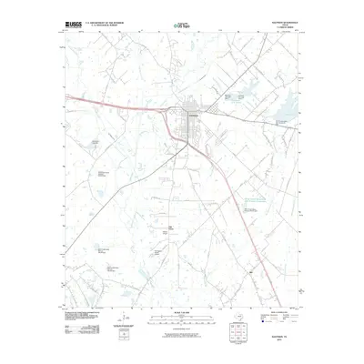 2010 Kaufman2010 Print · USGSKaufman and its surrounding prairie were undergoing steady transformation into a modern agricultural and transit hub by the early twenty-first century. Genealogists and researchers can trace the rural communities of Oak Grove and Jiba, alongside family-named landmarks like Thompson Ranch Airport.
 - 2010 Map of Forney South, 2010 Print
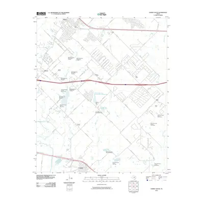 2010 Forney South2010 Print · USGSSoutheast of the Dallas metroplex in the early twenty-first century, this area reveals a landscape of managed waterways and growing rural communities. Researchers can trace family sites at Shipley or Blackland and locate landmarks like Sunset Airport and Markout.
 - 2010 Map of India, 2010 Print
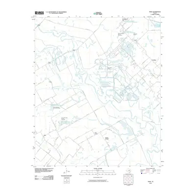 2010 India2010 Print · USGSSoutheast of Dallas in the late 2000s, this area shows a landscape of river sloughs and small settlements. Genealogists can locate family landmarks like Grange Hill Cemetery or Pruitt Cemetery and trace the winding Trinity River.
 - 2010 Map of Mabank, 2010 Print
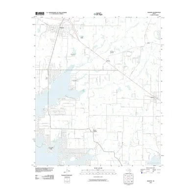 2010 Mabank2010 Print · USGSMabank and the northern shores of the reservoir are documented here in the early twenty-first century. Researchers can locate local burial sites like Goshen Cemetery and family-named landmarks including John Santerre Lake Dam.
 - 2010 Map of Prairieville, 2010 Print
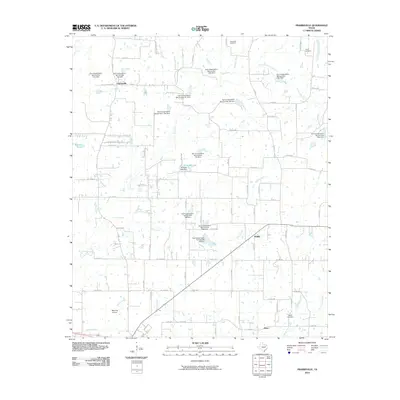 2010 Prairieville2010 Print · USGSPrairieville and the surrounding East Texas countryside are captured here in the early twenty-first century as a landscape of managed waterways and rural settlements. Genealogists and historians can locate family burial grounds at Beard Cemetery and Traver Cemetery or trace the drainage of Lacy Fork.
 - 2010 Map of Poetry, 2010 Print
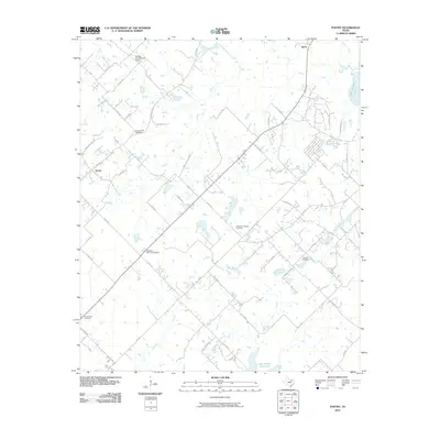 2010 Poetry2010 Print · USGSHunt County at the turn of the decade preserves its quiet rural layout and deep-rooted family landmarks. Genealogists and local historians can trace the locations of Campground Cemetery, Poetry, and the Phillips Flying Ranch Airport across this agricultural landscape.
 - 2010 Map of Scurry, 2010 Print
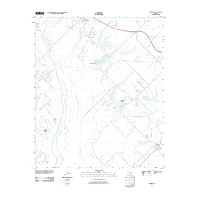 2010 Scurry2010 Print · USGSKaufman County's rural landscape is captured here in the early twenty-first century, showing the developed corridor between several small Texas towns. Genealogists and local historians can locate the Mount Olive Cemetery and trace land features from Rainbow Ridge to the Thunderbird Racetrack.
 - 2011 Map of Ables Springs, 2011 Print
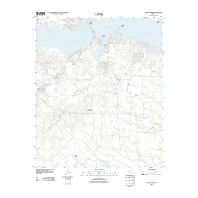 2011 Ables Springs2011 Print · USGSVan Zandt County at the turn of the decade shows the complex interplay between the rising waters of Lake Tawakoni and established rural communities. Genealogists can trace the location of family-named landmarks like Howell Cemetery and the settlement of Ables Springs.
 - 2011 Map of Mesquite, 2011 Print
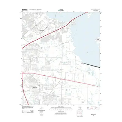 2011 Mesquite2011 Print · USGSThe rapid suburbanization of East Dallas is on display in the early 2000s as Mesquite and Garland expand. Genealogists and local historians can trace the footprint of older communities like Rose Hill and Tripp, or locate family sites at Lyons Cemetery.
 - 2011 Map of Forney North, 2011 Print
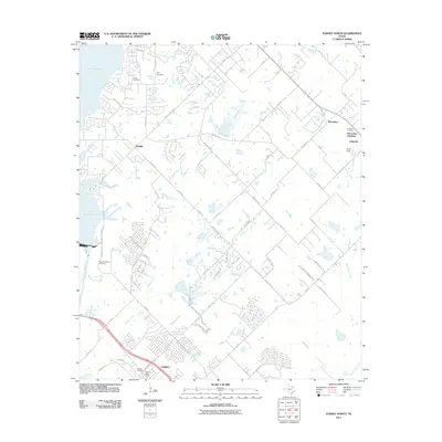 2011 Forney North2011 Print · USGSThe growing outskirts of Dallas meet the eastern shores of Lake Ray Hubbard in the early 2000s. Genealogists can trace family roots through several local burial sites, including Pleasant Spring Cemetery, Peck Cemetery, and Chisholm Cemetery.
 - 2011 Map of Tool, 2011 Print
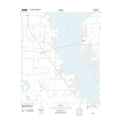 2011 Tool2011 Print · USGSHenderson County lake life and oil industry meet in the early 2000s along the shores of Cedar Creek Reservoir. Researchers can trace the development of Gun Barrel City and Tool while locating rural landmarks like Baker Cemetery and the Flag Lake Oil Field.
 - 2011 Map of Kemp, 2011 Print
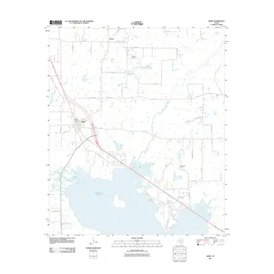 2011 Kemp2011 Print · USGSThe town of Kemp and the northern shoreline of the Cedar Creek Reservoir are documented here in the early twenty-first century. Genealogists and local historians can trace rural family sites near Becker, Lone Oak Cemetery, and the Ham-Gossett Oil Field.
 - 2012 Map of Cedarvale, 2012 Print
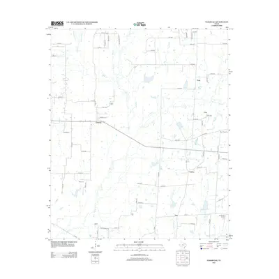 2012 Cedarvale2012 Print · USGSVan Zandt County in the early twenty-first century is a landscape of quiet communities and family landmarks interconnected by a dense web of farm-to-market roads. Genealogists can locate several historic burial grounds like Wesley Chapel Cem and Field Cem, or trace the winding course of Wolf Cr and Denton Cr.
Showing maps 1-25 of 120
Top cities of Kaufman County
- Forney historical maps
- Terrell historical maps
- Heartland historical maps
- Kaufman historical maps
- Crandall historical maps
- Talty historical maps
See more
Frequently asked questions
- What are the different types of historical maps available for Kaufman County?
- What is the oldest map of Kaufman County?
- Where can I purchase historical maps of Kaufman County for my home or office?
- Where can I download high-res historical maps of Kaufman County?
- Are there historical topographic maps available for Kaufman County?
- Is there historical aerial imagery available for Kaufman County?
- Where are historical maps of Kaufman County sourced from?