2010s Maps of Kent County, Texas
Explore 100 historic maps of Kent County from the 2010s. These maps offer a rare glimpse into what life looked like during the 2010s — showing old roads, neighborhoods, homes, and landmarks that have changed or disappeared over time.
Whether you're researching your family's past, planning a metal detecting trip, or studying how Kent County's landscape evolved across the 2010s, these high-resolution maps are a powerful tool for exploring the history of this region.
- Focus on a specific era: All maps on this page are from the 2010s, giving you a focused view of this time period.
- See what’s changed: Compare century-old streets, trails, and buildings to today's modern landscape using overlays and satellite layers.
- Research with precision: Use these maps for genealogy, historical research, land use analysis, or educational projects.
- View, download, or print: Maps are fully viewable online in high resolution, and can be downloaded or printed for your own records.
Start exploring Kent County's history through authentic maps from the 2010s. This is your window into the past.
Kent County, TX maps
(100)- 2010 Map of Gilpin, 2010 Print
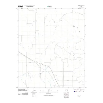 2010 Gilpin2010 Print · USGSThe ranchlands of Dickens County are documented here in the early twenty-first century as the landscape was mapped by the U.S. Geological Survey. Genealogists and historians can locate the Molly Bailey Windmill and trace the paths of Duck Creek near the settlement of Gilpin.
 - 2010 Map of Polar, 2010 Print
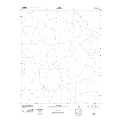 2010 Polar2010 Print · USGSKent County ranching country and the breaks of the Brazos River are captured here in the early twenty-first century. Genealogists and local historians can locate Polar Cemetery, trace the bounds of the Connell Ranch, and follow the path of McKenzie Creek.
 - 2010 Map of A B C Creek, 2010 Print
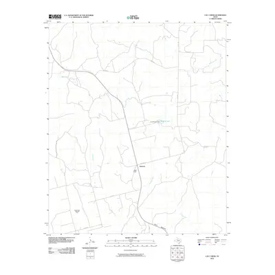 2010 A B C Creek2010 Print · USGSThe settlement of Harmony and the surrounding West Texas ranchlands are captured here in the early twenty-first century. Researchers can trace the industrial landscape of the Rough Draw North Oil Field or locate landmarks like Tater Hills and Devils Backbone.
 - 2010 Map of Hudd, 2010 Print
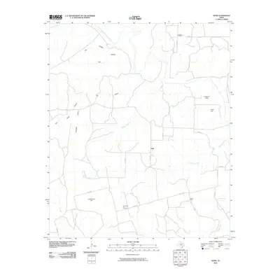 2010 Hudd2010 Print · USGSScurry County ranching country is documented here in the early twenty-first century as a landscape of isolated homesteads and deep canyons. Researchers can locate family landmarks like Criswell Ranch and historic burial sites at Cottonwood Flat Cemetery and Riverdale Cemetery.
 - 2010 Map of Gant Hills, 2010 Print
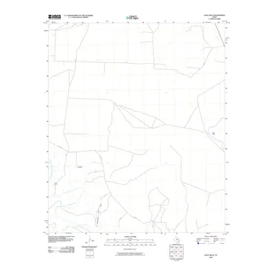 2010 Gant Hills2010 Print · USGSKent County ranch lands are captured here during the early twenty-first century, showing the intersection of river and range. Researchers can trace the Double Mountain Fork Brazos River, locate the remote South Camp, and find landmarks like Iron Trap Windmill.
 - 2010 Map of Girard, 2010 Print
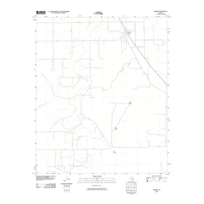 2010 Girard2010 Print · USGSGirard and the surrounding Kent County ranchlands are shown here in the early twenty-first century, characterized by an expansive network of prairie drainages. Researchers can locate specific water infrastructure and family-named sites like North Whatley Windmill and North Floyd Windmill along the banks of Duck Creek.
 - 2010 Map of Tige Canyon, 2010 Print
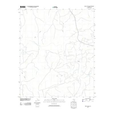 2010 Tige Canyon2010 Print · USGSStonewall County at the start of the twenty-first century reveals a landscape defined by the winding Double Mountain Fork Brazos River and energy extraction. Trace the rugged terrain through Tige Canyon and the Rough Draw Oil Field.
 - 2010 Map of T-O Creek, 2010 Print
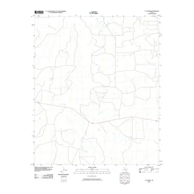 2010 T-O Creek2010 Print · USGSWest Texas ranch land is defined by its vital waterways in the early twenty-first century. Researchers can trace the winding paths of the Salt Fork Brazos River and White River, or navigate the rural backroads including FM 1081 and Co Rd 317.
 - 2010 Map of McKenzie Mountains, 2010 Print
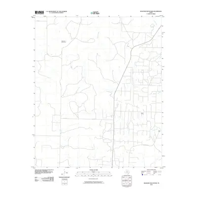 2010 McKenzie Mountains2010 Print · USGSScurry County ranching and energy production are on full display in this early 21st-century survey of the West Texas plains. Researchers can trace the sprawling boundaries of Fuller Ranch, the infrastructure of the Fuller Oil Field, and the seasonal paths of McKenzie Creek.
 - 2010 Map of Pursley House, 2010 Print
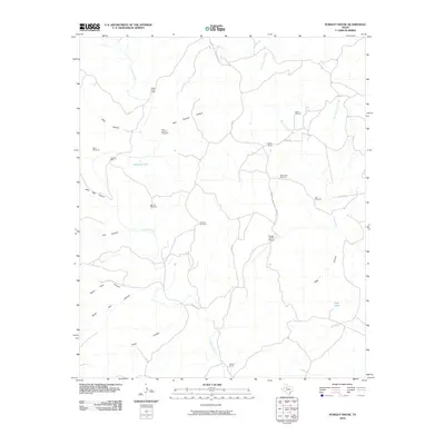 2010 Pursley House2010 Print · USGSKing County ranching culture and canyon topography are documented here in the early twenty-first century. Researchers can trace the layout of family-named landmarks and water infrastructure such as Pursley House, Beggs Ranch, and Keller Field Camp.
 - 2010 Map of Jayton North, 2010 Print
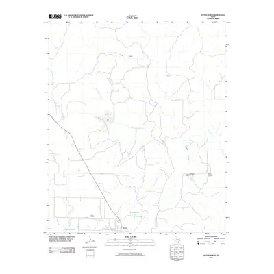 2010 Jayton North2010 Print · USGSThe Kent County plains are mapped here in the early twenty-first century, centered on the settlement of Jayton and its surrounding ranchlands. Genealogists can locate family sites near Red Mud Cemetery, Spur Memorial Cemetery, and the prominent Salt Flat.
 - 2010 Map of Cooper Mountain, 2010 Print
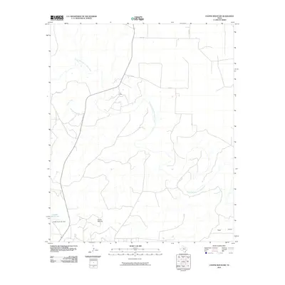 2010 Cooper Mountain2010 Print · USGSKent County ranching and river geography are on display in the early twenty-first century. Researchers can trace the Double Mountain Fork Brazos River and locate landmarks like Furr Ranch and Cooper Mountain.
 - 2010 Map of Maverick Creek, 2010 Print
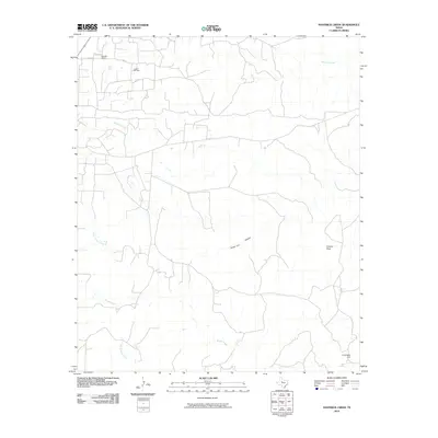 2010 Maverick Creek2010 Print · USGSScurry County ranch lands and oil fields are captured here in the early twenty-first century. Genealogists and local historians can locate Bowden Ranch, the sprawling Cogdell Oil Field, and natural landmarks like Church Peak.
 - 2010 Map of Clairemont East, 2010 Print
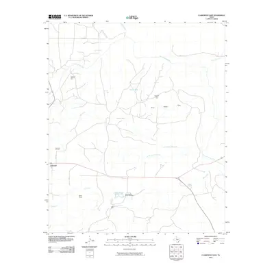 2010 Clairemont East2010 Print · USGSKent County ranchlands are documented here in the early twenty-first century, showing a landscape defined by the Brazos River and oil production. Researchers can locate the Clairemont Cemetery, trace the O Bar O Ranch, and see the extent of the Clairemont East Oil Field.
 - 2010 Map of Flat Top Mountain, 2010 Print
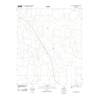 2010 Flat Top Mountain2010 Print · USGSScurry County ranch lands and petroleum interests are captured here during the first decade of the new millennium. Researchers can trace the legacy of local families through the Fuller Brothers L P Ranch and Williams Ranch, or locate the Lozone Oil Field near Fullerville.
 - 2010 Map of Twomile Creek, 2010 Print
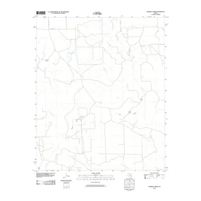 2010 Twomile Creek2010 Print · USGSGarza County ranch lands and the winding Salt Fork Brazos River are documented here in the early twenty-first century. Genealogists and historians can trace established homesteads and outposts like Swenson Ranch, Red Arroyo Camp, and the Bird Ranch.
 - 2010 Map of Cottonwood Creek, 2010 Print
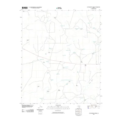 2010 Cottonwood Creek2010 Print · USGSTexas ranching culture is on full display in this early 2000s study of the Brazos River drainage. Genealogists and local historians can trace legacy properties like Bird Ranch or find distinct landmarks such as Schoolhouse Windmill and Beggs Ranch Airport.
 - 2010 Map of Jayton South, 2010 Print
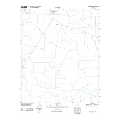 2010 Jayton South2010 Print · USGSJayton and the surrounding Kent County ranchlands are documented here during the first decade of the 2000s. Researchers can trace rural property access and water resources along the Salt Fork Brazos River, Jayton City Lake, and Kent County Airport.
 - 2010 Map of Spur NW, 2010 Print
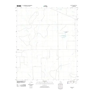 2010 Spur NW2010 Print · USGSTexas ranching country in Dickens County is documented here during the early twenty-first century, showing a landscape shaped by creek beds and water management. Researchers can trace the drainage of Red Mud Creek and locate landmarks like the Soil Conservation Service Site 11 Reservoir and Hale Lake.
 - 2010 Map of White Camp, 2010 Print
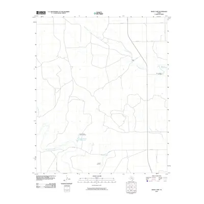 2010 White Camp2010 Print · USGSKent County ranching lands in the early twenty-first century reveal a landscape of managed water and remote outposts. Genealogists and local historians can trace family-named landmarks like Mrs J H Brown Lake and the settlement of White Camp.
 - 2010 Map of Justiceburg SE, 2010 Print
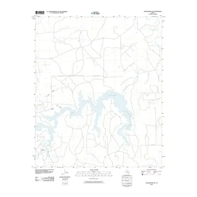 2010 Justiceburg SE2010 Print · USGSGarza County, Texas, was defined by its water resources and energy production in the early twenty-first century. Researchers can map the footprint of the Dorward Oil Field or trace the drainage of Lake Alan Henry and the Double Mountain Fork Brazos River.
 - 2010 Map of Smith Tank, 2010 Print
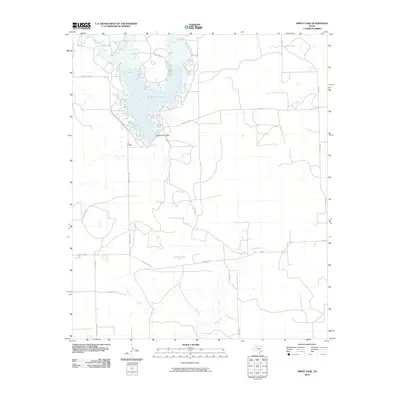 2010 Smith Tank2010 Print · USGSGarza County, Texas, is mapped here in the early twenty-first century, centered on the vital waters of White River Lake. Researchers can trace the rural road network including Chimney Creek Rd and locate landmarks like White River Dam and Smith Tank.
 - 2010 Map of Spur, 2010 Print
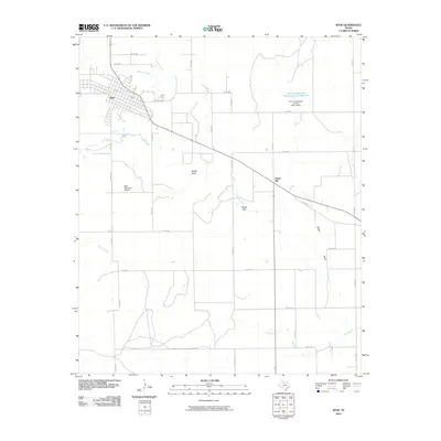 2010 Spur2010 Print · USGSSpur and the surrounding West Texas cattle country are captured in this 2010 survey of Dickens County. Researchers can trace the layout of Spur, the local aviation history at Spur Municipal Airport, and the terrain of the Steele Hills and Spade Draw.
 - 2010 Map of Clairemont West, 2010 Print
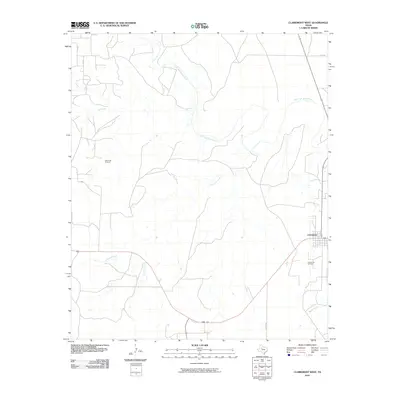 2010 Clairemont West2010 Print · USGSClairemont and the surrounding Kent County ranch lands are captured here in the early twenty-first century. Petroleum and cattle historians can trace the local economy through the Salt Creek Oil Field and the banks of the Salt Fork Brazos River.
 - 2010 Map of Spur SW, 2010 Print
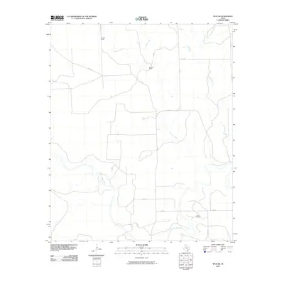 2010 Spur SW2010 Print · USGSKent County ranching and energy extraction are captured here during the early 2000s. Researchers can locate established family properties like Godfrey Ranch and map the landscape's industrial footprint at the Salt Creek Oil Field.
Showing maps 1-25 of 100
Top cities of Kent County
Frequently asked questions
- What are the different types of historical maps available for Kent County?
- What is the oldest map of Kent County?
- Where can I purchase historical maps of Kent County for my home or office?
- Where can I download high-res historical maps of Kent County?
- Are there historical topographic maps available for Kent County?
- Is there historical aerial imagery available for Kent County?
- Where are historical maps of Kent County sourced from?