2010s Maps of Lipscomb County, Texas
Explore 92 historic maps of Lipscomb County from the 2010s. These maps offer a rare glimpse into what life looked like during the 2010s — showing old roads, neighborhoods, homes, and landmarks that have changed or disappeared over time.
Whether you're researching your family's past, planning a metal detecting trip, or studying how Lipscomb County's landscape evolved across the 2010s, these high-resolution maps are a powerful tool for exploring the history of this region.
- Focus on a specific era: All maps on this page are from the 2010s, giving you a focused view of this time period.
- See what’s changed: Compare century-old streets, trails, and buildings to today's modern landscape using overlays and satellite layers.
- Research with precision: Use these maps for genealogy, historical research, land use analysis, or educational projects.
- View, download, or print: Maps are fully viewable online in high resolution, and can be downloaded or printed for your own records.
Start exploring Lipscomb County's history through authentic maps from the 2010s. This is your window into the past.
Lipscomb County, TX maps
(92)- 2010 Map of Barton Corners, 2010 Print
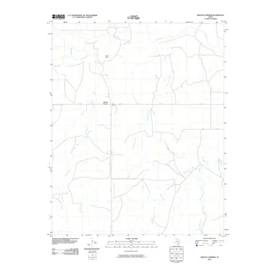 2010 Barton Corners2010 Print · USGSBarton Corners and the surrounding ranch lands of the Texas Panhandle are captured here during the first decade of the new millennium. Researchers can trace the drainage patterns of Wolf Creek and locate rural landmarks like Paine Draw or the junction at FM 3260.
 - 2010 Map of Glazier, 2010 Print
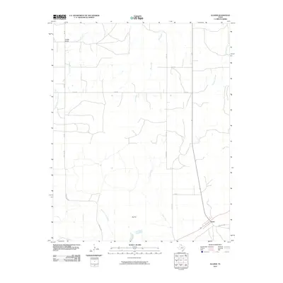 2010 Glazier2010 Print · USGSThe high plains of the Texas Panhandle are documented here during the early twenty-first century, showing a landscape of scattered ranching settlements and winding creek beds. Researchers can trace the rural infrastructure around Locust Grove and Glazier, or locate landmarks like Big Flat and Cottonwood Creek.
 - 2010 Map of Barton Creek, 2010 Print
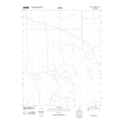 2010 Barton Creek2010 Print · USGSThe Texas Panhandle's ranching country is captured here in the early twenty-first century, showing the rural landscape of Lipscomb County. Researchers can trace the drainage of Barton Creek and Morgan Creek or locate the settlement area of Locust Grove.
 - 2010 Map of Coburn, 2010 Print
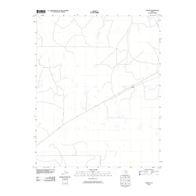 2010 Coburn2010 Print · USGSThe Texas Panhandle near the Oklahoma border is shown here in the early twenty-first century, revealing a landscape of high plains ranching. Genealogists and local historians can trace rural routes like Bill Hext and identify landmarks near Coburn and Canyon Creek.
 - 2010 Map of Skunk Creek, 2010 Print
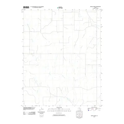 2010 Skunk Creek2010 Print · USGSLipscomb County at the turn of the twenty-first century reveals a landscape defined by ranch roads and winding panhandle waterways. Researchers can trace the drainages of Skunk Creek and Wolf Creek or follow the path of FM 1454 through the plains.
 - 2010 Map of Follett, 2010 Print
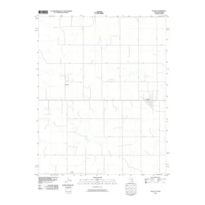 2010 Follett2010 Print · USGSThe Texas Panhandle town of Follett is captured here in the early twenty-first century, showing its grid-style development amidst the surrounding agricultural plains. Genealogists and local historians can locate Fairview Cemetery and the settlement of Sherlock.
 - 2010 Map of Twin Grove, 2010 Print
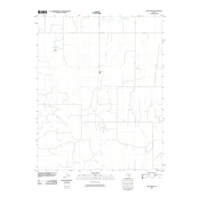 2010 Twin Grove2010 Print · USGSLipscomb County at the start of the 21st century remains a classic Texas Panhandle landscape defined by remote ranch roads and seasonal creek beds. Researchers can trace the water infrastructure and local travel routes through Twin Grove, following Uncle Sam Rd to Miller Lake and Deeds Reservoir.
 - 2010 Map of Dugout Creek, 2010 Print
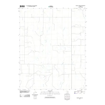 2010 Dugout Creek2010 Print · USGSThe High Plains of the Texas Panhandle are documented here during the early twenty-first century, showing a landscape defined by ranch roads and seasonal watercourses. Researchers can trace the drainages of Dugout Creek, Fifth Creek, and Chicken Creek alongside local routes like Uncle Sam Rd.
 - 2010 Map of Booker, 2010 Print
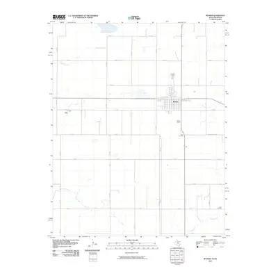 2010 Booker2010 Print · USGSThe community of Booker sits at the intersection of High Plains agriculture and the Texas-Oklahoma border. Family historians can locate rural landmarks such as Heart Cemetery, Kiowa Cemetery, and the old route of the Old Darrouzett Hwy.
 - 2010 Map of Follett SE, 2010 Print
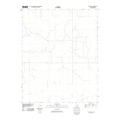 2010 Follett SE2010 Print · USGSEllis County at the turn of the decade is documented here as a landscape defined by its essential watercourses and rural road networks. Researchers can trace the winding path of Mammoth Creek or locate property access points along FM 3004 and CO RD N.
 - 2010 Map of Gaylord, 2010 Print
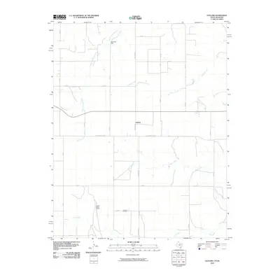 2010 Gaylord2010 Print · USGSThe Texas Panhandle near the Oklahoma border is shown here in the early twenty-first century as a landscape of wide-open ranch land and creek breaks. Trace the winding paths of North Fork Kiowa Creek or locate local landmarks like View Point Cemetery and Bean Pott Cliff.
 - 2010 Map of Darrouzett, 2010 Print
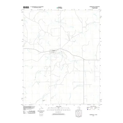 2010 Darrouzett2010 Print · USGSDarrouzett and the surrounding ranchlands of the Texas Panhandle are captured here during the first decade of the millennium. Researchers can trace rural landmarks and drainage patterns along Kiowa Creek or locate local sites like the Duke Ranch Airport and Darrouzett.
 - 2010 Map of Lake Fryer NE, 2010 Print
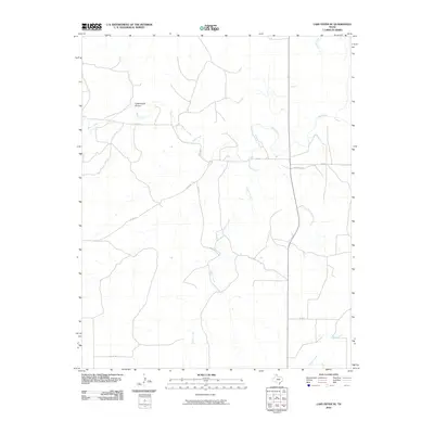 2010 Lake Fryer NE2010 Print · USGSThe Texas Panhandle's ranching country comes into focus in this early twenty-first-century survey of Lipscomb County. Researchers can trace the drainage patterns of Wolf Creek and Cottonwood Arroyo alongside the rural grid of CO RD 29 and CO RD V.
 - 2010 Map of Booker SE, 2010 Print
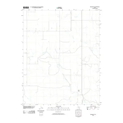 2010 Booker SE2010 Print · USGSLipscomb County ranching country at the start of the 2010s shows a landscape of expansive acreage and sparse private infrastructure. Researchers can trace the drainage of Gilhula Creek and find family-related landmarks like the Figure 1 Ranch Airport or Uncle Sam Rd.
 - 2010 Map of Lipscomb SW, 2010 Print
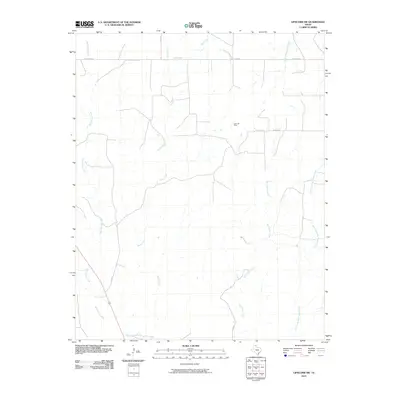 2010 Lipscomb SW2010 Print · USGSLipscomb County in the early twenty-first century reveals a landscape of energy production and ranching. Researchers can trace the drainage of Big Timber Creek and Horse Creek or locate local landmarks like the Kelln Oil Field and Locust Grove.
 - 2010 Map of Magoun, 2010 Print
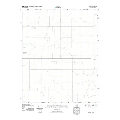 2010 Magoun2010 Print · USGSUpper Lipscomb County is shown here at the turn of the millennium, characterized by its vast agricultural grid and the winding path of Ivanhoe Creek. Family historians can locate the Fairmont Cemetery and the settlement of Magoun along this remote stretch of the Texas-Oklahoma border.
 - 2010 Map of Willow Creek, 2010 Print
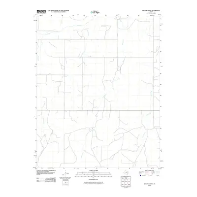 2010 Willow Creek2010 Print · USGSThe high plains of the Texas Panhandle are captured here at a time when cattle ranching and seasonal creek beds defined the local landscape. Genealogists and historians can trace family land via named routes like Tyson Ranch Rd and Kirk Ranch Rd or follow the waters of Wolf Creek.
 - 2010 Map of Lipscomb, 2010 Print
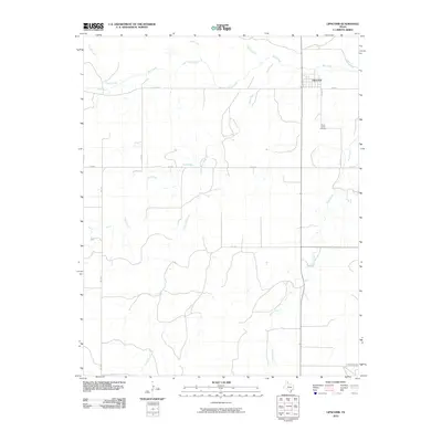 2010 Lipscomb2010 Print · USGSThe rural Texas Panhandle around the town of Lipscomb is captured here in the early twenty-first century. Genealogists and researchers can trace local family roots at Saint Johns Cemetery and follow the drainage of Wolf Creek or the path of Kirk Ranch Rd.
 - 2010 Map of Higgins South, 2010 Print
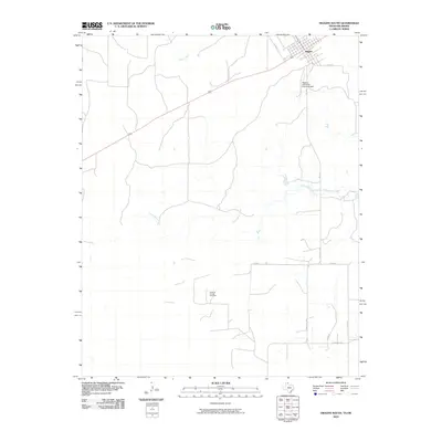 2010 Higgins South2010 Print · USGSThe Texas-Oklahoma borderlands around the town of Higgins are captured here in the early twenty-first century. Genealogists and local historians can trace the rural landscape from Higgins-Lipscomb County Airport to the Feldman Oil and Gas Field.
 - 2010 Map of Higgins North, 2010 Print
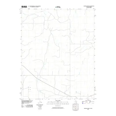 2010 Higgins North2010 Print · USGSLipscomb County at the turn of the 21st century reveals a structured landscape of rural ranch roads and seasonal prairie streams. Genealogists and land researchers can trace property boundaries and local travel routes via CO RD 29 and watercourses like Wolf Creek and Long Creek.
 - 2010 Map of Clear Lake SE, 2010 Print
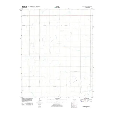 2010 Clear Lake SE2010 Print · USGSBeaver County, Oklahoma, is depicted here as a vast grid of section-line roads and intermittent plains drainages in the early 2000s. Genealogists and historians can trace the paths of Don Jose Creek, Sand Creek, and Coon Creek across this rural landscape.
 - 2010 Map of Elmwood, 2010 Print
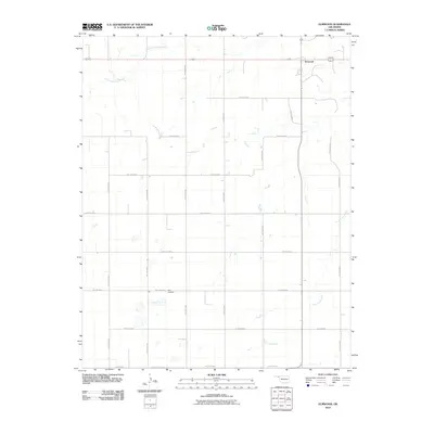 2010 Elmwood2010 Print · USGSThe Oklahoma Panhandle is shown in this early twenty-first century study of the area surrounding Elmwood. Genealogists and local historians can trace family roots at Kirby Cemetery or follow the paths of South Fork Clear Creek and Duck Pond Creek.
 - 2010 Map of Clear Lake SW, 2010 Print
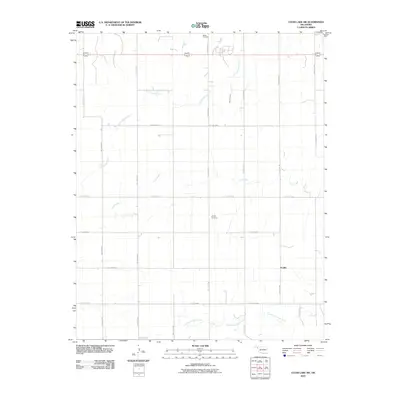 2010 Clear Lake SW2010 Print · USGSThe Oklahoma Panhandle near Sophia is captured here in the early twenty-first century, showing a landscape of persistent rural character. Local historians can trace family land and burial sites at Sophia Cemetery or follow the paths of Duck Pond Creek and Coon Creek.
 - 2012 Map of Clear Lake SW, 2012 Print
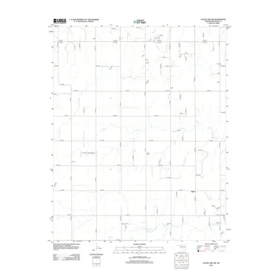 2012 Clear Lake SW2012 Print · USGSThe Oklahoma Panhandle near Sophia is captured in this modern survey, showing a landscape defined by deep-rooted ranching history and High Plains drainage. Genealogists can locate family sites near Barler Cem, Sophia Cem, and Mtn View Cem.
 - 2012 Map of Elmwood, 2012 Print
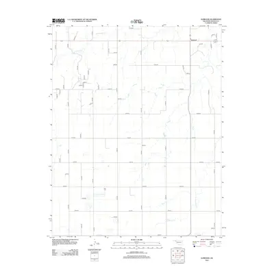 2012 Elmwood2012 Print · USGSElmwood and the surrounding high plains of the Oklahoma Panhandle are shown here in the early twenty-first century. Genealogists and local historians can locate the Kirby Cem or trace the drainages of Duck Pond Cr and S Fork Clear Cr.
Showing maps 1-25 of 92
Top cities of Lipscomb County
Frequently asked questions
- What are the different types of historical maps available for Lipscomb County?
- What is the oldest map of Lipscomb County?
- Where can I purchase historical maps of Lipscomb County for my home or office?
- Where can I download high-res historical maps of Lipscomb County?
- Are there historical topographic maps available for Lipscomb County?
- Is there historical aerial imagery available for Lipscomb County?
- Where are historical maps of Lipscomb County sourced from?