2000s (21st Century) Maps of Midland County, Texas
Explore 100 historic maps of Midland County from the 2000s (21st Century). These maps offer a rare glimpse into what life looked like during the 2000s — showing old roads, neighborhoods, homes, and landmarks that have changed or disappeared over time.
Whether you're researching your family's past, planning a metal detecting trip, or studying how Midland County's landscape evolved across the 2000s, these high-resolution maps are a powerful tool for exploring the history of this region.
- Focus on a specific era: All maps on this page are from the 2000s, giving you a focused view of this time period.
- See what’s changed: Compare century-old streets, trails, and buildings to today's modern landscape using overlays and satellite layers.
- Research with precision: Use these maps for genealogy, historical research, land use analysis, or educational projects.
- View, download, or print: Maps are fully viewable online in high resolution, and can be downloaded or printed for your own records.
Start exploring Midland County's history through authentic maps from the 2000s. This is your window into the past.
Midland County, TX maps
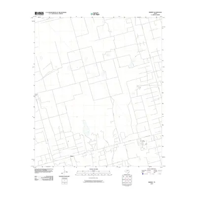
(100)- 2010 Map of Benge Corner NW, 2010 Print
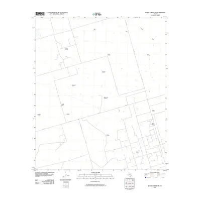 2010 Benge Corner NW2010 Print · USGSCovers Midland County, including Pegasus, Upton County, and other nearby areas
 - 2010 Map of Salt Lake, 2010 Print
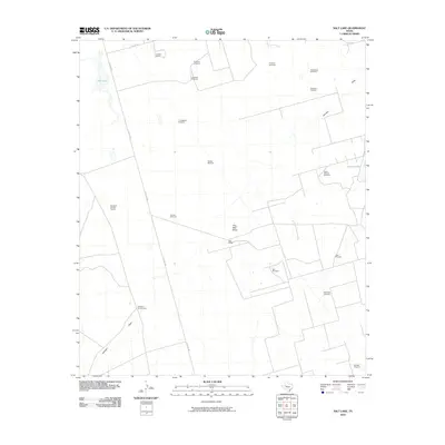 2010 Salt Lake2010 Print · USGSCovers Midland County, including Ingram, United States, and other nearby areas
 - 2010 Map of Parks, 2010 Print
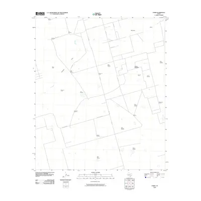 2010 Parks2010 Print · USGSCovers Midland County, including Estes, Corner Windmill, and other nearby areas
 - 2010 Map of Bryant Ranch, 2010 Print
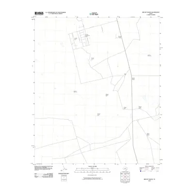 2010 Bryant Ranch2010 Print · USGSCovers Midland County, including United States, Texas, and other nearby areas
 - 2010 Map of Midkiff, 2010 Print
 2010 Midkiff2010 Print · USGSCovers Midland County, including Midkiff, Glasscock County, and other nearby areas
 - 2010 Map of Hackberry Lake, 2010 Print
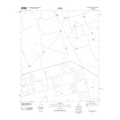 2010 Hackberry Lake2010 Print · USGSCovers Midland County, including Gardendale, Whittenburg Ranch, and other nearby areas
 - 2010 Map of South Cowden Ranch, 2010 Print
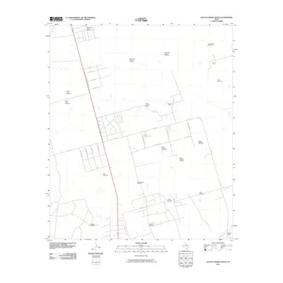 2010 South Cowden Ranch2010 Print · USGSCovers Midland County, including Wilson's Corner, Ragsdale, and other nearby areas
 - 2010 Map of Benge Corner, 2010 Print
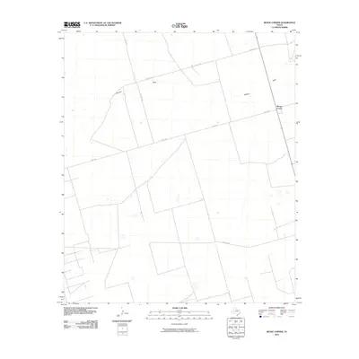 2010 Benge Corner2010 Print · USGSCovers Midland County, including Benge Corner, Tubb, and other nearby areas
 - 2010 Map of Midkiff NW, 2010 Print
 2010 Midkiff NW2010 Print · USGSCovers Midland County, including Dameron, Upton County, and other nearby areas
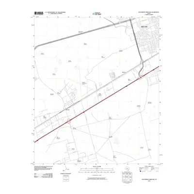
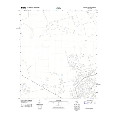
 - 2010 Map of Southeast Midland, 2010 Print
 2010 Southeast Midland2010 Print · USGSCovers Midland County, including Midland, Cotton Flat, and other nearby areas
 - 2010 Map of Germania, 2010 Print
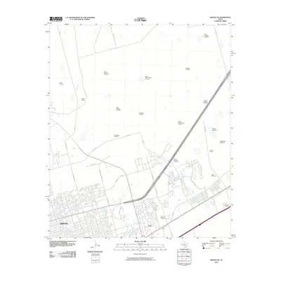
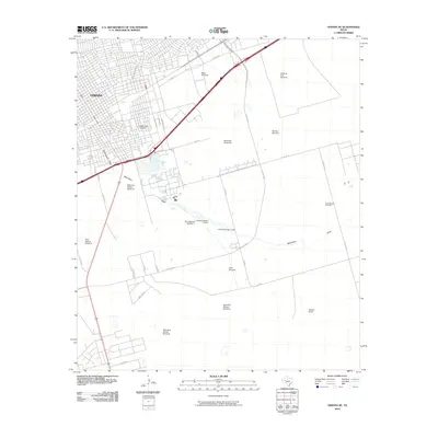
 2010 Germania2010 Print · USGSCovers Midland County, including Greenwood, Martin County, and other nearby areas
 - 2010 Map of Stanton SE, 2010 Print
 2010 Stanton SE2010 Print · USGSCovers Midland County, including Stanton, Dwight, and other nearby areas
 - 2010 Map of Southwest Midland, 2010 Print
 2010 Southwest Midland2010 Print · USGSCovers Midland County, including Midland, Odessa, and other nearby areas
 - 2010 Map of Spraberry, 2010 Print
 2010 Spraberry2010 Print · USGSCovers Midland County, including Stokes, Spraberry, and other nearby areas
 - 2010 Map of Northwest Midland, 2010 Print
 2010 Northwest Midland2010 Print · USGSCovers Midland County, including Midland, Saddle Club Ranch Estates, and other nearby areas
 - 2010 Map of Pecks Lake, 2010 Print
 2010 Pecks Lake2010 Print · USGSCovers Midland County, including Pecks, Glasscock County, and other nearby areas
 - 2010 Map of Odessa NE, 2010 Print
 2010 Odessa NE2010 Print · USGSCovers Midland County, including Midland, Odessa, and other nearby areas
 - 2010 Map of Odessa SE, 2010 Print
 2010 Odessa SE2010 Print · USGSCovers Midland County, including Odessa, Double Tree Ranch, and other nearby areas
 - 2010 Map of Stephenson Lake, 2010 Print
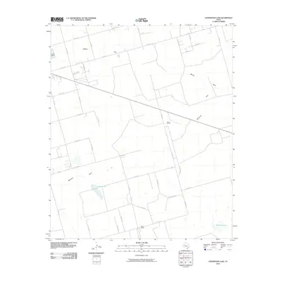 2010 Stephenson Lake2010 Print · USGSCovers Midland County, including Stephenson, Azalea Oil Field, and other nearby areas
 - 2010 Map of Northeast Midland, 2010 Print
 2010 Northeast Midland2010 Print · USGSCovers Midland County, including Midland, Chub, and other nearby areas
 - 2012 Map of Hackberry Lake, 2012 Print
 2012 Hackberry Lake2012 Print · USGSCovers Midland County, including Gardendale, Whittenburg Ranch, and other nearby areas
 - 2012 Map of Germania, 2012 Print
 2012 Germania2012 Print · USGSCovers Midland County, including Greenwood, Martin County, and other nearby areas
 - 2012 Map of Northwest Midland, 2012 Print
 2012 Northwest Midland2012 Print · USGSCovers Midland County, including Midland, Saddle Club Ranch Estates, and other nearby areas
 - 2012 Map of Northeast Midland, 2012 Print
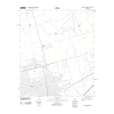
 2012 Northeast Midland2012 Print · USGSCovers Midland County, including Midland, Chub, and other nearby areas
 - 2012 Map of Stanton SE, 2012 Print
 2012 Stanton SE2012 Print · USGSCovers Midland County, including Stanton, Dwight, and other nearby areas
Showing maps 1-25 of 100
Top cities of Midland County
Frequently asked questions
- What are the different types of historical maps available for Midland County?
- What is the oldest map of Midland County?
- Where can I purchase historical maps of Midland County for my home or office?
- Where can I download high-res historical maps of Midland County?
- Are there historical topographic maps available for Midland County?
- Is there historical aerial imagery available for Midland County?
- Where are historical maps of Midland County sourced from?