2010s Maps of Mills County, Texas
Explore 84 historic maps of Mills County from the 2010s. These maps offer a rare glimpse into what life looked like during the 2010s — showing old roads, neighborhoods, homes, and landmarks that have changed or disappeared over time.
Whether you're researching your family's past, planning a metal detecting trip, or studying how Mills County's landscape evolved across the 2010s, these high-resolution maps are a powerful tool for exploring the history of this region.
- Focus on a specific era: All maps on this page are from the 2010s, giving you a focused view of this time period.
- See what’s changed: Compare century-old streets, trails, and buildings to today's modern landscape using overlays and satellite layers.
- Research with precision: Use these maps for genealogy, historical research, land use analysis, or educational projects.
- View, download, or print: Maps are fully viewable online in high resolution, and can be downloaded or printed for your own records.
Start exploring Mills County's history through authentic maps from the 2010s. This is your window into the past.
Mills County, TX maps
(84)- 2010 Map of Castle Peak, 2010 Print
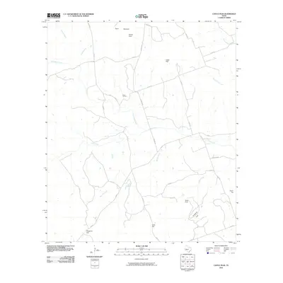 2010 Castle Peak2010 Print · USGSMills County, Texas, is mapped here in the early 2000s, showcasing a landscape of high peaks and winding creek beds. Researchers can locate Oneal Cemetery or trace the drainage of Simms Creek past landmarks like Castle Peak and Chalk Gap.
 - 2010 Map of Indian Gap, 2010 Print
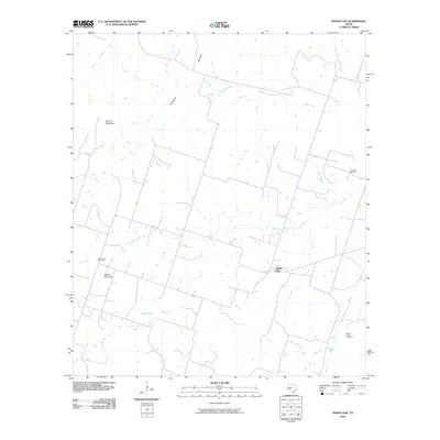 2010 Indian Gap2010 Print · USGSIndian Gap is captured at the start of the 2010s, revealing a Hamilton County landscape where quiet ranchlands meet modern energy interests. Genealogists and local historians can locate Saint Johns Cemetery and Spivey-Baxter Cemetery or trace the path of Cowhouse Creek.
 - 2010 Map of Pecan Wells, 2010 Print
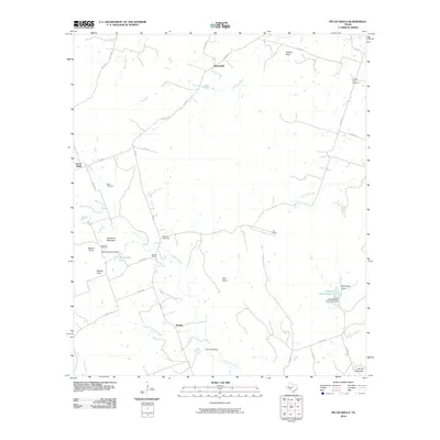 2010 Pecan Wells2010 Print · USGSHamilton County, Texas, is captured here in the early 2000s, showing a rural landscape defined by the Lampasas River. Local historians can trace family roots through the McGirk School and several rural burial sites like McGirk Cemetery and Ward Cemetery.
 - 2010 Map of Center City, 2010 Print
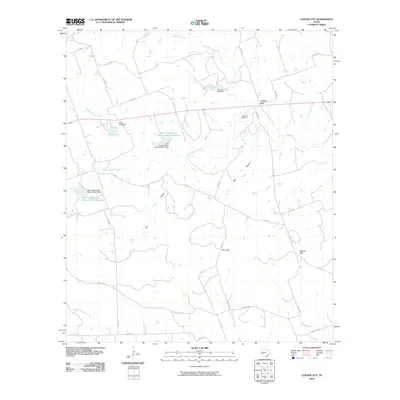 2010 Center City2010 Print · USGSMills County ranch land and water conservation efforts are on full display in this early twenty-first-century survey. Genealogists and local historians can trace the rural community around Center City, exploring sites like Center City Cemetery, Kemp Lake, and Barr Gap.
 - 2010 Map of Caradan, 2010 Print
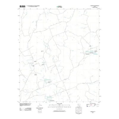 2010 Caradan2010 Print · USGSThe rural landscape around Caradan is captured here during a period of significant water management and conservation. Researchers can trace the drainage of the Lampasas River and locate family-named landmarks like Huckabee Hill and Stillwell Lake.
 - 2010 Map of Big Valley North, 2010 Print
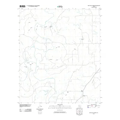 2010 Big Valley North2010 Print · USGSBig Valley and the surrounding Mills County ranch lands are captured here in the early twenty-first century. Genealogists and local historians can locate several rural burial sites, including Rock Spring Cemetery, Catclaw Cemetery, and the community of Big Valley.
 - 2010 Map of San Saba Peak, 2010 Print
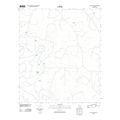 2010 San Saba Peak2010 Print · USGSTexas ranching country in Mills County appears in detail here during the early twenty-first century. Researchers can locate family landmarks like Nabors Creek Cemetery, the Double Ford river crossing, and the settlement of Castor.
 - 2010 Map of Goldthwaite, 2010 Print
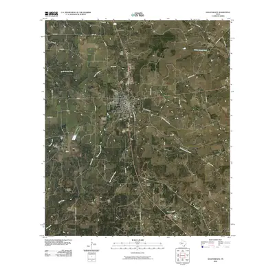 2010 Goldthwaite2010 Print · USGSGoldthwaite and the surrounding Mills County ranch lands are detailed here at the start of the twenty-first century. Researchers can trace family history through the Goldthwaite Cemetery or locate old homesteads near Cedar Knob and Mohler Cemetery.
 - 2010 Map of Lake Merritt, 2010 Print
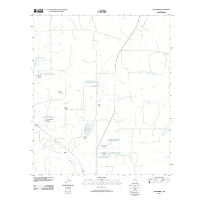 2010 Lake Merritt2010 Print · USGSBozar and the surrounding Mills County landscape are captured here in the early 2000s, showcasing a rural Texas region defined by water management and family landmarks. Researchers can locate local burial grounds like Trigger Mountain Cemetery and trace the paths of Browns Creek or Mountain Creek.
 - 2010 Map of Star, 2010 Print
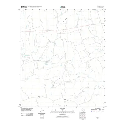 2010 Star2010 Print · USGSTexas ranching country in the early twenty-first century is defined here by its high points and water management. Researchers can trace family history at the Hurst Ranch Cemetery or locate specific property boundaries near McCasland Irrigation Lake and Star Mountain.
 - 2010 Map of Regency, 2010 Print
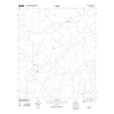 2010 Regency2010 Print · USGSThe Colorado River valley in Mills County is captured here in the early twenty-first century, centered on the crossing at Regency. Researchers can trace local heritage through sites like the Regency Suspension Bridge, Hollis Cemetery, and the community of Ratler.
 - 2010 Map of Indian Creek, 2010 Print
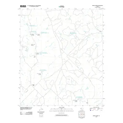 2010 Indian Creek2010 Print · USGSBrown County ranchlands are captured here in the early twenty-first century, showing a landscape shaped by rural roads and water conservation. Genealogists and local historians can locate Indian Creek Cemetery, Elkins Cemetery, and the community of Ebony.
 - 2010 Map of Zephyr, 2010 Print
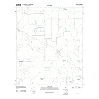 2010 Zephyr2010 Print · USGSThe rural community of Zephyr is captured here at the beginning of the 2010s, showing a landscape defined by ranching and watershed conservation. Local researchers can locate family sites and landmarks like Zephyr Cemetery, Jenkins Cemetery, and the high ground of Lancaster Hill.
 - 2010 Map of Big Valley South, 2010 Print
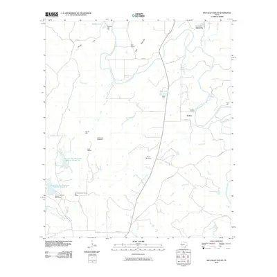 2010 Big Valley South2010 Print · USGSIn the Big Valley region during the early twenty-first century, this landscape shows the confluence of the Colorado River and its many tributaries. Genealogists can locate the McMillin Cemetery and Lower Valley Cemetery or trace landmarks like Wildhorse Mountain.
 - 2010 Map of Antelope Gap, 2010 Print
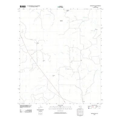 2010 Antelope Gap2010 Print · USGSMills County at the start of the 2010s shows a landscape of quiet rural settlements and significant natural gaps. Genealogists and researchers can trace local connections between Pleasant Grove, Scallorn, and landmarks like Bread Tray Mountain or Clift Lake.
 - 2010 Map of Priddy, 2010 Print
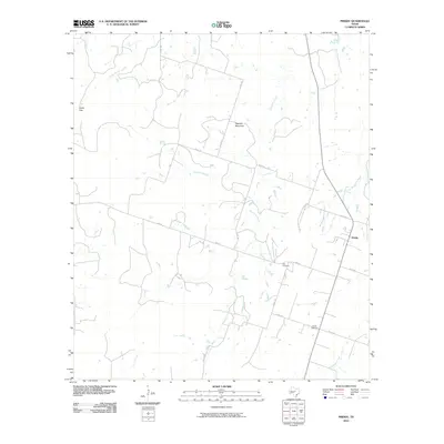 2010 Priddy2010 Print · USGSThe community of Priddy and the surrounding Mills County ranch lands are detailed here in the early twenty-first century. Genealogists and local historians can locate the Zion Cemetery and Priddy Cemetery, or trace the path of Mountain Creek through Cedar Gap.
 - 2010 Map of Mullin, 2010 Print
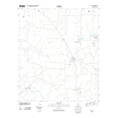 2010 Mullin2010 Print · USGSThe central Texas community of Mullin and the surrounding ranchlands are captured here at the start of the 2010s. Genealogists can trace family heritage through local burial sites like Fisher Cemetery and landmarks such as Jackson Bridge along Pecan Bayou.
 - 2010 Map of Wolf Ridge, 2010 Print
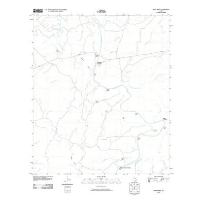 2010 Wolf Ridge2010 Print · USGSThe convergence of the San Saba and Colorado Rivers defines this Texas landscape in the early twenty-first century. Genealogists and local historians can trace legacy sites like Harris Cemetery, the site of Parks Mill, and river landmarks such as Red Bluff Crossing.
 - 2010 Map of Blanket Springs, 2010 Print
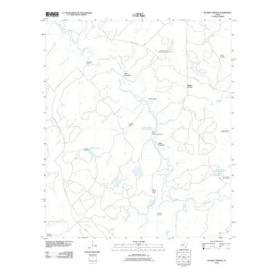 2010 Blanket Springs2010 Print · USGSMills County ranching country is documented here in the early 21st century, centered on the winding Pecan Bayou. Researchers can trace local landmarks like Blanket Springs Cemetery, the Vaughan Ranch Airport, and historic fords at Duke Crossing.
 - 2010 Map of Bowser, 2010 Print
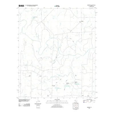 2010 Bowser2010 Print · USGSSan Saba County rural life is captured here in the early twenty-first century as the Colorado River winds past quiet settlements. Researchers can locate ancestral sites at Bowser and Locker, or trace water features like Collins Lake and Corn Knob.
 - 2010 Map of Democrat, 2010 Print
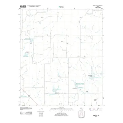 2010 Democrat2010 Print · USGSDemocrat and the surrounding Mills County ranchlands are captured here during the first decade of the millennium. Researchers can locate the Democrat Cemetery and Dudley Cemetery, or trace the numerous watershed reservoirs including Meyer Lake and Aldridge Lake.
 - 2012 Map of Star, 2012 Print
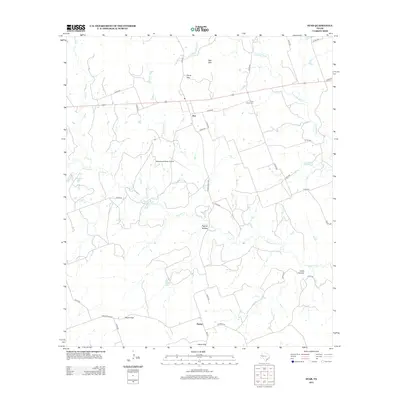 2012 Star2012 Print · USGSThe ranching country of Lampasas County is captured here in the early twenty-first century as modern infrastructure meets historic gaps. Genealogists and local historians can trace family land and landmarks like the Hurst Ranch Cem, Payne Gap, and Star Mtn.
 - 2012 Map of Regency, 2012 Print
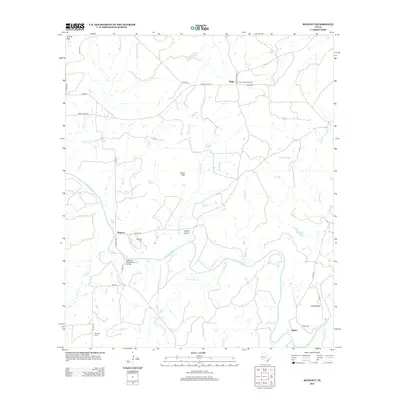 2012 Regency2012 Print · USGSThe Colorado River corridor near the Mills County line is captured here in the early twenty-first century, showcasing a landscape of winding river bends and isolated rural outposts. Local historians can locate the historic Regency Suspension Bridge and trace family roots through Regency, Ratler, and Hollis cemeteries.
 - 2012 Map of Bowser, 2012 Print
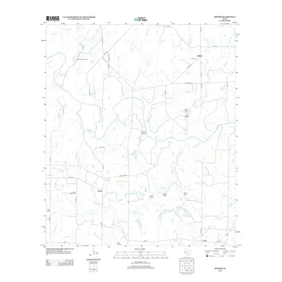 2012 Bowser2012 Print · USGSSan Saba County ranch lands are documented here in the early twenty-first century, showing a landscape shaped by the Colorado River. Genealogists and local historians can trace family locations near Bowser, Locker, and Ebony Cem, or locate landmarks like Corn Knob.
 - 2012 Map of Wolf Ridge, 2012 Print
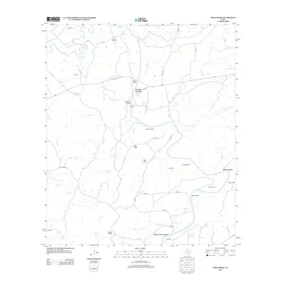 2012 Wolf Ridge2012 Print · USGSThe rural riverlands of Lampasas County are captured here just after the turn of the millennium. Local historians can trace old homestead sites and river access points through labels like Parks Mill, Red Bluff Crossing, and Robinson Ranch.
Showing maps 1-25 of 84
Top cities of Mills County
Frequently asked questions
- What are the different types of historical maps available for Mills County?
- What is the oldest map of Mills County?
- Where can I purchase historical maps of Mills County for my home or office?
- Where can I download high-res historical maps of Mills County?
- Are there historical topographic maps available for Mills County?
- Is there historical aerial imagery available for Mills County?
- Where are historical maps of Mills County sourced from?