2000s (21st Century) Maps of Potter County, Texas
Explore 120 historic maps of Potter County from the 2000s (21st Century). These maps offer a rare glimpse into what life looked like during the 2000s — showing old roads, neighborhoods, homes, and landmarks that have changed or disappeared over time.
Whether you're researching your family's past, planning a metal detecting trip, or studying how Potter County's landscape evolved across the 2000s, these high-resolution maps are a powerful tool for exploring the history of this region.
- Focus on a specific era: All maps on this page are from the 2000s, giving you a focused view of this time period.
- See what’s changed: Compare century-old streets, trails, and buildings to today's modern landscape using overlays and satellite layers.
- Research with precision: Use these maps for genealogy, historical research, land use analysis, or educational projects.
- View, download, or print: Maps are fully viewable online in high resolution, and can be downloaded or printed for your own records.
Start exploring Potter County's history through authentic maps from the 2000s. This is your window into the past.
Potter County, TX maps
(120)- 2010 Map of Little Indian Creek, 2010 Print
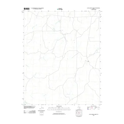 2010 Little Indian Creek2010 Print · USGSTexas Panhandle ranching country comes into focus in this recent study of the high plains north of Amarillo. Genealogists and land researchers can locate the Bivins X L Ranch and trace the winding paths of Little Indian Creek and Corral Creek.
 - 2010 Map of Boden, 2010 Print
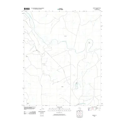 2010 Boden2010 Print · USGSPotter County ranch land is captured here during the first decade of the millennium, centered on the Canadian River and the rural community of Boden. Genealogists and historians can trace local routes like Old Muddy Rd and locate landmarks such as Whale Pond or the Southwest Windmill.
 - 2010 Map of Mayer, 2010 Print
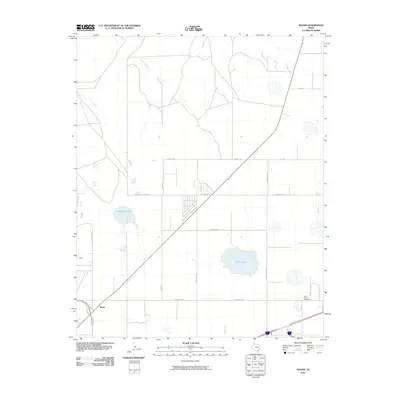 2010 Mayer2010 Print · USGSThe rural outskirts of Amarillo are captured here at the start of the decade, showing a landscape defined by ranch roads and prairie drainages. Researchers can locate the Saint Francis Cemetery or trace the paths of Bonita Creek and Rosita Creek.
 - 2010 Map of Bushland, 2010 Print
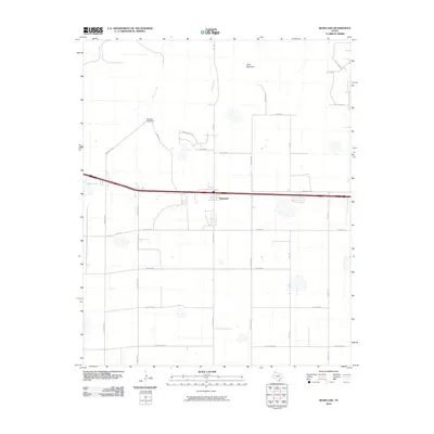 2010 Bushland2010 Print · USGSBushland and the surrounding Potter County plains are captured here during a period of steady rural expansion. Genealogists and local historians can trace family-named landmarks and water sources like Goat Mountain, Ida Lake, and the winding Tecovas Creek.
 - 2010 Map of Pleasant Valley, 2010 Print
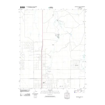 2010 Pleasant Valley2010 Print · USGSThe northern fringes of Amarillo and the community of Pleasant Valley are shown here as they appeared in 2010. Researchers can trace the transition from suburban streets to open ranch land, locating the Amarillo Speed Bowl, Bivins Ranch, and the Caliche Quarry.
 - 2010 Map of Pomeroy, 2010 Print
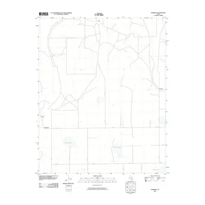 2010 Pomeroy2010 Print · USGSCarson County ranching country and the High Plains landscape are documented here at the turn of the millennium. Local historians can trace the boundaries of the Deal Ranch and Williams Ranch or locate water features like Rockwell Lake and Icehouse Lake.
 - 2010 Map of Alibates Ranch, 2010 Print
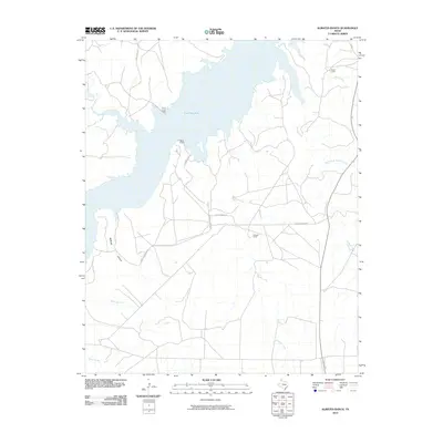 2010 Alibates Ranch2010 Print · USGSThe High Plains of Potter County meet the expansive Lake Meredith in the first decade of the millennium. Local researchers can trace ranching heritage at Alibates Ranch and Bivins Camp or explore the drainage systems of McBride Canyon and Coetas Creek.
 - 2010 Map of McDowell Creek, 2010 Print
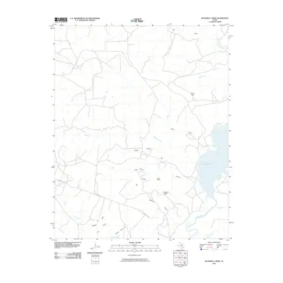 2010 McDowell Creek2010 Print · USGSThe Texas Panhandle breaks along the Canadian River valley are captured here just after the turn of the millennium. Researchers can trace the rugged shoreline of Lake Meredith and locate remote landmarks like Tincup Spring, Hackberry Mesa, and Devils Canyon.
 - 2010 Map of Ady, 2010 Print
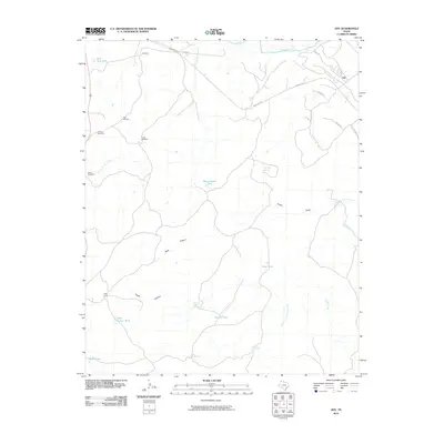 2010 Ady2010 Print · USGSPotter County ranchlands are captured here in the early twenty-first century as the Canadian River flows north of established cattle hubs. Researchers can locate specific water improvements and outposts like Eagle Camp, LS Ranch, and Rheumatism Tank.
 - 2010 Map of Cliffside, 2010 Print
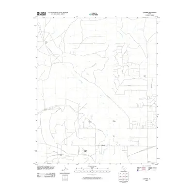 2010 Cliffside2010 Print · USGSThe Texas Panhandle northwest of Amarillo comes into focus during this period of suburban growth and energy production. Researchers can trace the layout of the Cliffside Gas Field Camp or locate family history at Townsend Cemetery and Bishop Ranch.
 - 2010 Map of Pullman, 2010 Print
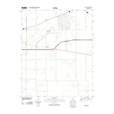 2010 Pullman2010 Print · USGSThe outskirts of Amarillo in the early 21st century reveal a landscape shaped by aviation history and High Plains ranching. You can trace the perimeter of the Rick Husband Amarillo International Airport or locate the rural communities of Pullman and Folsom.
 - 2010 Map of Washburn, 2010 Print
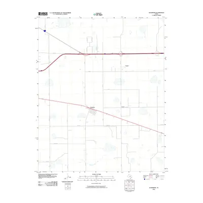 2010 Washburn2010 Print · USGSThe community of Washburn and the nearby settlement of Yarnall are captured in this Texas Panhandle landscape during the early twenty-first century. Researchers can trace local lineage at the Washburn Cemetery and follow rural routes like Bravo Rd and Mulberry Creek.
 - 2010 Map of Sevenmile Basin, 2010 Print
 2010 Sevenmile Basin2010 Print · USGSThe Texas Panhandle is captured here in the early twenty-first century, showing a landscape defined by ranching routes and industrial footprints. Genealogists and local historians can locate Saint Francis, Liberty Cemetery, and the ephemeral Pantex Lake.
 - 2010 Map of Wildorado, 2010 Print
 2010 Wildorado2010 Print · USGSThe High Plains of Oldham County are captured here in the early 21st century, centered on the town of Wildorado. Genealogists and local historians can trace family-named landmarks like Bynum Ranch or follow the paths of Frying Pan Rd and Ida Lake.
 - 2010 Map of Amarillo East, 2010 Print
 2010 Amarillo East2010 Print · USGSAmarillo shows its modern urban sprawl and preserved historical neighborhoods in the Texas Panhandle during the early 2000s. Researchers can trace historic property boundaries in the Wolflin Historic District or locate family sites in Llano Cemetery and Memorial Park Cemetery.
 - 2010 Map of Boys Ranch East, 2010 Print
 2010 Boys Ranch East2010 Print · USGSPotter County ranch lands and river crossings are documented here at the start of the 2010s. Researchers can trace the legacy of Tascosa and Boys Ranch while locating family-named landmarks like the Tascosa Cemetery and Bivins Lit Ranch near the Canadian River.
 - 2010 Map of Rotten Hill, 2010 Print
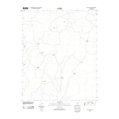 2010 Rotten Hill2010 Print · USGSPotter County ranching country is shown here in the early twenty-first century, characterized by its vital water infrastructure and creek beds. Researchers can locate specific landmarks like Wildorado Camp, the Blue Hole, and historical markers such as the Wooden Tower Windmill.
 - 2010 Map of Deal, 2010 Print
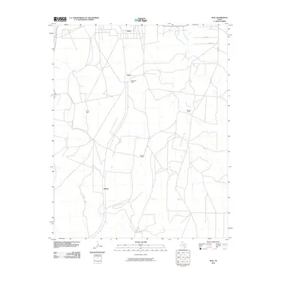 2010 Deal2010 Print · USGSThe Texas Panhandle comes into focus during the early twenty-first century, showing a landscape shaped by ranching and deep creek drainages. Genealogists and local historians can trace family land at Poling Ranch or Sanford Ranch and locate the small outpost of Wilhelm.
 - 2010 Map of Chunky, 2010 Print
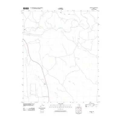 2010 Chunky2010 Print · USGSPotter County ranch lands and the winding Canadian River define this landscape in the early twenty-first century. Researchers can trace established cattle operations like Kritser Ranch and L X Ranch or locate the settlement of Chunky near East Amarillo Creek.
 - 2010 Map of Marsh, 2010 Print
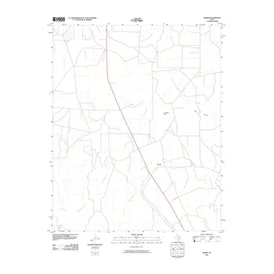 2010 Marsh2010 Print · USGSThe Texas Panhandle near the settlement of Marsh is shown here in the early twenty-first century, revealing a landscape of wide-open rangeland and deep drainages. Researchers can trace the varied topography from John Ray Butte down into the depths of Big Canyon or follow the waters of Lahey Creek.
 - 2010 Map of Amarillo West, 2010 Print
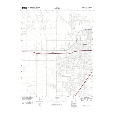 2010 Amarillo West2010 Print · USGSThe western edge of the Texas Panhandle is captured here during a period of significant suburban growth beyond the city limits. Local researchers can trace modern road developments and older landmarks like Kiwanis Camp, Soncy, and the length of South Palo Duro Creek.
 - 2010 Map of Berry Sand Draw, 2010 Print
 2010 Berry Sand Draw2010 Print · USGSPotter County ranching country and the dissected plains of the Panhandle are captured here in the early twenty-first century. Researchers can trace the drainage of Berry Sand Draw and locate local landmarks such as Berry Ranch and the Caliche Quarries.
 - 2010 Map of Puente, 2010 Print
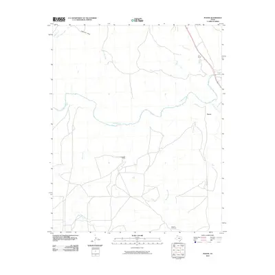 2010 Puente2010 Print · USGSTexas Panhandle ranching culture and the winding Canadian River are documented here during the early twenty-first century. Researchers can trace the layout of family-held lands and water sources like the Fain Ranch, Indian Fort Mesa, and West Amarillo Creek.
 - 2010 Map of Wolf Mountain, 2010 Print
 2010 Wolf Mountain2010 Print · USGSPotter County ranch land is captured here in the early 21st century, showing the vast open range before modern subdivision. Researchers can trace historic cattle routes like Tascosa Rd and locate local landmarks such as Fryingpan Ranch and Wolf Mountain.
 - 2012 Map of Rotten Hill, 2012 Print
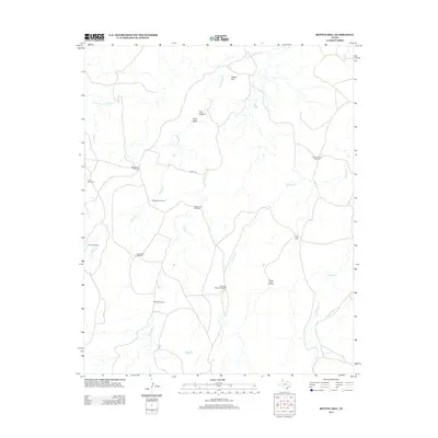 2012 Rotten Hill2012 Print · USGSPotter County ranching country is captured here during the early twenty-first century, showing a landscape shaped by water and livestock. Researchers can trace the heritage of Panhandle cattle operations through landmarks like Wildorado Camp, the Wooden Tower Windmill, and the Blue Hole.
Showing maps 1-25 of 120
Top cities of Potter County
Frequently asked questions
- What are the different types of historical maps available for Potter County?
- What is the oldest map of Potter County?
- Where can I purchase historical maps of Potter County for my home or office?
- Where can I download high-res historical maps of Potter County?
- Are there historical topographic maps available for Potter County?
- Is there historical aerial imagery available for Potter County?
- Where are historical maps of Potter County sourced from?