2000s (21st Century) Maps of Red River County, Texas
Explore 150 historic maps of Red River County from the 2000s (21st Century). These maps offer a rare glimpse into what life looked like during the 2000s — showing old roads, neighborhoods, homes, and landmarks that have changed or disappeared over time.
Whether you're researching your family's past, planning a metal detecting trip, or studying how Red River County's landscape evolved across the 2000s, these high-resolution maps are a powerful tool for exploring the history of this region.
- Focus on a specific era: All maps on this page are from the 2000s, giving you a focused view of this time period.
- See what’s changed: Compare century-old streets, trails, and buildings to today's modern landscape using overlays and satellite layers.
- Research with precision: Use these maps for genealogy, historical research, land use analysis, or educational projects.
- View, download, or print: Maps are fully viewable online in high resolution, and can be downloaded or printed for your own records.
Start exploring Red River County's history through authentic maps from the 2000s. This is your window into the past.
Red River County, TX maps
(150)- 2010 Map of Bogata, 2010 Print
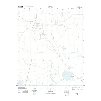 2010 Bogata2010 Print · USGSBogata and its neighboring settlements in Red River County appear in the early 21st century as a landscape of rural communities and managed waterways. Genealogists can locate family landmarks like Dodd Cemetery and Hinson Cemetery or trace the drainage of the Sulphur River.
 - 2010 Map of Deport, 2010 Print
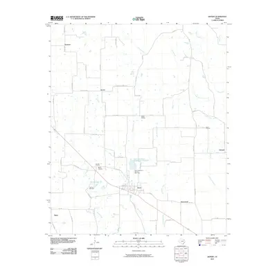 2010 Deport2010 Print · USGSNortheast Texas at the start of the 2010s reveals a landscape of small agricultural townships and vital water management sites. Genealogists can trace family roots at Wrights Chapel Cemetery or Bethel Cemetery and locate homesteads near Byrdtown and Deport.
 - 2010 Map of Dimple, 2010 Print
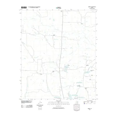 2010 Dimple2010 Print · USGSRed River County’s rural landscape is captured here in the early twenty-first century, showing a region of sprawling bayous and small family-named landmarks. Genealogists and local historians can locate early burial sites like Stone Chapel Cemetery and Shiloh Cemetery or trace the winding course of Pecan Bayou.
 - 2010 Map of Detroit, 2010 Print
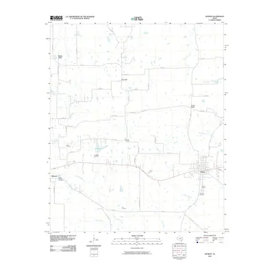 2010 Detroit2010 Print · USGSNortheastern Texas crossroads at the dawn of the 2010s reveal a landscape deeply rooted in family history and rural agriculture. Genealogists can trace ancestral sites across several historic burial grounds like Egypt Cemetery, Knights of Honor Cemetery, and Holt Cemetery.
 - 2010 Map of Bagwell, 2010 Print
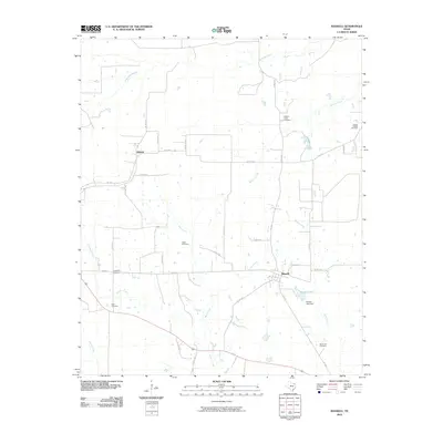 2010 Bagwell2010 Print · USGSRed River County in the early twenty-first century remains a landscape of quiet rural settlements and established family homesteads. Researchers can trace local history through numerous sites like Bagwell, Shamrock Cemetery, and the banks of Denwiddie Bayou.
 - 2010 Map of Clarksville, 2010 Print
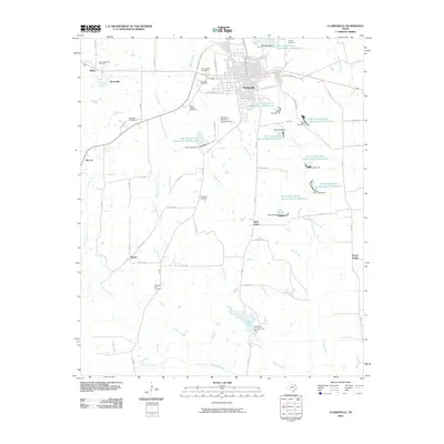 2010 Clarksville2010 Print · USGSRed River County in the early twenty-first century remains a landscape of small farming communities and deliberate water management. Genealogists can trace family roots through numerous sites like Harris Chapel Cemetery, Brewster Cemetery, and the settlement of Peters Prairie.
 - 2010 Map of Hagansport, 2010 Print
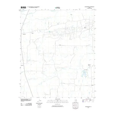 2010 Hagansport2010 Print · USGSNortheast Texas at the start of the 21st century is captured here in this survey of Franklin County rural life. Researchers can locate ancestral sites like Murphy Cemetery and Hagansport Cemetery or trace the winding course of the Sulphur River.
 - 2010 Map of Line Branch, 2010 Print
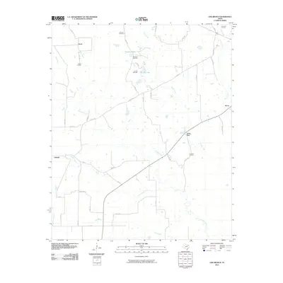 2010 Line Branch2010 Print · USGSRed River County at the start of the 2010s remains a landscape of quiet rural settlements and family cemeteries. Genealogists can trace local roots through Liberty, Lone Star, and Catonville while following the paths of Cuthand Creek and Gouchy Creek.
 - 2010 Map of Mitchell Creek, 2010 Print
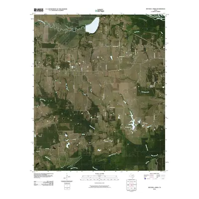 2010 Mitchell Creek2010 Print · USGSFranklin County at the start of the decade reveals a landscape of deep Texas river bottoms and rural oil production. Researchers can trace family history at Keith Cemetery and Colliers Chapel Cemetery or locate industrial sites like the Shell Oil Field.
 - 2010 Map of White Rock, 2010 Print
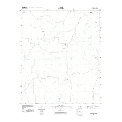 2010 White Rock2010 Print · USGSRed River County settlements in northern Texas are documented here during the early twenty-first century. Family historians can trace rural roots through landmarks like Haywood Cemetery and crossroads at Reeds Settlement and Madras.
 - 2010 Map of Dalby Springs, 2010 Print
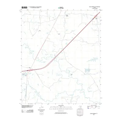 2010 Dalby Springs2010 Print · USGSBowie County at the start of the 2010s reveals a landscape defined by the winding Sulphur River and quiet rural settlements. Researchers can trace family history at Roberts Cemetery or explore the local water systems like Molly Clark Slough and Broseco Ranch.
 - 2010 Map of Oak Grove, 2010 Print
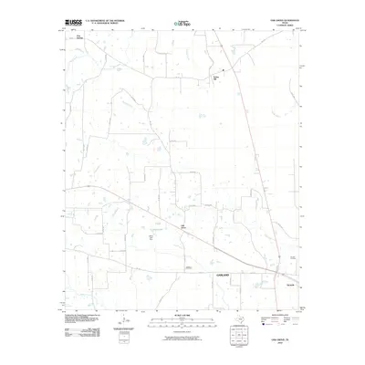 2010 Oak Grove2010 Print · USGSBowie County, Texas, is mapped here in the early 21st century, showing the rural landscape around the settlements of Oak Grove and Garland. Genealogists and local historians can trace family sites near Garland Cemetery or locate landmarks like Elkins Lake Dam.
 - 2010 Map of Avery, 2010 Print
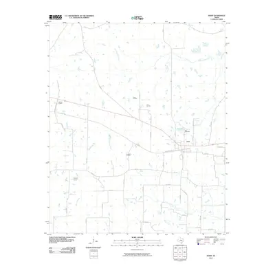 2010 Avery2010 Print · USGSAvery and its surrounding Red River County countryside are documented here in the early twenty-first century. Family historians can locate numerous burial grounds across the area, including Savannah Cemetery, Warthan Cemetery, and Honeycutt Cemetery.
 - 2010 Map of Annona, 2010 Print
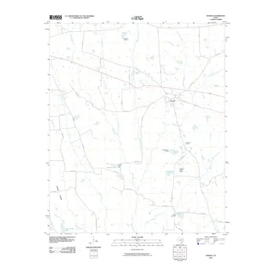 2010 Annona2010 Print · USGSRed River County as it appeared in the early 2000s shows a landscape of small-town life and rural water management. Genealogists and local historians can trace the area around Annona, locating landmarks like Garland Cemetery and various reservoirs like T and P Lake.
 - 2010 Map of Lydia, 2010 Print
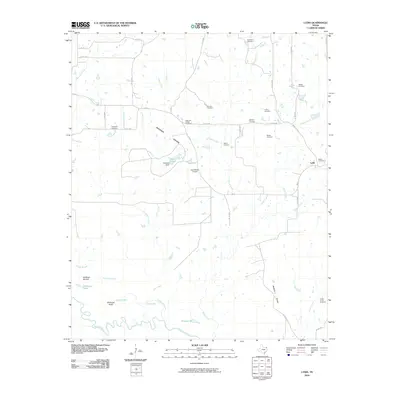 2010 Lydia2010 Print · USGSIn the river-bottom country of northeast Texas, this landscape shows the rural communities and prairie lands as they appeared in 2010. Genealogists can trace numerous local burial sites including Shawnee Chapel Cemetery, Wooten Cemetery, and Medford Cemetery.
 - 2010 Map of English, 2010 Print
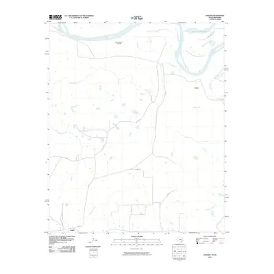 2010 English2010 Print · USGSRed River County at the Oklahoma border is shown here in the early twenty-first century as a landscape shaped by river migration and rural settlement. Genealogists and local historians can trace family sites near English or locate the Riverview Cemetery and Pecan Springs.
 - 2010 Map of Boxelder, 2010 Print
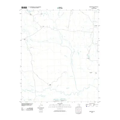 2010 Boxelder2010 Print · USGSRed River County settlements and bottomlands are preserved in this 2010 survey of Northeast Texas. Genealogists and local historians can trace family sites near Evergreen Cemetery and explore the rural landscape around Boxelder, Harts Bluff, and the Trix-Liz Oil Field.
 - 2010 Map of Cunningham, 2010 Print
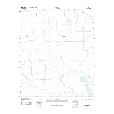 2010 Cunningham2010 Print · USGSCunningham and the rural reaches of Red River County are seen here at the start of the decade, where the north and south forks of the Sulphur River meet. Researchers can trace family history at several local burial grounds, including Restland Cemetery, Woodard Cemetery, and Morris Chapel Cemetery.
 - 2010 Map of Cuthand, 2010 Print
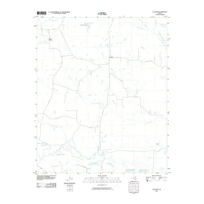 2010 Cuthand2010 Print · USGSRed River County in the early twenty-first century is a landscape shaped by the winding Sulphur River and its many tributaries. Genealogists and local historians can trace the rural layout around Cuthand and Pine Branch or locate family-named features like Stout Lake and Barnard Draw Lake.
 - 2010 Map of Hodgson, 2010 Print
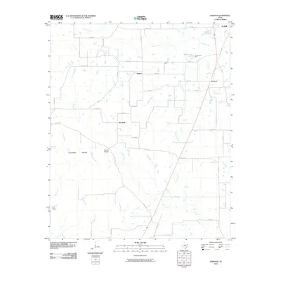 2010 Hodgson2010 Print · USGSBowie County at the start of the 2010s reveals a quiet landscape of prairie openings and rural crossroads. Genealogists and local historians can trace the sites of Tuckers Corner, the historic Cedar Creek Cemetery, and the banks of Anderson Creek.
 - 2010 Map of Coopers Chapel, 2010 Print
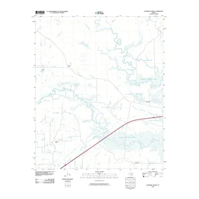 2010 Coopers Chapel2010 Print · USGSTitus County's riverbottoms and rural settlements are documented here during the early 2000s, showing a landscape defined by water and oil. Genealogists and local historians can trace family roots through Coopers Chapel, Evergreen Cemetery, and the Pewitt Ranch Oil Field.
 - 2010 Map of Frogville, 2010 Print
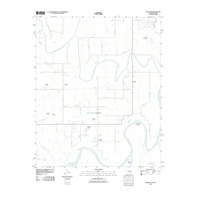 2010 Frogville2010 Print · USGSThe Red River valley south of Fort Towson comes to life in this study of the Oklahoma-Texas borderlands during the early twenty-first century. Genealogists and local historians can trace legacy sites like Everidge Cemetery, Frogville, and the Everidge Lake Cut-off.
 - 2010 Map of Negley, 2010 Print
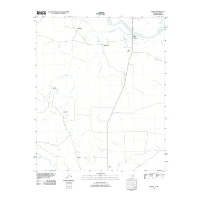 2010 Negley2010 Print · USGSRed River County settlements and the winding northern border of Texas are documented here during the early twenty-first century. Researchers can trace rural lineages through the Negley Post Office, Tuggle Springs Cemetery, and the riverfront community of Albion.
 - 2010 Map of Millerton, 2010 Print
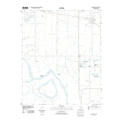 2010 Millerton2010 Print · USGSThe Oklahoma-Texas borderlands along the Red River are captured here in the early twenty-first century. Researchers can trace local history through the Clear Creek Cemetery or follow the complex network of reservoirs and sloughs like Salt-Well Slough and McKinsey Slough.
 - 2010 Map of Manchester, 2010 Print
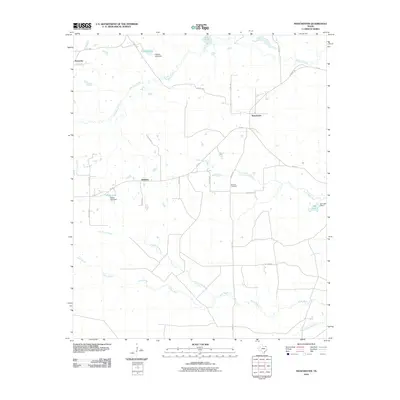 2010 Manchester2010 Print · USGSNortheast Texas farm country is captured here in the early twenty-first century, showcasing the rural crossroads of Manchester. Local historians can trace old property lines near Addielou or locate family sites by Calhoun Cemetery and the banks of Pecan Bayou.
Showing maps 1-25 of 150
Top cities of Red River County
- Clarksville historical maps
- Bogata historical maps
- Detroit historical maps
- Avery historical maps
- Annona historical maps
Frequently asked questions
- What are the different types of historical maps available for Red River County?
- What is the oldest map of Red River County?
- Where can I purchase historical maps of Red River County for my home or office?
- Where can I download high-res historical maps of Red River County?
- Are there historical topographic maps available for Red River County?
- Is there historical aerial imagery available for Red River County?
- Where are historical maps of Red River County sourced from?