2020s Maps of Red River County, Texas
Explore 30 historic maps of Red River County from the 2020s. These maps offer a rare glimpse into what life looked like during the 2020s — showing old roads, neighborhoods, homes, and landmarks that have changed or disappeared over time.
Whether you're researching your family's past, planning a metal detecting trip, or studying how Red River County's landscape evolved across the 2020s, these high-resolution maps are a powerful tool for exploring the history of this region.
- Focus on a specific era: All maps on this page are from the 2020s, giving you a focused view of this time period.
- See what’s changed: Compare century-old streets, trails, and buildings to today's modern landscape using overlays and satellite layers.
- Research with precision: Use these maps for genealogy, historical research, land use analysis, or educational projects.
- View, download, or print: Maps are fully viewable online in high resolution, and can be downloaded or printed for your own records.
Start exploring Red River County's history through authentic maps from the 2020s. This is your window into the past.
Red River County, TX maps
(30)- 2022 Map of Frogville, 2022 Print
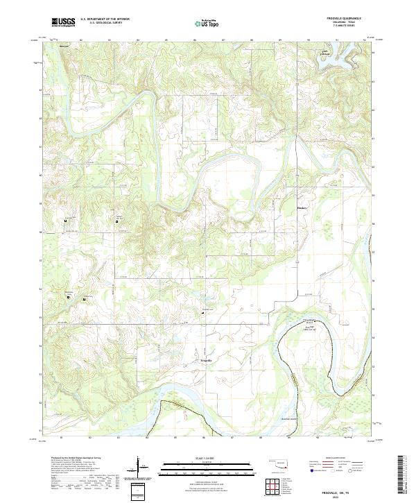 2022 Frogville2022 Print · USGSChoctaw County, Oklahoma, is documented here at the confluence of the Kiamichi and Red Rivers. Genealogists and local historians can trace family locations near Frogville, Huskey, and several rural burial grounds including Everidge Cem and Spring Hill Cem.
 - 2022 Map of Millerton, 2022 Print
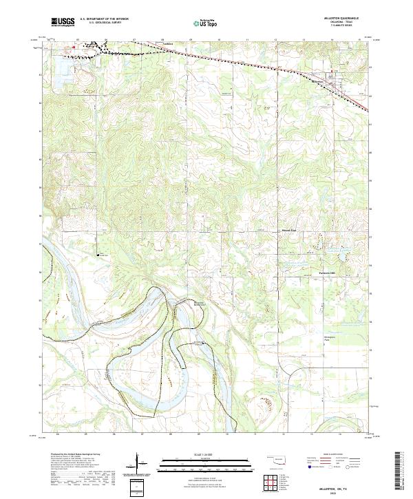 2022 Millerton2022 Print · USGSThe Oklahoma-Texas borderlands along the Red River appear in detail on this recent survey. Local historians and genealogists can trace the railroad corridor through Millerton and Valliant, or locate family landmarks like the Clear Creek Cem and Farmers Hill.
 - 2022 Map of Idabel SE, 2022 Print
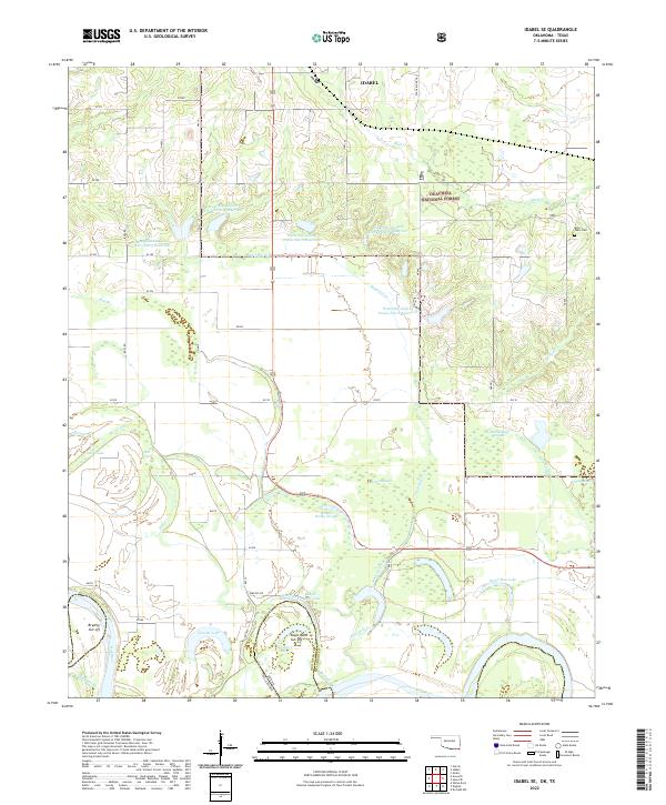 2022 Idabel SE2022 Print · USGSThe Oklahoma and Texas borderlands along the Red River are captured here in a landscape defined by oxbows and managed forests. Genealogists and local historians can trace the wetland edges of Jenkins Reilly Slough or locate the historic Kulli Tuklo Cem.
 - 2022 Map of Cunningham, 2022 Print
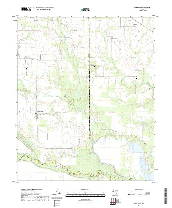 2022 Cunningham2022 Print · USGSLamar and Red River counties meet at the Sulphur River forks in this contemporary look at the rural Texas plains. Researchers can trace local heritage through numerous community burial sites like Restland Cem, Halesboro Cem, and McCrury Cem.
 - 2022 Map of Bogata, 2022 Print
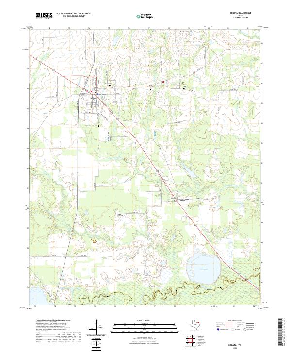 2022 Bogata2022 Print · USGSBogata and Johntown anchor this survey of Northeast Texas in the early twenty-first century, just north of the Franklin County line. Researchers can trace numerous family burial sites such as Bogata Cem, Dodd Cem, and the waters of River Crest Lake.
 - 2022 Map of Kiomatia, 2022 Print
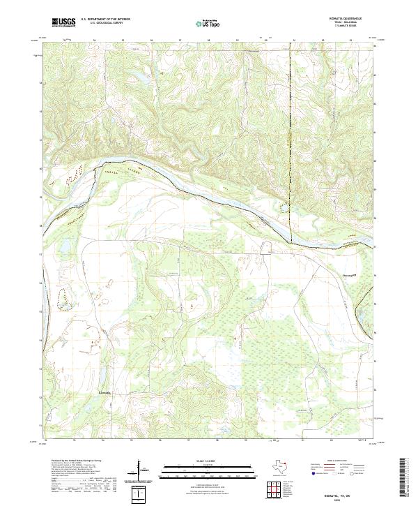 2022 Kiomatia2022 Print · USGSThe Texas-Oklahoma borderlands come into focus in this study of the Red River valley during the early twenty-first century. Genealogists and local historians can trace the rural infrastructure around Kiomatia and Davenport, including landmarks like Wright Lake and Salt Well Slough.
 - 2022 Map of Woodland, 2022 Print
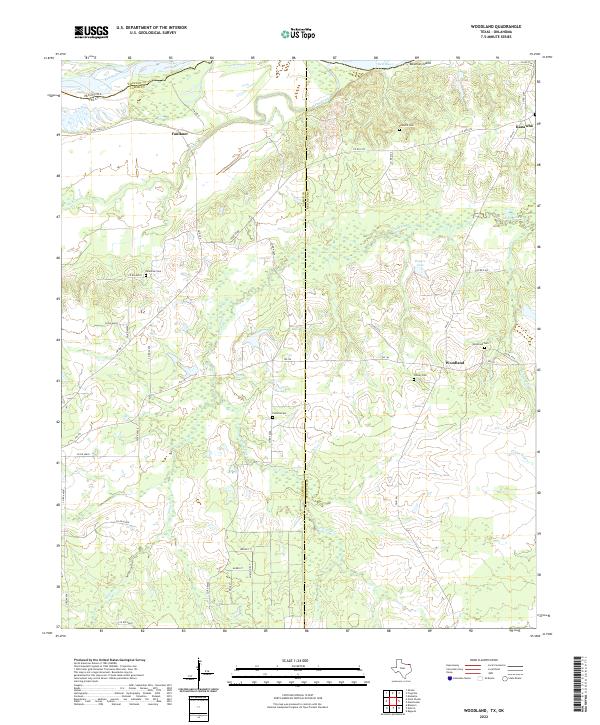 2022 Woodland2022 Print · USGSNortheast Texas at the Oklahoma border comes into focus on this recent survey of the rural Red River valley. Researchers can trace family history through numerous local sites like Palestine Cem, Pinhook Cem, and the old settlement at Woodland.
 - 2022 Map of Hagansport, 2022 Print
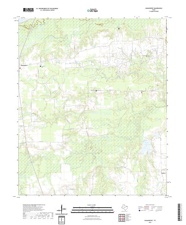 2022 Hagansport2022 Print · USGSFranklin County's wetland margins and rural road networks are documented here in the early twenty-first century. Genealogists can trace family heritage at Prairie Academy Cem and Hagansport Cem or locate old home sites near Daphne and Terry Lake.
 - 2022 Map of Deport, 2022 Print
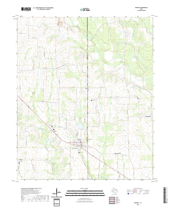 2022 Deport2022 Print · USGSTexas prairie life continues in the early twenty-first century as the border between Lamar and Red River counties remains a network of rural settlements. Genealogists can trace family burial sites at Deport Cem, Bethel Cem, and Milton Cem.
 - 2022 Map of Bagwell, 2022 Print
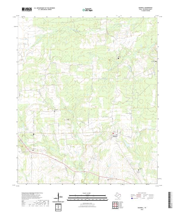 2022 Bagwell2022 Print · USGSRed River County settlements and family burial grounds are well-documented in this recent survey of the Texas post oak savannah. Genealogists can locate numerous sites including Youngs Chapel Cem, Bluff Cem, and the community of Bagwell.
 - 2022 Map of Negley, 2022 Print
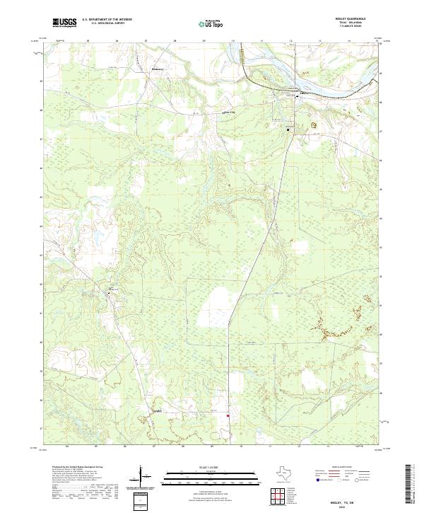 2022 Negley2022 Print · USGSThe Texas-Oklahoma borderlands along the Red River are documented here in recent detail, showing a landscape defined by cattle ranching and river bottomlands. Genealogists and local historians can locate several historic burial sites, including Albion Cem and Tuggle Springs Cem, alongside small settlements like Negley and Silver City.
 - 2022 Map of Cuthand, 2022 Print
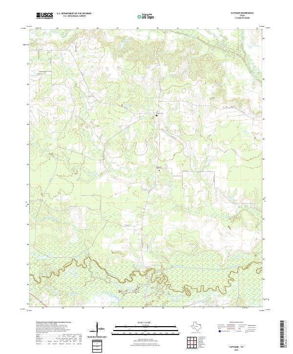 2022 Cuthand2022 Print · USGSRed River and Titus counties meet along the winding banks of the Sulphur River in this modern Texas survey. Genealogists and local historians can locate rural burial grounds like Cuthand Cem and McKenzie Chapel Cem among the wetlands of Sanders Slough.
 - 2022 Map of Detroit, 2022 Print
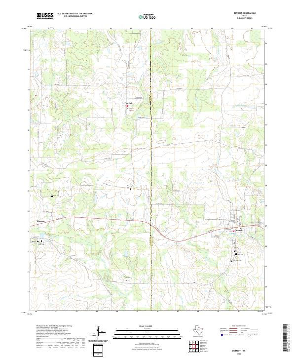 2022 Detroit2022 Print · USGSDetroit and Blossom appear here in the early 2020s, showing the settled landscape along the Lamar and Red River county line. Genealogists can trace local history through a high density of rural burial sites like Knights Of Honor Cem, Egypt Cem, and Holt Cem.
 - 2022 Map of Manchester, 2022 Print
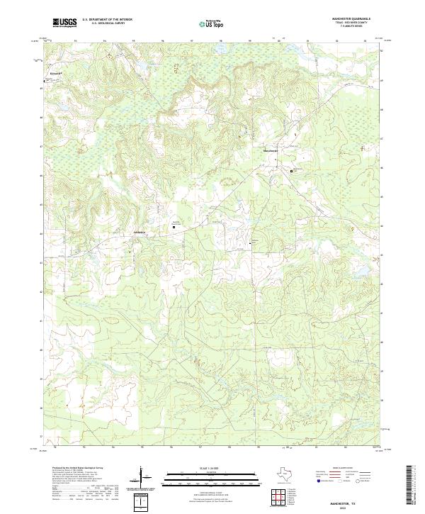 2022 Manchester2022 Print · USGSRed River County in the early twenty-first century remains a rural landscape of bayous and small crossroads settlements. Genealogists can trace family footprints at Leesville Church Cem, Kanawha Cem, and the old townsite of Manchester.
 - 2022 Map of Oak Grove, 2022 Print
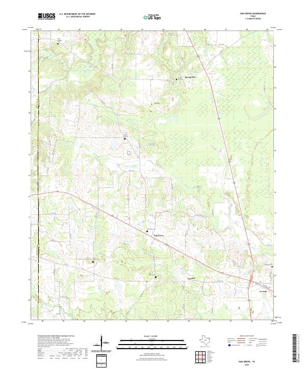 2022 Oak Grove2022 Print · USGSEastern Texas community life and rural landscapes are captured here in the early twenty-first century. Genealogists can trace family names and burial sites at Oak Grove Cem, Gravel Hill Cem, and the West Bowie Cem near Garland.
 - 2022 Map of Avery, 2022 Print
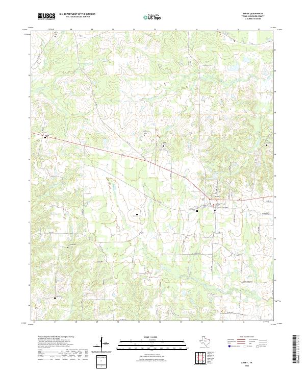 2022 Avery2022 Print · USGSRed River County settlements and family lands are well-documented here in the early twenty-first century. Genealogists and local historians can trace legacy sites like Lick Springs Cem, Avery Cem, and Warthan Cem along the waters of Kickapoo Cr.
 - 2022 Map of De Kalb NW, 2022 Print
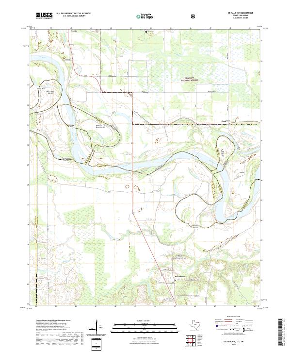 2022 De Kalb NW2022 Print · USGSThe Red River border between Oklahoma and Texas is captured here in a complex landscape of shifting oxbows and river-bottom timber. Researchers can trace the legacy of early settlements and family landmarks like Beaverdam, Jim Jones Hill, and Harris Cem.
 - 2022 Map of Annona, 2022 Print
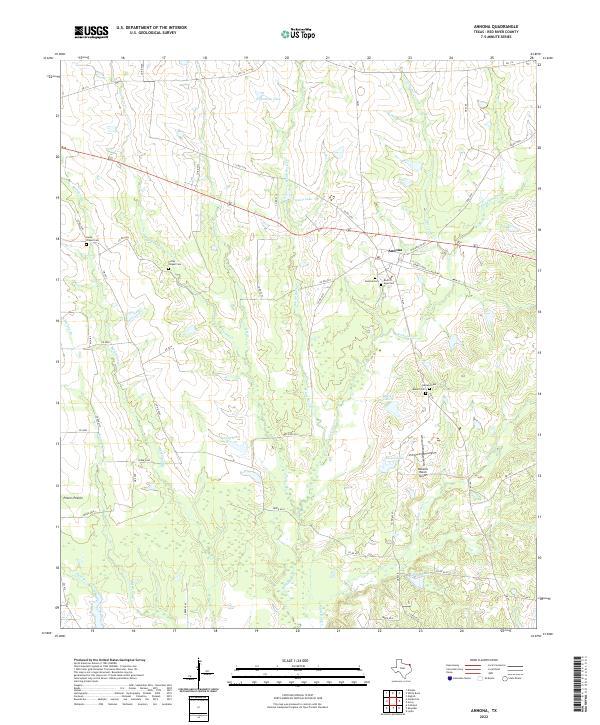 2022 Annona2022 Print · USGSThe community of Annona and the surrounding Red River County pastures are shown here in the early twenty-first century. Genealogists can trace family heritage through sites like Corley Chapel Cem, Garland Cem, and Peters Prairie.
 - 2022 Map of White Rock, 2022 Print
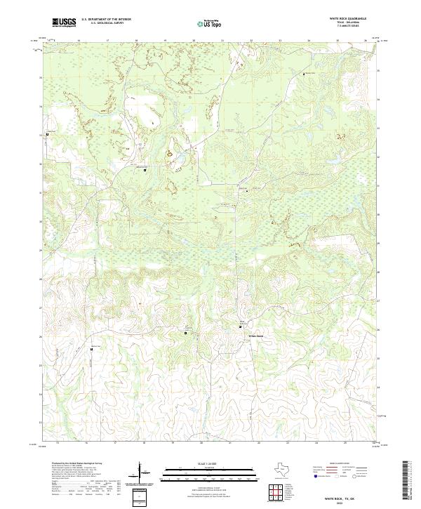 2022 White Rock2022 Print · USGSIn the rural reaches of Red River County during the early twenty-first century, this landscape preserves a dense network of family and community burial grounds. Researchers can locate several historical sites including White Rock Cem, Old Concord Cem, and Old Goose Pond.
 - 2022 Map of Hodgson, 2022 Print
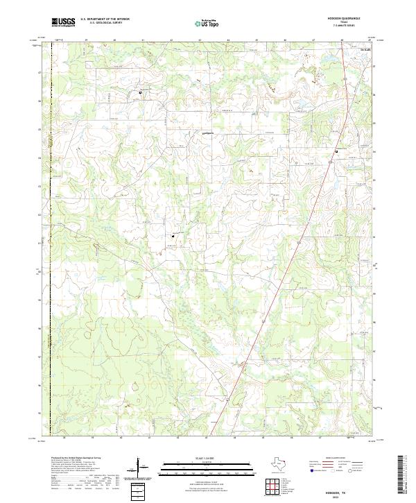 2022 Hodgson2022 Print · USGSBowie County in the early twenty-first century remains a landscape of quiet prairies and winding creek bottoms west of the town of De Kalb. Genealogists and local historians can locate rural burial sites such as Big Woods Cem and New Hope Cem along the quiet reaches of Blythe Cr.
 - 2022 Map of Dalby Springs, 2022 Print
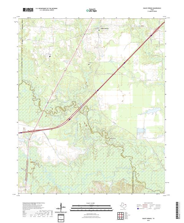 2022 Dalby Springs2022 Print · USGSThe Sulphur River bottomlands in Bowie County are mapped here in the early 2020s, showing a landscape of sloughs and family cemeteries. Trace local history at Dalby Springs Cem or follow the waters of Molly Clark Slough and White Oak Creek.
 - 2022 Map of Lydia, 2022 Print
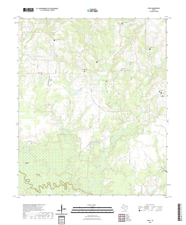 2022 Lydia2022 Print · USGSNortheastern Texas at the border of Red River and Titus counties shows a landscape of prairie and river bottomlands in this recent survey. Local historians can trace decades of community roots through numerous burial sites like Rehobeth Cem and Lydia Cem or explore the geography of Shawnee Prairie.
 - 2022 Map of Acworth, 2022 Print
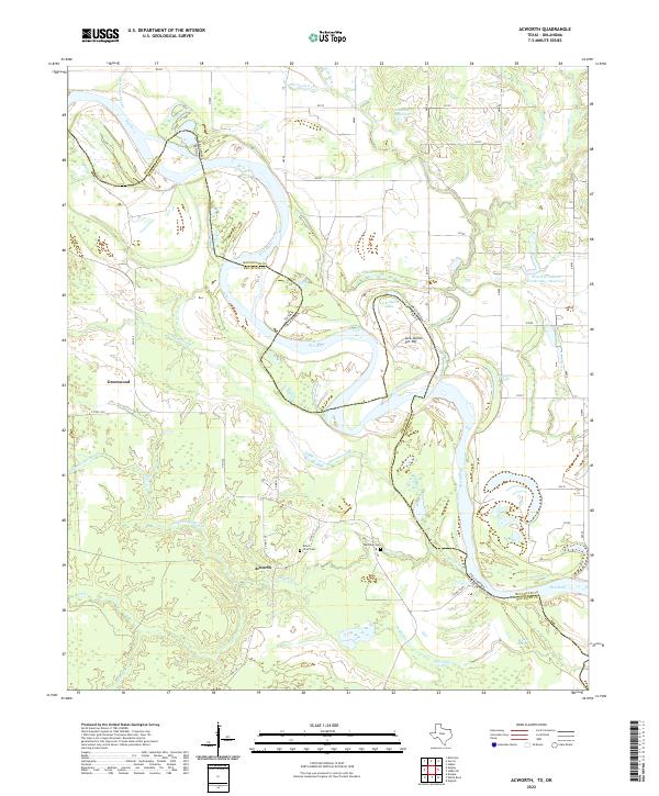 2022 Acworth2022 Print · USGSThe Red River border between Texas and Oklahoma is captured here in the early twenty-first century. Researchers can trace the rural communities of Acworth and Greenwood, alongside family landmarks like Mount Olive Cem and Bryarly Springs.
 - 2022 Map of Clarksville, 2022 Print
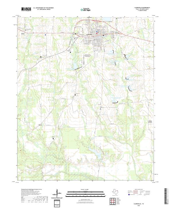 2022 Clarksville2022 Print · USGSClarksville and the surrounding Red River County prairies are captured here in the early twenty-first century. Genealogists can locate family sites at McKenzie Cem, New Shamrock Cem, and Pleasant Hill Cem while tracing the rural road network.
 - 2022 Map of Mitchell Creek, 2022 Print
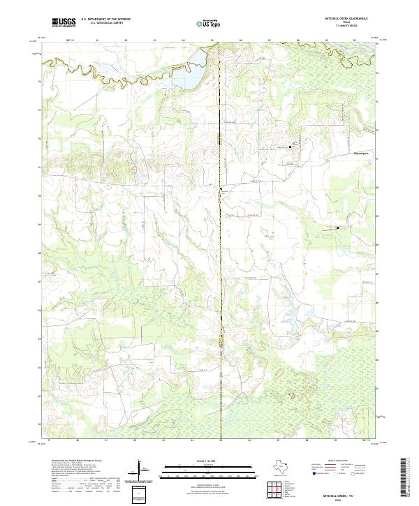 2022 Mitchell Creek2022 Print · USGSNortheast Texas ranching lands and river bottoms are preserved here as they appeared in the early 2020s. Researchers can locate family landmarks like Fairview Cem and Colliers Chapel Cem near the banks of Mitchell Cr.
Showing maps 1-25 of 30
Top cities of Red River County
- Clarksville historical maps
- Bogata historical maps
- Detroit historical maps
- Avery historical maps
- Annona historical maps
Frequently asked questions
- What are the different types of historical maps available for Red River County?
- What is the oldest map of Red River County?
- Where can I purchase historical maps of Red River County for my home or office?
- Where can I download high-res historical maps of Red River County?
- Are there historical topographic maps available for Red River County?
- Is there historical aerial imagery available for Red River County?
- Where are historical maps of Red River County sourced from?