2000s (21st Century) Maps of Stephens County, Texas
Explore 100 historic maps of Stephens County from the 2000s (21st Century). These maps offer a rare glimpse into what life looked like during the 2000s — showing old roads, neighborhoods, homes, and landmarks that have changed or disappeared over time.
Whether you're researching your family's past, planning a metal detecting trip, or studying how Stephens County's landscape evolved across the 2000s, these high-resolution maps are a powerful tool for exploring the history of this region.
- Focus on a specific era: All maps on this page are from the 2000s, giving you a focused view of this time period.
- See what’s changed: Compare century-old streets, trails, and buildings to today's modern landscape using overlays and satellite layers.
- Research with precision: Use these maps for genealogy, historical research, land use analysis, or educational projects.
- View, download, or print: Maps are fully viewable online in high resolution, and can be downloaded or printed for your own records.
Start exploring Stephens County's history through authentic maps from the 2000s. This is your window into the past.
Stephens County, TX maps
(100)- 2010 Map of Strawn West, 2010 Print
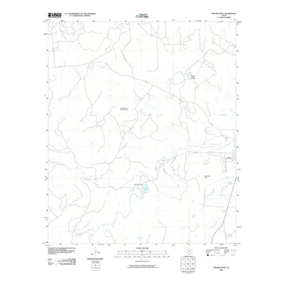 2010 Strawn West2010 Print · USGSThe western outskirts of Strawn, Texas, are captured here in the early twenty-first century, showing a landscape defined by ranch roads and water management. Local historians can trace family-named routes and landmarks like Evensville Peak, Tucker Lake, and Hohhertz Rd.
 - 2010 Map of La Casa, 2010 Print
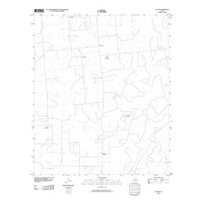 2010 La Casa2010 Print · USGSThe ranching country of eastern Stephens County is captured here in the early twenty-first century, showing a landscape of scattered settlements and winding creek beds. Researchers can locate Mount Zion Cemetery and trace local water works like the Glynn Wilson Dam and J S McDowell Lake Dam.
 - 2010 Map of Cove Creek, 2010 Print
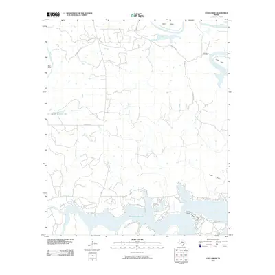 2010 Cove Creek2010 Print · USGSPalo Pinto County at the start of the decade shows a landscape defined by the winding Brazos River and the recreational waters of Possum Kingdom Lake. Local historians can trace family sites near Ming Bend Cemetery or explore the shoreline developments around Sandy Beach and Possum Kingdom State Park.
 - 2010 Map of Ivan South, 2010 Print
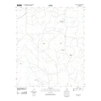 2010 Ivan South2010 Print · USGSThe rural landscape of Stephens County comes into focus here during the early twenty-first century. Researchers can trace local burial sites like the Bee Branch Cemetery or study water management features such as the Stephens Company Water Company Lake Dam and Monroe Veal Dam.
 - 2010 Map of Ivan North, 2010 Print
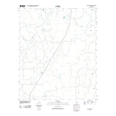 2010 Ivan North2010 Print · USGSYoung County's river-carved landscape is documented here in the early twenty-first century, centered on the Ivan community. Genealogists can locate several historic burial grounds including South Bend Cemetery and the remote Hill Cemetery.
 - 2010 Map of Edwards Branch, 2010 Print
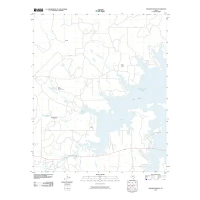 2010 Edwards Branch2010 Print · USGSStephens County, Texas, is characterized here by its modern water-management landscape and rural ranching roots during the early twenty-first century. Researchers can locate the Baker Cemetery, trace the shoreline of Hubbard Creek Lake, or find the Green Ranch Airport.
 - 2010 Map of Breckenridge, 2010 Print
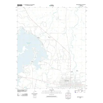 2010 Breckenridge2010 Print · USGSBreckenridge and its surrounding ranch lands appear here in the early twenty-first century, anchored by the vast waters of the Hubbard Creek Reservoir. Researchers can trace the local landscape through landmarks like Picketville Cemetery, Coal Mountain, and Gore Mountain.
 - 2010 Map of Necessity, 2010 Print
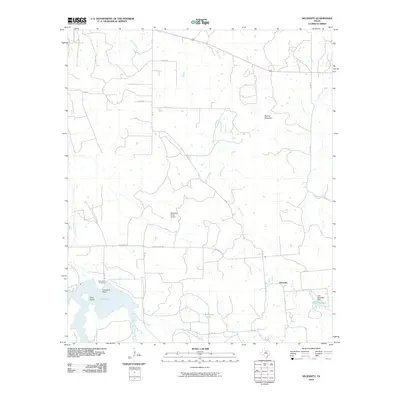 2010 Necessity2010 Print · USGSNecessity and the surrounding ranchlands of Stephens County are shown here in the early twenty-first century. Researchers can locate the Saints Rest Cemetery near Lake Daniel or trace the regional water network through Cedar Creek and Lake Necessity.
 - 2010 Map of Indian Knoll, 2010 Print
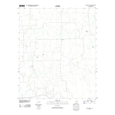 2010 Indian Knoll2010 Print · USGSStephens County ranchlands are documented here at the start of the 2010s, showing a landscape defined by seasonal creeks and rural junctions. Genealogists and local historians can trace the areas around Eureka, Dothan, and the landmark rise of Indian Knoll.
 - 2010 Map of Buck Mountain, 2010 Print
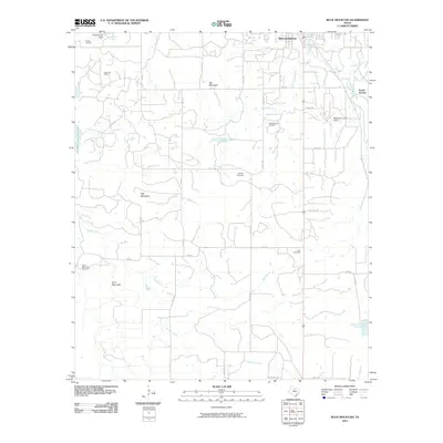 2010 Buck Mountain2010 Print · USGSBreckenridge and the surrounding oil-rich plains of Stephens County appear in detail here during the first decade of the 2000s. Researchers can trace family history at Post Oak Cemetery or locate industrial sites like the Curry Oil Field and Stephens County Airport.
 - 2010 Map of Lusk, 2010 Print
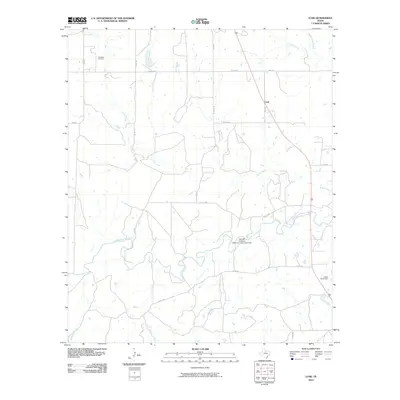 2010 Lusk2010 Print · USGSThe rural settlement of Lusk and the surrounding Throckmorton County ranch lands are detailed here during the early twenty-first century. Researchers can trace land use patterns along the Clear Fork Brazos River and identify localized infrastructure like the Woodson Oil Field and Lester Clark Dam.
 - 2010 Map of Crystal Falls, 2010 Print
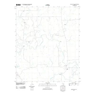 2010 Crystal Falls2010 Print · USGSThe Clear Fork Brazos River valley in North Texas is captured here in the early twenty-first century, centered on the historic settlement of Crystal Falls. Researchers can trace local lineage through several family burial grounds including Smith Cemetery, Hurford Cemetery, and Snake Den Cemetery.
 - 2010 Map of Eolian, 2010 Print
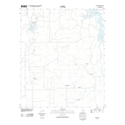 2010 Eolian2010 Print · USGSStephens County at the turn of the decade reveals a rural landscape defined by ranching, oil extraction, and localized water management. Researchers can trace ancestral sites at Shady Grove Cemetery or explore the history of the Ibex Oil Field and Mankins Mill.
 - 2010 Map of Grand Lake, 2010 Print
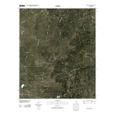 2010 Grand Lake2010 Print · USGSStephens County ranch land is captured here during the first decade of the millennium, showing a landscape defined by seasonal waterways and rural homesteads. Researchers can locate Moon Cemetery and trace the paths of Yellow Branch and Grand Lake.
 - 2010 Map of Eliasville, 2010 Print
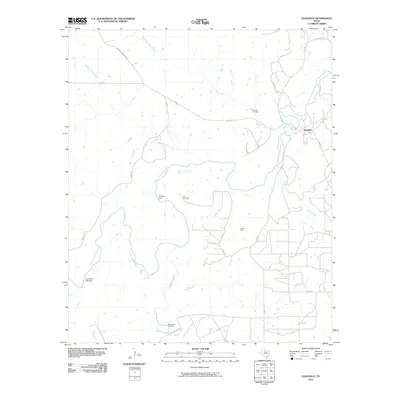 2010 Eliasville2010 Print · USGSNorth Texas ranch lands meet the winding Clear Fork Brazos River in the first decade of the 2000s. Genealogists and local historians can trace family sites at Donnell Cemetery and Yellow Fork Cemetery or locate the Hill Oil Field.
 - 2010 Map of Caddo, 2010 Print
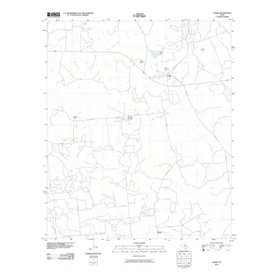 2010 Caddo2010 Print · USGSStephens County at the start of the 2010s shows a landscape shaped by petroleum and ranching. Researchers can trace local lineage at Caddo Cemetery and Macedonia Cemetery or locate industrial sites like the Gourley Oil Field.
 - 2010 Map of Brad, 2010 Print
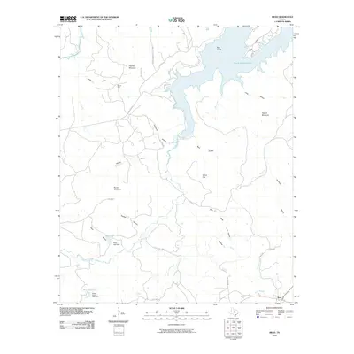 2010 Brad2010 Print · USGSPalo Pinto County ranchlands and the jagged southern shores of the lake define this region in 2010. Researchers can trace land features like Hughes Mountain and Iles Oil Field, or explore the drainages of Sam Bass Hollow and Texawa Canyon near Brad.
 - 2010 Map of Caddo NE, 2010 Print
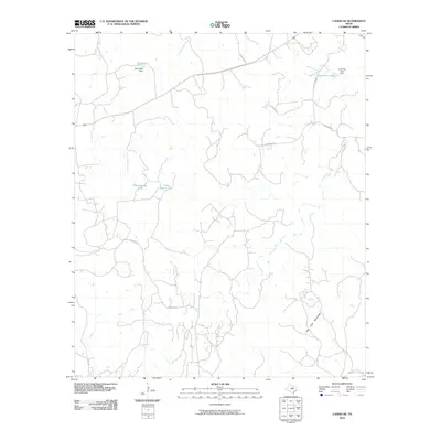 2010 Caddo NE2010 Print · USGSPalo Pinto County at the turn of the millennium shows a landscape of winding creeks and rural road networks. Genealogists and historians can trace local landmarks like Lone Star Lake, the Palo Pinto Mountains, and rural routes such as Upper Brad Rd.
 - 2010 Map of Harpersville, 2010 Print
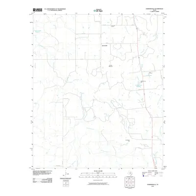 2010 Harpersville2010 Print · USGSHarpersville and the rural expanses of Stephens County are captured here in the early twenty-first century. Researchers can locate family landmarks and water sources like the Harpersville Cemetery, Double Mountain, and H Graden Dye Reservoir.
 - 2011 Map of Wayland, 2011 Print
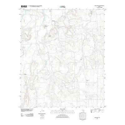 2011 Wayland2011 Print · USGSThe rural landscape of Stephens County in the early twenty-first century is defined by the rugged hills surrounding Wayland and Gunsight. Researchers can trace local lineage at Acker Cemetery and examine the geography of the Middle Fork Gunsolus Creek and Gunsight Mountain.
 - 2012 Map of Necessity, 2012 Print
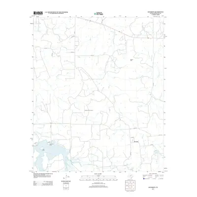 2012 Necessity2012 Print · USGSStephens County ranchlands and reservoirs are captured here in the early twenty-first century. Family history researchers can locate Saints Rest Cem and trace the shores of Lake Daniel and Lake Necessity near the community of Necessity.
 - 2012 Map of Caddo, 2012 Print
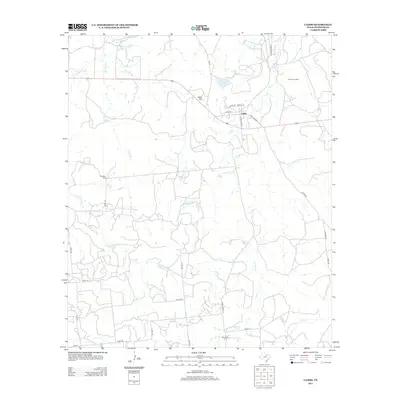 2012 Caddo2012 Print · USGSThe rural expanses of Stephens County are captured here in the early twenty-first century, centered on the settlement of Caddo. Family historians and researchers can locate established burial grounds like Swenson Cem and Macedonia Cem, or trace the industrial footprint of the Gourley Oil Field.
 - 2012 Map of Eliasville, 2012 Print
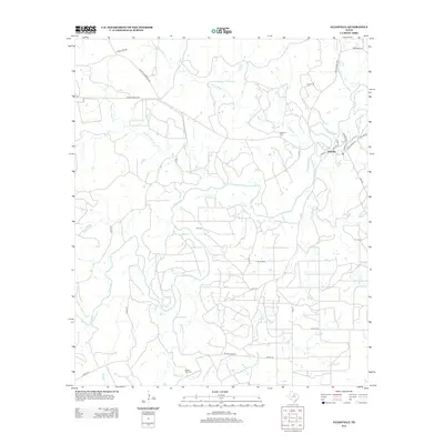 2012 Eliasville2012 Print · USGSEliasville sits at a prominent bend of the Clear Fork in the early twenty-first century, surrounded by the creeks and oil fields of Young County. Genealogists and local historians can locate family landmarks like Donnell Cem, Hill Cem, and the Hill Oil Field.
 - 2012 Map of Ivan South, 2012 Print
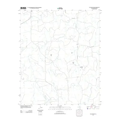 2012 Ivan South2012 Print · USGSStephens County ranching country is shown here in the early twenty-first century, centered on the community of Ivan. Local historians can trace family roots at the Bee Branch Cem and explore the distinct topography of Devils Reservation Mtn and Lime Rock Mtn.
 - 2012 Map of Crystal Falls, 2012 Print
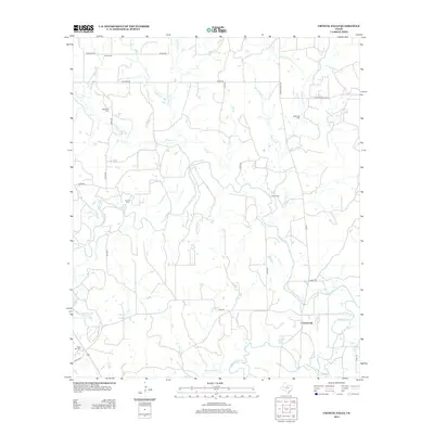 2012 Crystal Falls2012 Print · USGSStephens County ranching country is captured here in the early twenty-first century, showing the scattered settlements around the Brazos riverbed. Genealogists can locate family burial sites like Snake Den Cem and Mathiews Cem near the banks of Hubbard Cr.
Showing maps 1-25 of 100
Top cities of Stephens County
Frequently asked questions
- What are the different types of historical maps available for Stephens County?
- What is the oldest map of Stephens County?
- Where can I purchase historical maps of Stephens County for my home or office?
- Where can I download high-res historical maps of Stephens County?
- Are there historical topographic maps available for Stephens County?
- Is there historical aerial imagery available for Stephens County?
- Where are historical maps of Stephens County sourced from?